The best cycling routes in Presidential Range-Dry River Wilderness
5.0
(1)
89
riders
11
rides
Touring cycling routes in Presidential Range-Dry River Wilderness navigate a landscape characterized by high ridgelines, diverse forests, and river valleys within New Hampshire's White Mountain National Forest. While the wilderness area itself features rugged, steep terrain, the broader region offers accessible routes. The Presidential Range Rail Trail provides a dedicated path for cyclists, offering views of the iconic Presidential Mountain Range. This area includes spruce-fir and northern hardwood forests, with river valleys like the Dry River cutting through the terrain.
…Last updated: July 12, 2026
10
riders
125km
07:58
1,590m
1,590m
Hard bike ride. Very good fitness required. Mostly paved surfaces. Suitable for all skill levels.
3
riders
25.3km
01:42
400m
400m
Embark on a moderate touring cycling adventure through the scenic White Mountain National Forest with the Base Station Road & Mount Clinton Road loop. This route covers 15.7 miles (25.3…

Sign up for free
1
riders
88.9km
05:46
1,110m
1,110m
Embark on a challenging touring bicycle journey through the White Mountain National Forest with the Jackson Falls & Dundee Road loop. This difficult route stretches for 55.2 miles (88.9 km),…
2.52km
00:09
10m
10m
The Thorne Pond Loop offers a delightful and accessible touring cycling experience around a gentle pond in Bartlett, New Hampshire. You'll enjoy picturesque views, often featuring the pond's reflection of…
5.0
(1)
73
riders
12.3km
02:14
1,400m
20m
The Mount Washington Auto Road Bicycle Hillclimb race route is an unrelenting ascent, widely considered one of the world's toughest cycling climbs. Over 7.7 miles (12.3 km), you'll gain an…
Get access to more routes and recommendations from other explorers.
Sign up for free
Already have an account?
Our route recommendations are based on thousands of hikes, rides, and runs completed by other people on komoot.
Start today with a free account
Your next adventure awaits.
Login or Signup
Popular around Presidential Range-Dry River Wilderness
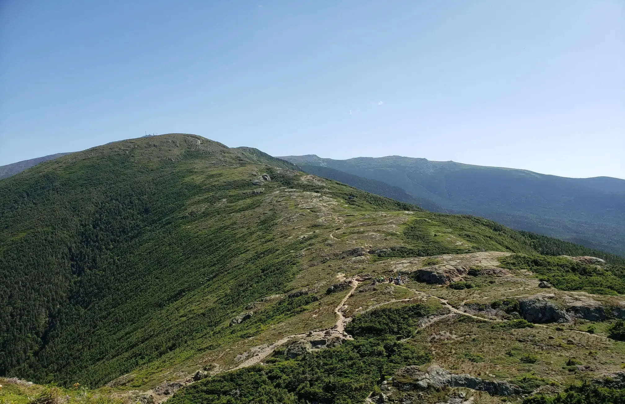
The Presidential Traverse — A classic New Hampshire sandbag
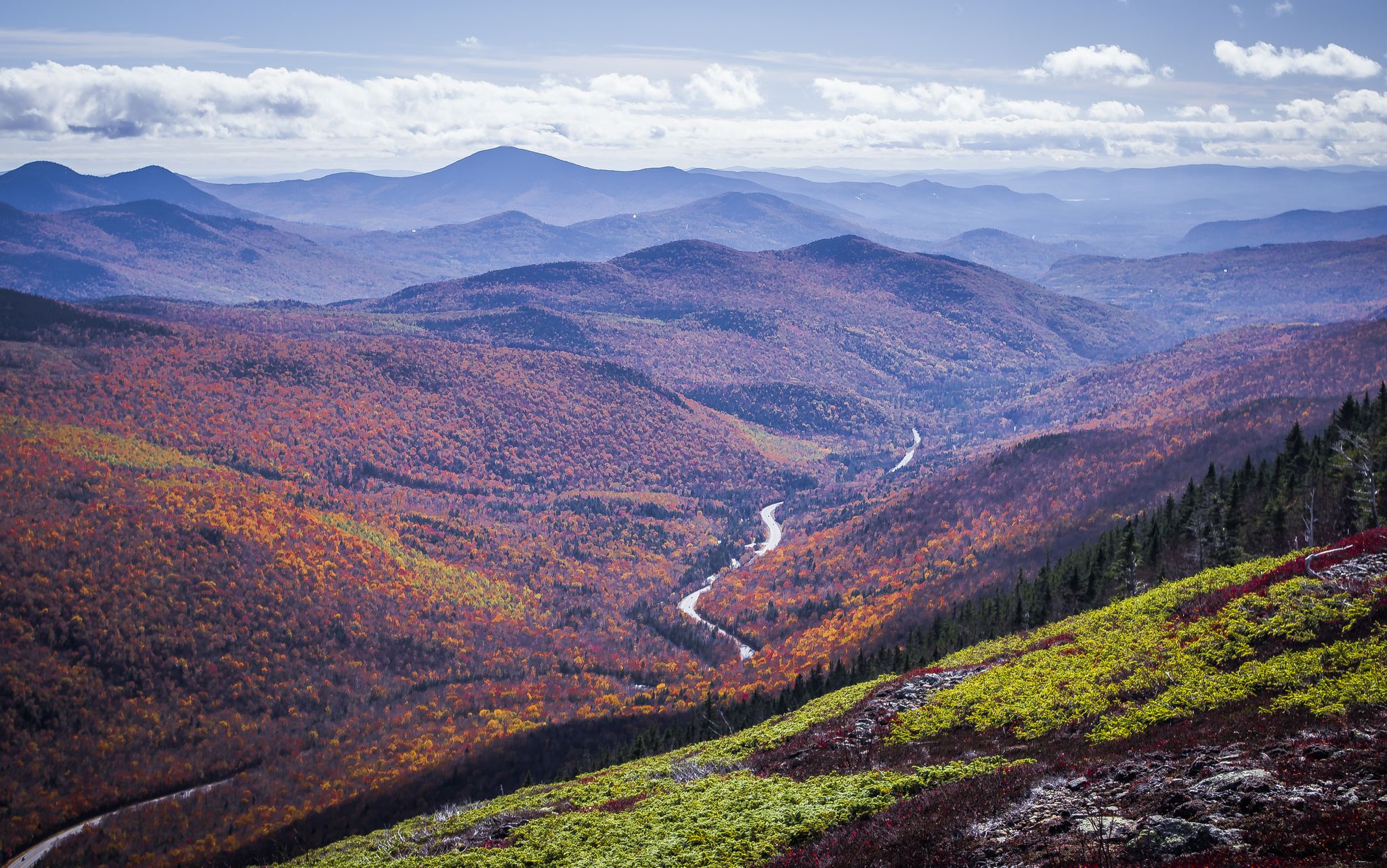
Cohos Trail — Exploring New Hampshire’s remote North Woods
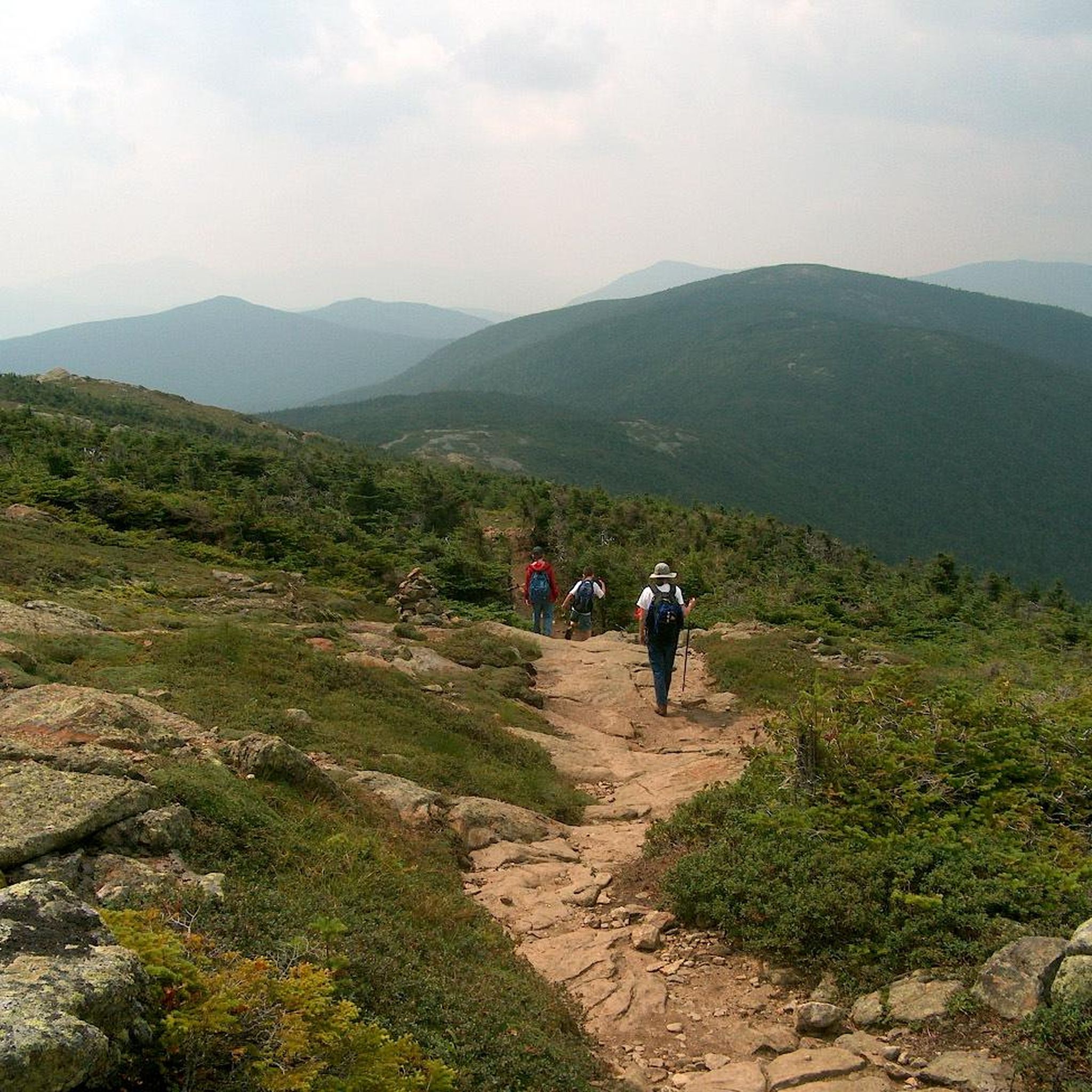
Hiking in Presidential Range-Dry River Wilderness
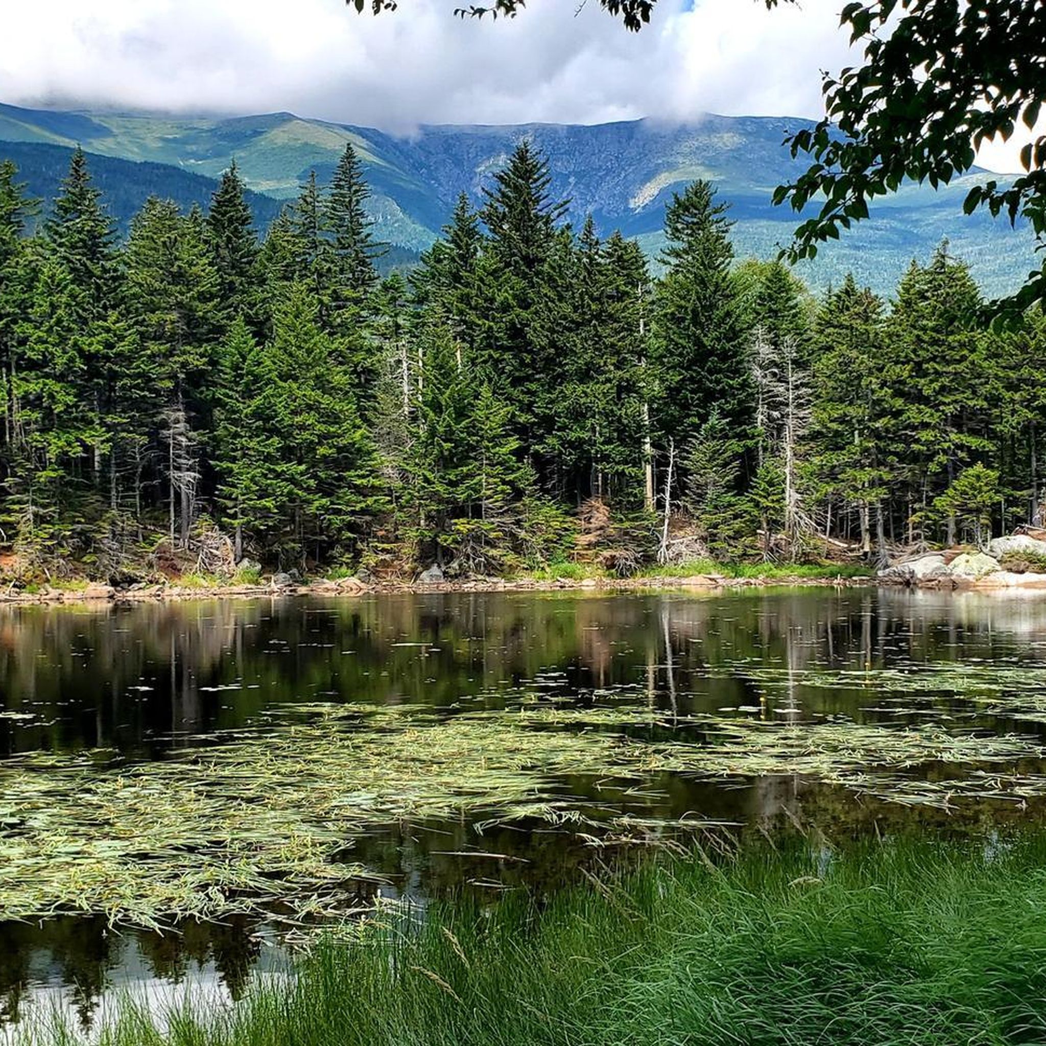
Running Trails in Presidential Range-Dry River Wilderness
Road Cycling Routes in Presidential Range-Dry River Wilderness
MTB Trails in Presidential Range-Dry River Wilderness
Other adventures in Presidential Range-Dry River Wilderness

Tips from the Community

The highway is easy to ride on a bike because of the wide shoulder. And there are always great views.
0
0

This remarkable 7.6-mile climb, accessible to cyclists only twice each year, commences in the town of Glen House. From there, the Mt. Washington Auto Road winds its way upward like a a two-lane ribbon. As you climb, you pass through forests and ultimately above the treeline. The views will pay you back when you reach the 6,288-foot summit of Mt. Washington!
0
0

Washington is the most prominent mountain in the eastern U.S. and an absolutely incredible peak to bag. This is easily one of the best summits in New England. It is also the most dangerous if you come unprepared, especially in the winter. Washington creates its own rapidly changing weather system and is known for being the deadliest small mountain in the world. The second-fastest wind speed on earth was recorded here at over 230mph. That said, a quarter million people visit Washington every year, and if you come prepared and respect the mountain you have nothing to fear and are guaranteed to have an epic summit.
0
0

Dress warmly. Snow season begins July 1 and ends June 30. We were at 68 mph at the summit. Keeping your hat on is a good idea. Two days ago, when we were last up there, it was 73 degrees Fahrenheit and the wind was blowing lightly around 23 mph. Mt. Washington is the highest peak within 1,000 miles, making it an exposed location with what the US Weather Service calls the worst and most surprising weather in the world.
0
0

Lily Pond is located along the scenic Kancamagus Highway, about 18 miles west of Conway. It is also located at the Livermore N Trailhead. This natural pond is surrounded by beautiful foliage and frequented by thirsty moose seeking a drink. There is a gravel turn-out you can use for parking, just be mindful when crossing the road.
1
0

Echo Lake is a 38.2-acre lake in Franconia Notch State Park. This lake is a coldwater fishery and can be a good spot to see some wildlife along your ride.
0
0
Here's a spot with an old bridge offering stunning views of the rolling hills and green landscapes to the West. It's a great place to begin or finish your ride along the bike path.
0
0
Frequently Asked Questions
How many touring cycling routes are available in the Presidential Range-Dry River Wilderness region?
The Presidential Range-Dry River Wilderness region offers a variety of touring cycling routes. Komoot currently features 10 routes, catering to different preferences and skill levels.
What is the best time of year for touring cycling in this region?
The best time for touring cycling in the Presidential Range-Dry River Wilderness region is typically from late spring through early autumn. During these months, you'll experience more favorable weather conditions and can enjoy the diverse forests, which are particularly spectacular during autumn foliage. Be aware that higher elevations can experience extreme weather, even in summer.
Are there options for different skill levels among the touring cycling routes?
Yes, the region offers routes for various skill levels. You'll find 1 easy route, 3 moderate routes, and 6 difficult routes, ensuring there's something for everyone from beginners to experienced cyclists.
What natural features or landmarks can I see while cycling in the Presidential Range-Dry River Wilderness region?
While cycling in the broader Presidential Range region, you can enjoy exquisite views of the Presidential Mountain Range, diverse forests, and river valleys. Notable landmarks and natural features include Mount Jackson Summit and Mount Isolation. The Jackson Falls & Dundee Road loop, for example, passes by Jackson Falls.
Are there any easy routes suitable for beginners or families?
Yes, there is an easy route suitable for beginners. The Thorne Pond Loop is a short 1.6-mile (2.5 km) path with minimal elevation gain, making it a great option for a relaxed ride or families.
What kind of terrain can I expect on touring cycling routes in this region?
The terrain for touring cycling in the Presidential Range-Dry River Wilderness region varies. While the wilderness itself is rugged, routes in the broader area, like the Presidential Range Rail Trail, offer smoother surfaces. Expect a mix of paved roads, gravel paths, and some routes with significant elevation changes, navigating high ridgelines and river valleys.
Are there any challenging routes for experienced touring cyclists?
Absolutely. For experienced touring cyclists seeking a challenge, the region offers several difficult routes. One such route is the Kancamagus Highway – Lower Ammonoosuc Falls loop from Bartlett, a demanding 77.8-mile (125.1 km) trail with over 5,200 feet (1,593 m) of elevation gain, offering extensive views along a scenic byway.
Are there any loop routes for touring cyclists?
Yes, several loop routes are available for touring cyclists. For instance, the Base Station Road & Mount Clinton Road loop is a moderate 15.7-mile (25.3 km) path that explores roads near the base of Mount Washington, providing a circular journey.
What do other touring cyclists enjoy the most about touring cycling in Presidential Range-Dry River Wilderness?
The area is highly rated by the komoot community, with an average score of 5.0 stars. Reviewers often praise the stunning mountain views, the diverse natural landscapes, and the challenging yet rewarding climbs found on many routes.
Can I visit any huts or shelters along the cycling routes?
While many huts are primarily for hikers in the higher alpine zones, some routes may offer views or access points to areas near these facilities. For example, the iconic Lake of the Clouds Hut and Lakes View and Mizpah Spring Hut are significant features in the broader Presidential Range, though direct cycling access to them might be limited to specific roads or trails.
What is a good moderate touring cycling route to explore the area?
A great moderate option is the Base Station Road & Mount Clinton Road loop. This 15.7-mile (25.3 km) route offers a balanced challenge and allows you to explore roads near the base of Mount Washington without the extreme difficulty of the summit climb.
Are there any routes that offer significant elevation challenges?
Yes, for those seeking significant elevation challenges, the Mount Washington Auto Road Bicycle Hillclimb race route is an excellent choice. This 7.7-mile (12.3 km) route features an intense climb of over 4,600 feet (1,400 m), known for its steep grades.
Most popular routes in Presidential Range-Dry River Wilderness
Most popular attractions in Presidential Range-Dry River Wilderness

Get inspired with the komoot mobile app


Explore more
Browse the best Cycling routes in other regions.
