The best running trails in San Gorgonio Wilderness
50
runners
5
runs
Jogging in San Gorgonio Wilderness offers diverse terrain, from low foothill areas to mountain peaks reaching over 11,500 feet. The region is characterized by dense forests of pine and fir, alpine meadows, and chaparral, providing varied scenic backdrops. Numerous trails lead to or offer vistas of impressive peaks and sparkling streams. This extensive trail system allows runners to experience multiple ecological zones within a single outing.
Best jogging routes in San Gorgonio Wilderness
- The most popular jogging route is Vivian…
Last updated: June 29, 2026
10
runners
18.2km
02:48
990m
990m
Hard run. Very good fitness required. Mostly paved surfaces. Suitable for all skill levels.
13
runners
33.3km
04:48
1,420m
1,420m
Hard run. Very good fitness required. Mostly paved surfaces. Suitable for all skill levels.

Sign up for free
4
runners
7.18km
00:54
120m
120m
Moderate run. Good fitness required. Mostly paved surfaces. Suitable for all skill levels.
4.75km
00:36
90m
90m
This easy 3.0-mile jogging trail takes you past Castle Rock viewpoints and the serene Bluff Lake Reserve in San Bernardino National Forest.
2
runners
7.77km
00:57
240m
240m
Moderate run. Good fitness required. Mostly paved surfaces. Suitable for all skill levels.
Our route recommendations are based on thousands of hikes, rides, and runs completed by other people on komoot.
Start today with a free account
Your next adventure awaits.
Login or Signup
Popular around San Gorgonio Wilderness
Tips from the Community

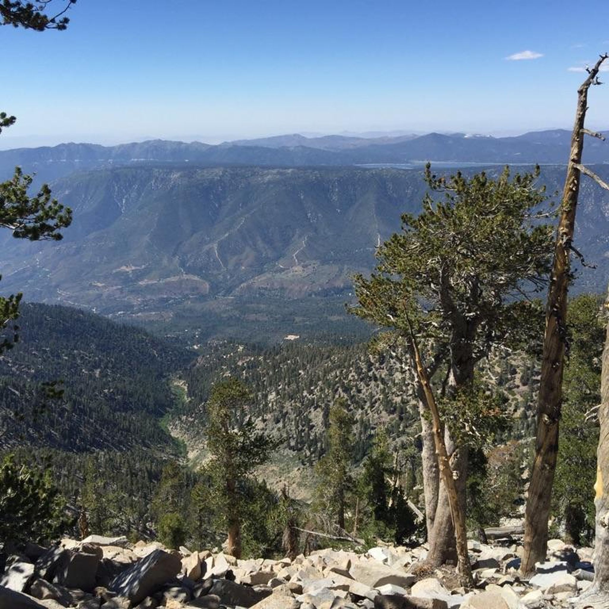
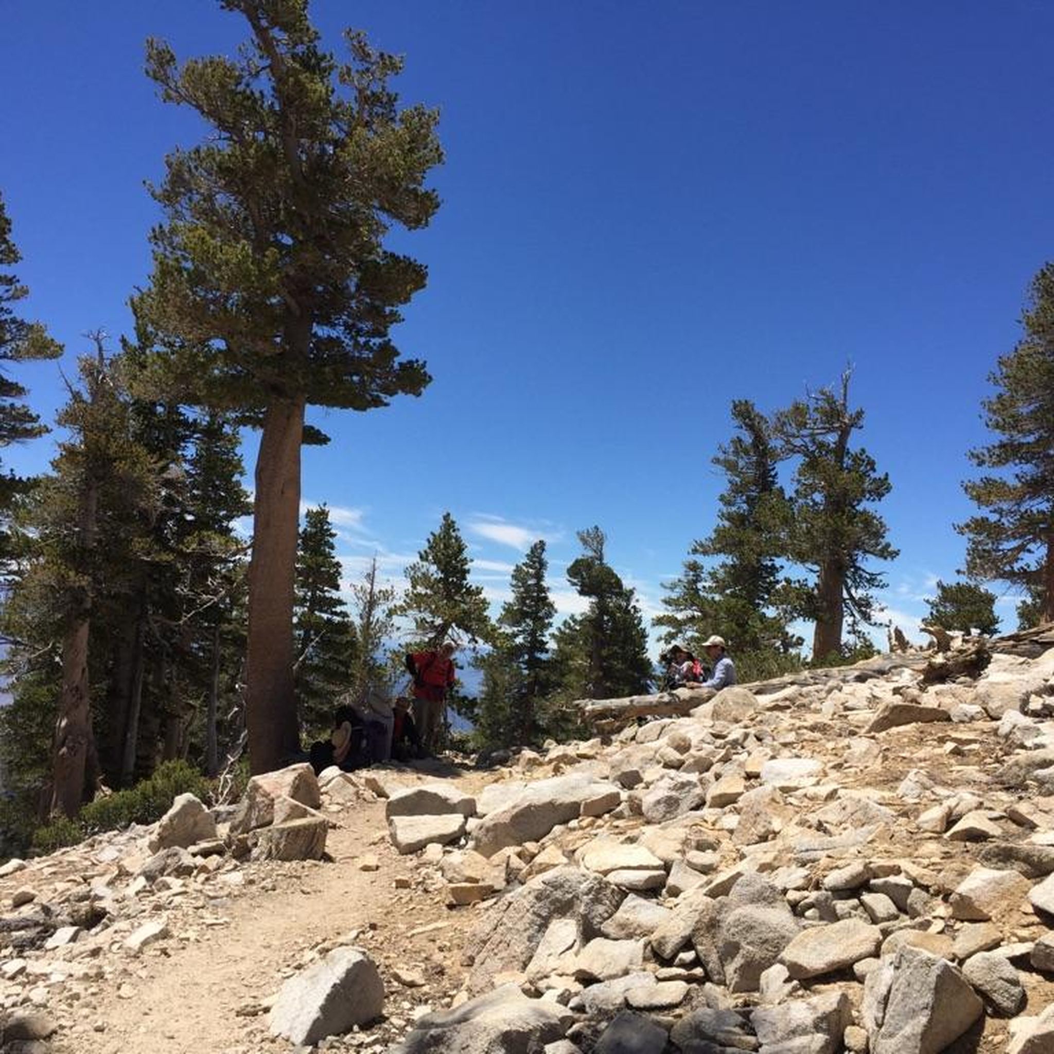
The Vivian Creek Trail is a short but steep trail that takes you to the peak of Mt. San Gorgonio. There are several great viewpoints along the way as you make you way up the mountain.
0
0

Only 2+ miles from the trailhead, this hike makes for a perfect introduction to snowshoeing with great views of the surrounding mountains.
0
0

San Gorgonio Mountain, also called Mount San Gorgonio or Old Greyback, is the highest peak in Southern California, standing at 11,503 feet. The mountain has a pyramid-like shape, with a steep north face and a gentler south face. On clear days, hikers can enjoy expansive 360-degree views of San Gorgonio Wilderness and even the Pacific Ocean.
0
0
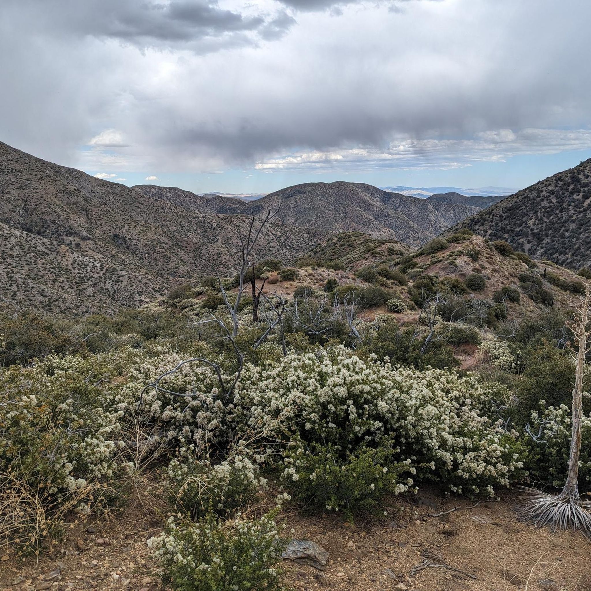
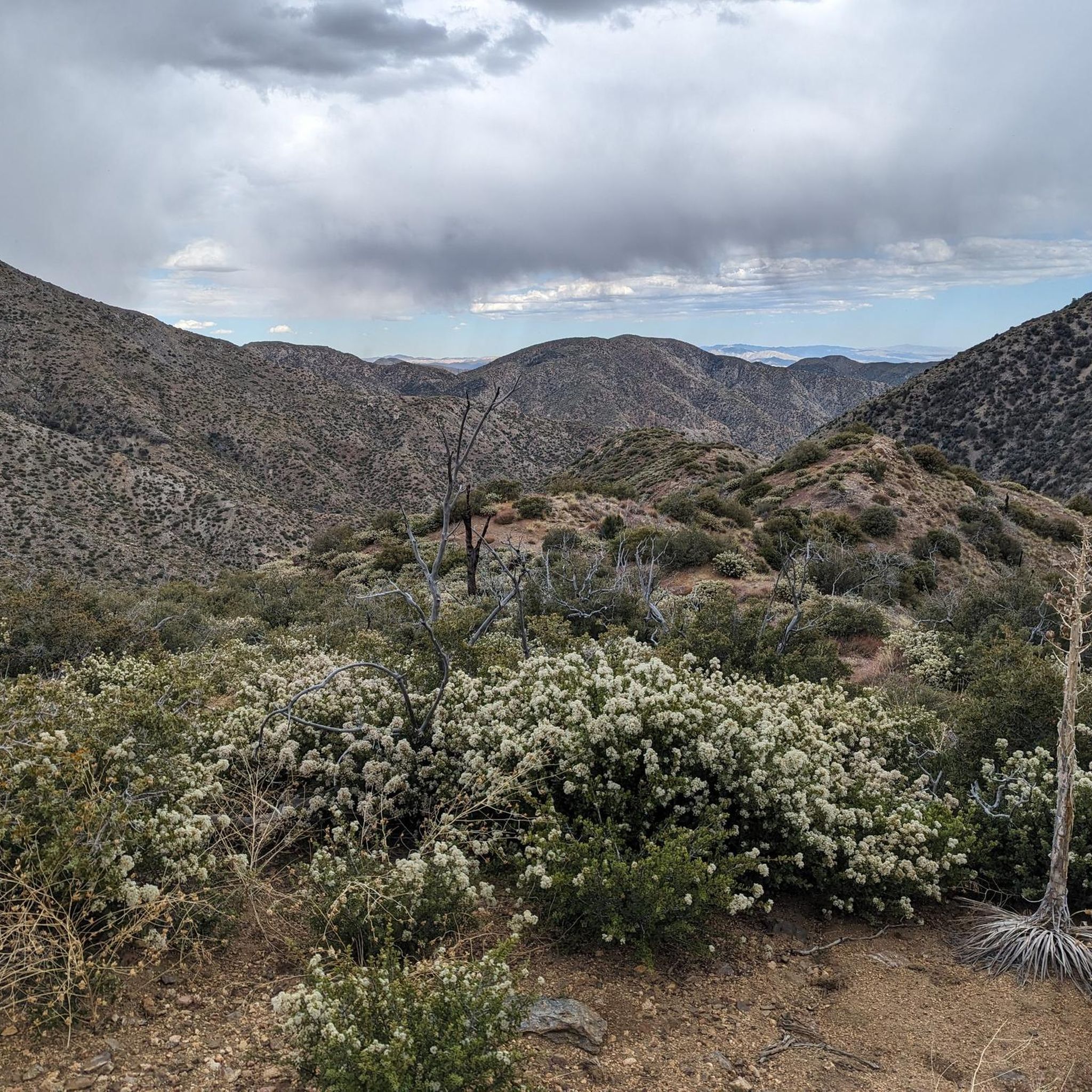
The San Bernardino Peak Divide Trail offers stunning views of the San Gorgonio Wilderness, but hikers must obtain a permit for day and overnight use. Although beautiful, the trail shows the effects of past wildfires, and hikers should prepare for a 13+ mile stretch with no water, depending on snowmelt. The trail can be dangerous in snowy conditions, so bring any necessary equipment or wait for the summer months when the snow melts.
0
0

The preserve encapsulates a serene mountain marsh with sedge, grasses, and endangered bluegrass and checkerbloom. The lake is azure and pillars of quartz monzonite decorate the landscape.
0
0
The ascent up the canyon is steeper than moon ridge, so you may find it easier to go up this way when completing the moon ridge loop. The trail is easy singletrack through beautiful forest.
0
0
The lake is a pristine mountain marsh that sits at 7,600 ft above sea level. The trail around the lake is easy and surrounded by boulders and towering pines.
0
0
Castle Rock is a boulder pile that makes a popular destination for its scenic views that look out upon Big Bear Lake and the surrounding mountains.
0
0
Frequently Asked Questions
How many running routes are available in San Gorgonio Wilderness?
There are 5 dedicated running routes available in the San Gorgonio Wilderness on komoot, ranging from easy to difficult. These trails allow you to experience the region's diverse terrain, from lower foothills to high mountain peaks.
What kind of terrain can I expect on the running trails in San Gorgonio Wilderness?
The San Gorgonio Wilderness offers a wide variety of terrain for runners. You'll find everything from low foothill areas to challenging mountain peaks reaching over 11,500 feet. The landscape features dense forests of pine and fir, alpine meadows, and chaparral, providing constantly changing scenic backdrops. Expect significant elevation changes on many routes, offering diverse and challenging conditions.
Are there any easy or moderate running routes for beginners in San Gorgonio Wilderness?
Yes, while many routes are challenging, there are options for different ability levels. For an easier run, consider the Castle Rock and Bluff Lake Trail, which is 3 miles (4.7 km) long. A moderate option is the Whitewater River & Red Dome via PCT – San Bernardino National Forest route, covering about 4.5 miles (7.1 km).
Do I need a permit to jog or run in the San Gorgonio Wilderness?
Yes, permits are required for all visits to the San Gorgonio Wilderness. It's essential to secure one in advance to ensure compliance with local regulations and help preserve the natural environment.
What natural features or landmarks can I see along the running routes?
The San Gorgonio Wilderness is rich in natural beauty. Along your runs, you can encounter sparkling streams, alpine lakes like Dollar Lake and San Gorgonio Lake, and impressive mountain peaks. Many trails offer panoramic views of the surrounding region, including Yucaipa Ridge and Galena Peak. You might also spot wildlife such as mule deer or golden eagles. For specific peaks, consider routes that offer views of Mount San Gorgonio Summit or San Bernardino Peak.
Are there any circular running routes in the San Gorgonio Wilderness?
Yes, there are several excellent loop options for runners. The Vivian Creek Trail loop from Restrooms is a popular 11.3-mile (18.2 km) route. For a longer, more challenging loop, consider the Jepson Peak – Mount San Gorgonio Summit loop from South Fork trailhead parking lot, which spans 20.7 miles (33.3 km).
What is the best time of year to go running in San Gorgonio Wilderness?
The significant elevation differences in San Gorgonio Wilderness mean conditions can vary greatly. While lower elevations might be dry, higher areas can retain snow well into the season. Generally, late spring through early fall offers the most favorable conditions, but always check current weather and trail conditions, especially for higher-altitude routes, as snow can persist.
Are there any family-friendly running trails in the area?
For families looking for a less strenuous outing, the Castle Rock and Bluff Lake Trail is an easy option. It's a shorter route with less elevation gain, making it suitable for a family jog or walk.
Is public transport available to access the trailheads in San Gorgonio Wilderness?
Public transport options directly to the remote trailheads within the San Gorgonio Wilderness are generally limited. Access is primarily by private vehicle, with parking available at key trailheads like South Fork. It's advisable to plan for car access when visiting the wilderness.
What do other runners enjoy most about the trails in San Gorgonio Wilderness?
Runners frequently praise the diverse and dramatic landscapes, from dense forests to alpine meadows and panoramic mountain views. The extensive trail system offers a variety of challenges, and the opportunity to experience multiple ecological zones within a single run is a highlight for many. The presence of sparkling streams and alpine lakes also adds to the scenic appeal.
Are there any dog-friendly running trails in San Gorgonio Wilderness?
While dogs are generally allowed on trails in the San Gorgonio Wilderness, they must be kept on a leash at all times. It's always best to check the specific regulations for each trail or wilderness area before heading out with your canine companion, as rules can vary and some areas might have restrictions to protect wildlife.
What are the parking facilities like at the trailheads?
Key trailheads such as South Fork Trailhead provide parking facilities. However, given the popularity of the area, especially during peak seasons, parking can fill up quickly. It's recommended to arrive early, particularly on weekends, to secure a spot. Always check for any specific parking regulations or fees before your visit.
Most popular attractions in San Gorgonio Wilderness

Get inspired with the komoot mobile app


