The best road cycling routes in San Gorgonio Wilderness
4.3
(3)
179
riders
5
rides
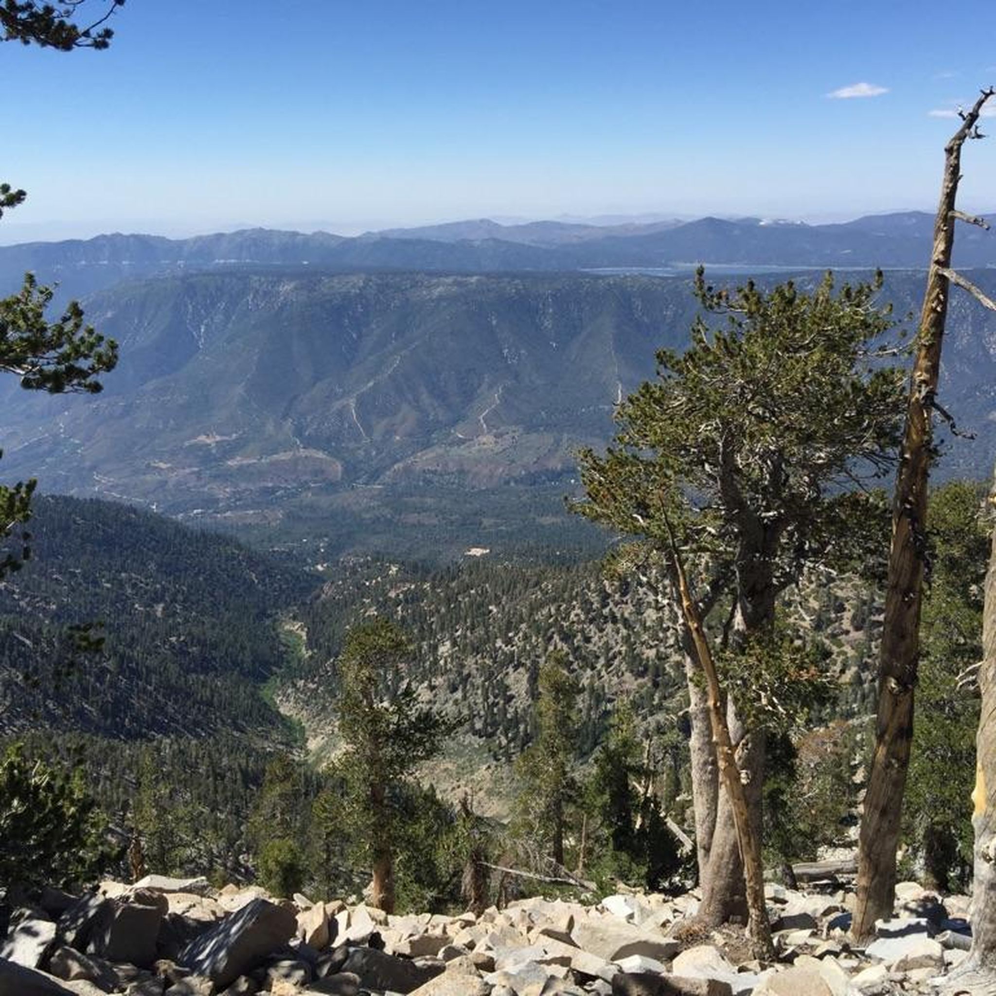
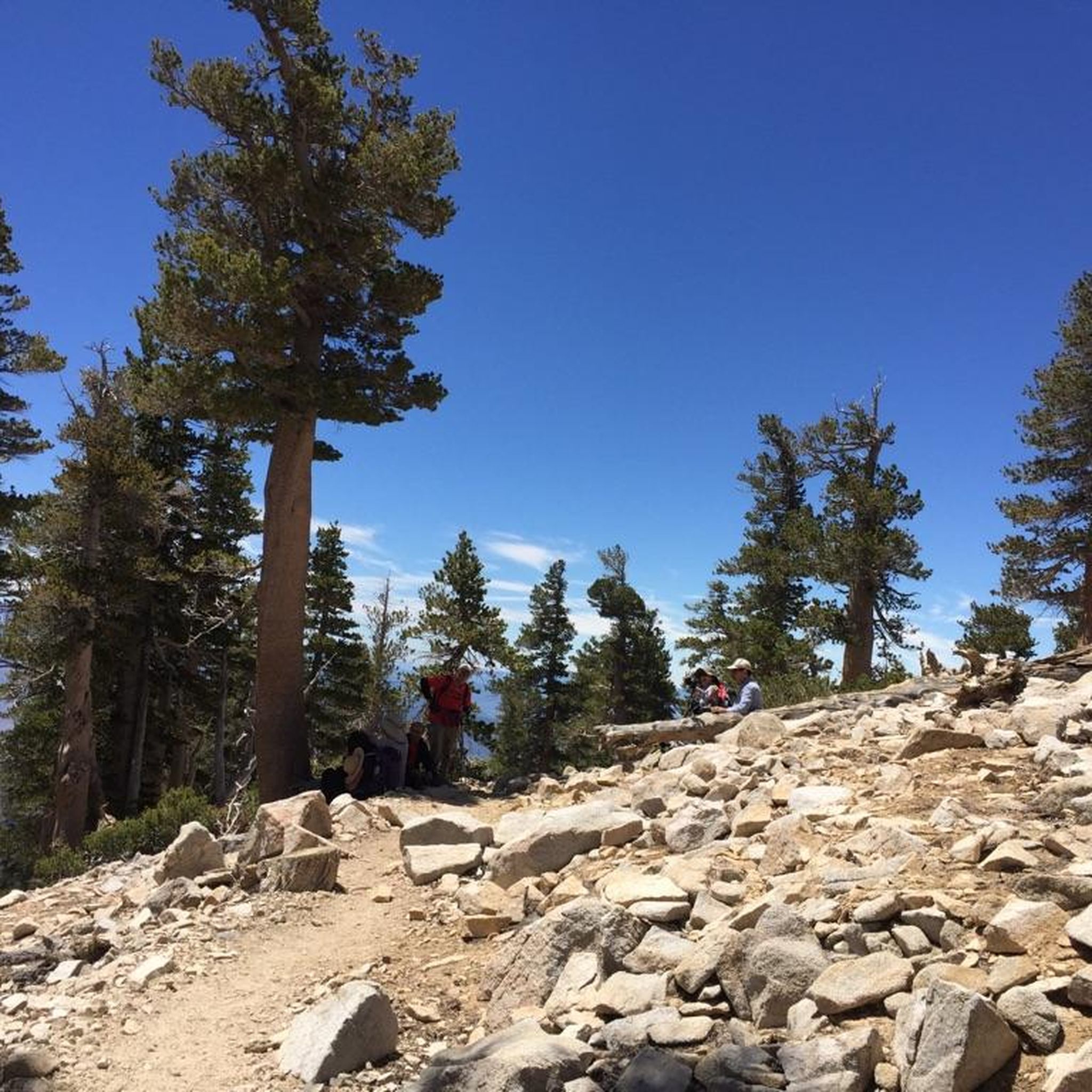
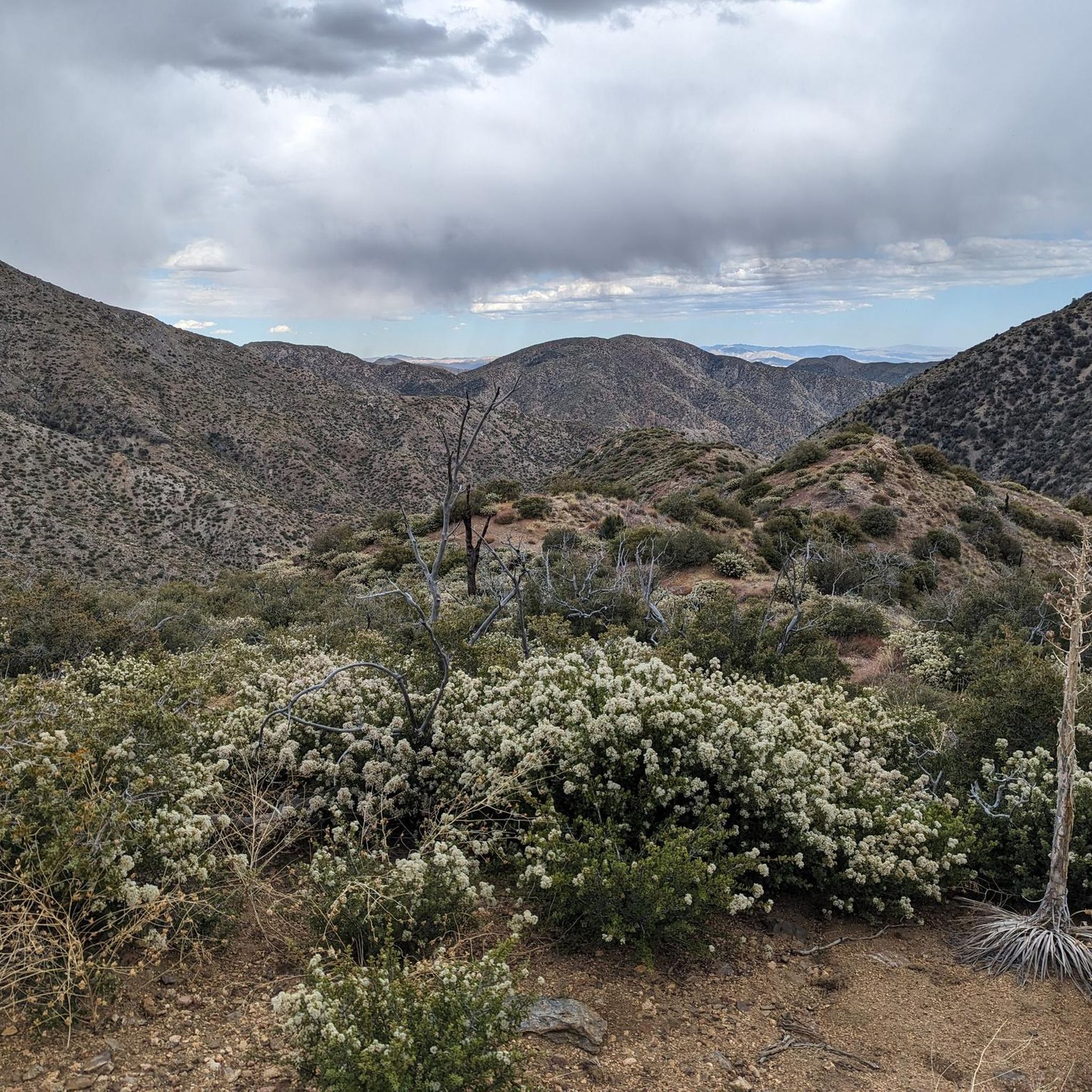
Road cycling in San Gorgonio Wilderness offers diverse terrain adjacent to the designated wilderness area, which itself restricts wheeled mechanical devices. The region transitions from desert landscapes to high mountain environments, with elevations reaching over 11,500 feet at San Gorgonio Peak. Cyclists can experience a blend of rolling foothills, canyons, and pine forests within the surrounding San Bernardino National Forest. These areas provide varied road cycling routes with significant elevation changes and panoramic views.
Best road cycling routes in San…
Last updated: July 13, 2026
5.0
(1)
36
riders
80.1km
03:43
870m
870m
Moderate road ride. Good fitness required. Mostly well-paved surfaces and easy to ride.
10
riders
23.2km
01:03
210m
210m
Easy road ride. Great for any fitness level. Mostly well-paved surfaces and easy to ride.

Sign up for free
30
riders
101km
05:50
2,260m
2,260m
Hard road ride. Very good fitness required. Mostly well-paved surfaces and easy to ride.
3.5
(2)
46
riders
Easy road ride. Great for any fitness level. Mostly well-paved surfaces and easy to ride.
25
riders
Moderate road ride. Good fitness required. Mostly well-paved surfaces and easy to ride.
Our route recommendations are based on thousands of hikes, rides, and runs completed by other people on komoot.
Start today with a free account
Your next adventure awaits.
Login or Signup
Popular around San Gorgonio Wilderness
Tips from the Community

From this bridge, you can enjoy a privileged view of Big Bear Lake, nestled between mountains. You'll be treated to panoramic views of the sparkling lake, surrounded by pine forests and rugged peaks. You can refuel in Big Bear Village or pack a picnic to enjoy by the lakeshore.
1
0

The Alpine Pedal Path is a 3-mile paved path along the north shore of Big Bear Lake. The path is popular with cyclists, as well as walkers and runners.
0
0

Baldwin Lake is a smaller lake located next to Big Bear Lake, sitting at an elevation of 7,000 feet. While not as large or famous as Big Bear Lake, Baldwin Lake is home to a unique plant called Baldwin Lake linanthus. This rare flowering plant belongs to the phlox family and thrives at elevations between 5,600 to 7,900 feet.
0
0

Here you can ride your bike or walk along the footbridge on Big Bear Boulevard.
1
0

The Stanfield Marsh Boardwalk is a lovely 1.6-mile path along Baker's Pond, located at Stanfield Marsh and Wildlife Preserve. This peaceful boardwalk offers fantastic wildlife-watching opportunities, with views of birds such as ducks, geese, herons, and even Bald Eagles. The preserve, situated at the intersection of Stanfield Cutoff and Big Bear Boulevard, features easy access with parking available at the corner or along the bridge. The boardwalk is also dog-friendly, but biking is not allowed. You can lock your bikes at the parking area, take a break from the saddle, and stroll down the boardwalk.
1
0
If you're heading up to Onyx Summit, this stretch of CA 38 boasts the second longest bike climb in California. The ascent takes you through an alpine setting, one of the routes to the popular Bear Mountain Ski Resort. It's challenging, but the breathtaking views make it worthwhile. If you're coming from Onyx, enjoy the ride down from this scenic stretch as you descend.
0
0
Jenks Lake is a wonderful retreat during a long ride. Its picturesque wooden pier and day-use picnic area make it a truly beautiful spot to visit.
0
0
If you are coming from Big Bear Lake, you will ascend towards Onyx Summit. Conversely, if you are coming from Onyx Summit, you will descend. This stretch of CA 38 features alpine-covered roads, with a total elevation gain of 1,617 feet or descent if you are heading the other way. At 30.4 miles, Onyx Summit is the second longest ascent for cyclists in California and the eighth longest in the US.
0
0
Frequently Asked Questions
Are bicycles allowed everywhere in the San Gorgonio Wilderness?
No, bicycles are generally not permitted within the designated San Gorgonio Wilderness Area itself, as this area is reserved for non-mechanized activities. However, the surrounding San Bernardino National Forest and adjacent areas offer excellent road cycling opportunities, allowing you to experience the region's stunning natural beauty.
What kind of terrain can I expect on road cycling routes near San Gorgonio Wilderness?
The region offers diverse terrain, transitioning from desert landscapes to high mountain environments. You can expect a blend of rolling foothills, canyons, and pine forests. Routes feature significant elevation changes, from gentle gradients around lakes to challenging ascents towards mountain summits.
Are there road cycling routes suitable for beginners or families?
Yes, there are easy routes perfect for beginners and families. For instance, the Baldwin Lake – Big Bear Lake loop from Bear Mountain is an easy 20.8-mile trail offering scenic views around the lakes with gentle gradients. Another easy option is the Wooden path Stanfield Marsh – Cougar Crest Trailhead loop from Bear Mountain, which is 12.5 miles long.
What are some challenging road cycling routes for experienced riders?
For experienced cyclists seeking a challenge, the Mill Creek Visitors Center to Onyx Summit route is a difficult 62.6-mile path with substantial elevation gain, ascending over 7,400 feet towards Onyx Summit through mountain landscapes. Another difficult option is the Duck Pond – Bryant Street loop from Mill Creek Visitor Center, covering 29.4 miles with over 3,000 feet of climbing.
What natural features or landmarks can I see along the road cycling routes?
While cycling, you can enjoy diverse desert scenery, pine forests, and mountain vistas. Nearby attractions include the Mount San Gorgonio Summit (visible from many points), San Bernardino East Peak, and the San Bernardino Peak. The Whitewater Preserve, though not directly on all routes, is a beautiful desert oasis with diverse desert scenery and opportunities to see wildlife.
When is the best time of year to go road cycling in this region?
The region experiences diverse weather due to its elevation changes. While winter brings snow to higher elevations, making it popular for skiing, spring and fall generally offer pleasant temperatures for road cycling. Summer can be warm, especially in lower desert areas, but higher mountain routes provide cooler conditions. Always check local weather forecasts before heading out.
Are there any loop road cycling routes available?
Yes, several loop routes are available. Popular options include the Baldwin Lake – Big Bear Lake loop from Bear Mountain, the Wooden path Stanfield Marsh – Cougar Crest Trailhead loop from Bear Mountain, and the Roadbike loop from Mill Creek Visitor Center.
How many road cycling routes are featured in this guide?
This guide features 5 highly-rated road cycling routes, offering a range of difficulties from easy to difficult, to help you explore the diverse terrain around the San Gorgonio Wilderness.
What kind of elevation changes can I expect on these routes?
Road cycling in this area is characterized by significant elevation changes. Routes can range from gentle, almost flat sections around lakes with only a few hundred feet of gain, to challenging mountain ascents like the Mill Creek Visitors Center to Onyx Summit route, which climbs over 7,400 feet.
Where can I find information about permits or specific regulations for cycling?
While general road cycling on paved roads outside the designated wilderness area typically doesn't require special permits, it's always wise to be aware of regulations, especially if you plan to venture near or into areas managed by the Bureau of Land Management (BLM). You can find more information about the San Gorgonio Wilderness and its regulations on the BLM website.
Can I expect to see wildlife while cycling?
Due to the largely undisturbed nature of the surrounding areas, there are ample opportunities to observe local wildlife. The region is home to diverse species including bear, deer, mountain lions, and bighorn sheep, particularly in areas like the Whitewater Preserve and Mission Creek canyon.
Most popular attractions in San Gorgonio Wilderness

Get inspired with the komoot mobile app


