The best road cycling routes around Garland
4.7
(39)
1,383
riders
92
rides
Road cycling around Garland, Texas, offers routes through diverse landscapes, including extensive green spaces and natural preserves. The region is characterized by its relatively flat terrain, with some areas featuring gentle rises and creek systems. Notable natural features include the Spring Creek Forest Preserve, an old-growth bottomland forest, and the expansive Lake Ray Hubbard. These areas provide a scenic backdrop for road cycling, often utilizing paved trails and connecting routes.
Best road cycling routes around Garland
- The most popular road…
Last updated: July 10, 2026
13
riders
Moderate road ride. Good fitness required. Mostly well-paved surfaces and easy to ride.
5.0
(1)
4
riders
38.3km
01:55
220m
220m
Easy road ride. Great for any fitness level. Mostly well-paved surfaces and easy to ride.

Sign up for free
7
riders
48.2km
02:09
240m
240m
Moderate road ride. Good fitness required. Mostly well-paved surfaces and easy to ride.
6
riders
Easy road ride. Great for any fitness level. Mostly well-paved surfaces and easy to ride.
3
riders
Easy road ride. Great for any fitness level. Mostly well-paved surfaces and easy to ride.
Get access to more routes and recommendations from other explorers.
Sign up for free
Already have an account?
Our route recommendations are based on thousands of hikes, rides, and runs completed by other people on komoot.
Start today with a free account
Your next adventure awaits.
Login or Signup

Tips from the Community

Bob Woodruff Park has a lake with a fishing pier, a playground, a pavilion, and restrooms. Hard-surface trails encircle the lake and span the length of the park from north to south.
0
0

This lovely neighborhood park has a playground, picnic areas, BBQ grills, and access to the lake. While swimming is not permitted, hand-paddled watercraft are (kayaks, canoes, and paddleboards).
0
0

The Bluebonnet Trail is part of Plano's trail system, stretching over 10 miles with a brief break near Preston Rd. It connects various trails, including the Blue Ridge Park, Preston Ridge, Shady Brook, and Chisholm Trails. Though it runs parallel to busy streets and powerlines, the trail becomes picturesque in spring with blooming wildflowers. The well-maintained concrete path offers a smooth ride, and the surrounding grass is regularly mowed, making it a pleasant route for cyclists.
0
0
Oak Point Park and Nature Preserve, the largest park in Plano, covers 800 acres from Parker Road to Chaparral Road and Spring Creek Parkway to Los Rios Boulevard. Cyclists can enjoy almost eight miles of concrete trails and five miles of soft trails along Rowlett Creek. Open daily from 5 am to 11 pm, the park is a great spot for biking and hiking. Keep an eye out for wildlife and natural hazards like snakes and poison ivy.
0
0
Cycling the 9.4-mile Chisholm Trail in Plano offers a smooth ride from Harrington Park to Jack Carter Park. This well-maintained concrete trail connects key locations such as the Plano Senior Center, Copper Creek Playground, Big Lake Park, Schimelpfenig Library, Memorial Park, and several schools. The trail ensures a safe and pleasant journey by utilizing below-grade crossings to avoid traffic from 15th Street to Legacy Drive. For those seeking further exploration, the trail links up with the Bluebonnet Trail, providing an extended cycling adventure.
0
0

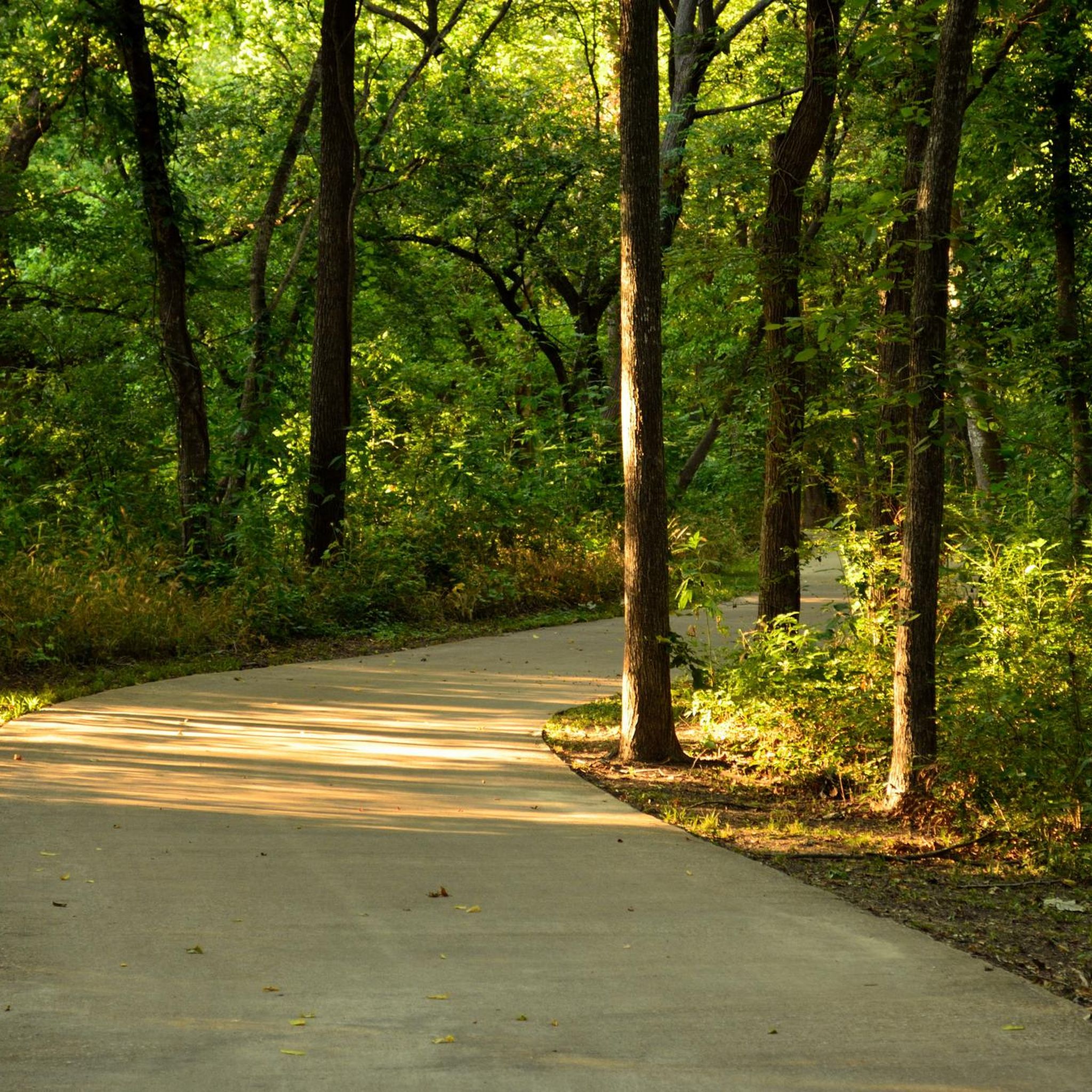
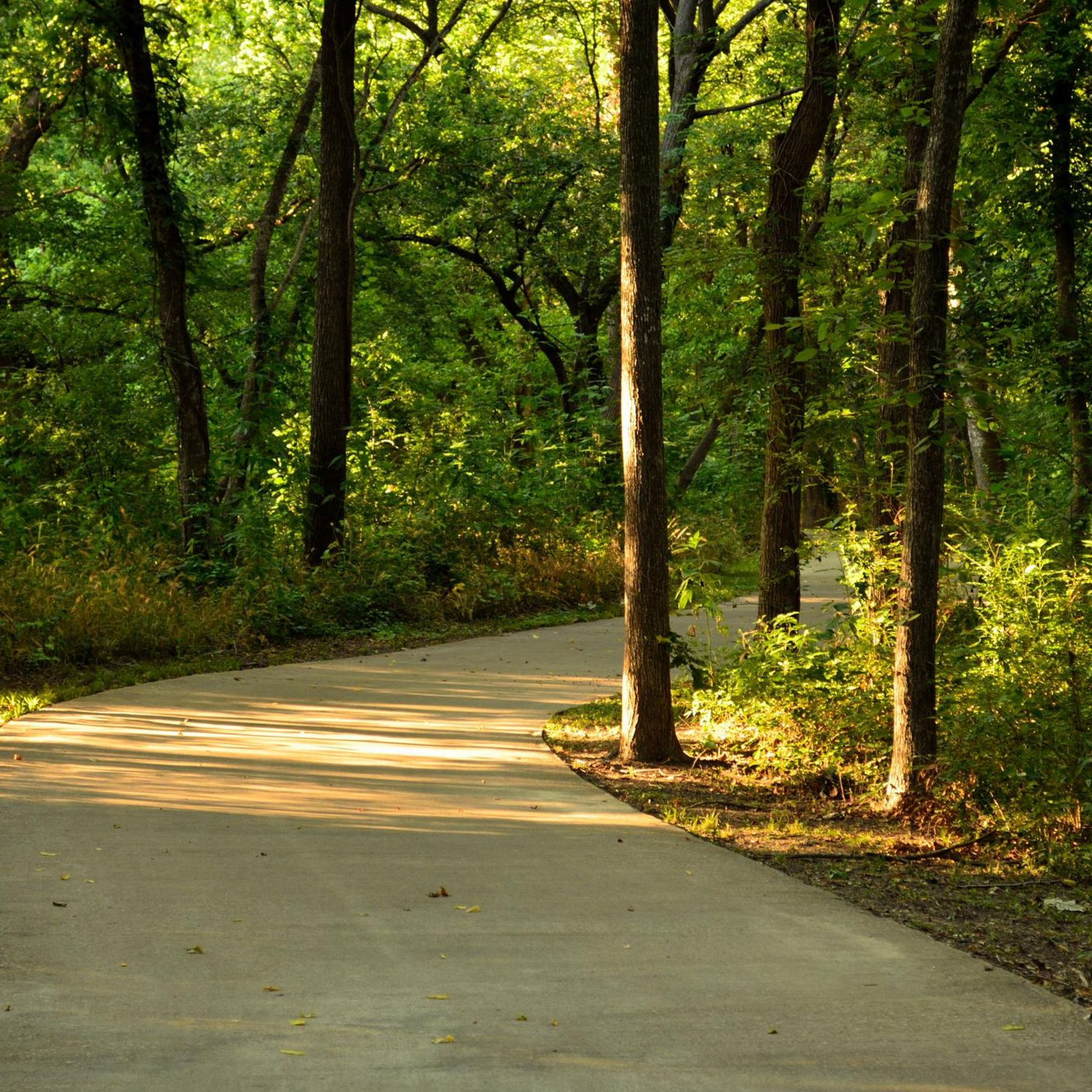
The park has many miles of trails, some paved and some offroad, that wind lazily through the woods, fields, and ponds of Breckinridge Park. There are restrooms near the main parking lots. Keep an eye out for wildlife!
0
0

Breckinridge Park is a 417-acre park in Richardson. There are several paved trails that run through the park and pass by the park's ponds.
0
0

The Spring Creek Nature Area covers over 100 acres of beautiful hardwood forest, thanks to a generous donation of 51 acres from the Margaret Hunt Hill family in 1991. Its history is rich, stretching back to the time of the Caddo Indians and early settlers like Jacob Routh. Routh, who arrived from Tennessee in 1849, set up shop between Dallas and McKinney, running a store and inn. Despite farming the surrounding land, he wisely left the forest untouched, preserving it as a haven for wildlife.
0
0
Frequently Asked Questions
How many road cycling routes are available in Garland?
There are over 70 road cycling routes in Garland, offering a variety of experiences. Approximately 40 of these are considered easy, 33 moderate, and a few are more difficult, catering to different skill levels.
Are there easy road cycling routes suitable for beginners or families in Garland?
Yes, Garland offers many easy road cycling routes. For a shorter, less challenging ride, consider the White Rock Lake Dam – White Rock Lake Spillway loop from Jupiter @ Lanewood - S - NS, which is about 17 miles long and rated easy. Many paved trails within preserves, like the Lee F. Jackson Spring Creek Forest Preserve, also offer gentle, accessible sections.
What kind of terrain can I expect on road cycling routes around Garland?
Garland's road cycling routes generally feature relatively flat terrain, characteristic of the Blackland Prairie eco-zone. You'll find routes traversing extensive green spaces, bottomland forests, and along creek systems. Some areas may have gentle rises, but significant climbs are uncommon.
Are there any scenic road cycling routes with viewpoints or natural attractions?
Many routes offer scenic views, especially those near natural preserves and lakes. The Spring Creek Nature Area – Oak Point Park Pond loop from Naaman Forest High School traverses areas near the Spring Creek Nature Area, known for its preserved natural environment. You can also find scenic spots around White Rock Lake and Bob Woodruff Park Pond.
What do other road cyclists enjoy most about road cycling in Garland?
The road cycling routes in Garland are highly rated by the komoot community, with an average score of 4.9 stars from over 120 reviews. Cyclists often praise the extensive green spaces, the well-maintained paved paths, and the variety of routes that connect urban areas with natural parklands, offering a peaceful escape.
Are there any long-distance road cycling routes in the Garland area?
Yes, for longer rides, the Plano to Towne Lake Park loop via Chisholm Trail is a popular choice, covering approximately 52 miles. Other routes extend towards areas like Lavon Lake and Southfork Ranch, offering opportunities for more extensive road cycling adventures.
Are there any loop road cycling trails in Garland?
Many of Garland's road cycling routes are designed as loops, providing a continuous ride back to your starting point. Examples include the Plano to Towne Lake Park loop via Chisholm Trail and the Cottonwood Creek south bridge – Oak Point Park Pond loop from Shiloh Road.
What are some notable natural features or landmarks I might see while road cycling in Garland?
While cycling, you might encounter the unique old-growth bottomland forest of the Spring Creek Forest Preserve, known for its ancient trees and diverse wildlife. Routes often pass by various lakes and ponds such as Oak Point Park Pond and Big Lake Park, offering pleasant natural backdrops.
Are there any road cycling routes that pass through or near the Spring Creek Nature Area?
Yes, the Spring Creek Nature Area – Oak Point Park Pond loop from Naaman Forest High School and the Spring Creek Nature Area – Spring Creek Nature Area loop from CityLine/Bush both traverse areas near the Spring Creek Nature Area, allowing you to experience its preserved natural environment.
Where can I find parking for road cycling trails in Garland?
Many parks and trailheads throughout Garland offer designated parking areas. For routes that start from specific locations like Naaman Forest High School or Shiloh Road, parking is typically available nearby. It's always a good idea to check the specific route details for recommended parking spots.
Are there any road cycling routes that connect to other major trails?
Some routes in Garland connect to or run alongside significant regional trails. For example, the Plano to Towne Lake Park loop via Chisholm Trail utilizes parts of the Chisholm Trail. The Santa Fe Bike Trail is also a notable cycling path in the wider area.
Most popular routes around Garland
Most popular attractions around Garland

Get inspired with the komoot mobile app


Explore more
Browse the best Road cycling routes in other regions.
