The best walks and hikes around Eußerthal
4.5
(880)
2,983
hikers
49
hikes
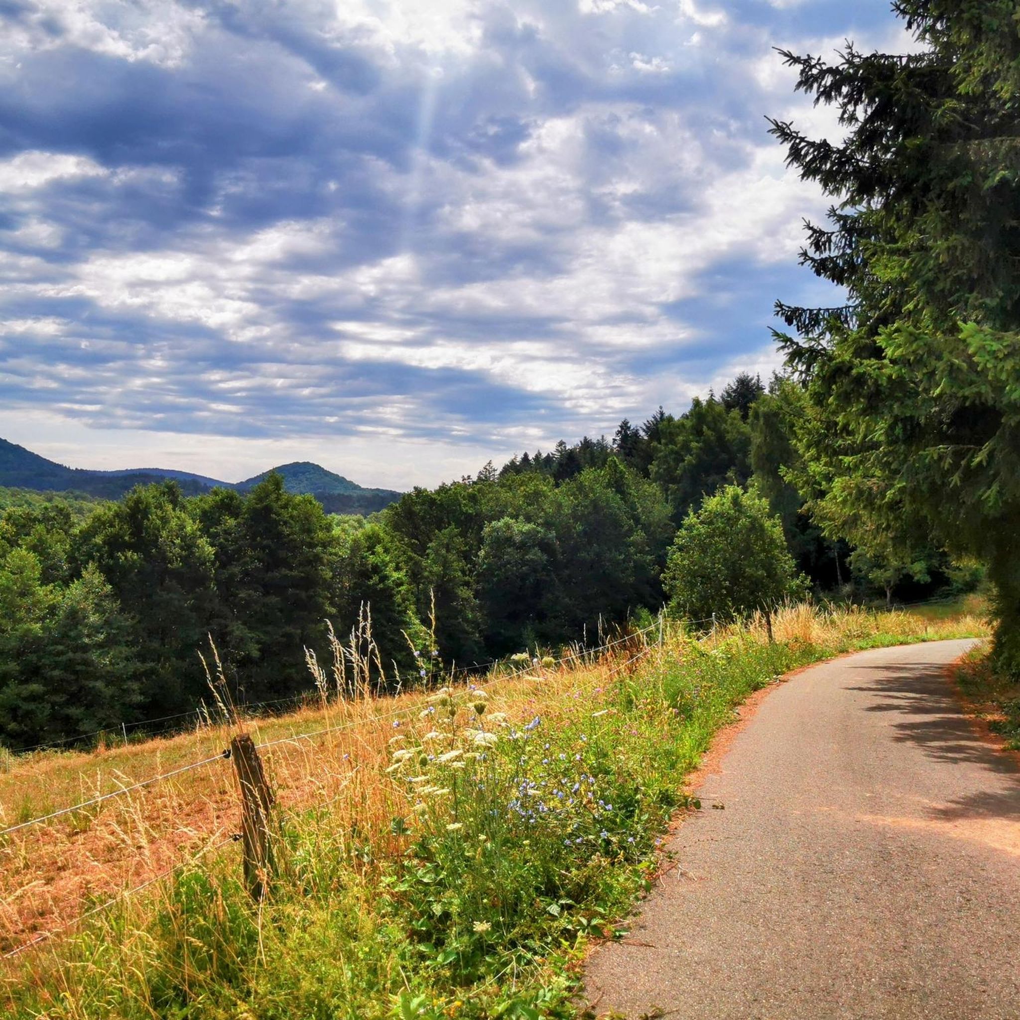
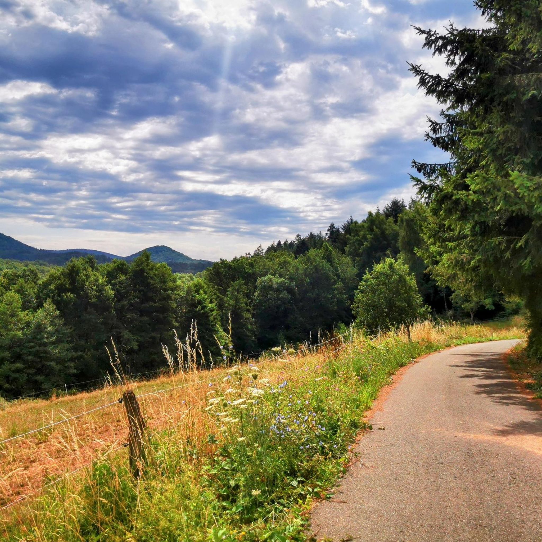
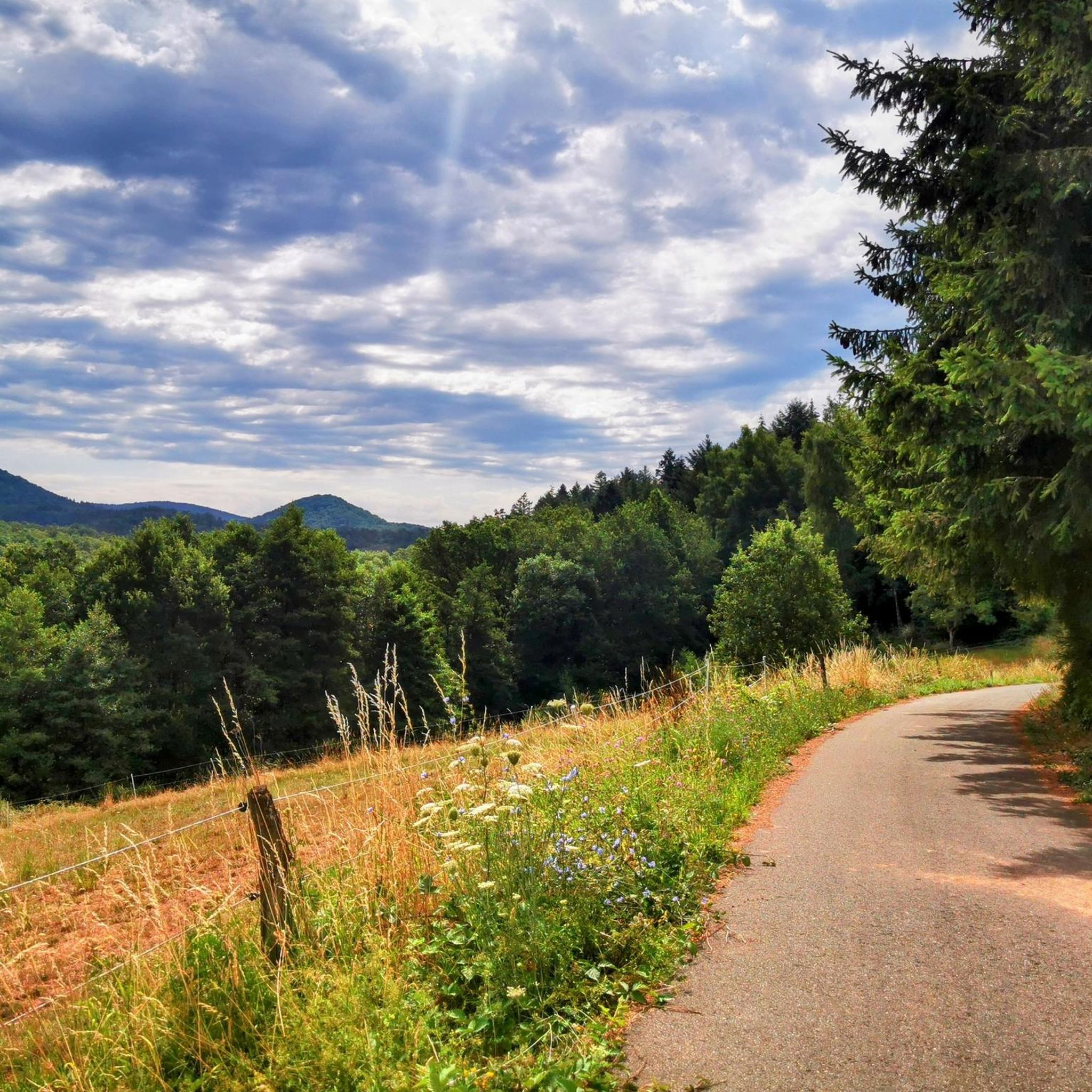
Hiking around Eußerthal, located in the Palatinate Forest, offers trails through dense woodlands and rolling hills. The region is characterized by its varied topography, including valleys carved by streams and numerous sandstone rock formations. These natural features provide diverse hiking experiences, from gentle paths along watercourses to more challenging ascents through forested slopes. The landscape is predominantly covered by mixed forests, typical of the German low mountain ranges.
Best hiking trails around Eußerthal
- The most popular hiking route is View…
Last updated: October 7, 2026
4.6
(193)
596
hikers
13.6km
03:59
360m
360m
Moderate hike. Good fitness required. Easily-accessible paths. Suitable for all skill levels.
4.6
(113)
386
hikers
12.4km
03:37
320m
320m
Moderate hike. Good fitness required. Easily-accessible paths. Suitable for all skill levels.

4.7
(45)
146
hikers
13.8km
04:24
570m
570m
Moderate hike. Good fitness required. Easily-accessible paths. Suitable for all skill levels.
4.5
(19)
73
hikers
8.82km
02:51
380m
380m
Moderate hike. Good fitness required. Easily-accessible paths. Suitable for all skill levels.
4.7
(12)
45
hikers
14.1km
04:21
490m
490m
Moderate hike. Good fitness required. Easily-accessible paths. Suitable for all skill levels.
Get access to more routes and recommendations from other explorers.
Already have an account?
Our route recommendations are based on thousands of hikes, rides, and runs completed by other people on komoot.
Start today with a free account
Your next adventure awaits.


Tips from the Community

The Pottachtal-Brunnen was built in 2003-2004 by members of the Pfälzerwald-Verein Böchingen. Stonemason and bricklaying work Edelbert Deny, helpers Elmar Walter and Niki Klein, locksmith work Heinz Glaser, benches Förster Siegmund.
1
0

wonderful hiking trail; nice and shady in summer
1
0
A lovely seating area at an idyllic crossroads (with a small meadow); somewhat dated; one of the few rest stops on this section of the "Wild Boar Trail"; according to the sign: "built and donated by the Gräfenhausen Pensioners' Group"
2
1


Coming from the Almersberg lookout point, you'll be a bit surprised when you turn the corner and suddenly find yourself heading toward this magnificent rock. Walking around the rock is definitely recommended. When the sun hits the rock, it creates beautiful colors.
0
0
The spring was tapped to supply drinking water to the hut. The overflow feeds a small fish pond under the well.
1
0

great view of the three castles
0
1
Frequently Asked Questions
How many hiking trails are available in Eußerthal?
Eußerthal offers a diverse network of 46 hiking trails. These include 17 easy routes, 23 moderate routes, and 6 more challenging options, ensuring there's something for every skill level.
Are there any easy or family-friendly hiking routes in Eußerthal?
Yes, Eußerthal has 17 easy hiking routes that are suitable for families and beginners. These trails typically feature gentler terrain and shorter distances. While specific family-friendly routes aren't highlighted in the data, the easy trails are generally a good starting point for those with children or less hiking experience.
What kind of natural features can I expect to see on hikes around Eußerthal?
The hiking trails in Eußerthal traverse dense woodlands, rolling hills, and valleys carved by streams. You'll encounter numerous distinctive sandstone rock formations, which are characteristic of the Palatinate Forest. The landscape is predominantly covered by mixed forests, offering varied scenery throughout your hike.
Are there any circular walks available in Eußerthal?
Many of the trails in Eußerthal are designed as circular walks, allowing you to start and end at the same point. For example, the Hiking loop from Eußerthal is a popular moderate option covering 13.8 km through varied forest terrain.
What are some notable viewpoints or landmarks along the trails?
Eußerthal's surroundings offer several impressive viewpoints and natural landmarks. You can find stunning vistas from the Orensfels Viewpoint or the Ludwig Tower. The Sommerfelsen Rock Arch – View of Gräfenhausen loop is another route that takes you past a unique rock formation and offers scenic views.
Are there any trails that feature water elements like springs or ponds?
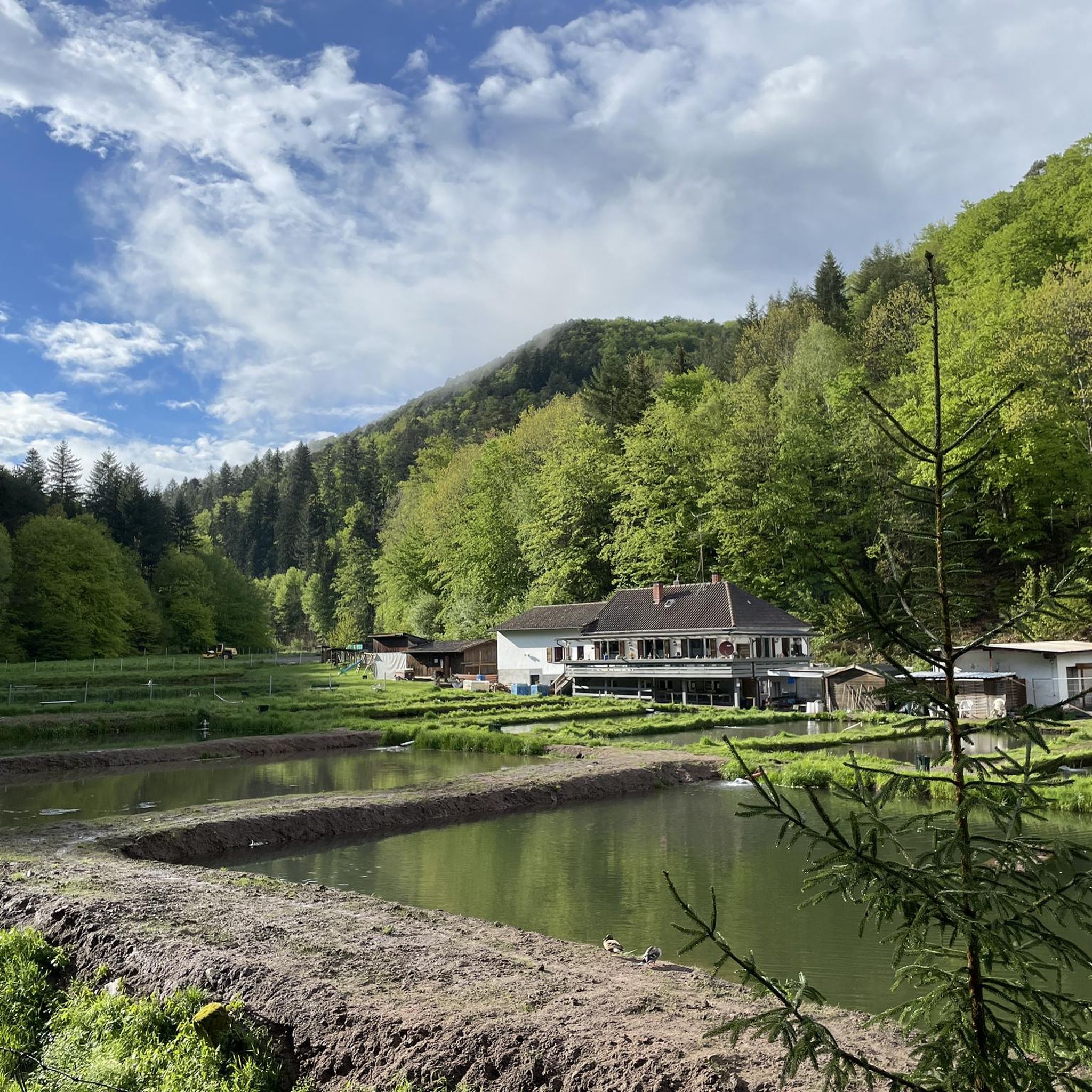
Yes, you can explore trails that incorporate water features. The Pottaschtal Spring – Trout ponds in Birkental loop from Ramberg is a moderate 12.4 km path that leads through natural springs and past picturesque trout ponds in the Birkental area.
What do other hikers say about the trails in Eußerthal?
The trails in Eußerthal are highly regarded by the komoot community, boasting an average rating of 4.4 out of 5 stars from over 600 reviews. Hikers frequently praise the well-maintained paths, the tranquil forest atmosphere, and the beautiful sandstone rock formations.
Is there parking available near the hiking trailheads in Eußerthal?
Yes, Eußerthal is generally well-equipped with parking options for hikers. Many trailheads, especially those starting directly from the village or nearby towns like Ramberg, offer designated parking areas. It's advisable to check specific route descriptions for detailed parking information.
Can I reach the hiking trails in Eußerthal using public transport?
While Eußerthal is primarily accessed by car, there are regional bus services that connect the village to larger towns in the Palatinate Forest. These services can provide access to some trailheads, though options might be limited. Planning your route in advance and checking local bus schedules is recommended if relying on public transport.
Are there any trails that offer views of the Eußerthal valley?
Absolutely. One of the most popular routes, the View of Eußertal – Böchinger Hut loop from Eußerthal, is specifically known for offering expansive views of the picturesque Eußerthal valley as it winds through the landscape.
What is the best time of year to go hiking in Eußerthal?
The Palatinate Forest, including Eußerthal, is beautiful year-round. Spring offers lush greenery and blooming wildflowers, while autumn transforms the forests into a vibrant display of colors. Summer provides warm weather for longer hikes, and even winter can be magical with snow-dusted landscapes, though some paths might be slippery. The moderate climate generally allows for hiking in all seasons.
Are there any challenging routes for experienced hikers?
Yes, for experienced hikers seeking more of a challenge, Eußerthal offers 6 difficult routes. These trails typically feature steeper ascents, longer distances, and potentially more rugged terrain, providing a rewarding experience for those looking to push their limits. An example of a longer, moderate route with significant elevation gain is the Rock Reef at Almersberg – View from Almersberg loop.
Most popular routes around Eußerthal
Most popular attractions around Eußerthal

Get inspired with the komoot mobile app


Explore more
Browse the best Hikes in other regions.
