The best road cycling routes around Burns
15
riders
6
rides
Road cycling routes around Burns feature a landscape characterized by rolling hills and state park environments, offering varied terrain for cyclists. The region includes areas like Montgomery Bell State Park, providing a mix of forested sections and open roads. Cyclists can expect routes that navigate through these natural settings, with elevation changes typical of a hilly landscape.
Best road cycling routes around Burns
- The most popular road cycling route is Montgomery Bell State Park loop from John Duke Lake Dam…
Last updated: October 11, 2026
3
riders
55.3km
02:53
530m
530m
Moderate road ride. Good fitness required. Mostly well-paved surfaces and easy to ride.
2
riders
50.5km
02:33
510m
510m
Moderate road ride. Good fitness required. Mostly well-paved surfaces and easy to ride.

2
riders
62.9km
03:26
500m
500m
Moderate road ride. Good fitness required. Mostly well-paved surfaces and easy to ride.
3
riders
99.5km
05:19
960m
960m
Hard road ride. Very good fitness required. Mostly well-paved surfaces and easy to ride.
1
riders
40.7km
01:57
340m
340m
Moderate road ride. Good fitness required. Mostly well-paved surfaces and easy to ride.
Our route recommendations are based on thousands of hikes, rides, and runs completed by other people on komoot.
Tips from the Community

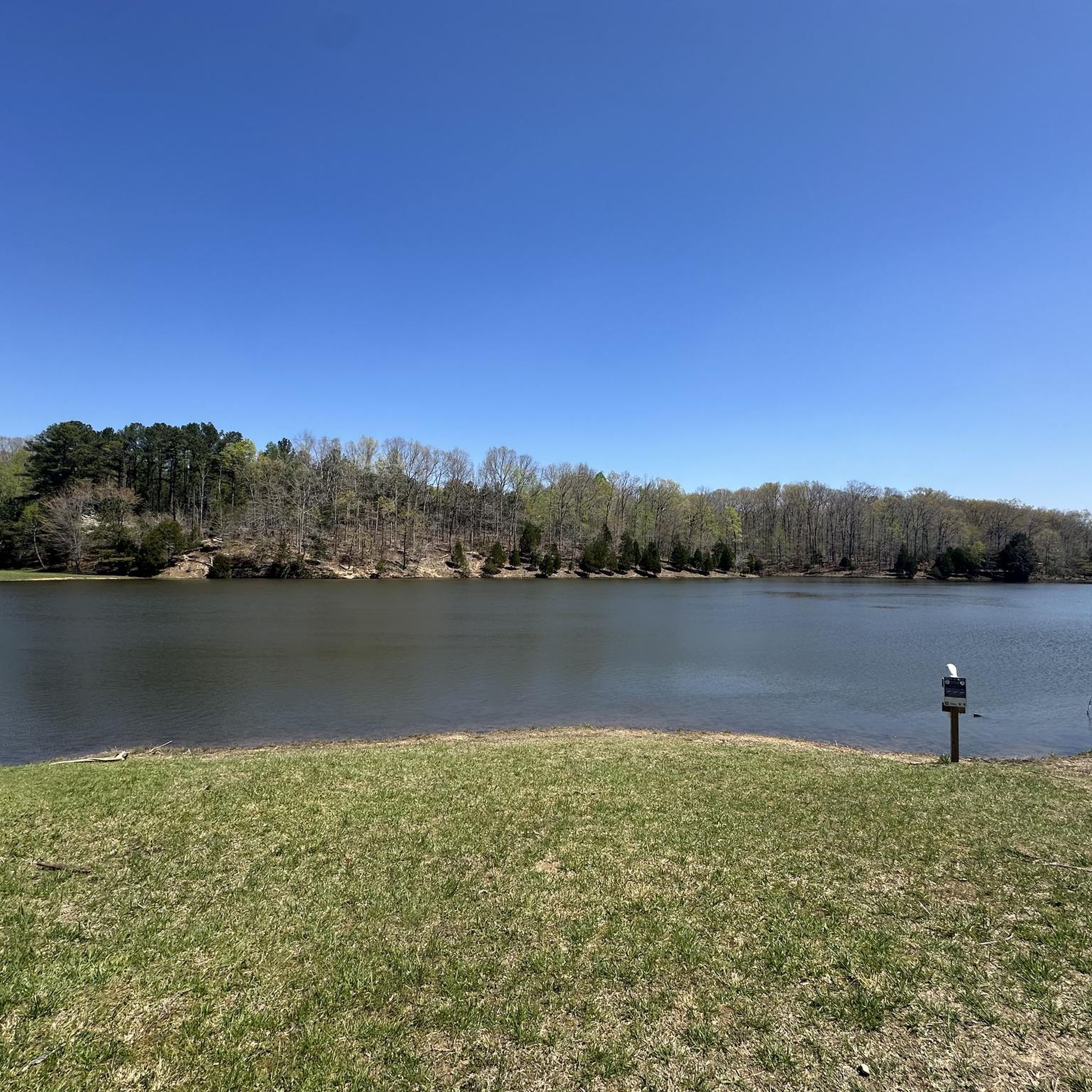
Montgomery Bell State Park features diverse landscapes with rolling hills, lush forests, and serene lakes.
0
0
Frequently Asked Questions
How many road cycling routes are available around Burns?
There are 6 road cycling routes around Burns listed in this guide, offering a variety of experiences for different skill levels. These routes navigate through rolling hills and state park environments, including Montgomery Bell State Park.
Are there any easy road cycling routes suitable for beginners or families in Burns?
Yes, there is one easy road cycling route around Burns. The Montgomery Bell State Park loop from Montgomery Bell State Park is 17.2 miles (27.7 km) long and takes about 1 hour 19 minutes to complete, making it a great option for a more relaxed ride.
What are the typical lengths and durations of road cycling routes near Burns?
Road cycling routes around Burns vary in length and duration. You can find shorter loops like the Montgomery Bell State Park loop from Montgomery Bell State Park at 17.2 miles (27.7 km) taking about 1 hour 19 minutes, up to more challenging rides such as the Brown Hill – Cedar Hill loop from Dickson, which is 63.2 miles (101.7 km) and can take over 5 hours.
Are there challenging road cycling routes for experienced riders in Burns?
Yes, for experienced riders seeking a challenge, the Brown Hill – Cedar Hill loop from Dickson is a difficult route spanning 63.2 miles (101.7 km) with significant elevation gain, offering extensive views across the landscape.
What kind of scenery can I expect on road cycling routes around Burns?
The routes around Burns feature diverse scenery, characterized by rolling hills, state park landscapes, and a mix of forested sections and open roads. You'll often find yourself cycling through natural environments like Montgomery Bell State Park.
Are there any notable attractions or points of interest along the road cycling routes?
Many routes pass through or near Montgomery Bell State Park, which offers natural beauty. Other nearby attractions include Wildcat Hallow Creek and Lake Woodhaven, providing scenic spots to explore.
What is the best time of year for road cycling in Burns?
Given the region's rolling hills and state park environments, spring and fall generally offer the most pleasant conditions for road cycling in Burns, with milder temperatures and beautiful foliage. Summer can also be enjoyable, though it may be warmer.
Are there any loop road cycling routes available in Burns?
All the road cycling routes highlighted in this guide are designed as loops, allowing you to start and finish at the same point. Examples include the Montgomery Bell State Park loop from John Duke Lake Dam and the Montgomery Bell State Park loop from Hendricks Church.
What do other road cyclists say about the routes in Burns?
The road cycling routes around Burns are popular among the komoot community, with over 16 road cyclists having explored the varied terrain. Riders often appreciate the mix of forested sections and open roads within the state park environments, as well as the options for different ability levels.
Is parking available at the trailheads for road cycling routes?
While specific parking details for each trailhead are not provided, routes often start from locations like Montgomery Bell State Park, which typically offers designated parking facilities for visitors.
Are permits required for road biking in the Burns area?
Generally, no special permits are required for road cycling on public roads or within state parks like Montgomery Bell State Park. However, it's always a good idea to check the official website of any specific park or area you plan to visit for the most current regulations.
Most popular routes around Burns
Most popular attractions around Burns

Get inspired with the komoot mobile app


Explore more
Browse the best Road cycling routes in other regions.
