The best walks and hikes around West Dennis
5.0
(5)
116
hikers
42
hikes
Hiking around West Dennis Massachusetts explores the coastal landscape of southern Cape Cod. The region features sandy beaches, salt marshes, and protected conservation areas with woodland paths. Most routes are relatively flat, following shorelines and trails through nature preserves like the Bell's Neck Conservation Lands. The landscape is characterized by a mix of coastal environments, woodlands, and freshwater features including kettle ponds and tidal rivers.
Best hiking trails around West Dennis
- The most popular hiking route is Bell's Neck Conservation…
Last updated: October 14, 2026
5.0
(1)
7
hikers
4.52km
01:10
20m
20m
Explore the West Reservoir on an easy hike that offers pleasant views of the water and surrounding natural areas. This route winds through the Bell's Neck Conservation Lands, providing a…
1
hikers
2.99km
00:47
20m
20m
Hike the easy 1.9-mile Flax Pond Loop in Flax Pond Conservation Land, offering scenic pond views and dog-friendly paths.

5.89km
01:34
60m
60m
Step onto the Bud Carter Loop and discover a surprisingly rugged landscape for Cape Cod. This easy 3.7-mile (5.9 km) hike, taking about 1 hour and 34 minutes, offers a…
4.02km
01:01
0m
0m
The Raymond J. Syrjala Conservation Area Trail offers a delightful, easy hiking experience through a surprisingly diverse landscape. You'll wander alongside Plashes Brook, pass through forested uplands with Pitch Pine…
2.22km
00:34
10m
10m
Hike the easy 1.4 miles (2.2 km) Sand Pond Woodlands Trail in Harwich, Massachusetts, featuring forest paths and views of Sand Pond.
Get access to more routes and recommendations from other explorers.
Already have an account?
Our route recommendations are based on thousands of hikes, rides, and runs completed by other people on komoot.
Start today with a free account
Your next adventure awaits.



Tips from the Community

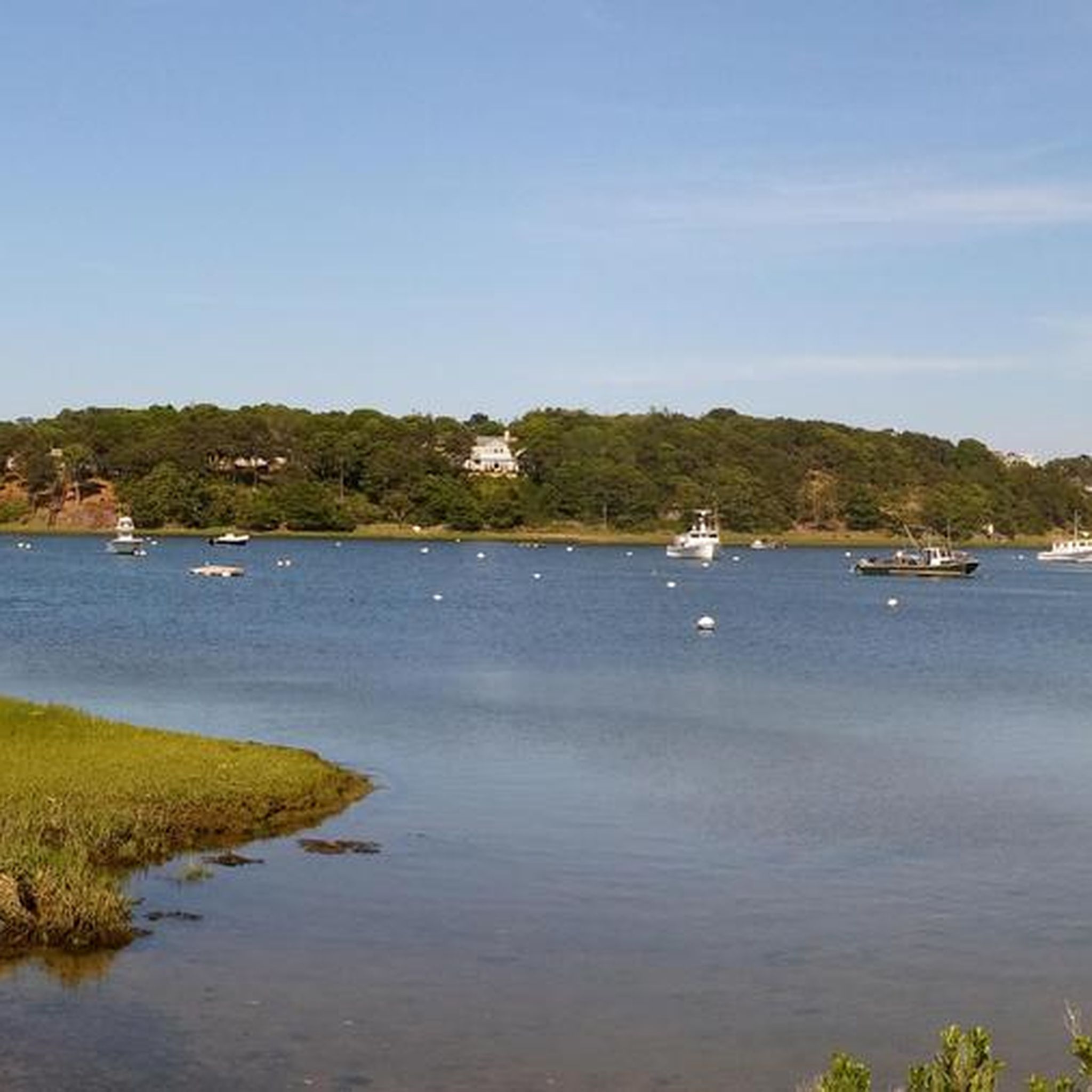
Bell's Neck Conservation Land in Harwich, is a hidden gem in the area for nature enthusiasts. This 251-acre sanctuary features winding trails through pristine wetlands, offering a glimpse into the Cape's natural beauty.
0
0

Let's face it - Cape Cod is largely suburbia by the sea but this is a true diamond in the rough of development in the mid cape.
0
0
Frequently Asked Questions
Are there many dog-friendly hiking trails in the West Dennis area?
Yes, the West Dennis area is quite welcoming to hikers with dogs. Many conservation areas, such as the popular Bell's Neck Conservation Lands loop from North Harwich, allow dogs. The Indian Lands Conservation Area is another local favorite for dog walkers, offering wooded paths and views of the Bass River. Always check local signage for specific leash regulations, which can vary by season.
What are some good options for easy, family-friendly walks?
The region is ideal for families, with mostly flat and accessible trails. The Thachers Beach loop from Yarmouth is a great choice, offering a short and easy coastal walk. Another option is Fresh Pond Conservation Land, which has a simple trail network around a pond and is also a popular spot for dogs to swim.
Where can I find coastal hikes with beach access?
Many trails in the area feature beautiful coastal scenery. For a hike that leads directly to the shore, consider Crowes Pasture Conservation Area in nearby East Dennis. It features a mile-long trail that opens up to the stunning Cape Cod Bay. The terrain can be sandy, so be prepared for a more strenuous walk at times, especially during high tide.
Are there any circular or loop trails near West Dennis?
Yes, loop trails are common in the area's conservation lands, allowing you to explore without retracing your steps. The Indian Lands Conservation Area offers a well-regarded 1.3-mile loop that is accessible year-round. It provides scenic views of the Bass River and its surrounding marshland.
What is the terrain like on the hiking trails around West Dennis?
Most trails are characterized by gentle, flat terrain. You'll encounter a mix of sandy paths along the coast, packed-earth trails through pine and oak woodlands, and some boardwalks over marshy areas. While the elevation change is minimal, some beach hikes, like the Great Island Trail, can be challenging due to stretches of deep, soft sand.
How can I access the Cape Cod Rail Trail from West Dennis?
The Cape Cod Rail Trail, a paved path running through several towns, is easily accessible near West Dennis. A new extension connects directly to the Indian Lands Conservation Area in South Dennis, making it simple to combine a woodland hike with a longer bike ride or walk along the trail.
What are the parking options for hiking trails in the area?
Most conservation areas, including Crowes Pasture and Indian Lands, have designated free parking areas at their trailheads. However, these lots can be small and may fill up quickly, especially on weekends. For beach trails, be aware that parking may require a fee or a town permit during the summer season.
Are there any trails known for scenic views or birdwatching?
Absolutely. The Fort Hill Trail in Eastham is highly praised for its sweeping views over Nauset Marsh, a prime spot for birdwatching. The trail itself is a gentle loop. The various salt marshes and tidal rivers, like the Bass River, also provide excellent opportunities to spot coastal birds and other wildlife.
What do other hikers enjoy most about the trails around West Dennis?
The trails around West Dennis are well-regarded by the komoot community. Hikers often praise the region's natural diversity, from the serene woodland paths in conservation areas to the expansive views along the coastline. The quiet, well-maintained trails and the abundance of wildlife are frequently mentioned as highlights.
How difficult are the hikes in West Dennis?
The vast majority of hikes in the area are rated as easy. With 21 out of 22 routes in our collection classified as easy, the region is perfect for casual walkers and families. The terrain is mostly flat, with the main challenge on some coastal routes being soft sand rather than elevation gain.
Are there any unique trails like boardwalks or swamp paths?
Yes, for a unique hiking experience, the White Cedar Swamp Trail in Wellfleet is a local favorite. It features a boardwalk that meanders through a beautiful and shaded cedar swamp, offering a cool respite on a warm day and a completely different environment from the typical coastal paths.
Most popular attractions around West Dennis

Get inspired with the komoot mobile app


Explore more
Browse the best Hikes in other regions.
