The best road cycling routes around West Chatham
4.3
(27)
611
riders
32
rides
Road cycling routes around West Chatham traverse a landscape characterized by coastal plains, numerous lakes, and rivers. The region offers a mix of routes that explore both natural water features and local town centers. Elevation gains are generally modest, making the area suitable for various cycling abilities.
Best road cycling routes around West Chatham
- The most popular road cycling route is Pleasant Lake (Hinckleys Pond) – Seymour Pond loop from Chatham, a 34.6 miles (55.7 km) trail that takes…
Last updated: July 2, 2026
4.5
(2)
30
riders
28.5km
01:06
110m
110m
Easy road ride. Great for any fitness level. Mostly well-paved surfaces and easy to ride.
5.0
(2)
19
riders
46.1km
01:52
230m
230m
Easy road ride. Great for any fitness level. Mostly well-paved surfaces and easy to ride.

Sign up for free
3.0
(1)
35
riders
Moderate road ride. Good fitness required. Some segments of this route may be unpaved and difficult to ride.
15
riders
14.4km
00:36
40m
40m
Easy road ride. Great for any fitness level. Mostly well-paved surfaces and easy to ride.
13
riders
31.2km
01:25
180m
180m
Easy road ride. Great for any fitness level. Mostly well-paved surfaces and easy to ride.
Get access to more routes and recommendations from other explorers.
Sign up for free
Already have an account?
Our route recommendations are based on thousands of hikes, rides, and runs completed by other people on komoot.
Start today with a free account
Your next adventure awaits.
Login or Signup


Tips from the Community

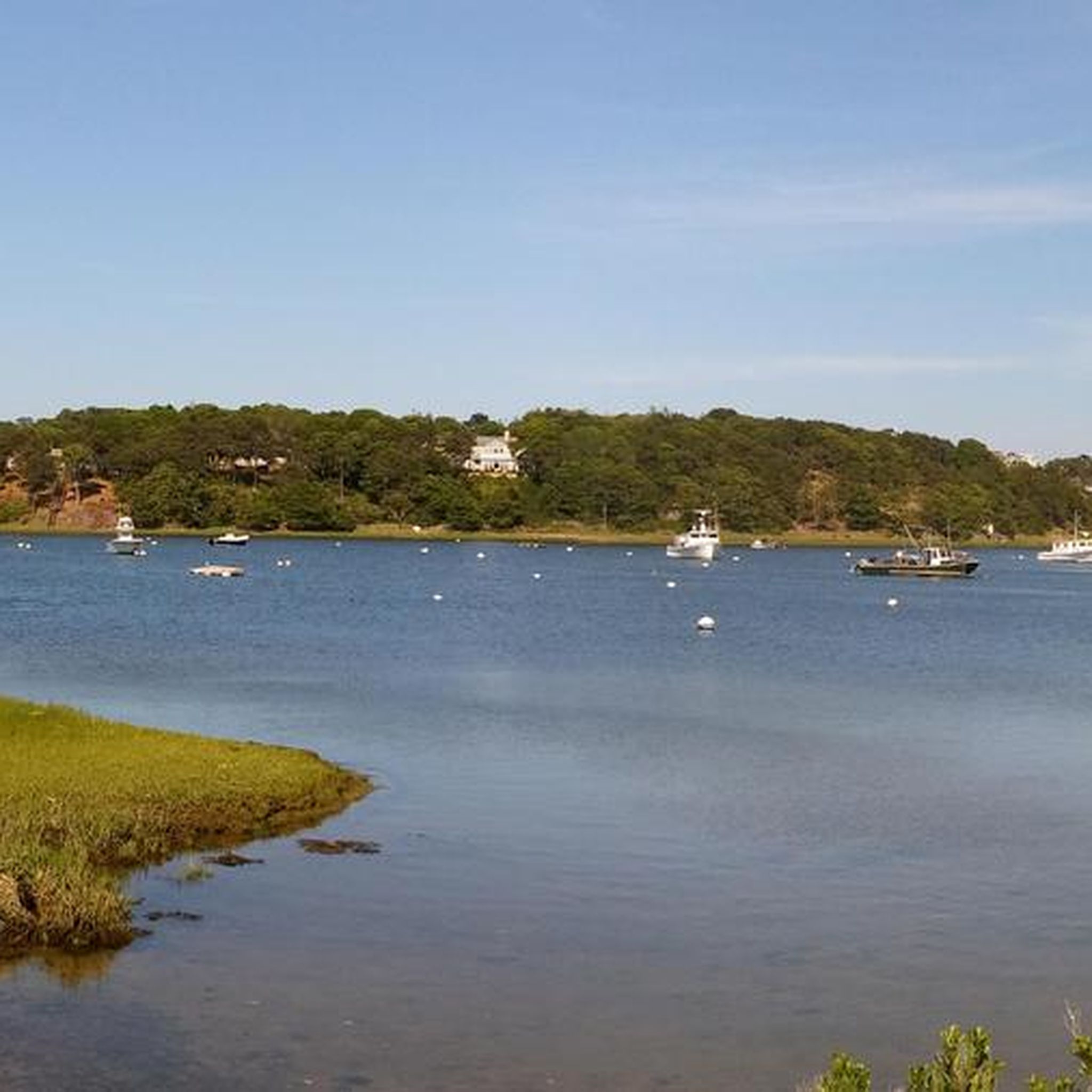
The short segment of the Cape Cod Rail Trail skirts Bells Neck Conservation Lands and overlooks the water. You can often see swans, geese, and other birds, as well as turtles and frogs from the bike trail.
0
0

Paved paths in the park connect to the Cape Cod Rail Trail and the trail into Chatham. Mid-way between Wellfleet and Dennis, great to ride away from traffic.
0
0

The Salt Pond Visitor Center is the year-round visitor center of the Cape Cod National Seashore. The center on State Highway 6 has a theater, the National Parks Store, a museum, restrooms and a spacious parking lot. https://www.nps.gov/caco/planyourvisit/visitorcenters.htm
1
0

The new Mitchell River Drawbridge was completed in 2016. The previous historic drawbridge was one of the wooden bridges that have spanned Mill Pond and its access to Stage Harbor and the bay to the sea for more than 150 years. The bridge is considered the last remaining wooden drawbridge in the United States and has been listed for inclusion in the National Register of Historic Places.
3
0
A wonderful beach. Quiet (even in summer), wide, very long.
0
0

Hinckleys Pond is also known as Pleasant Lake and is classified as a Great Pond due to its 172-acre size. It has a well-maintained beach with plenty of activities. The Cape Cod Rail Trail passes nearby, which is a super byway. This is a great place to take a break, especially as nearby you have Pleasant Lake Pizza Shark, a well-known local eatery.
1
0
The Chatham Light and Chatham Light Beach are on the "elbow" of Cape Cod and are an iconic part of the area. The lighthouse is still in operation by the U.S. Coast Guard station, where Search and Rescue, maritime law enforcement, and Homeland Security missions are carried out from here. From the road you can see both the lighthouse and the beach, where there are often seals (and occasionally sharks!) swimming in the water.
2
0
Frequently Asked Questions
How many road cycling routes are available in West Chatham?
West Chatham offers over 30 road cycling routes, catering to various skill levels from easy to difficult. The region's landscape is characterized by coastal plains, lakes, and rivers, providing diverse scenery for cyclists.
Are there easy road cycling routes suitable for beginners in West Chatham?
Yes, West Chatham has 18 easy road cycling routes. A great option for beginners is the Mitchell River Drawbridge – Downtown Chatham loop from Chatham, an easy 23.5-mile path offering views of the Mitchell River and downtown Chatham.
What is the typical elevation gain on road cycling routes in West Chatham?
Elevation gains in West Chatham are generally modest, making the area suitable for various cycling abilities. Most routes feature gentle inclines rather than steep climbs, with many routes having less than 200 meters of elevation gain.
Are there challenging road cycling routes for experienced cyclists?
Yes, for experienced cyclists seeking a challenge, there is at least one difficult route available. The Wellfleet Harbor – Wellfleet Center loop from Chatham is a demanding 74.9-mile trail leading through coastal areas and town centers, often completed in about 5 hours 12 minutes.
What kind of scenery can I expect on road cycling routes around West Chatham?
Road cycling around West Chatham is defined by coastal paths, lakes, and river views. Routes often traverse a landscape characterized by coastal plains, numerous lakes like Seymour Pond and Pleasant Lake (Hinckleys Pond), and local town centers.
What do other road cyclists say about the routes in West Chatham?
The routes in West Chatham are highly rated by the komoot community, with an average score of 4.2 stars from more than 20 reviews. Over 500 road cyclists have used komoot to explore the varied terrain, often praising the scenic coastal paths and tranquil lake views.
Are there any loop road cycling routes in West Chatham?
Many of the road cycling routes in West Chatham are loops. For example, the popular Pleasant Lake (Hinckleys Pond) – Seymour Pond loop from Chatham is a 34.6-mile circular trail passing by several local ponds and lakes.
What attractions can I see along the road cycling routes?
Along the routes, you can explore various natural and man-made attractions. Notable points of interest include Seymour Pond, Pleasant Lake (Hinckleys Pond), and the Mitchell River Drawbridge. Some routes also incorporate sections of the Cape Cod Rail Trail.
Are there any routes that explore both natural features and town centers?
Yes, many routes in West Chatham offer a mix of natural beauty and local charm. The Allen Harbor – Bass River Bridge loop from Harding Shores is an easy 28.2-mile route that combines coastal views with passages through local areas.
When is the best time of year for road biking in West Chatham?
The region's coastal climate generally offers pleasant conditions for road biking from spring through fall. While specific weather forecasts should always be checked, these seasons typically provide comfortable temperatures and less extreme weather for enjoying the routes.
Are there any routes that pass by the Chatham Airport?
Yes, the Chatham Airport – Samuel Hawes Park loop from East Harwich is a moderate 11.2-mile route that takes you past the Chatham Airport and towards Samuel Hawes Park.
Most popular routes around West Chatham
Most popular attractions around West Chatham

Get inspired with the komoot mobile app


Explore more
Browse the best Road cycling routes in other regions.
