The best road cycling routes around Forest Glen
4.7
(85)
3,727
riders
77
rides
Road cycling routes around Forest Glen primarily traverse the varied landscapes of the Maryland/DC metropolitan area, incorporating established multi-use trails and suburban roads. The region features a network of paved paths, including segments of the Sligo Creek Trail and Rock Creek Trail, which offer predominantly flat to gently rolling terrain. Elevation changes are present on some routes, particularly those extending into more undulating areas, providing options for different fitness levels. The landscape is characterized by urban green spaces, riparian corridors, and residential areas.
Best road cycling routes around Forest Glen
- The most popular road cycling route is Anacostia Riverwalk Trail – Rock Creek Trail loop from Wheaton, a 39.0 miles (62.8 km) trail that takes 2 hours 57 minutes to complete. This route connects two major multi-use trails, offering a diverse urban and natural cycling experience.
- Another top favourite among local road cyclists is College Park Airport – Sligo Creek Trail loop from Wheaton, an easy 29.4 miles (47.3 km) path. This route provides a scenic ride along the Sligo Creek, suitable for a relaxed outing.
- Local road cyclists also love the Park Valley Road Bridge – Carroll Avenue Bridge loop from Wheaton, a 12.2 miles (19.6 km) trail leading through suburban green spaces, often completed in about 47 minutes.
- Road cycling around Forest Glen is defined by multi-use paved trails, urban parklands, and suburban road networks. The network offers options for different ability levels, from easy, flat rides to moderate routes with some elevation gain.
- The routes in Forest Glen are highly rated by the komoot community with an average score of 4.8 stars from over 90 reviews. More than 3500 road cyclists have used komoot to explore Forest Glen's varied terrain.
Last updated: July 2, 2026
3.8
(4)
119
riders
62.8km
02:57
320m
320m
Moderate road ride. Good fitness required. Some segments of this route may be unpaved and difficult to ride.
52
riders
47.3km
01:53
190m
190m
This easy 29.4-mile (47.3 km) road cycling loop, with just 611 feet (186 metres) of elevation gain, takes about 1 hour and 52 minutes to complete, offering a delightful escape from Wheaton. You'll pedal through the serene, tree-lined corridors of the Sligo Creek Trail, where the asphalt path meanders alongside the creek, providing a cool, shaded ride even on warmer days. The route then opens up to the broader Anacostia Tributary Trail System, leading you past the unique spectacle of College Park Airport, where you might see aircraft activity, and potentially the tranquil waters of Lake Artemesia.
While the overall difficulty is easy, suitable for most riders, be mindful of occasional bumps from tree roots on the Sligo Creek Trail, which can be a bit jarring. Weekends can see higher traffic from other users, so staying alert is key, especially on narrower sections and at road crossings. The trail's extensive shade makes it a good option for sunny conditions, but always check local conditions before you head out. Parking is available at various points along the connected trail system, though specific details for a Wheaton start may require local inquiry.
This loop is a significant part of the 40-mile Anacostia Tributary Trail System (ATTS), connecting you to a vast network of trails in the Maryland suburbs of Washington, D.C. The proximity to the College Park Airport, the world's oldest continuously operating airport, adds a fascinating historical and visual element to your ride. It's a fantastic way to experience diverse natural and urban landscapes, making it one of the top rated cycling loops near Wheaton MD for a relaxed yet engaging outing.

Sign up for free
41
riders
91.2km
04:06
880m
880m
Moderate road ride. Good fitness required. Mostly well-paved surfaces and easy to ride.
42
riders
19.6km
00:48
120m
110m
The Park Valley Road Bridge – Carroll Avenue Bridge loop from Wheaton offers a delightful road cycling experience, winding through a mix of parkland and urban green spaces. You'll enjoy mostly flat, paved surfaces, making for a smooth and easy ride. The route provides glimpses of deciduous woods and open fields, especially as it connects to areas like Wheaton Regional Park, creating a pleasant atmosphere for a casual outing.
Planning your ride is straightforward, as this 12.2-mile (19.6 km) loop is known for its accessibility and easy navigation. With only 378 feet (115 metres) of elevation gain, it's a quick 47-minute spin that doesn't demand much preparation. The area is popular, so consider an early start if you prefer fewer fellow cyclists, though the trail network generally accommodates everyone.
This loop is a fantastic entry point into the extensive cycling network around Wheaton, Maryland. It seamlessly links to major multi-use paths like the 10.2-mile Sligo Creek Trail, which is celebrated for its flat terrain and ample shade. This interconnectedness allows for easy extensions, letting you explore more of Montgomery County's diverse landscapes and making it a highly rated option among local cyclists.
21
riders
20.6km
00:50
100m
100m
Easy road ride. Great for any fitness level. Mostly well-paved surfaces and easy to ride.
Get access to more routes and recommendations from other explorers.
Sign up for free
Already have an account?
Our route recommendations are based on thousands of hikes, rides, and runs completed by other people on komoot.
Start today with a free account
Your next adventure awaits.
Login or Signup




Tips from the Community

This riverside park protects 630 acres of varied natural resources. You'll find miles of trails to explore the park and can if you follow the Muddy Branch Greenway Trail eastward you can cross the canal and access the C&O Canal towpath.
0
0

This park has something for every kind of outdoor enthusiast, from athletic fields and ice skating to picnic tables and a nature center for the kids. With over 5 miles of trails, you'll have plenty of space to explore as well.
0
0

Old Seneca Schoolhouse is a small 1800s school building tucked near the trails in Seneca Creek. It’s a cool little stop if you’re riding or hiking nearby—feels like stepping back in time for a minute. Worth a quick look and photo.
0
0

Sligo Creek Trail is a 10.2-mile paved, multi-use path that meanders alongside Sligo Creek through Montgomery and Prince George’s counties in Maryland. Stretching from Wheaton Regional Park to the Northwest Branch Trail in Hyattsville, the trail offers a scenic and accessible route for walking, jogging, biking, and rollerblading. The trail is predominantly flat and shaded, making it suitable for users of all ages and abilities.
0
0
Sligo Creek Trail is a 10.2-mile paved, multi-use path that meanders alongside Sligo Creek through Montgomery and Prince George’s counties in Maryland. Stretching from Wheaton Regional Park to the Northwest Branch Trail in Hyattsville, the trail offers a scenic and accessible route for walking, jogging, biking, and rollerblading. The trail is predominantly flat and shaded, making it suitable for users of all ages and abilities.
1
0

The Sligo Creek Golf Course offers nine holes, a putting green, a driving range, a snack bar, and a pro shop and is open to the public. It's a nice place to stop, get a snack, drink, and take a break from riding in this beautiful setting.
0
0

The Sligo Creek Trail is a paved multi-use path with numerous parking and access points all through town. You can connect to a bunch of other bike paths including the Rachel Carson Greenway.
1
0
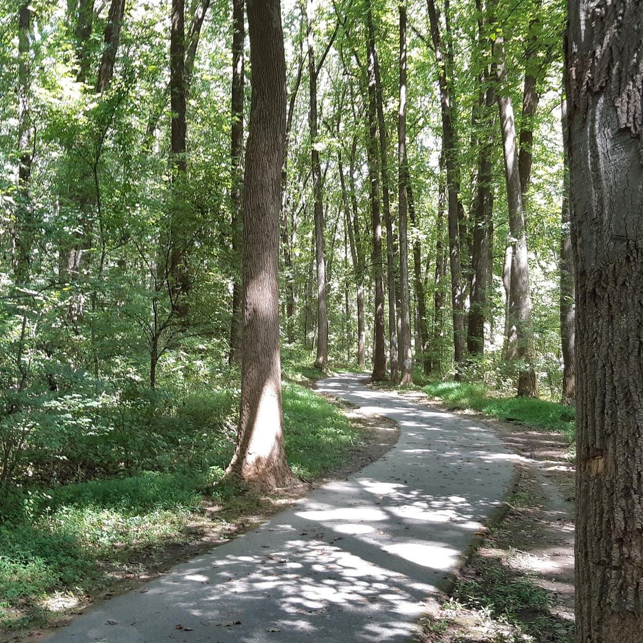
This is the type of beautiful, tree lined roads that cyclists dream about. The only drawback is the narrow/non-existent shoulder, traffic is usually pretty low but take care around hills and bends with low visibility.
0
0
Frequently Asked Questions
How many road cycling routes are available around Forest Glen?
There are over 90 road cycling routes available around Forest Glen, offering a wide range of options for different skill levels and preferences.
What are the general difficulty levels of road cycling routes in Forest Glen?
The routes around Forest Glen cater to various fitness levels. Approximately 40 routes are considered easy, 43 are moderate, and 7 are more challenging, providing options for everyone from beginners to experienced cyclists.
What do other road cyclists say about the routes in Forest Glen?
The road cycling routes in Forest Glen are highly regarded by the komoot community, with an average rating of 4.8 stars from over 90 reviews. Cyclists often praise the diverse urban and natural cycling experiences, as well as the well-maintained multi-use trails.
Are there any circular road cycling routes in Forest Glen?
Yes, many routes around Forest Glen are designed as loops. For example, the Anacostia Riverwalk Trail – Rock Creek Trail loop from Wheaton is a popular moderate 39-mile circular route, and the Park Valley Road Bridge – Carroll Avenue Bridge loop from Wheaton offers an easier 12-mile option.
What natural landmarks can I see along the road cycling routes in Forest Glen?
Many routes incorporate segments of Rock Creek Park, a significant natural monument. You might also encounter the historic Boulder Bridge and ride alongside Rock Creek itself, offering scenic views and a refreshing natural environment.
Are there any interesting places to explore near the road cycling routes?
Beyond natural beauty, you can explore cultural and historical sites. The routes often pass near Beach Drive in Rock Creek Park, which is a popular cycling spot, and the historic Peirce Mill, offering a glimpse into the area's past.
Are there family-friendly road cycling routes in Forest Glen?
Absolutely. Routes like the College Park Airport – Sligo Creek Trail loop from Wheaton are predominantly flat and paved, making them ideal for families. The Sligo Creek Trail, in particular, is known for being shaded and suitable for all ages and abilities.
What is the best time of year for road cycling in Forest Glen?
Spring and fall generally offer the most pleasant conditions for road cycling in Forest Glen, with mild temperatures and beautiful foliage. Summer can be warm and humid, while winter may bring colder temperatures and potential for ice on trails, though paved paths are often cleared quickly.
Are there any long-distance road cycling routes near Forest Glen?
Yes, for those seeking longer rides, routes like the Query Mill & Glen Road – Seneca Schoolhouse loop from Forest Glen cover over 56 miles (91 km) with significant elevation changes, providing a challenging and extended cycling experience.
Where can I find parking for road cycling routes in Forest Glen?
Many of the multi-use trails and parks in the Forest Glen area, such as those accessing the Sligo Creek Trail or Rock Creek Trail, offer designated parking areas. Specific parking information can often be found on individual route pages or local park websites.
Can I access road cycling routes in Forest Glen using public transport?
Given Forest Glen's location within the Maryland/DC metropolitan area, many routes are accessible via public transport, particularly those connecting to major trail networks. Check local transit authority websites for information on bus or metro stops near trailheads.
Are there cafes or places to stop for refreshments along the routes?
As many routes traverse suburban areas and urban green spaces, you'll find various cafes, shops, and refreshment stops in nearby towns and neighborhoods. Planning your route with komoot can help identify points of interest along the way.
Most popular attractions around Forest Glen

Get inspired with the komoot mobile app


Explore more
Browse the best Road cycling routes in other regions.
