The best walks and hikes around East Riverdale
4.4
(12)
314
hikers
47
hikes
Hiking trails around East Riverdale, Maryland, offer a diverse environment for outdoor activities. The region features a mostly flat terrain with minimal elevation changes, making it accessible for various skill levels. Key natural features include extensive riverside paths, tranquil woodland park trails, and lake loops, particularly within the Anacostia Tributary Trail System and Greenbelt Park. This landscape provides varied scenery and experiences for hikers.
Best hiking trails around East Riverdale
- The most popular hiking route is Perimeter Trail loop —…
Last updated: June 29, 2026
3
hikers
12.0km
03:03
30m
30m
Embark on a moderate hike along the Rhode Island Avenue Trolley Trail, a route that spans 7.5 miles (12.0 km) and features a gentle 98 feet (30 metres) of elevation…
13.4km
03:28
100m
10m
The Rachel Carson Greenway Trail offers a varied hiking experience through Montgomery County's natural landscapes, honoring the renowned environmentalist. You'll trek through peaceful wooded sections, past massive boulder outcroppings, and…

Sign up for free
8.24km
02:05
10m
20m
The Northeast Branch Trail offers a wonderfully smooth and scenic escape, following the gentle curves of the Northeast Branch of the Anacostia River. This paved path winds through open fields…
14
hikers
8.74km
02:18
80m
80m
Hike the 5.4-mile Perimeter Trail Loop in Greenbelt Park, a moderate route with 250 feet of elevation gain, taking about 2 hours and 18 minu
1
hikers
11.7km
02:59
40m
40m
The Anacostia Riverwalk Trail offers a unique blend of urban and natural scenery, making it a fantastic choice for a relaxed outing. You'll find yourself on mostly paved surfaces, winding…
Get access to more routes and recommendations from other explorers.
Sign up for free
Already have an account?
Our route recommendations are based on thousands of hikes, rides, and runs completed by other people on komoot.
Start today with a free account
Your next adventure awaits.
Login or Signup
Popular around East Riverdale

Tips from the Community

It’s really a skateboard track, but I was really tempted to test it with my bike
1
0

College Park Airport, founded in 1909 as the military demonstration area for the Wright Brothers, is the world's oldest continually operating airport. From here, there is only a fence and a few lights between you and the beginning of the runway to this small airport. If you are lucky, you will catch a plane flying over your head as you walk by.
0
0
Spanning from the scenic town of Bladensburg to the bustling Navy Yard, this outstanding paved multiuse trail offers an immersive 12-mile journey through a diverse natural landscape. The path winds alongside the river, lush forests, open fields, serene marshlands, and the dynamic river ecosystem, with captivating views. You will find plenty of opportunities to stop and take memorable photos anywhere along this route.
0
0
Nestled along the picturesque Anacostia River, this hidden gem offers a delightful blend of natural beauty, recreational activities, and fascinating history. There is a lovely riverside walking path, bike and boat rentals, a fishing pier, a historic B&O caboose, and interpretive signs from the War of 1812 and the Battle of Bladensburg. It's a beautiful spot to spend an afternoon or a nice place to take a break before continuing your journey along the beautiful Anacostia River Trail system.
0
0
The Bladensburg Park Pedestrian Bridge is a crucial link in the Anacostia Tributaries trail system. If you're traveling from DC's Anacostia River Trail, this bridge transitions you from the scenic east bank of the river to the bustling west bank. From here, the path goes under US Route 1, also known as Bladensburg Road, where the trails extend to connect seamlessly to the lively areas of College Park, Silver Spring, and numerous other destinations.
0
0
The Perimeter Trail is the longest route among the four trails in Greenbelt Park, encircling the entire park perimeter, offering a serene and picturesque hike. As you follow this trail, you'll come across the park's charming picnic areas at the northern end, where you can relax and enjoy the surroundings. On the southern end, you can stroll through the park's inviting campground and stop at the ranger station, which offers trail maps, information, a water station and restrooms.
0
0
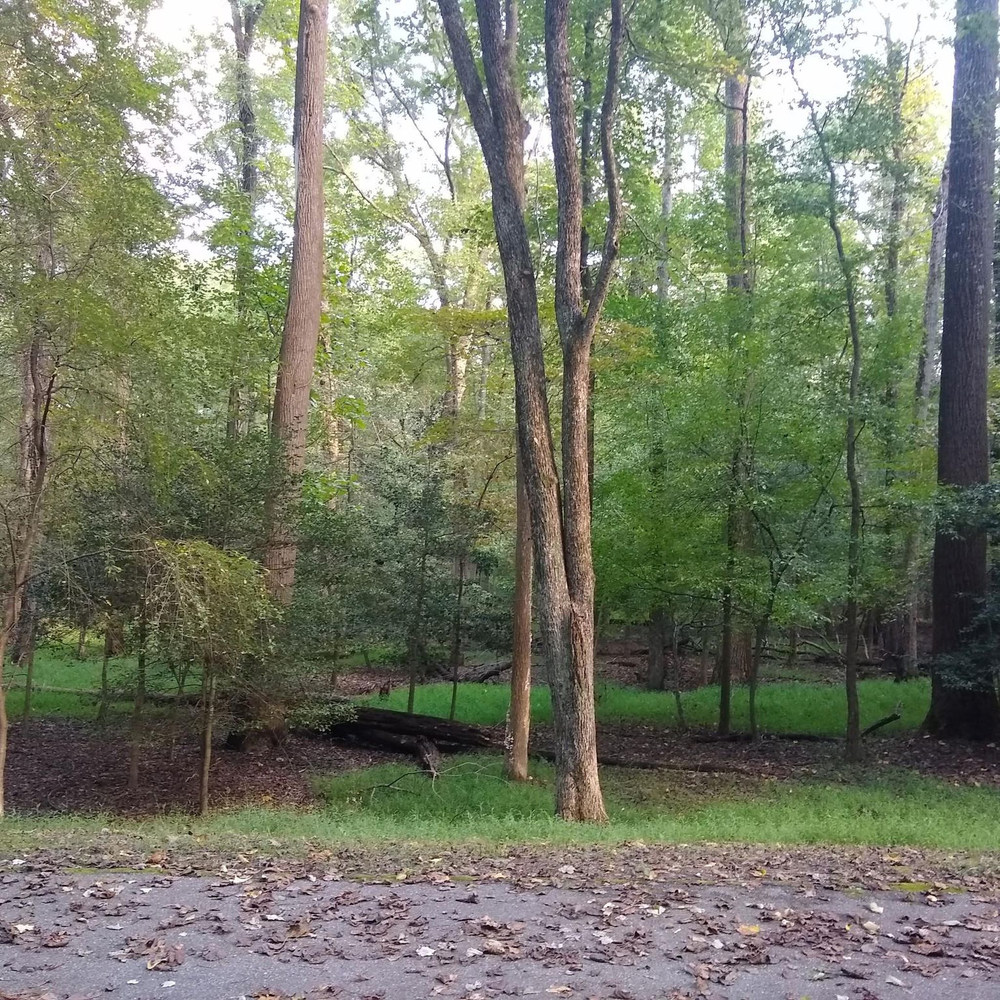
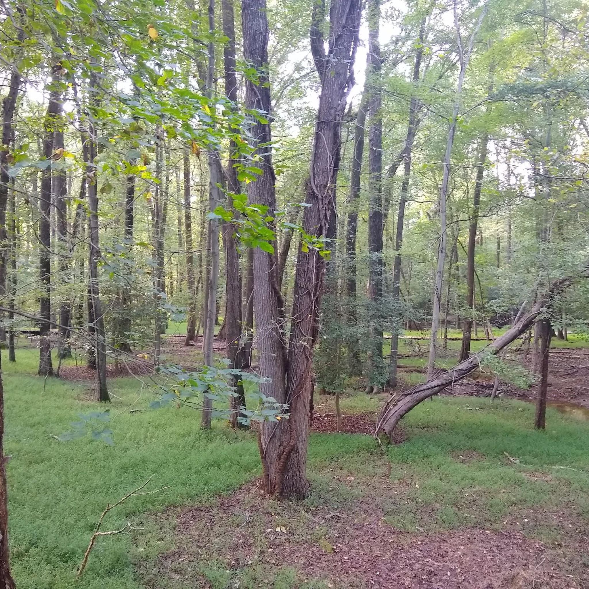
The Dogwood Trail is a 1.5-mile loop through the forest that ends right back on the Perimeter Trail. The beauty of the trees and the ample shade makes it a perfect side trail to extend your hike, especially on a hot day. There are nice benches along the way, ideal for a place to sit and enjoy the tranquility of the woods.
0
0

Managed by the National Park Service since 1950, Greenbelt Park is a forested park with paved, unpaved, and boardwalk trails running through it. The park boasts many amenities, including a 5.3-mile hiking trail, Park Central Road for bikers, an equestrian trail, shorter nature trails, numerous campsites, and three picnic areas.
0
0
Frequently Asked Questions
How many hiking trails are available in East Riverdale?
East Riverdale offers a wide selection of hiking opportunities, with over 40 routes recorded on komoot. These trails cater to various preferences, from leisurely strolls to more challenging excursions.
What is the typical terrain like for hiking in East Riverdale?
The hiking terrain in East Riverdale is generally characterized by mostly flat paths with minimal elevation changes. You'll find a mix of scenic riverside paths, tranquil woodland park trails, and pleasant lake loops, making it accessible for a broad range of hikers.
Are there hiking trails suitable for families with children?
Yes, East Riverdale has many family-friendly options. Out of the 40 available routes, 30 are classified as easy. A great example is the Azalea Trail loop — Greenbelt Park, which is a short and easy 1.3-mile (2.1 km) trail through woodland.
Are dogs allowed on the hiking trails in East Riverdale?
Many trails in East Riverdale, especially those within parks like Greenbelt Park and the Anacostia Tributary Trail System, are dog-friendly. It's generally recommended to keep dogs on a leash and to check specific park regulations before your visit.
Are there circular hiking routes in the area?
Yes, many of the hiking routes in East Riverdale are designed as loops, offering a convenient way to explore without retracing your steps. For instance, the Perimeter Trail loop — Greenbelt Park is a popular moderate 5.4-mile (8.7 km) circular route.
What natural features or landmarks can I see while hiking in East Riverdale?
The region is rich in natural beauty, featuring extensive riverside paths along the Anacostia Tributary Trail System, tranquil woodland parks, and lake loops. While hiking, you might encounter diverse flora and fauna. Nearby attractions include the Capitol Reflecting Pool and the U.S. Capitol, offering a blend of nature and historical sights.
Is parking available at the trailheads in East Riverdale?
Yes, most major trailheads and park entrances in and around East Riverdale, particularly for systems like the Anacostia Tributary Trail System and Greenbelt Park, offer designated parking areas for hikers. It's advisable to check specific park websites for detailed parking information.
Can I reach hiking trails in East Riverdale using public transport?
East Riverdale is part of a well-connected region. While direct access to every trailhead via public transport might vary, many areas within the Anacostia Tributary Trail System and Greenbelt Park are accessible via local bus routes or are a short ride from Metro stations. Planning your route in advance using public transport apps is recommended.
When is the best time of year to hike in East Riverdale?
Hiking in East Riverdale is enjoyable throughout much of the year. Spring and fall offer pleasant temperatures and beautiful scenery, with blooming flowers or vibrant autumn foliage. Summer can be warm and humid, but shaded woodland trails provide relief. Winter hiking is also possible, especially on the mostly flat trails, though conditions can vary.
What do other hikers enjoy most about hiking in East Riverdale?
The hiking routes in East Riverdale are highly rated by the komoot community, with an average score of 4.6 stars. Reviewers often praise the diverse and accessible terrain, the well-maintained paths, and the peaceful riverside and woodland environments that offer a refreshing escape close to urban areas.
Are there any easy, shorter hikes for a quick outing?
Absolutely. For a quick and easy outing, consider the Indian Creek Trail – Lake Artemesia loop from Berwyn. This 2.9-mile (4.7 km) path takes you through parkland and is an excellent choice for a shorter, relaxed walk.
What kind of wildlife can I expect to see on the trails?
The diverse environments of East Riverdale's trails, including woodlands and riverside areas, support various wildlife. You might spot common birds, squirrels, rabbits, and occasionally deer. The Anacostia River and its tributaries are also home to various fish and waterfowl, offering opportunities for birdwatching.
Most popular routes around East Riverdale
Most popular attractions around East Riverdale

Get inspired with the komoot mobile app


Explore more
Browse the best Hikes in other regions.
