The best running trails around Forêt de Rothonne
4.5
(78)
1,672
runners
126
runs
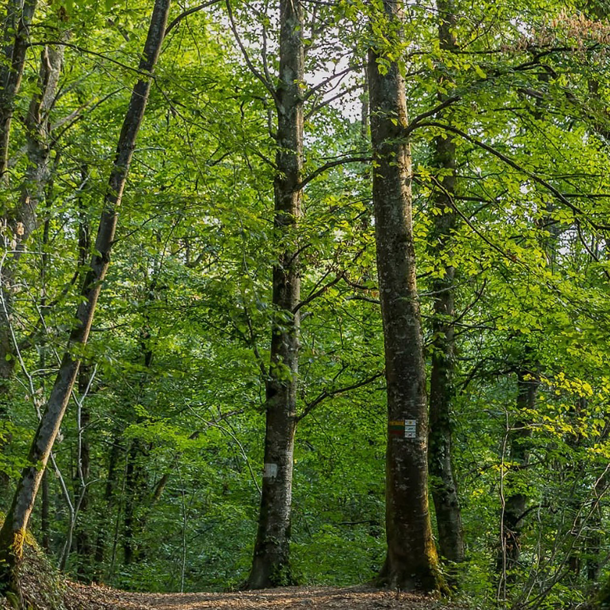
Jogging around Forêt de Rothonne offers a diverse natural environment with well-maintained trails suitable for various fitness levels. This extensive forest, covering 380 hectares, features a mix of deciduous and coniferous trees, providing shaded running paths. The terrain generally presents gentle elevation changes, with longer trails reaching a maximum altitude of 395 meters and uphill gradients around 200 meters. From higher points, runners can enjoy viewpoints of the Dent du Chat and the Montagne de Parves.
Best jogging routes around…
Last updated: July 1, 2026
4.3
(3)
6
runners
10.2km
01:15
180m
180m
Moderate run. Good fitness required. Mostly accessible paths. Some sure footedness required.
39
runners
14.1km
01:29
70m
70m
Moderate run. Good fitness required. Mostly paved surfaces. Suitable for all skill levels.

Sign up for free
18
runners
22.4km
02:22
100m
100m
Hard run. Very good fitness required. Mostly paved surfaces. Suitable for all skill levels.
8
runners
11.9km
01:20
130m
130m
Moderate run. Good fitness required. Mostly paved surfaces. Suitable for all skill levels.
7
runners
9.96km
01:03
40m
40m
Moderate run. Good fitness required. Mostly paved surfaces. Suitable for all skill levels.
Get access to more routes and recommendations from other explorers.
Sign up for free
Already have an account?
Our route recommendations are based on thousands of hikes, rides, and runs completed by other people on komoot.
Start today with a free account
Your next adventure awaits.
Login or Signup
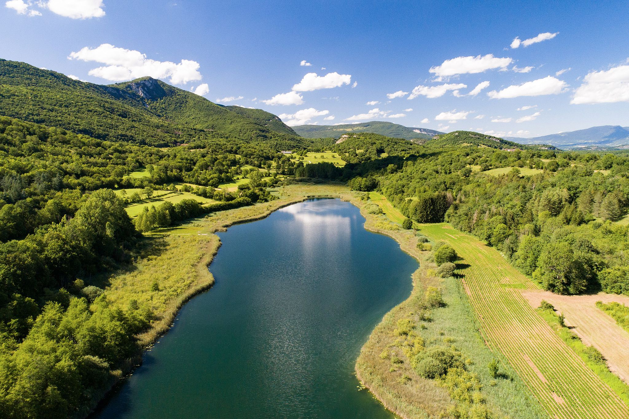
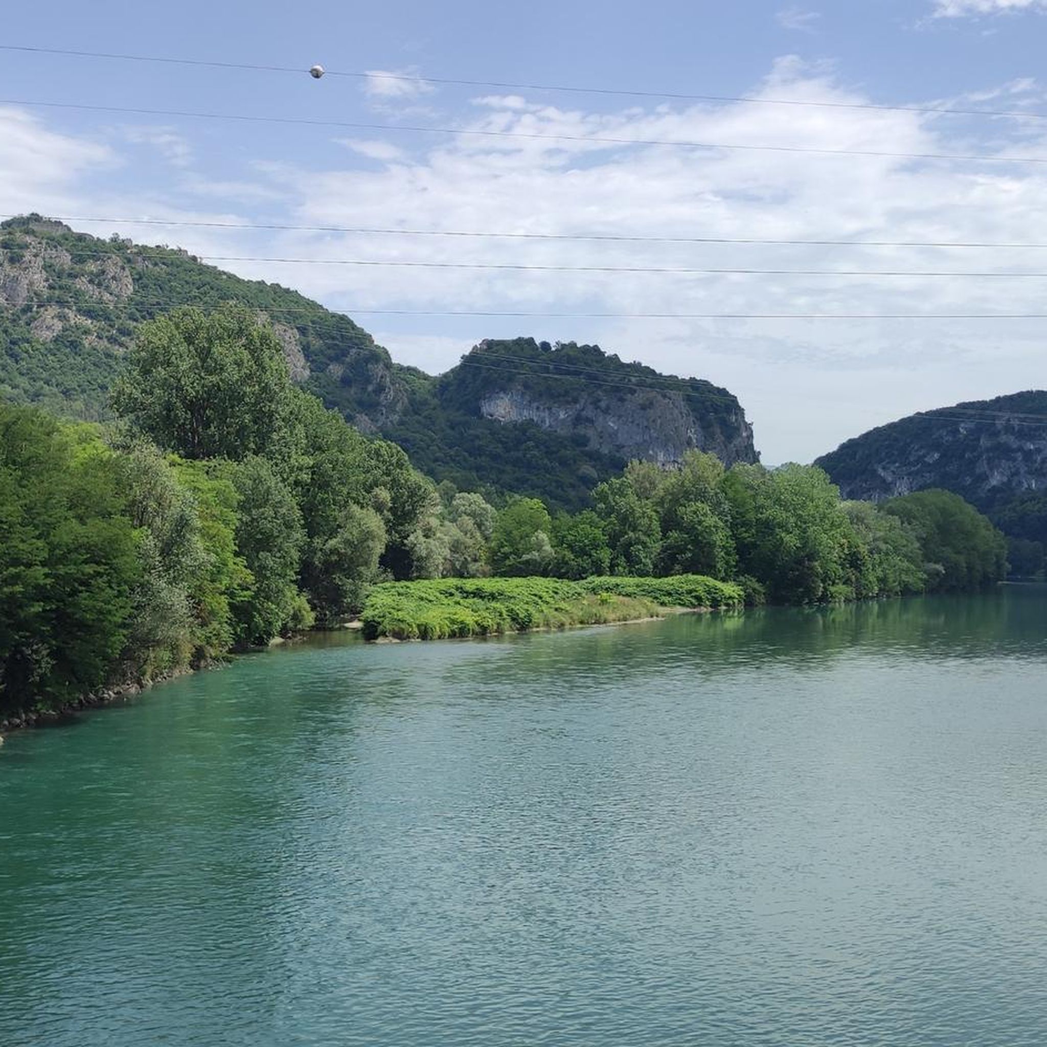
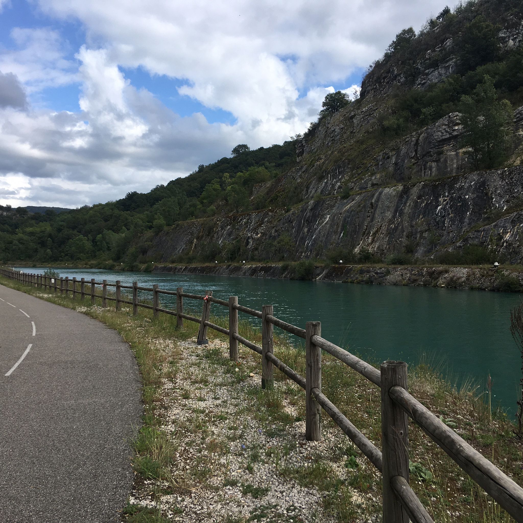
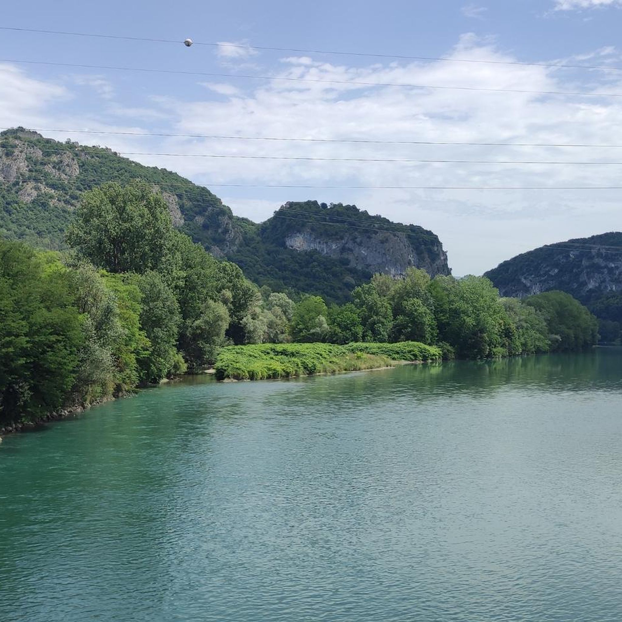

Other adventures around Forêt de Rothonne

Tips from the Community

Very nice cyclist bridge over the Rhône. It could become slippery in icy and wet conditions.
0
0
If camping were possible, it would be a great idea on the bike path.
0
0
Very beautiful section of the ViaRhôna along the Rhône Lateral Canal.
1
0

Public toilets are located behind the lodges in the parking lot for cars and campers. We find far fewer public toilets on the Via Rhona than on the Atlantic coast (Normandy, Brittany, Velodyssee).
0
0

This small but perfectly formed lake will add interest to any course.
2
0
This lake is small but perfectly formed. It adds interest to this walk.
3
0

A beautiful footbridge to avoid the departmental road
1
0

In the Natura 2000 zone, this metal footbridge between the departments of Ain and Savoie is 170 meters long and offers superb views of the Rhône.
3
0
Frequently Asked Questions
How many running routes are available in Forêt de Rothonne?
Forêt de Rothonne offers a wide variety of running routes, with over 100 different trails available for you to explore. These range from easy jogs to more challenging runs, catering to all fitness levels.
What kind of terrain can I expect on the running trails in Forêt de Rothonne?
The terrain in Forêt de Rothonne generally features gentle elevation changes, making it suitable for various fitness levels. You'll find predominantly shaded paths through a mix of deciduous and coniferous trees, providing a calm and peaceful environment. Longer trails may reach a maximum altitude of 395 meters with uphill gradients of around 200-204 meters.
Are there easy running routes for beginners or casual joggers?
Yes, Forêt de Rothonne is ideal for easy jogging. The forest offers several well-marked loops, such as the 3 km "Squirrel" route and the 5 km "Fox" route. Some paths are even designed for accessibility with improved slopes and widths, perfect for a relaxed run. An example of an easy route is the Running loop from La Poisate, which is about 4.9 km.
Are there more challenging running options for experienced runners?
Absolutely. For experienced runners looking for a greater challenge, there are longer trails and options with more significant elevation. For instance, the 8.5 km "Roe Deer" route or a 9.1 km trail running option are available. Routes like The ViaRhôna Lodges loop from Brens, at 16.7 km, offer a longer distance, while Forêt de Rothonne loop from Brens includes more significant elevation changes.
What do other runners say about the trails in Forêt de Rothonne?
The running routes in Forêt de Rothonne are highly rated by the komoot community, with an average score of 4.6 stars from over 60 reviews. Runners often praise the quiet woodlands, well-maintained paths, and the refreshing escape into nature that the forest provides.
Are there any scenic viewpoints along the running paths?
Yes, from higher points within the Forêt de Rothonne, particularly along the "Sentier du Chevreuil," you can enjoy beautiful panoramic views of the Dent du Chat and the Montagne de Parves, offering a rewarding experience during your run.
What natural features or attractions can I discover while running?
Beyond the peaceful woodlands, the forest incorporates an arboretum, sound sculptures, and interpretive panels detailing local birds and trees, offering an educational aspect to your run. There's also a puzzle trail or "nature challenge" designed for children, making it an engaging environment.
Are the running trails suitable for families with children?
Yes, Forêt de Rothonne is very family-friendly. The easier loops and accessible paths are great for children. The presence of a puzzle trail and educational elements like the arboretum and sound sculptures can make a family run or walk an engaging adventure.
Can I bring my dog on the running trails?
While the region research doesn't explicitly state dog-friendly policies, generally, forests in France allow dogs on trails, often requiring them to be on a leash. It's always a good idea to check local signage upon arrival for any specific regulations regarding pets in Forêt de Rothonne.
Is there parking available near the running trails?
Yes, the Forêt de Rothonne is equipped with facilities for visitors, which typically include designated parking areas near the trailheads to ensure easy access to the running routes.
Are there circular running routes in the forest?
Yes, the Forêt de Rothonne is known for its circular routes. You can choose from several loops, including the 3 km "Squirrel" route, the 5 km "Fox" route, and the 8.5 km "Roe Deer" route, all designed for a complete running experience. An example of a moderate circular route is Lac d'Armaille – loop – running.
Are there facilities like picnic areas or water fountains in Forêt de Rothonne?
Yes, for your convenience, the forest is equipped with picnic tables, some of which are accessible to wheelchairs. There's also a dedicated picnic area with a barbecue and a water fountain, perfect for a break before or after your run.
Most popular routes around Forêt de Rothonne

Get inspired with the komoot mobile app


Explore more
Browse the best Running Trails & Routes in other regions.
