The best road cycling routes around Avondale Forest Park
4.8
(8)
618
riders
45
rides
Road cycling around Avondale Forest Park offers a diverse landscape for riders. The area is characterized by dense woodlands, river valleys, and rolling hills, providing varied terrain for road cyclists. Routes often traverse scenic rural roads and can include significant elevation changes, particularly towards the Wicklow Mountains. This region provides a mix of challenging climbs and more gentle stretches through picturesque countryside.
Best road cycling routes around Avondale Forest Park
- The most popular road cycling route is Killakee Viewpoint – Sally Gap loop from Rathdrum, a 60.3 miles (97.0 km) trail that takes 4 hours 41 minutes to complete. This route features challenging climbs and expansive views across the landscape.
- Another top favourite among local road cyclists is Greystones Beach – Glendalough Grocery loop from Rathdrum, a moderate 49.7 miles (80.1 km) path. This route offers a mix of coastal scenery and inland forest roads.
- Local road cyclists also love the Glenmalure Inn – Rathdrum loop from Rathdrum, a 20.6 miles (33.2 km) trail leading through the Glenmalure Valley, often completed in about 1 hour 50 minutes.
- Road cycling around Avondale Forest Park is defined by its woodlands, river valleys, and challenging climbs. The network offers options for easy, moderate, and difficult routes, catering to different ability levels.
- The routes in Avondale Forest Park are highly rated by the komoot community with an average score of 4.8 stars from 8 reviews. More than 600 road cyclists have used komoot to explore Avondale Forest Park's varied terrain.
Last updated: July 8, 2026
4.0
(1)
260
riders
97.2km
04:42
1,340m
1,340m
Hard road ride. Very good fitness required. Mostly well-paved surfaces and easy to ride.
5.0
(1)
86
riders
80.0km
03:39
860m
860m
Moderate road ride. Good fitness required. Mostly well-paved surfaces and easy to ride.

Sign up for free
71
riders
33.2km
01:50
540m
540m
Moderate road ride. Good fitness required. Some segments of this route may be unpaved and difficult to ride.
11
riders
112km
05:09
1,230m
1,230m
Hard road ride. Very good fitness required. Mostly well-paved surfaces and easy to ride.
11
riders
36.9km
01:40
330m
330m
Moderate road ride. Good fitness required. Mostly well-paved surfaces and easy to ride.
Get access to more routes and recommendations from other explorers.
Sign up for free
Already have an account?
Our route recommendations are based on thousands of hikes, rides, and runs completed by other people on komoot.
Start today with a free account
Your next adventure awaits.
Login or Signup
Popular around Avondale Forest Park
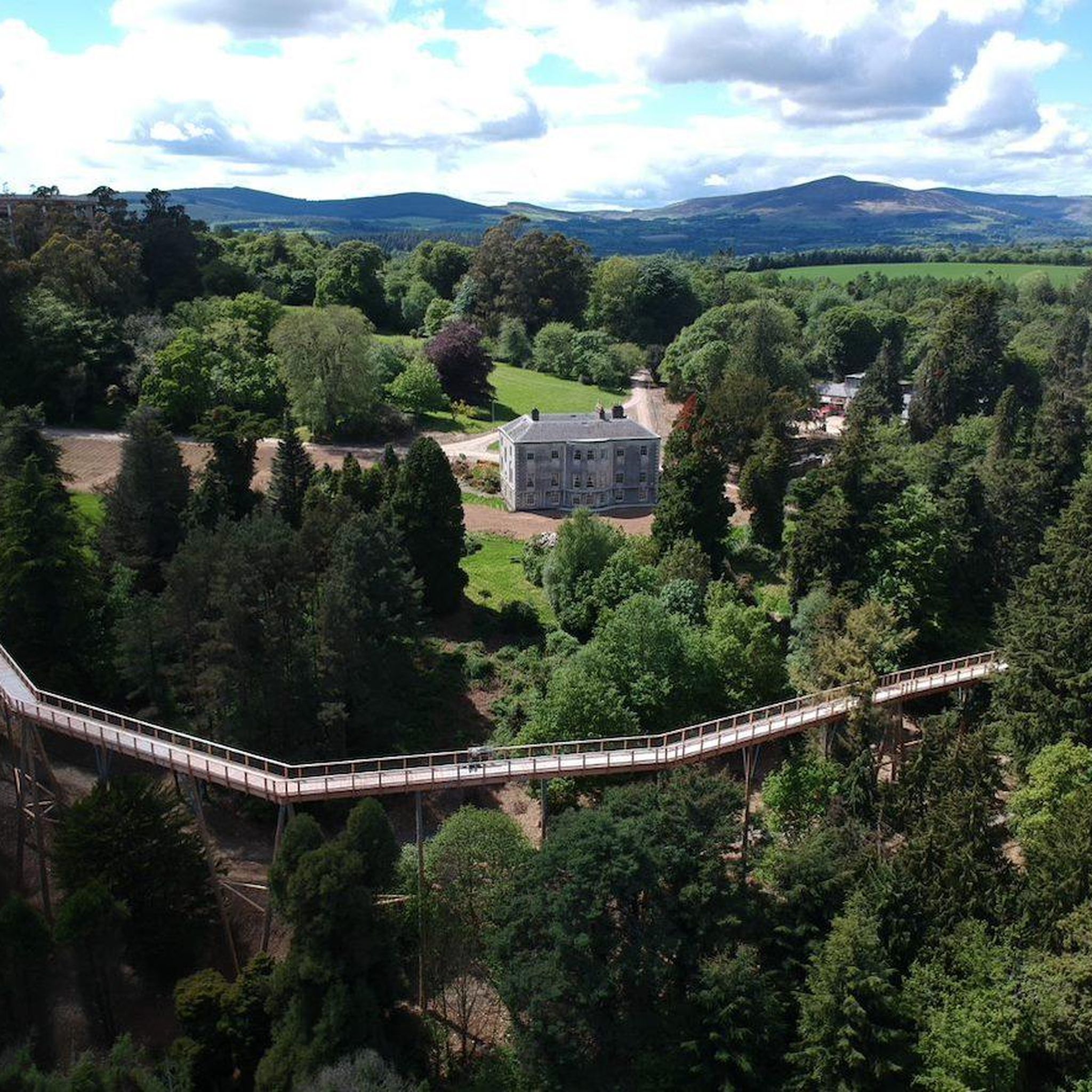
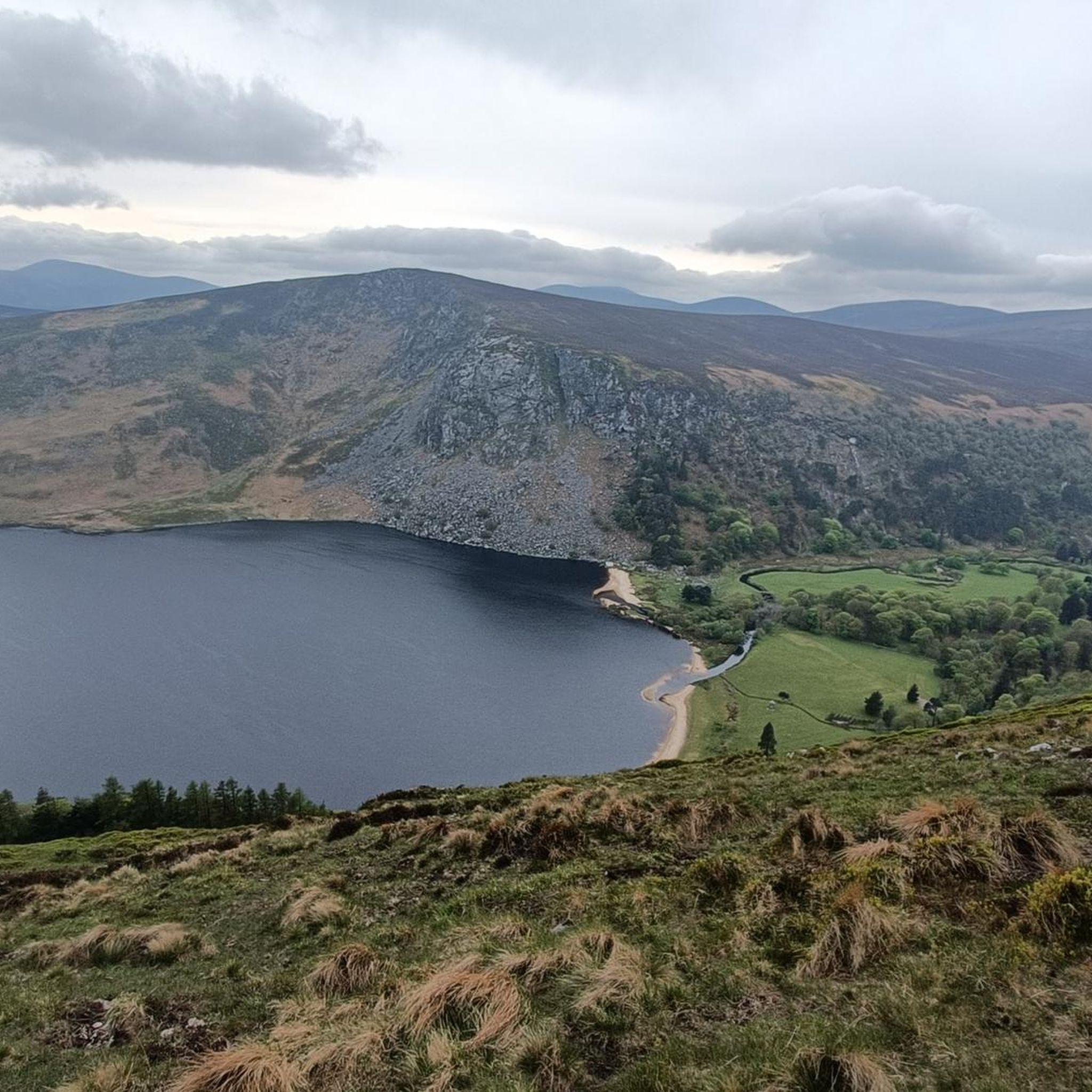
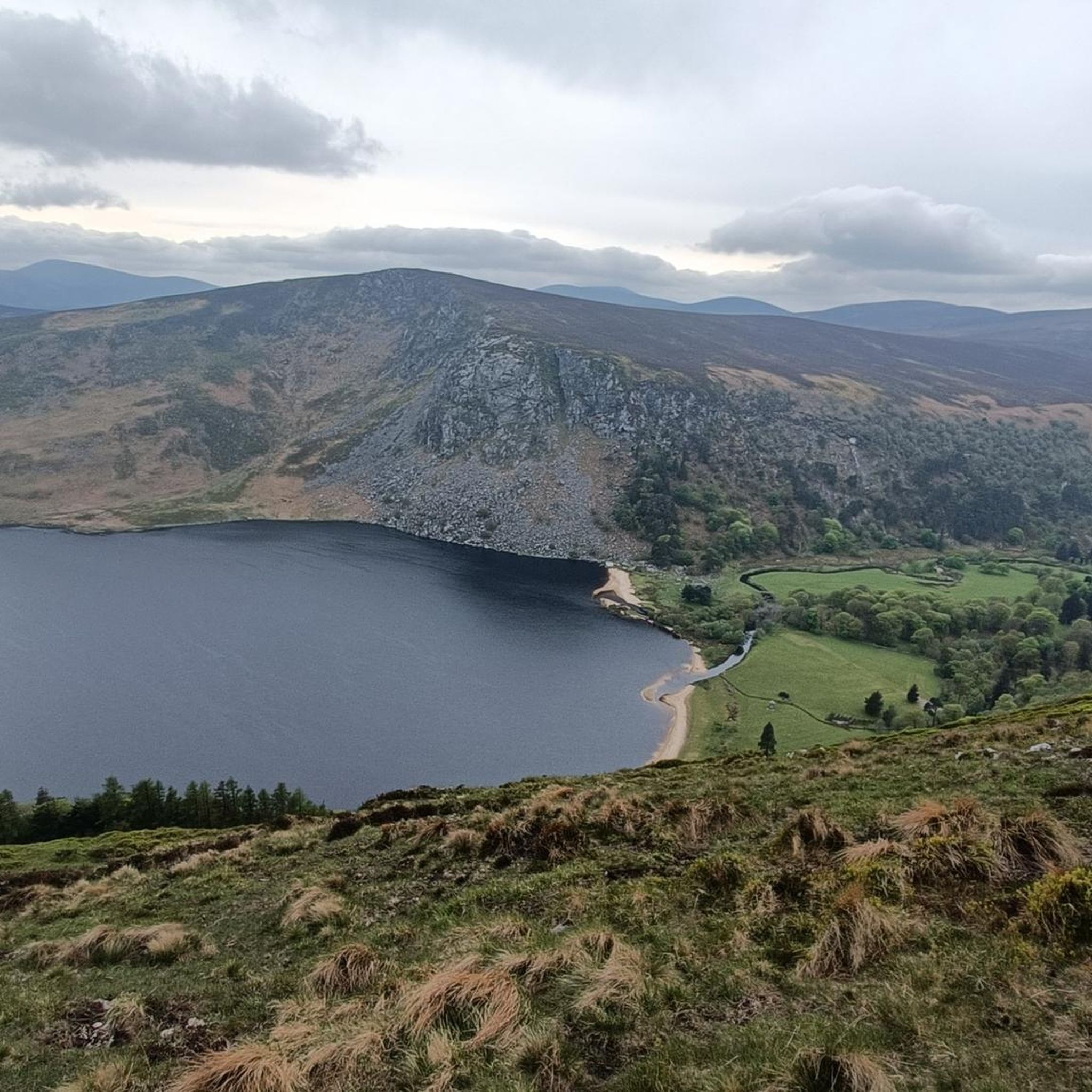
Tips from the Community

Located at the foot of the Wicklow Mountains, this bridge offers a picturesque view of the babbling Avonmore River. The current five-arch stone bridge was built around 1754 by John Braddel and connects the lower part of Rathdrum with the charming hilltop village centre. Look downstream from the bridge to catch a glimpse of the impressive Victorian railway viaduct, a masterpiece of civil engineering from the 1860s. This area was once the beating heart of the local wool industry and corn mills.
7
0
The Glenmacnass Waterfall cascades 80–100 metres down several broad steps into a carved U‑shaped valley, one of the wildest landscapes in the Wicklow Mountains. From the R115, you have a frontal view of the granite ledge over which the water falls, with open moorland, peat slopes, and the river winding its way towards Laragh.
8
0
The waterfall plunges in multiple stages, 80–100 meters, down a wide granite ledge. The combination of steep walls, open highlands, and the winding river below makes this one of the most dramatic panoramas in the entire R115 corridor.
6
0
Sally Gap, one of the highest and most open crossroads in the Wicklow Mountains. Here, the R759 and the Old Military Road (R115) intersect at over 500 meters altitude, in the middle of a vast moorland and heath landscape without buildings or shelter. The panorama is a full 360°: the dark bogs of Liffey Head Bog, the flanks of Kippure, the valleys towards Glencree, and the long, empty Military Road that runs like a pencil line through the highlands. This location is world-famous as a backdrop for films and series such as Braveheart, Vikings, and P.S. I Love You.
8
0
You are here on one of the most characteristic sections of the Old Military Road, built between 1800 and 1809 by the British Army to control the Wicklow Mountains after the 1798 Rebellion. This section of the L1013 runs across an open high plateau with wide, rugged views towards Glencree, Kippure and the northern Wicklow Mountains.
6
0
In the heart of the rugged Wicklow Mountains lies the Deutscher Soldatenfriedhof, a place of deep peace and reflection. Here rest 134 people, mainly German military personnel (mostly pilots and naval staff) who died in or near Ireland during the First and Second World Wars, as well as a number of civilian internees. The symmetrical rows of crosses, the low granite, and the open grassy expanse create a subdued atmosphere that strongly contrasts with the rugged Wicklow landscape surrounding it.
7
0
Frequently Asked Questions
How many road cycling routes are available around Avondale Forest Park?
There are over 45 road cycling routes available around Avondale Forest Park, catering to various skill levels from easy to difficult. The komoot community has highly rated these routes, with an average score of 4.8 stars.
Are there easy road cycling routes suitable for beginners?
Yes, Avondale Forest Park offers 7 easy road cycling routes. These routes typically feature more gentle stretches through the picturesque countryside, ideal for those new to road cycling or looking for a relaxed ride.
Where can I find challenging road cycling routes with significant climbs?
For challenging climbs, consider routes that venture into the Wicklow Mountains. The Killakee Viewpoint – Sally Gap loop from Rathdrum is a difficult 60.3-mile route featuring substantial elevation changes and expansive views. Another demanding option is the Sally Gap – Military Road (L1013) loop from Rathdrum, which covers 69.6 miles with over 1200 meters of ascent.
Which routes offer the best scenic views?
Many routes in the area provide stunning scenery. The Killakee Viewpoint – Sally Gap loop from Rathdrum offers expansive views across the landscape, particularly from the Sally Gap. The Greystones Beach – Glendalough Grocery loop from Rathdrum combines coastal vistas with inland forest roads, providing a diverse visual experience.
Are there long-distance road cycling routes available?
Yes, for those seeking longer rides, routes like the Sally Gap – Military Road (L1013) loop from Rathdrum span over 69 miles. The Killakee Viewpoint – Sally Gap loop from Rathdrum is also a substantial 60.3-mile journey, perfect for endurance cyclists.
Can I find circular road cycling routes around Avondale Forest Park?
Yes, the majority of road cycling routes around Avondale Forest Park are designed as loops, allowing you to start and finish at the same point. Examples include the Glenmalure Inn – Rathdrum loop from Rathdrum and the Rathdrum – Deputy's Pass Woods loop from Rathdrum.
What are the typical road conditions like for cycling in this region?
The road cycling routes around Avondale Forest Park primarily use scenic rural roads. While generally well-maintained, some sections, especially those in more remote areas or higher elevations, may have varying surfaces. It's always advisable to check local conditions before heading out, particularly after adverse weather.
Are there places to stop for refreshments along the routes?
Yes, many routes pass through or near villages and towns where you can find cafes, pubs, and shops for refreshments. For example, the Glenmalure Inn – Rathdrum loop from Rathdrum passes by the Glenmalure Inn, a popular stop for cyclists.
What is the best time of year for road cycling in Avondale Forest Park?
Spring and autumn generally offer the most pleasant conditions for road cycling, with milder temperatures and beautiful scenery as the woodlands change color. Summer can also be excellent, though routes may be busier. Winters can be cold and wet, with a higher chance of challenging road conditions, especially in higher elevations.
Is parking available near the road cycling routes?
Yes, parking is generally available at common starting points for routes, such as in Rathdrum or at Avondale Forest Park itself. Specific parking details can often be found in the route descriptions on komoot.
What do other road cyclists enjoy the most about road cycling in Avondale Forest Park?
The area is highly rated by the komoot community, with an average score of 4.8 stars from 8 reviews. Reviewers often praise the diverse landscape, which includes dense woodlands, river valleys, and challenging climbs, as well as the mix of quiet rural roads and scenic vistas.

Get inspired with the komoot mobile app


Explore more
Browse the best Road cycling routes in other regions.
