The best running trails around Landschaftsschutzgebiet Dippoldiswalder Heide
4.4
(613)
5,482
runners
16
runs
Jogging around Landschaftsschutzgebiet Dippoldiswalder Heide offers a variety of routes through a protected natural landscape. The region is characterized by its extensive woodlands, open heathland, and gentle rolling terrain, providing a natural setting for running. These trails often feature well-maintained paths suitable for various fitness levels, with some routes incorporating historical landmarks or natural rock formations.
Best jogging routes around Landschaftsschutzgebiet Dippoldiswalder Heide
- The most popular jogging route is Barbarakapelle Ruins – Stone Knife (atonement cross) loop from Malter, a 5.7 miles (9.1 km) trail that takes about 1 hour to complete. This moderate route explores historical points of interest within the heathland.
- Another top favourite among local runners is Trompeterfelsen – Malter Dam loop from Malter, a moderate 6.5 miles (10.5 km) path. This route offers views of the Malter Dam and passes by the Trompeterfelsen rock formation.
- Local runners also love the Stone Knife (atonement cross) – Dippoldiswalder Heath loop from Malter, a 3.0 miles (4.8 km) trail leading through the Dippoldiswalder Heath, often completed in about 30 minutes.
- Jogging around Landschaftsschutzgebiet Dippoldiswalder Heide is defined by its dense woodlands, open heathland, and gentle hills. The network offers options for easy jogging routes for beginners as well as more challenging running trails for experienced runners.
- The routes in Landschaftsschutzgebiet Dippoldiswalder Heide are highly rated by the komoot community with an average score of 4.5 stars from over 500 reviews. More than 5000 runners have used komoot to explore Landschaftsschutzgebiet Dippoldiswalder Heide's varied terrain.
Last updated: July 8, 2026
2.9
(13)
28
runners
Moderate run. Good fitness required. Mostly paved surfaces. Suitable for all skill levels.
4.5
(2)
17
runners
10.5km
01:08
120m
120m
Moderate run. Good fitness required. Mostly paved surfaces. Suitable for all skill levels.

Sign up for free
7
runners
Moderate run. Good fitness required. Mostly paved surfaces. Suitable for all skill levels.
3
runners
7.66km
00:52
130m
130m
Moderate run. Good fitness required. Mostly paved surfaces. Suitable for all skill levels.
4
runners
4.51km
00:29
50m
50m
Easy run. Great for any fitness level. Mostly paved surfaces. Suitable for all skill levels.
Get access to more routes and recommendations from other explorers.
Sign up for free
Already have an account?
Our route recommendations are based on thousands of hikes, rides, and runs completed by other people on komoot.
Start today with a free account
Your next adventure awaits.
Login or Signup
Popular around Landschaftsschutzgebiet Dippoldiswalder Heide

Wandertouren - Eisenbahn & Wanderstock
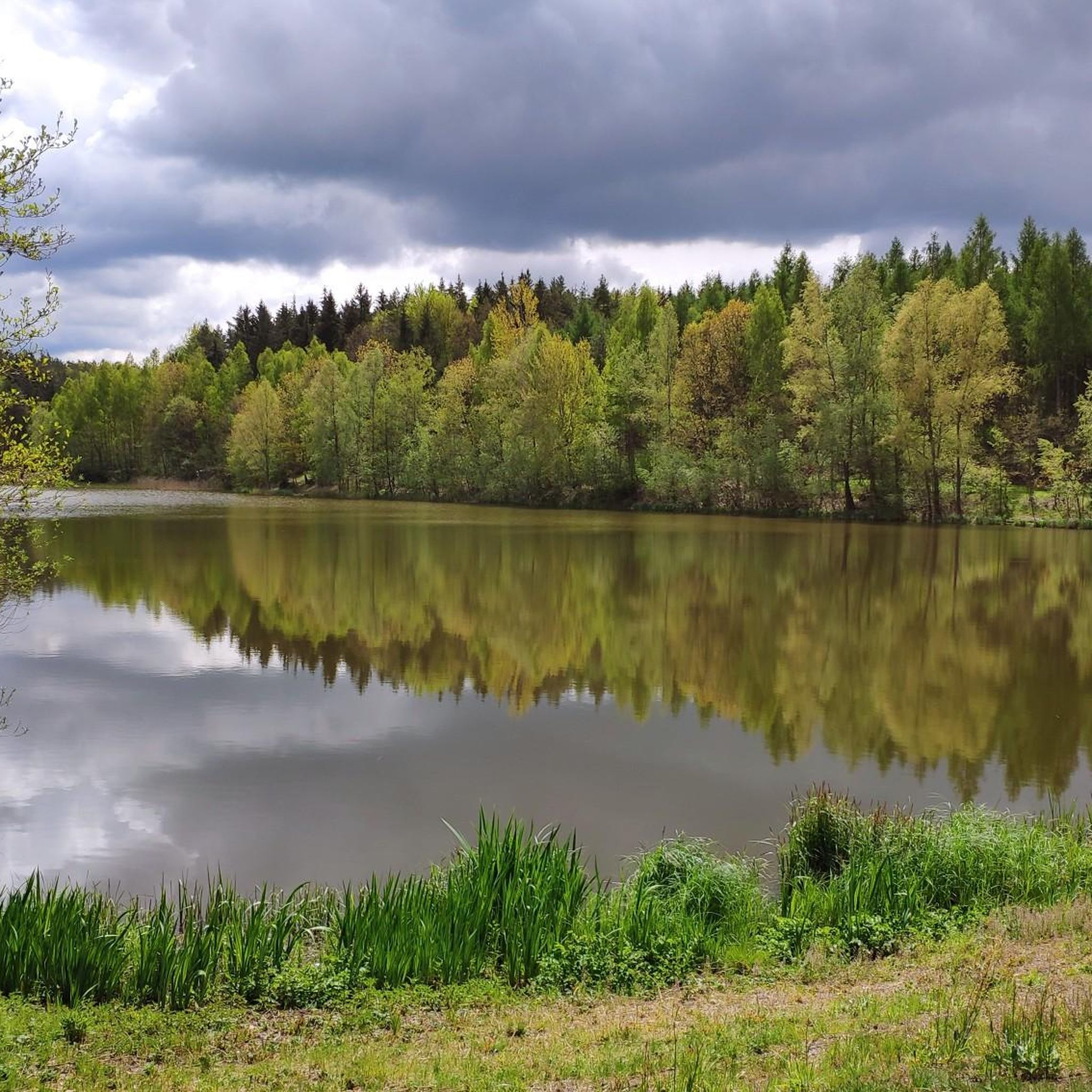
Hiking around Landschaftsschutzgebiet Dippoldiswalder Heide
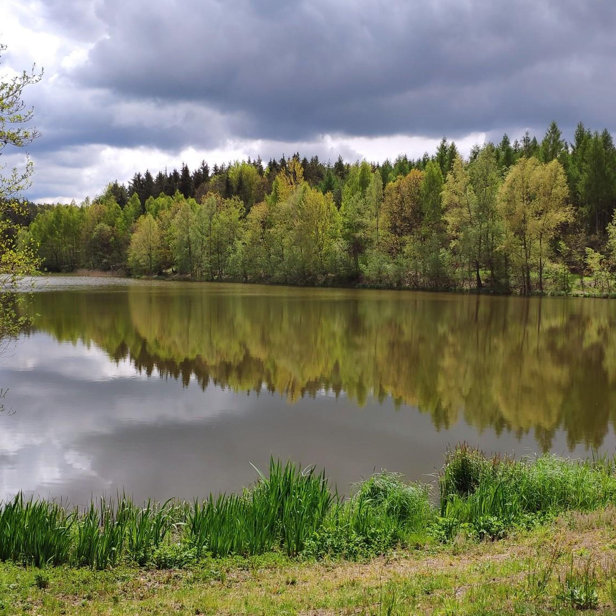
Cycling around Landschaftsschutzgebiet Dippoldiswalder Heide
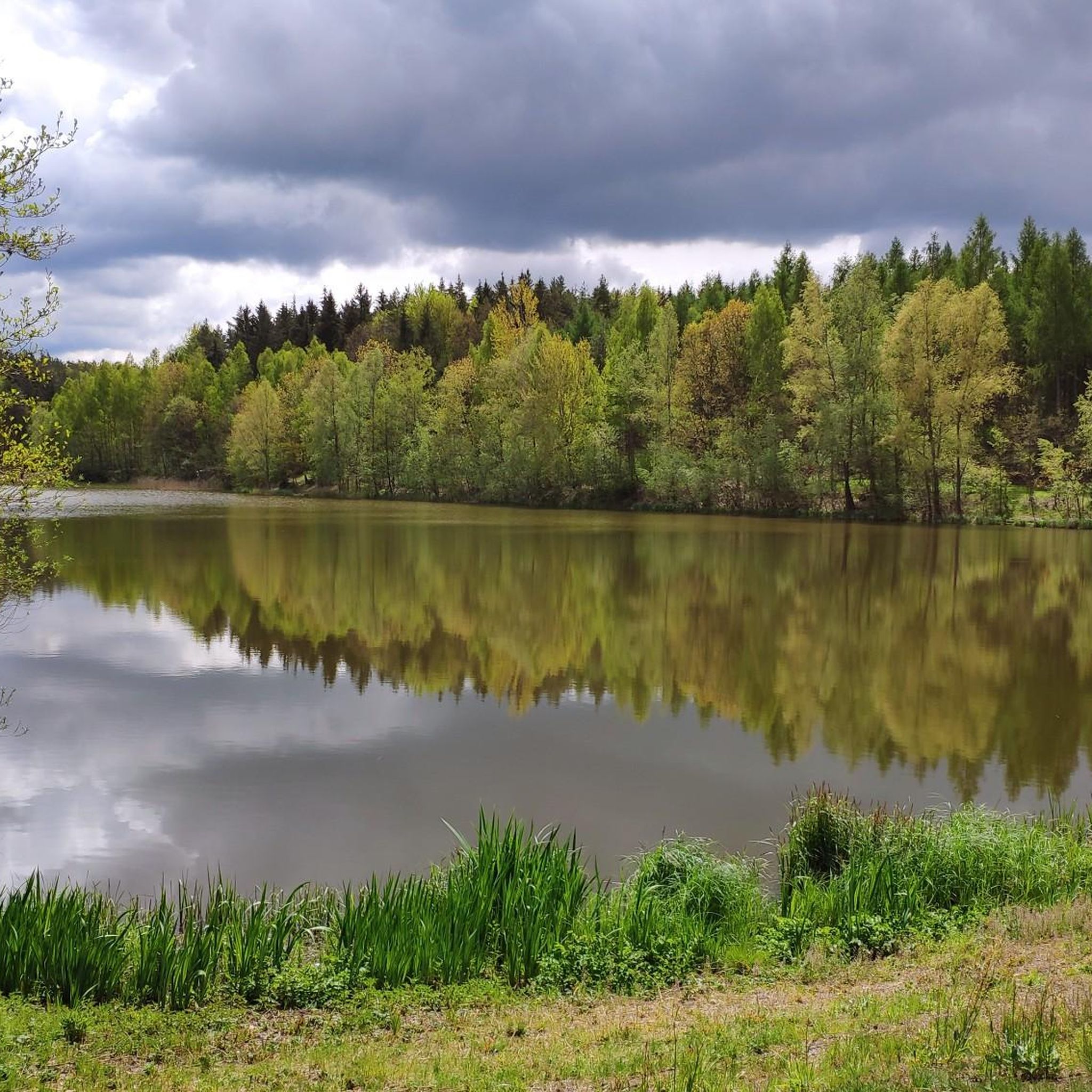
Road Cycling Routes around Landschaftsschutzgebiet Dippoldiswalder Heide
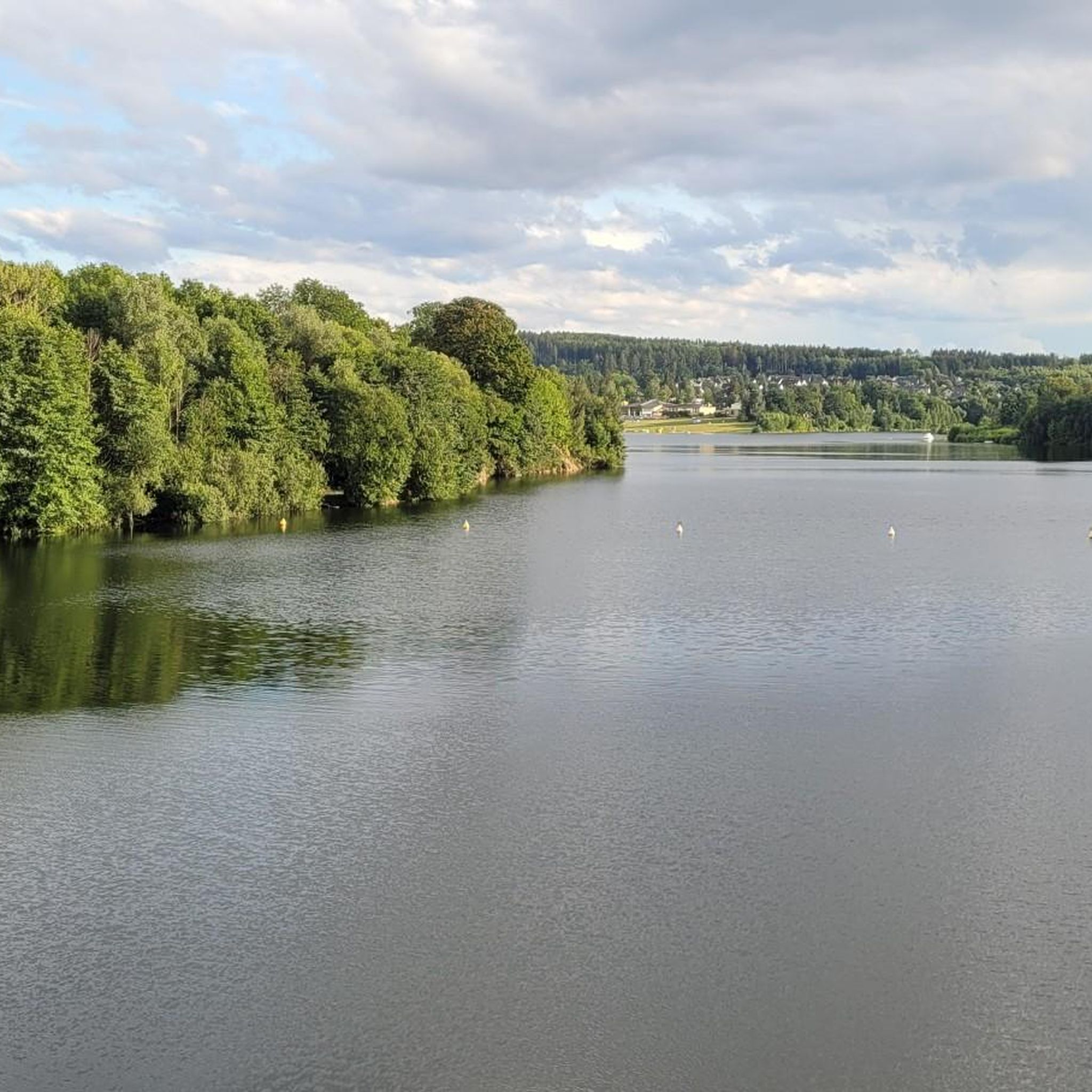
MTB Trails around Landschaftsschutzgebiet Dippoldiswalder Heide

Gravel biking around Landschaftsschutzgebiet Dippoldiswalder Heide
Other adventures around Landschaftsschutzgebiet Dippoldiswalder Heide

Tips from the Community

interesting monument in memory of the wolf hunt
0
0

Exciting history, therefore a worthwhile detour.
0
1
Interesting trail marker as an intermediate destination.
0
1
beautiful view over the treetops.
1
1

It's just incredibly beautiful here 😊.
1
1
It's just incredibly beautiful here 😊.
0
1

Frequently Asked Questions
How many running routes are available in Landschaftsschutzgebiet Dippoldiswalder Heide?
There are over 15 dedicated running routes in Landschaftsschutzgebiet Dippoldiswalder Heide. These include a mix of easy, moderate, and challenging trails to suit various fitness levels.
Are there any easy jogging routes suitable for beginners or families?
Yes, Landschaftsschutzgebiet Dippoldiswalder Heide offers several easy jogging routes. A great option for beginners or families is the Stone Knife (atonement cross) – Dippoldiswalder Heath loop from Malter, which is about 3 miles (4.8 km) long and takes around 30 minutes to complete.
What kind of terrain can I expect on the running trails?
The running trails in Landschaftsschutzgebiet Dippoldiswalder Heide feature a diverse landscape of dense woodlands, open heathland, and gentle rolling hills. You'll find well-maintained paths, often suitable for various fitness levels, with some routes incorporating historical landmarks or natural rock formations.
Are there any longer or more challenging running trails for experienced runners?
For those seeking a longer or more challenging run, the region has options. Consider the Trompeterfelsen – Malter Dam loop from Malter, a moderate 6.5 miles (10.5 km) path that offers scenic views and passes by the Trompeterfelsen rock formation.
Can I bring my dog on the jogging routes?
Many trails in Landschaftsschutzgebiet Dippoldiswalder Heide are dog-friendly, allowing you to enjoy a run with your canine companion. It's always recommended to keep your dog on a leash, especially in protected areas, and to check specific route regulations before you go.
What interesting sights or landmarks can I see along the running routes?
The routes often pass by notable landmarks and natural features. You might encounter the Einsiedlerstein rock formation, the historic Barbarakapelle Ruins, or enjoy views of the Malter Reservoir. The Stone Knife (atonement cross) – Einsiedlerstein rock formation loop from Malter is a good option for combining running with sightseeing.
Are there circular running routes available?
Yes, many of the running routes in Landschaftsschutzgebiet Dippoldiswalder Heide are designed as circular loops, making them convenient for starting and ending at the same point. For example, the Barbarakapelle Ruins – Einsiedlerstein rock formation loop from Malter is a popular circular option.
What do other runners enjoy most about jogging in Landschaftsschutzgebiet Dippoldiswalder Heide?
The area is highly rated by the komoot community, with an average score of 4.5 stars from over 500 reviews. Runners often praise the quiet woodlands, the well-maintained paths, and the natural setting that provides a refreshing escape for their runs.
Is there parking available near the trailheads?
Parking is generally available at common starting points for trails, particularly around areas like Malter, which serves as a popular access point for many routes in the Dippoldiswalder Heide. Specific parking details can often be found on individual route pages on komoot.
Can I reach the jogging routes using public transport?
While specific public transport connections vary, the region around Dippoldiswalder Heide is generally accessible. It's advisable to check local bus or train schedules to nearby towns like Dippoldiswalde or Malter, which can serve as starting points for your run.
Are there any viewpoints or scenic spots along the trails?
Absolutely. Many routes offer scenic views, particularly those that pass by the Malter Dam or ascend to higher points within the heathland. The Diebsgrund Pond and the South shore of Heidemühlenteich are also peaceful spots to enjoy the natural beauty.
Most popular routes around Landschaftsschutzgebiet Dippoldiswalder Heide
Most popular attractions around Landschaftsschutzgebiet Dippoldiswalder Heide

Get inspired with the komoot mobile app


Explore more
Browse the best Running Trails & Routes in other regions.
