The best walks and hikes around Landschaftsschutzgebiet Dippoldiswalder Heide
4.6
(16519)
59,637
hikers
147
hikes
Hiking trails around Landschaftsschutzgebiet Dippoldiswalder Heide traverse a hilly forested area in the Osterzgebirge, situated between 310 and 411 meters above sea level. The region features unique sandstone formations from the Cretaceous period, such as the Einsiedlerstein, and includes the Heidemühlenteich. Its southwestern edge borders the Malter Dam, offering additional scenic walks and recreational opportunities.
Best hiking trails around Landschaftsschutzgebiet Dippoldiswalder Heide
- The most popular hiking route is Barbarakapelle Ruins – Einsiedlerstein rock formation loop from Oelsa, an easy 3.6 miles (5.8 km) trail that takes 1 hour 34 minutes to complete. This route connects historical ruins with a notable sandstone formation.
- Another top favourite among local hikers is Swiss Bridge – Rabenauer Grund Nature Reserve loop from Malter, a moderate 11.2 miles (18.1 km) path. This trail explores the scenic Rabenauer Grund Nature Reserve, known for its rock formations.
- Local hikers also love the Einsiedlerstein rock formation – Barbarakapelle Ruins loop from Malter, a 6.0 miles (9.7 km) trail leading through varied terrain featuring sandstone formations and historical ruins, often completed in about 2 hours 41 minutes.
- Hiking around Landschaftsschutzgebiet Dippoldiswalder Heide is defined by hilly forested terrain, unique sandstone formations, and the Heidemühlenteich. The network offers options for different ability levels, from easy loops to moderate excursions.
- The routes in Landschaftsschutzgebiet Dippoldiswalder Heide are highly rated by the komoot community with an average score of 4.6 stars from more than 1100 reviews. More than 4000 hikers have used komoot to explore Landschaftsschutzgebiet Dippoldiswalder Heide's varied terrain.
Last updated: June 26, 2026
4.8
(102)
299
hikers
Easy hike. Great for any fitness level. Easily-accessible paths. Suitable for all skill levels.
4.8
(392)
1,353
hikers
18.0km
04:45
170m
170m
Moderate hike. Good fitness required. Easily-accessible paths. Suitable for all skill levels.

Sign up for free
4.7
(67)
202
hikers
9.73km
02:41
170m
170m
Moderate hike. Good fitness required. Easily-accessible paths. Suitable for all skill levels.
4.6
(61)
207
hikers
Easy hike. Great for any fitness level. Easily-accessible paths. Suitable for all skill levels.
4.8
(49)
158
hikers
Easy hike. Great for any fitness level. Easily-accessible paths. Suitable for all skill levels.
Get access to more routes and recommendations from other explorers.
Sign up for free
Already have an account?
Our route recommendations are based on thousands of hikes, rides, and runs completed by other people on komoot.
Start today with a free account
Your next adventure awaits.
Login or Signup
Popular around Landschaftsschutzgebiet Dippoldiswalder Heide

Wandertouren - Eisenbahn & Wanderstock
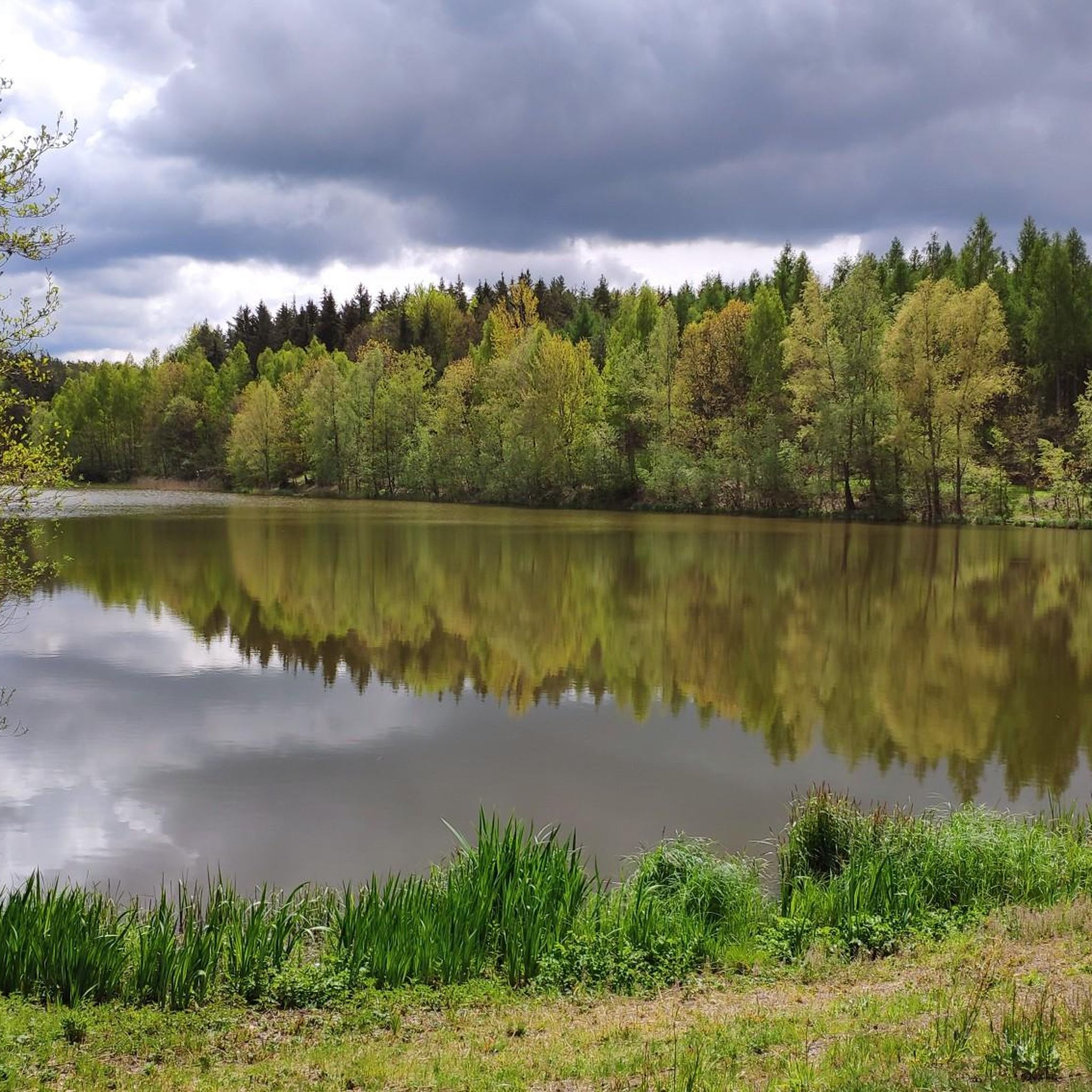
Cycling around Landschaftsschutzgebiet Dippoldiswalder Heide
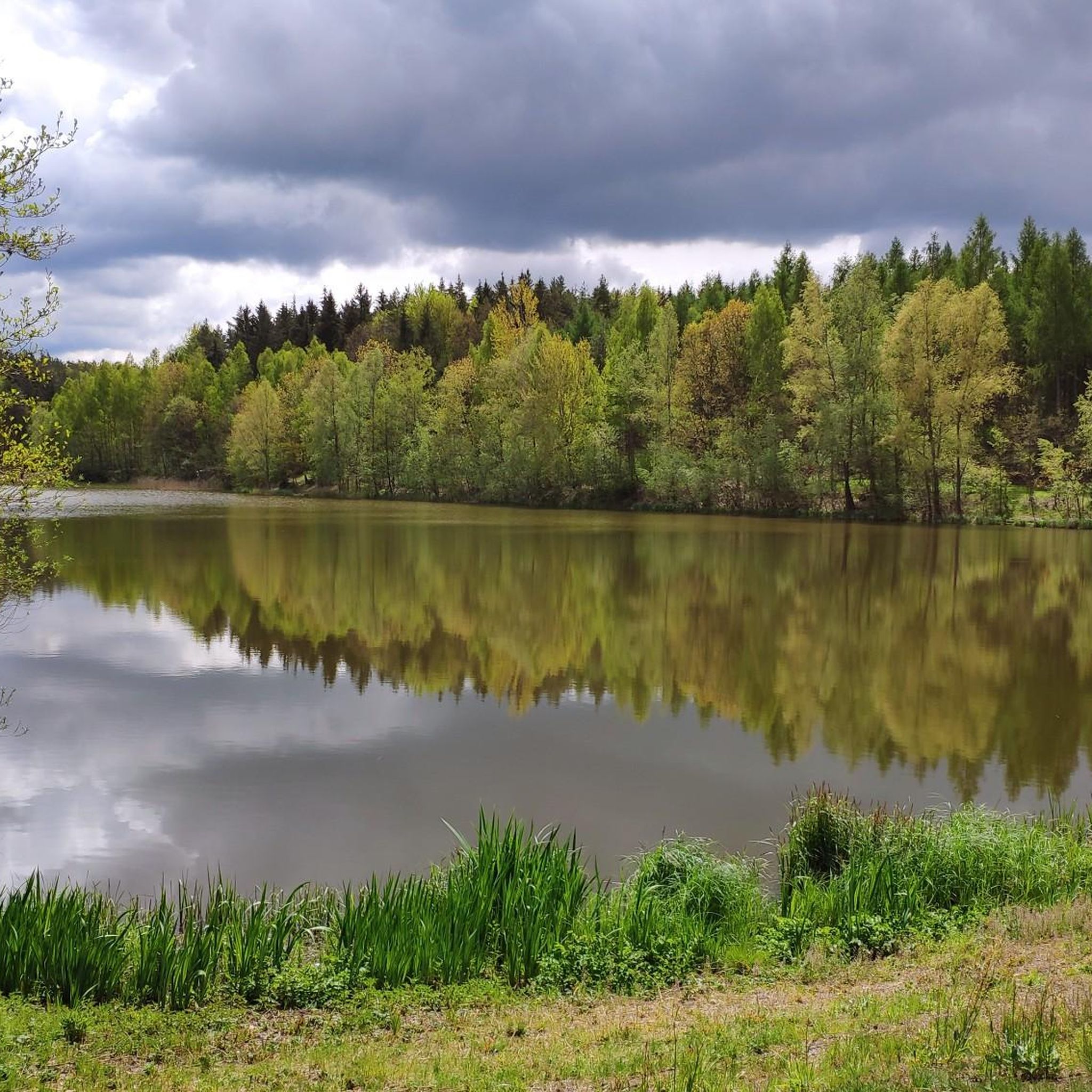
Road Cycling Routes around Landschaftsschutzgebiet Dippoldiswalder Heide
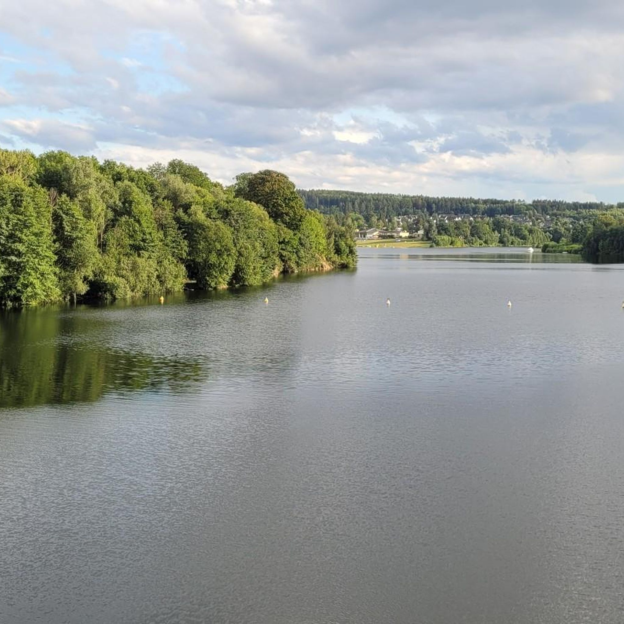
Running Trails around Landschaftsschutzgebiet Dippoldiswalder Heide
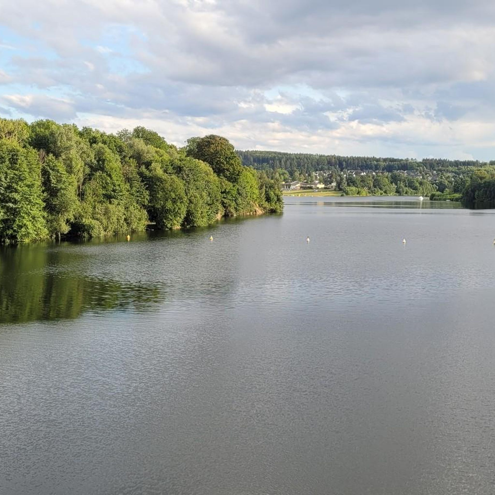
MTB Trails around Landschaftsschutzgebiet Dippoldiswalder Heide

Gravel biking around Landschaftsschutzgebiet Dippoldiswalder Heide
Other adventures around Landschaftsschutzgebiet Dippoldiswalder Heide

Tips from the Community

interesting monument in memory of the wolf hunt
0
0


Exciting history, therefore a worthwhile detour.
0
1
Interesting trail marker as an intermediate destination.
0
1
beautiful view over the treetops.
1
1

I think the idea is quite sweet, especially for the children. However, I think the scale is a bit excessive and out of proportion. I imagined it to be more "romantic" and less damaging to the forest.
1
0

It's just incredibly beautiful here 😊.
0
1
It's just incredibly beautiful here 😊.
0
1
Frequently Asked Questions
How many hiking trails are available in Landschaftsschutzgebiet Dippoldiswalder Heide?
Landschaftsschutzgebiet Dippoldiswalder Heide offers a wide network of trails, with over 150 hiking routes to explore. These range from easy strolls to more challenging excursions, catering to various fitness levels.
What kind of natural landscapes can I expect to see while hiking here?
The region is characterized by its hilly forested terrain, situated between 310 and 411 meters above sea level. You'll encounter unique sandstone formations, remnants from the Cretaceous period, often displaying reddish-brown hues and fascinating honeycomb structures. The area also features the scenic Heidemühlenteich pond and borders the Malter Dam, offering diverse natural beauty.
Are there any family-friendly hiking routes in Dippoldiswalder Heide?
Yes, there are many easy routes suitable for families. For instance, the Fairy Houses on the Malterweg – Einsiedlerstein rock formation loop from Reinberg is an easy 5.4 km trail that offers a pleasant walk through the forest, perfect for a family outing. Many trails are well-marked and relatively flat, making them accessible for all ages.
What historical or cultural landmarks can I discover along the trails?
The trails lead to several intriguing landmarks. You can visit the ancient Barbarakapelle Ruins, the historically significant Einsiedlerstein rock formation, and the mysterious Legend Cave in the Dippoldiswalder Heath. Other points of interest include the Steinernes Messer (Stone Knife) and the Wolfsäule (Wolf Pillar).
Are there good options for circular walks in the area?
Absolutely. Many of the trails in Landschaftsschutzgebiet Dippoldiswalder Heide are designed as circular routes, allowing you to start and end at the same point. An example is the easy Heidemühlenteich – Einsiedlerstein rock formation loop from Karsdorf, which is about 5.2 km long and takes you past the pond and a notable rock formation.
Can I bring my dog on the hiking trails?
Generally, dogs are welcome on the hiking trails in Landschaftsschutzgebiet Dippoldiswalder Heide. However, it's always recommended to keep them on a leash, especially in forested areas to protect wildlife and ensure the safety of other hikers. Please be mindful of local regulations and signage.
What do other hikers enjoy most about hiking in Landschaftsschutzgebiet Dippoldiswalder Heide?
The area is highly rated by the komoot community, with an average score of 4.6 stars from over 1100 reviews. Reviewers often praise the quiet woodlands, the unique sandstone formations, and the well-marked paths that make exploration enjoyable for all skill levels.
Are there any viewpoints or panoramic spots along the trails?
Yes, for panoramic views, consider hiking towards the König-Johann-Turm (King John Tower). This observation tower, built in 1885, offers stunning vistas of the surrounding landscape, including the lower Osterzgebirge, from its 20-meter-high platform.
How can I access the hiking trails using public transport?
The region is accessible by public transport. The Weißeritztalbahn (Weißeritz Valley Railway) runs through the nearby Rabenauer Grund, providing a unique way to reach the vicinity of the Heide. Check local bus schedules for connections to trailheads around Dippoldiswalde and surrounding villages.
Where can I find parking for the hiking trails?
Parking facilities are available at various entry points to the Landschaftsschutzgebiet Dippoldiswalder Heide. Popular starting points like Oelsa, Malter, and Reinberg often have designated parking areas for hikers. It's advisable to check specific trailhead information for the most convenient parking options.
Are there any longer, more challenging routes for experienced hikers?
Yes, for those seeking a longer adventure, the Swiss Bridge – Rabenauer Grund Nature Reserve loop from Malter is a moderate 18.1 km path. This trail explores the scenic Rabenauer Grund Nature Reserve, known for its bizarre rock formations and the meandering Rote Weißeritz river, offering a more extensive hiking experience.
What is the best time of year to go hiking in Dippoldiswalder Heide?
The Dippoldiswalder Heide is beautiful year-round. Spring brings lush greenery and blooming flora, while autumn offers vibrant fall colors. Summer is ideal for longer hikes, and even winter can be magical with snow-covered landscapes, though some trails might require appropriate gear.
Most popular routes around Landschaftsschutzgebiet Dippoldiswalder Heide
Most popular attractions around Landschaftsschutzgebiet Dippoldiswalder Heide

Get inspired with the komoot mobile app


Explore more
Browse the best Hikes in other regions.
