The best MTB trails around Landschaftsschutzgebiet Dippoldiswalder Heide
4.5
(772)
2,487
riders
334
rides
Mountain bike trails around Landschaftsschutzgebiet Dippoldiswalder Heide traverse a varied landscape, featuring a network of routes through diverse terrain. The region is characterized by the scenic Red Weißeritz Valley, expansive water bodies like the Malter Dam, and the deep forests of the Eastern Ore Mountains. This hilly forest area, part of the Osterzgebirge, offers elevations ranging from 310 m to 411 m above sea level, providing a range of environments for mountain biking.
Best mountain bike trails around Landschaftsschutzgebiet Dippoldiswalder…
Last updated: October 13, 2026
4.4
(5)
16
riders
52.5km
03:28
480m
480m
Moderate mountain bike ride. Good fitness required. Suitable for all skill levels.
4.8
(4)
8
riders
7.15km
00:30
50m
50m
Easy mountain bike ride. Great for any fitness level. Suitable for all skill levels.

5.0
(1)
9
riders
46.2km
03:52
690m
690m
Moderate mountain bike ride. Good fitness required. Advanced riding skills necessary.
5.0
(1)
3
riders
16.4km
01:09
180m
180m
Easy mountain bike ride. Great for any fitness level. Suitable for all skill levels.
3.0
(2)
5
riders
24.3km
01:53
300m
300m
Moderate mountain bike ride. Good fitness required. Suitable for all skill levels.
Get access to more routes and recommendations from other explorers.
Already have an account?
Our route recommendations are based on thousands of hikes, rides, and runs completed by other people on komoot.
Start today with a free account
Your next adventure awaits.
Popular around Landschaftsschutzgebiet Dippoldiswalder Heide

Wandertouren - Eisenbahn & Wanderstock
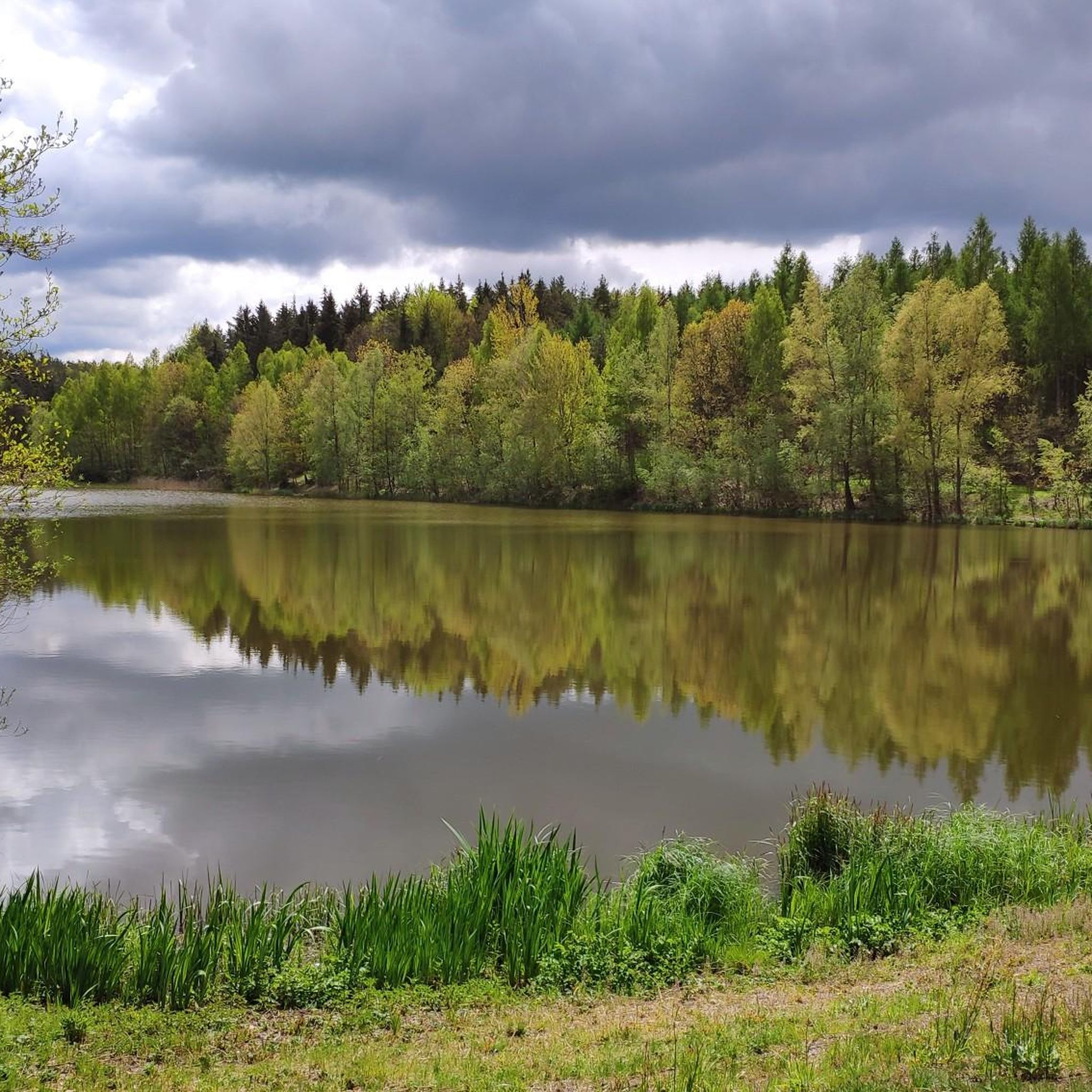
Hiking around Landschaftsschutzgebiet Dippoldiswalder Heide
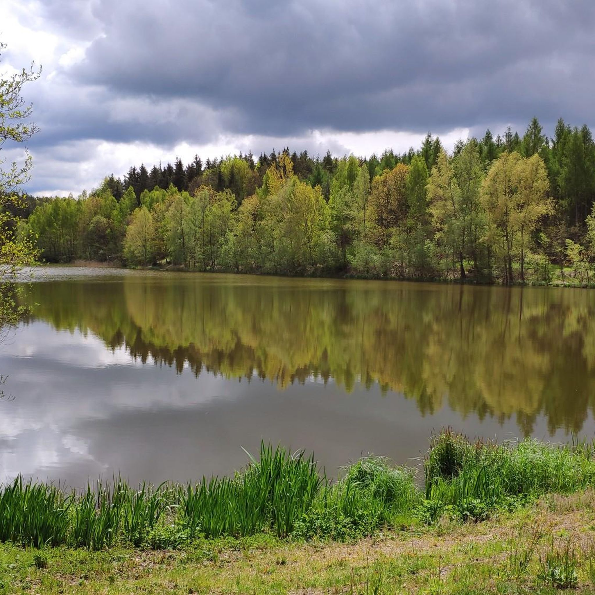
Road Cycling Routes around Landschaftsschutzgebiet Dippoldiswalder Heide
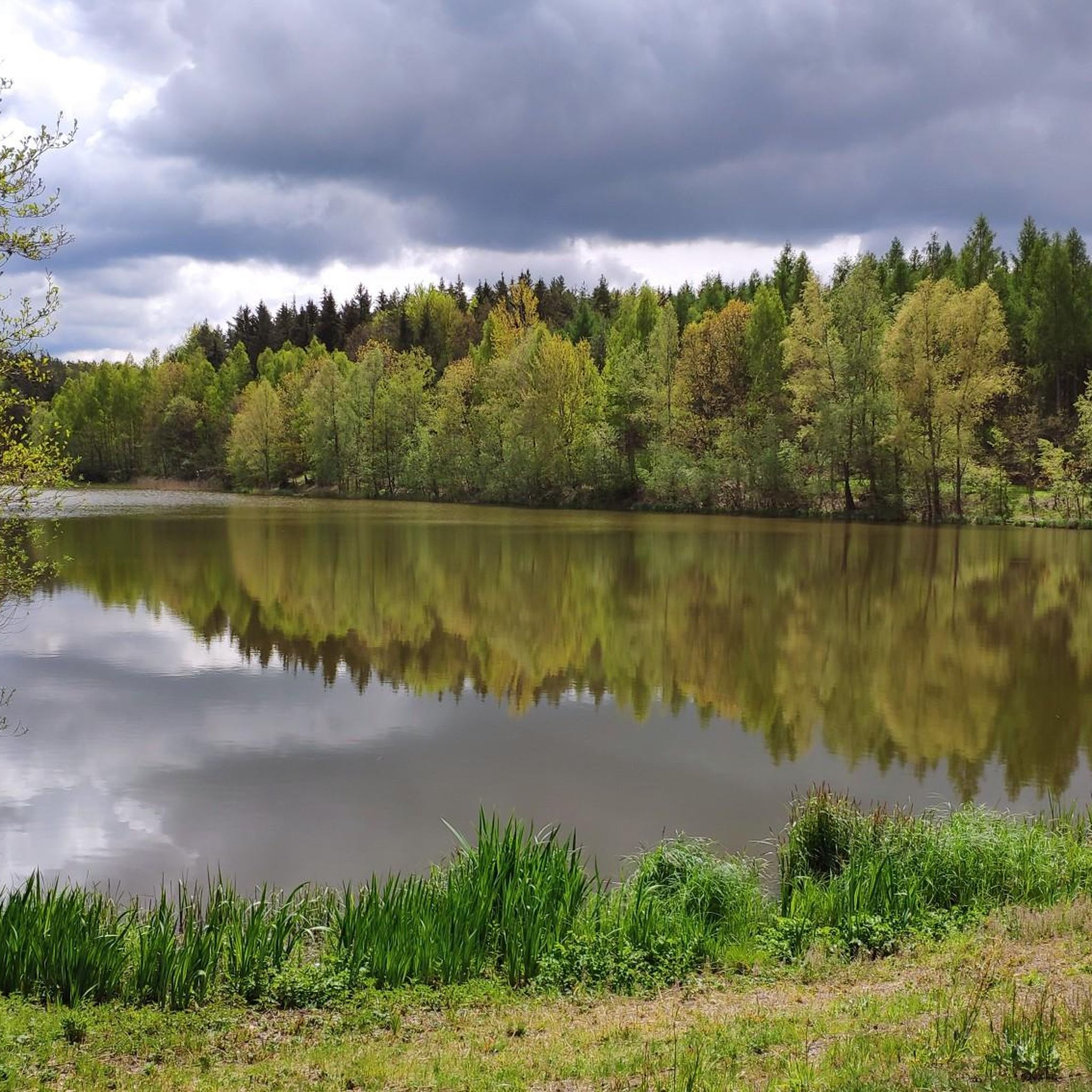
Cycling around Landschaftsschutzgebiet Dippoldiswalder Heide
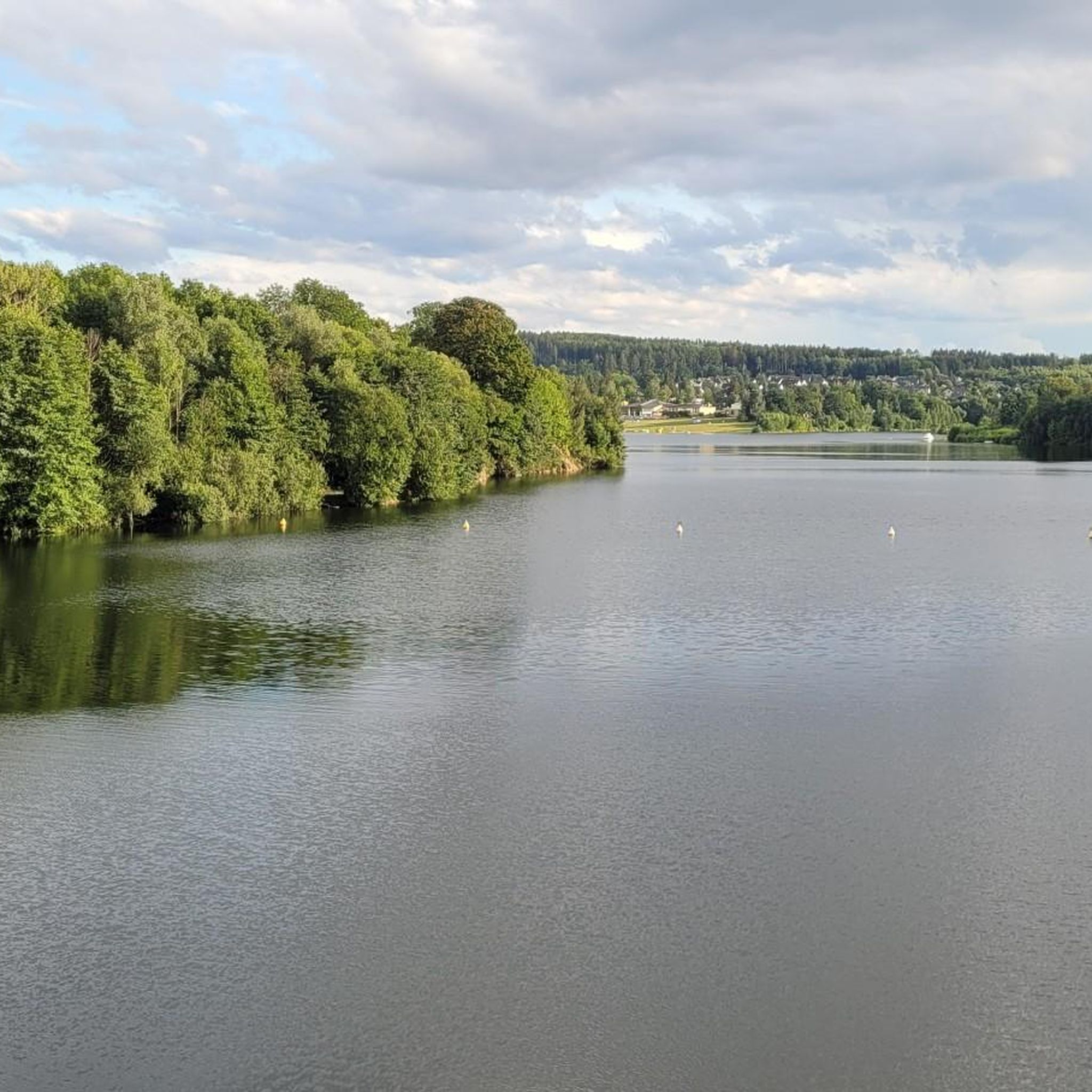
Running Trails around Landschaftsschutzgebiet Dippoldiswalder Heide

Gravel biking around Landschaftsschutzgebiet Dippoldiswalder Heide
Other adventures around Landschaftsschutzgebiet Dippoldiswalder Heide

Tips from the Community

Small fine animal park https://www.tierpark-hoeckendorf.de/unser-tierpark
0
0

interesting monument in memory of the wolf hunt
0
0

It is simply fantastically beautiful here 😊.
0
1

Exciting history, therefore a worthwhile detour.
0
1
Interesting trail marker as an intermediate destination.
0
1
beautiful view over the treetops.
1
1
It's just incredibly beautiful here 😊.
0
1
Frequently Asked Questions
How many mountain bike trails are available in Landschaftsschutzgebiet Dippoldiswalder Heide?
There are over 20 mountain bike trails in Landschaftsschutzgebiet Dippoldiswalder Heide, offering a diverse range of experiences. These routes are highly rated by the komoot community, with an average score of 4.6 stars.
What kind of terrain can I expect on the mountain bike trails in Dippoldiswalder Heide?
The terrain in Dippoldiswalder Heide is quite varied, featuring paths through the scenic Red Weißeritz Valley, expansive water bodies like the Malter Dam and Klingenberg Forebay, and the deep forests of the nearby Eastern Ore Mountains. You'll find a mix of valley paths and more challenging forest trails.
Are there any easy mountain bike trails suitable for beginners or families?
Yes, there are several easy mountain bike trails. For instance, the Malter Dam – Malter Viaduct loop from Malter is an easy 7.1 km route that takes about 30 minutes to complete, perfect for a relaxed ride around the dam.
What are some notable natural features or landmarks to look out for while mountain biking?
The region is rich in natural beauty and historical sites. You can encounter the striking Einsiedlerstein rock formation, the picturesque Malter Reservoir, and the idyllic South shore of Heidemühlenteich. The historical Barbarakapelle Ruins also offer a glimpse into the area's past.
Are there any circular mountain bike routes in the area?
Many of the mountain bike trails in Dippoldiswalder Heide are circular. A popular option is the Malter Dam – Red Weißeritz Valley loop from Malter, which is a moderate 52.6 km route. Another great choice is the Hermit's Rock – Semmelsteig Bridge loop from Karsdorf, a moderate 26.7 km trail.
What is the best time of year for mountain biking in Landschaftsschutzgebiet Dippoldiswalder Heide?
The spring and autumn months generally offer the most pleasant conditions for mountain biking, with mild temperatures and vibrant scenery. While trails are accessible in summer, be mindful of potential heat. Winter riding is possible, but conditions can be challenging with snow and ice, especially in higher or more forested areas.
Can I bring my dog on the mountain bike trails?
While the region is generally dog-friendly for outdoor activities, specific rules may apply to certain trails or protected areas. It's always best to keep your dog on a leash, especially in nature reserves, and ensure you clean up after them. Check local signage for any specific restrictions.
Are there any challenging mountain bike trails for experienced riders?
Yes, experienced riders will find challenging options. The Hochwaldstraße – View of the Mountain Ranges loop from Malter is a difficult 66.6 km path that offers extensive views and demanding terrain through forested areas, with over 1000 meters of elevation gain.
Where can I find parking for mountain biking in Dippoldiswalder Heide?
Parking is typically available at common starting points for trails, such as around the Malter Dam or in towns like Malter and Karsdorf. Look for designated parking areas near trailheads. Specific parking information is often detailed on individual route pages on komoot.
What do other mountain bikers enjoy most about the trails in Dippoldiswalder Heide?
The area is highly rated by the komoot community, with an average score of 4.6 stars from over 20 reviews. Mountain bikers often praise the diverse terrain, the scenic beauty of the Red Weißeritz Valley and Malter Dam, and the variety of routes suitable for different skill levels.
Are there any cafes or pubs near the mountain bike trails?
Yes, you can find cafes and pubs in the towns and villages surrounding the Landschaftsschutzgebiet Dippoldiswalder Heide, such as in Malter or Dippoldiswalde. These establishments offer opportunities to refuel and relax after your ride.
How long are the mountain bike trails in Dippoldiswalder Heide?
Trail lengths vary significantly, from shorter, easy loops of around 7 km, like the Malter Dam – Malter Viaduct loop from Malter, to longer, more challenging routes exceeding 60 km, such as the Hochwaldstraße – View of the Mountain Ranges loop from Malter. Most trails fall into the moderate category, ranging from 20 to 50 km.
Most popular routes around Landschaftsschutzgebiet Dippoldiswalder Heide
Most popular attractions around Landschaftsschutzgebiet Dippoldiswalder Heide

Get inspired with the komoot mobile app


Explore more
Browse the best MTB trails in other regions.
