The best mountain hikes around Seathwaite Tarn
4.3
(3)
30
hikers
7
hikes
Mountaineering around Seathwaite Tarn offers access to the rugged fells and high peaks of the Lake District. The region is characterized by challenging ascents, rocky terrain, and panoramic views of the surrounding valleys and tarns. Prominent summits like the Old Man of Coniston, Bowfell, and Wetherlam define the landscape, providing diverse opportunities for experienced mountaineers. The area features a mix of steep climbs and exposed ridges, typical of high mountain environments.
Best mountaineering routes around Seathwaite Tarn
- The most popular…
Last updated: June 24, 2026
5.0
(1)
6
hikers
10.5km
04:18
700m
700m
Moderate mountaineering route. Good fitness required. Mostly accessible paths. Sure-footedness required.
7
hikers
12.3km
05:06
740m
740m
Hard mountaineering route. Very good fitness required. Sure-footedness, sturdy shoes and alpine experience required.

Sign up for free
5.0
(1)
2
hikers
16.9km
06:57
1,070m
1,070m
Hard mountaineering route. Very good fitness required. Sure-footedness, sturdy shoes and alpine experience required.
2
hikers
11.7km
04:42
890m
890m
Moderate mountaineering route. Good fitness required. Easily-accessible paths. Suitable for all skill levels.
2
hikers
7.26km
03:10
590m
590m
Moderate mountaineering route. Good fitness required. Mostly accessible paths. Sure-footedness required.
Get access to more routes and recommendations from other explorers.
Sign up for free
Already have an account?
Our route recommendations are based on thousands of hikes, rides, and runs completed by other people on komoot.
Start today with a free account
Your next adventure awaits.
Login or Signup
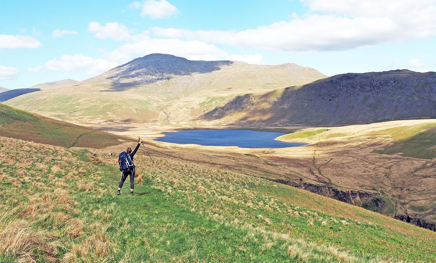
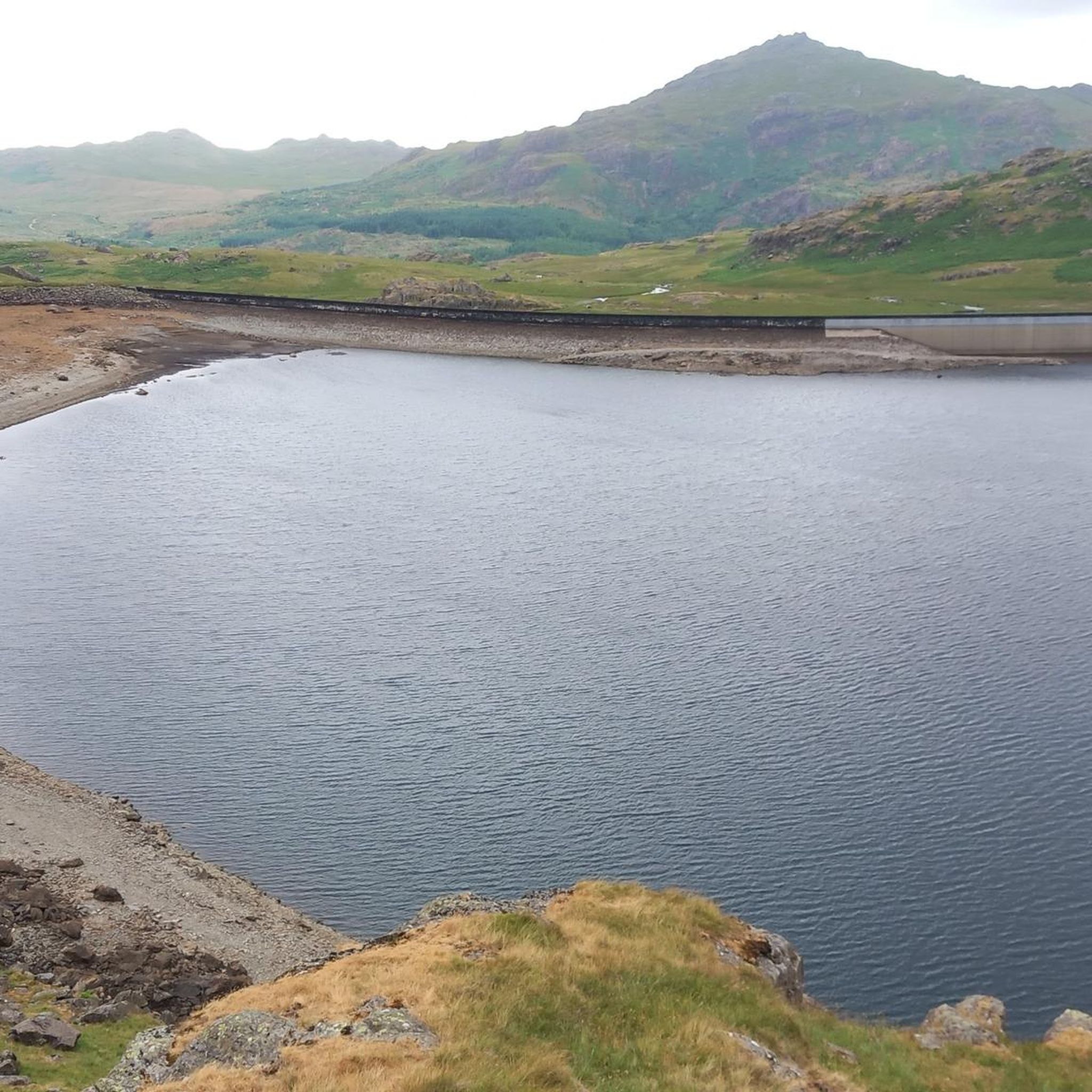
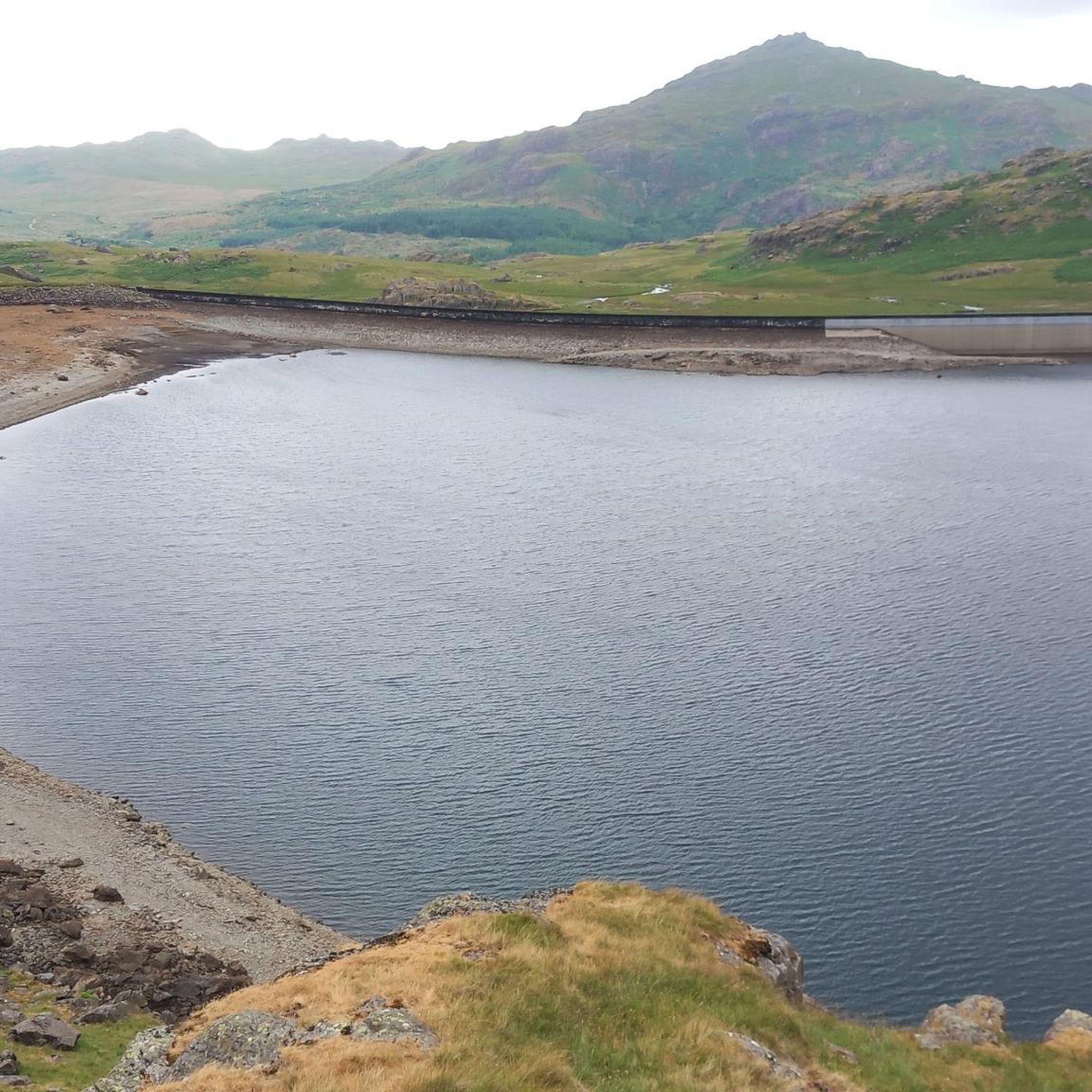
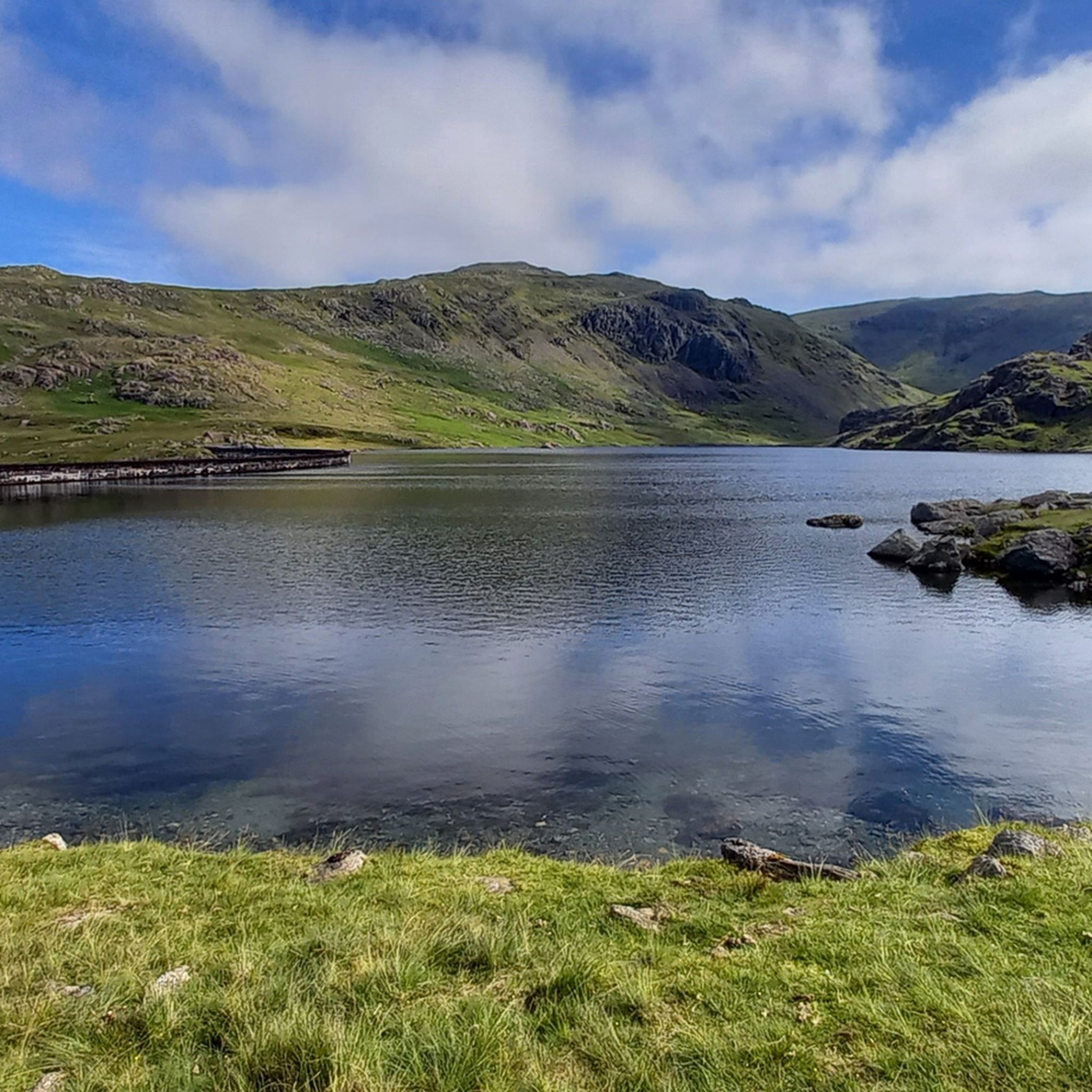
Other adventures around Seathwaite Tarn

Tips from the Community

To describe this mountain, here is a quote: "Although cruelly scarred and disfigured by the quarries, the Old Man has retained a dignified bearing and still lifts his proud and venerable head to the sky. His tears flow quietly into Low Water and Goats Water, two beautiful mountain tarns, whence they eventually... find their way to Coniston Water, bathing his ancient feet." Alfred Wainwright, "A Pictorial Guide to the Lakeland Fells, Book Four: The Southern Fells"
5
0
A beautiful waterfall, but difficult to view in the summer due to dense vegetation.
6
0

Bowfell has got a great hikers' pedigree for a reason. It has a distinctive, pyramid-shaped peak, and at 902 metres (2,959 feet), it is England's sixth-highest mountain. It is noted for the great scramble that is the climber's traverse. From its rocky, boulder-strewn top you have sweeping panoramic views across to Scafell Pike and the Langdale valley.
0
0
Crinkle Crags is a proper, rugged, craggy, undulating 859-metre mountain summit. The actual summit section is referred to as the 'Long Top'. The mountain massif itself has a series of five rocky undulations that create a number of other distinct tops, and they are all great little scrambly outings in their own way. There is also the 'Bad Step' on the southern approach to Long Top. This is a short but infamous rocky micro-scramble. If you like rock, Crinkle Crags is your place to be.
0
0
Great Knott is a 696-metre (2,283 feet) peak that sits on the ridge connecting Bowfell to Esk Pike. Its position on this rugged and dramatic ridgeline gives you outstanding views of the Langdale Valley and up towards Crinkly Crags. It is one of the UK's designated Nuttalls.
1
0
Pike of Blisco is a brilliant peak. It's got a craggy, rugged 705-metre summit and has commanding views down over the Langdale Valley. I came up from the Old Dungeon Ghyll Hotel, up the famous steps, but you can also get to it from Wrynose Pass. It has a little summit cairn on the craggy mounds at the top.
0
0
Great Langdale is a spectacular, U-shaped glacial valley in the heart of the Lake District National Park, renowned for its dramatic fells, waterfalls, and world-class hiking trails. Dominated by the iconic Langdale Pikes, it is the ultimate playground for outdoor enthusiasts.
5
0
Very much one of the iconic mountains of the Lake District, Wetherlam is a rugged 763-metre (2,502 ft) mountain top, and getting here is pretty hard work from any direction. It has a rocky summit plateau, and the views across towards the Coniston group are super nice. Now for the big decent!
0
0
Frequently Asked Questions
What is the typical difficulty level of mountaineering routes around Seathwaite Tarn?
The routes around Seathwaite Tarn are primarily categorized as moderate to difficult. There are 5 moderate routes and 4 difficult routes listed in this guide, offering challenging ascents and rocky terrain suitable for experienced mountaineers.
Are there any less strenuous mountaineering options for those new to the area?
While most routes are moderate to difficult, the Coniston Waterfall – Old Man of Coniston summit loop from Coniston is a good moderate option. It offers a significant ascent to the Old Man of Coniston summit, providing a taste of the region's mountaineering without the extreme challenges of some other routes.
What kind of distances and durations can I expect on these mountaineering routes?
Mountaineering routes in the Seathwaite Tarn area typically range from around 6.5 miles (10.5 km) to over 10.5 miles (17 km). Durations can vary significantly based on terrain and ascent, but you should generally expect routes to take between 4.5 to 7 hours to complete. For example, the Wetherlam – Summit of Swirl How loop from Holme Fell is about 7.2 miles (11.5 km) and takes around 4 hours 40 minutes.
What are some of the more challenging mountaineering routes in the Seathwaite Tarn area?
For those seeking a significant challenge, the Pike of Blisco Summit – Gunson Knott (822 m) loop from Great Langdale is a difficult route covering over 10.5 miles (17 km) with substantial elevation gain. Another demanding option is the Bowfell Summit – Esk Pike Summit loop from Great Langdale, which traverses two major fells.
Can I bring my dog on the mountaineering trails around Seathwaite Tarn?
Yes, dogs are generally welcome on trails in the Lake District. However, it's crucial to keep them on a lead, especially in areas with livestock, ground-nesting birds, or near steep drops. Always follow the Countryside Code and ensure your dog is capable of handling the rugged terrain and longer distances.
Are there any circular mountaineering routes available?
Yes, all the mountaineering routes highlighted in this guide are circular loops. This allows you to start and finish at the same point, making logistics easier. For instance, the Vertical Rock Face Climb – Gunson Knott (822 m) loop from Great Langdale is a challenging circular option.
What is the best time of year for mountaineering in the Seathwaite Tarn region?
The best time for mountaineering around Seathwaite Tarn is typically from late spring to early autumn (May to October). During these months, you'll generally find more stable weather, longer daylight hours, and less snow on the higher fells. Always check the local weather forecast before heading out, as conditions can change rapidly in the mountains.
What kind of geological features can I expect to see on the trails?
The Seathwaite Tarn area is part of the dramatic Lake District landscape, shaped by glacial activity. You'll encounter rugged fells, deep valleys, and numerous tarns (mountain lakes) like Seathwaite Tarn itself. Expect rocky outcrops, scree slopes, and impressive views of ancient volcanic and sedimentary rock formations that define the region's unique geology.
Where can I find refreshments or a pub after a mountaineering trip near Seathwaite Tarn?
While Seathwaite Tarn itself is quite remote, you'll find options in nearby villages. Coniston, to the east, offers several pubs and cafes. Great Langdale, to the north, also has establishments where you can refuel and relax after your mountaineering adventure.
What do other mountaineers enjoy most about the Seathwaite Tarn area?
The area is highly rated by the komoot community, with an average score of 4.7 stars. Reviewers often praise the challenging ascents, the dramatic and expansive views from the summits, and the true high-mountain experience offered by the rugged fells and rocky sections.
Are there opportunities for wild swimming near the mountaineering routes?
Seathwaite Tarn itself is a popular spot for wild swimming, offering a refreshing dip amidst stunning mountain scenery. Many other tarns in the Lake District also offer wild swimming opportunities, but always exercise caution, be aware of water temperatures, and respect the natural environment.
Most popular routes around Seathwaite Tarn

Get inspired with the komoot mobile app


Explore more
Browse the best Mountain Hikes & Routes in other regions.
