The best cycling routes around Vartry Reservoir Lower
5.0
(15)
281
riders
32
rides
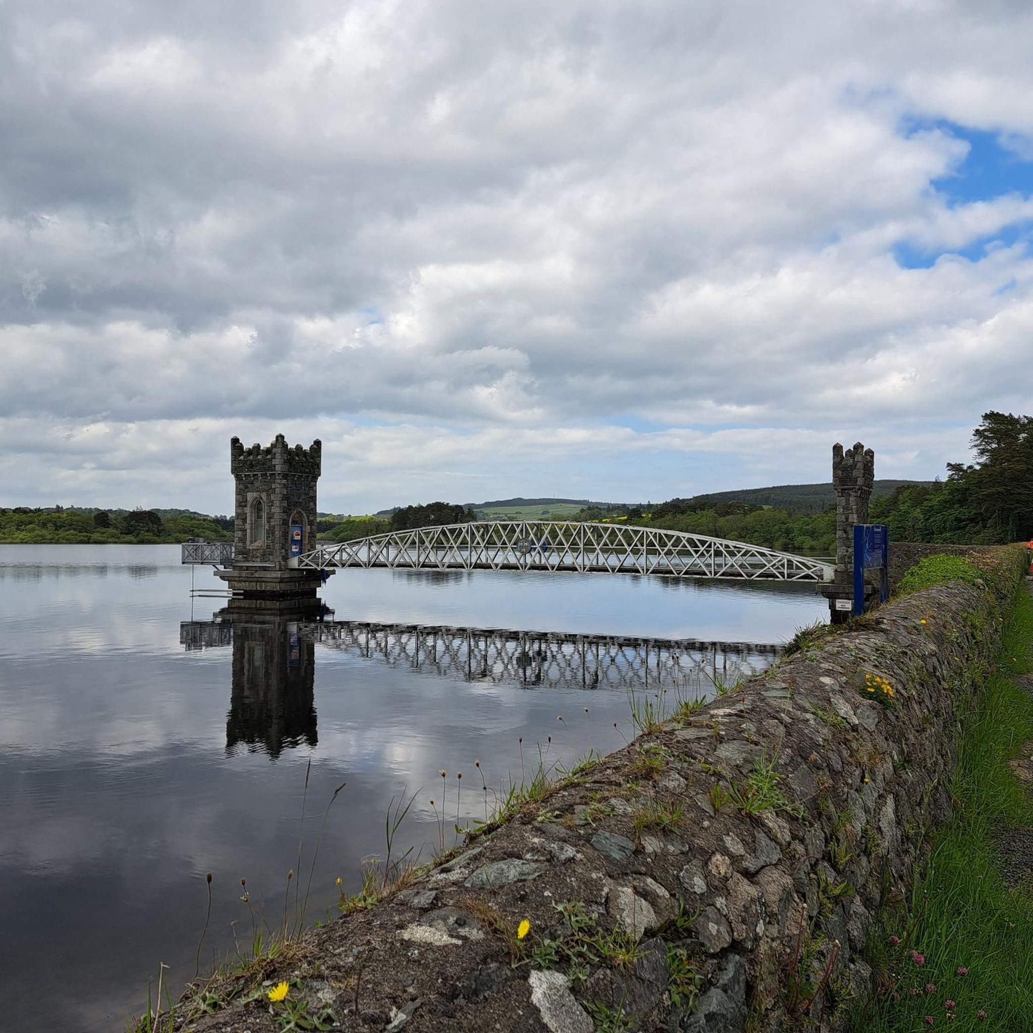
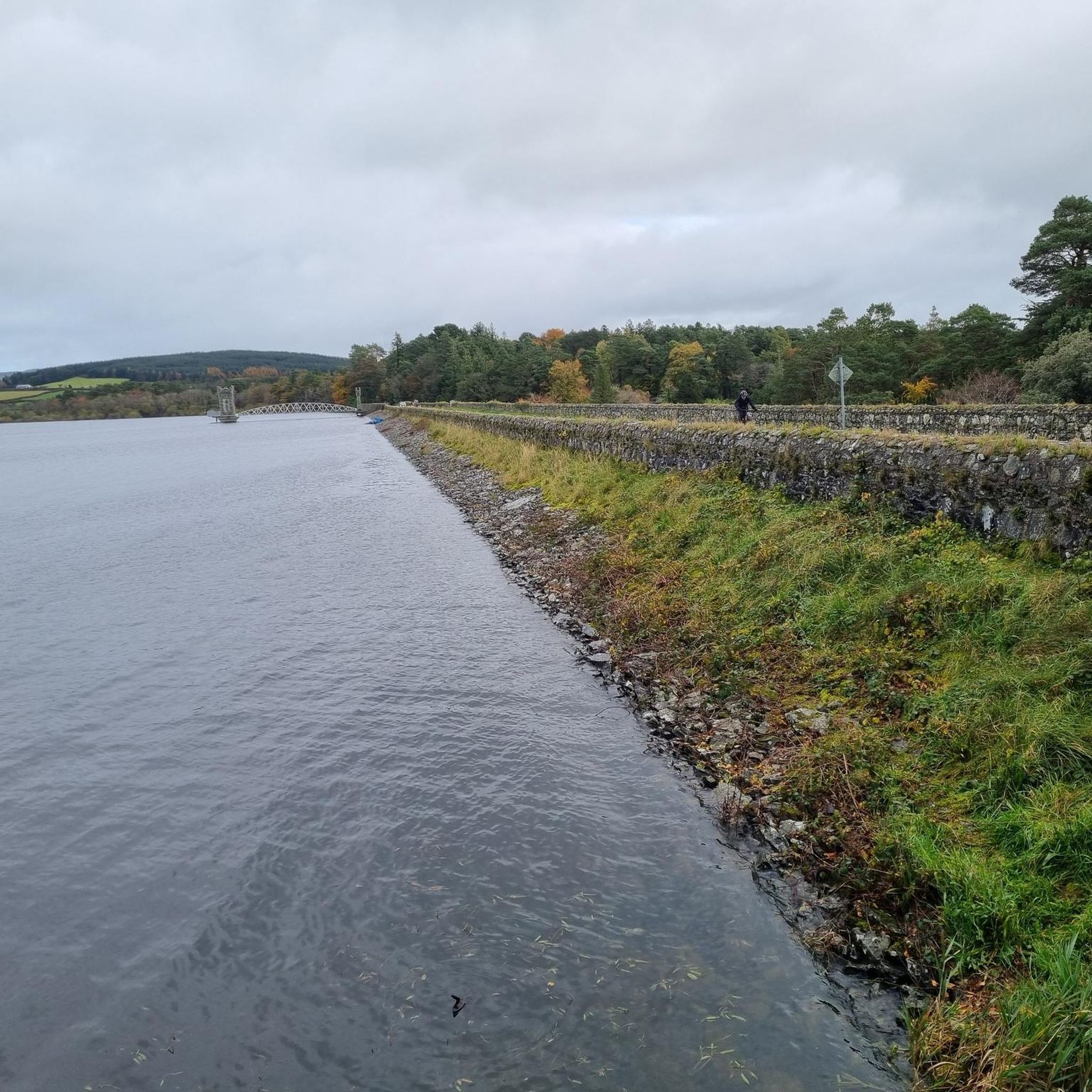
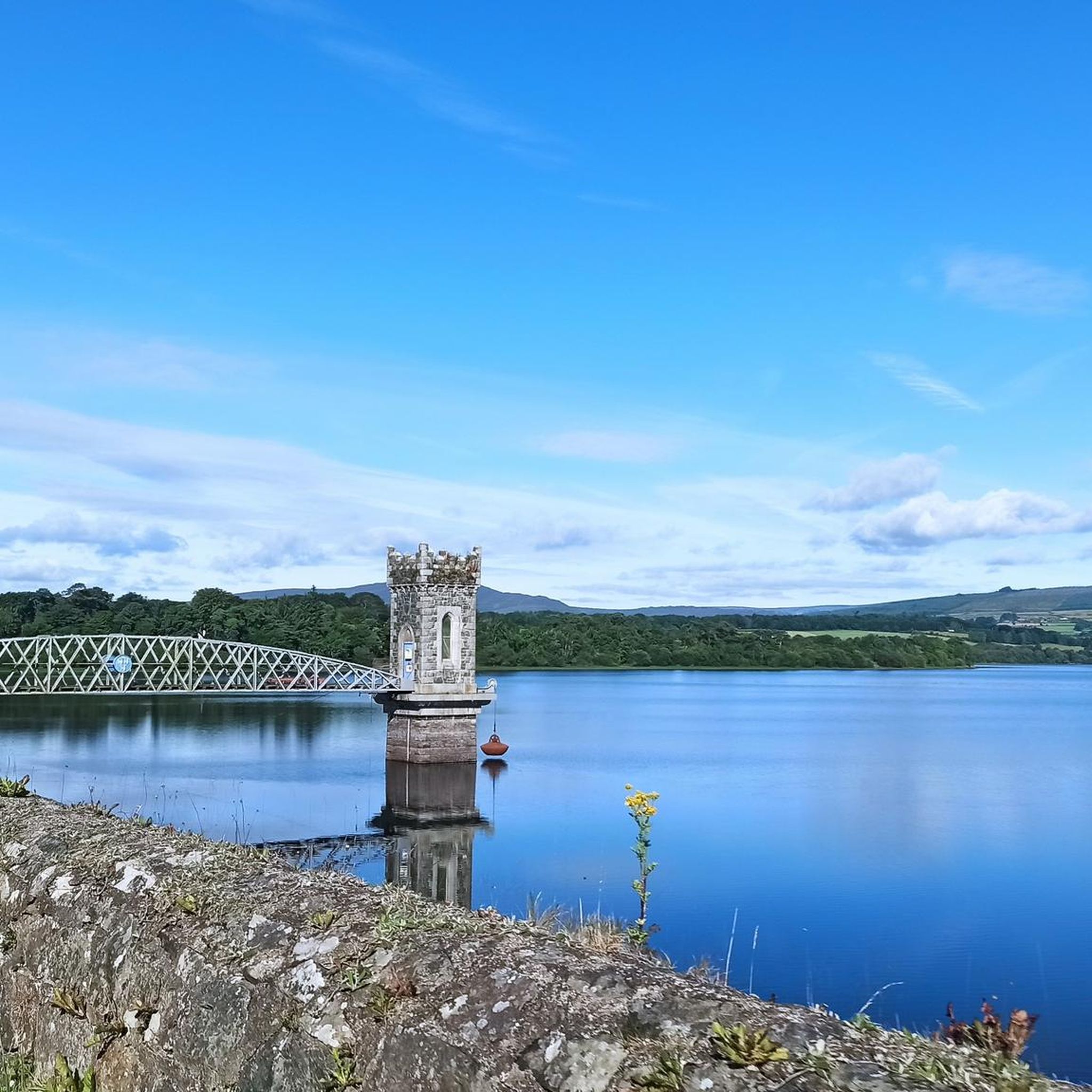
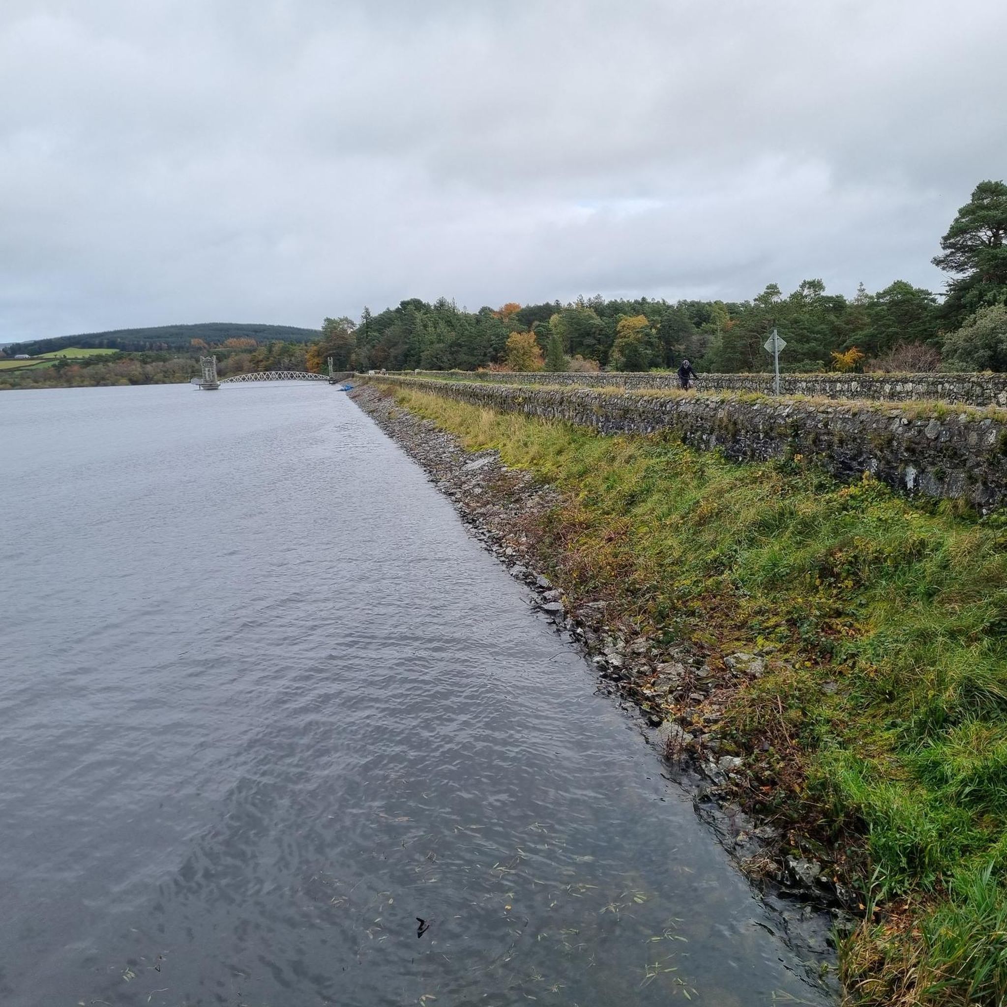
Touring cycling routes around Vartry Reservoir Lower are situated in County Wicklow, approximately 30km south of Dublin. The region features the Vartry Reservoir as a central natural feature, surrounded by country roads and the foothills of the Wicklow Mountains. Cyclists can expect routes that traverse lakeside paths and country roads, offering views across the water and towards distant peaks. The terrain includes both mostly paved surfaces and routes with significant elevation gains.
Best touring cycling routes around Vartry Reservoir Lower
- The most popular touring cycling route is Roundwood – Roundwood loop from Roundwood, a 25.6 miles (41.2 km) trail that takes 2 hours 41 minutes to complete. This route features varied terrain with significant elevation gain.
- Another top favourite among local touring cyclists is Victor's Way Meditation Garden – Ballinastoe MTB Trails loop from Roundwood, a moderate 11.0 miles (17.7 km) path. This route offers scenic views along lakeside paths and country roads.
- Local touring cyclists also love the Glendalough Monastic Site – Glendalough Round Tower loop from Roundwood, a 17.3 miles (27.9 km) trail leading through the surrounding countryside, often completed in about 1 hour 49 minutes.
- Touring cycling around Vartry Reservoir Lower is defined by lakeside paths, country roads, and views of the Wicklow Mountains. The network offers options for different ability levels, from moderate rides to more challenging routes with notable climbs.
- The routes in Vartry Reservoir Lower are highly rated by the komoot community with an average score of 4.9 stars from over 10 reviews. More than 300 touring cyclists have used komoot to explore Vartry Reservoir Lower's varied terrain.
Last updated: October 11, 2026
4.8
(6)
56
riders
41.1km
02:41
590m
590m
Hard bike ride. Very good fitness required. Mostly paved surfaces. Suitable for all skill levels.
18
riders
Moderate bike ride. Good fitness required. Mostly paved surfaces. Suitable for all skill levels.

14
riders
Hard bike ride. Very good fitness required. You may need to push your bike for some segments of this route.
5.0
(1)
7
riders
39.9km
03:36
1,060m
1,060m
Hard bike ride. Very good fitness required. You may need to push your bike for some segments of this route.
5.0
(2)
12
riders
27.9km
01:50
380m
380m
Moderate bike ride. Good fitness required. Mostly paved surfaces. Suitable for all skill levels.
Get access to more routes and recommendations from other explorers.
Already have an account?
Our route recommendations are based on thousands of hikes, rides, and runs completed by other people on komoot.
Start today with a free account
Your next adventure awaits.

Tips from the Community

A really great old monastery complex - there is a lot to see
0
0
A really great old monastery complex where there is a lot to discover.
0
0

Friendly service and plenty of space inside and outside.
8
0
The waterfall plunges in multiple stages, 80–100 meters, down a wide granite ledge. The combination of steep walls, open highlands, and the winding river below makes this one of the most dramatic panoramas in the entire R115 corridor.
6
0
Luggala Trailhead Parking Area Small parking area on the north side of Luggala, starting point for the short but steep hike to the viewpoint over Lough Tay. Direct access to open heathland and panoramic views.
4
0
Sally Gap, one of the highest and most open crossroads in the Wicklow Mountains. Here, the R759 and the Old Military Road (R115) intersect at over 500 meters altitude, in the middle of a vast moorland and heath landscape without buildings or shelter. The panorama is a full 360°: the dark bogs of Liffey Head Bog, the flanks of Kippure, the valleys towards Glencree, and the long, empty Military Road that runs like a pencil line through the highlands. This location is world-famous as a backdrop for films and series such as Braveheart, Vikings, and P.S. I Love You.
8
0

Large area with an ancient monastery settlement, hiking trails and 2 lakes.
0
0
Large area with an ancient monastery settlement, hiking trails, and 2 lakes.
0
0
Frequently Asked Questions
How many touring cycling routes are available around Vartry Reservoir Lower?
There are 37 touring cycling routes available around Vartry Reservoir Lower. These routes cater to various skill levels, with 13 moderate and 24 difficult options.
What kind of terrain can I expect on touring cycling routes in Vartry Reservoir Lower?
The terrain around Vartry Reservoir Lower includes both mostly paved surfaces and country roads, with some routes featuring significant elevation gains. You'll find lakeside paths offering splendid views across the water and towards the Wicklow Mountains.
Are there any family-friendly touring cycling routes in the area?
While the guide primarily lists moderate to difficult routes, the area offers a variety of trails. For a moderate touring cycling experience that offers scenic views along lakeside paths and country roads, consider the Victor's Way Meditation Garden – Ballinastoe MTB Trails loop from Roundwood, which is 17.7 km long.
What are some notable natural features or landmarks to look out for while cycling?
Cyclists can enjoy views of the Vartry Reservoir itself, which is a significant natural feature. The surrounding landscape offers glimpses of iconic peaks like Sugarloaf and Djouce Mountains. When water levels are low, an old bridge that once spanned the River Vartry becomes visible.
Are there any circular touring cycling routes around Vartry Reservoir Lower?
Yes, many of the touring cycling routes in the area are loops. For example, the Roundwood – Roundwood loop from Roundwood is a popular 41.2 km circular route with varied terrain and significant elevation gain.
What do other touring cyclists say about the routes in Vartry Reservoir Lower?
The touring cycling routes in Vartry Reservoir Lower are highly rated by the komoot community, with an average score of 4.9 stars from over 10 reviews. Cyclists often praise the beautiful natural setting, the stunning water views, and the diverse range of routes catering to different fitness levels.
What is the best time of year to go touring cycling in Vartry Reservoir Lower?
The Vartry Reservoir Lower area is accessible year-round. However, for the most pleasant touring cycling experience, spring and autumn generally offer milder weather and beautiful scenery. Always check local weather conditions before heading out, especially during winter months.
Are there any routes that pass by waterfalls?
Yes, there is a challenging route that takes you towards a notable waterfall. The View of Powerscourt Waterfall – View From the Bridge loop from Roundwood is a difficult 41.9 km route that includes views of Powerscourt Waterfall.
How accessible is Vartry Reservoir Lower by public transport from Dublin?
Vartry Reservoir Lower is approximately 30km south of Dublin, making it a refreshing escape. While direct public transport options specifically for cyclists might be limited, the area is generally considered accessible from Dublin for a day trip or touring cycling adventure. For detailed public transport information, it's advisable to check local bus schedules or plan your journey to Roundwood Village.
What is the longest touring cycling route available?
The longest touring cycling route listed is the Wicklow Railway Station – Roundwood loop from Roundwood. This difficult route spans nearly 70 km and typically takes over 4 hours to complete, offering an extensive exploration of the region.
Can I spot wildlife while cycling around Vartry Reservoir Lower?
Yes, the natural surroundings of Vartry Reservoir Lower offer opportunities for wildlife spotting. The 'Woodland Trail' in particular, which passes through towering 100-year-old Scots Pines, is known for sightings of birds such as Great Crested Grebes.
Are there any historical sites or points of interest near the cycling routes?
Beyond the natural beauty, you can find historical points of interest. An historic Ballaun Stone, a hollowed-out stone possibly moved from a monastic site, can be found near the water's edge. Additionally, the Glendalough Monastic Site – Glendalough Round Tower loop from Roundwood takes you through countryside leading to the ancient Glendalough Monastic Site.
Most popular routes around Vartry Reservoir Lower
Most popular attractions around Vartry Reservoir Lower

Get inspired with the komoot mobile app


