The best road cycling routes around Vartry Reservoir Lower
4.8
(11)
792
riders
45
rides
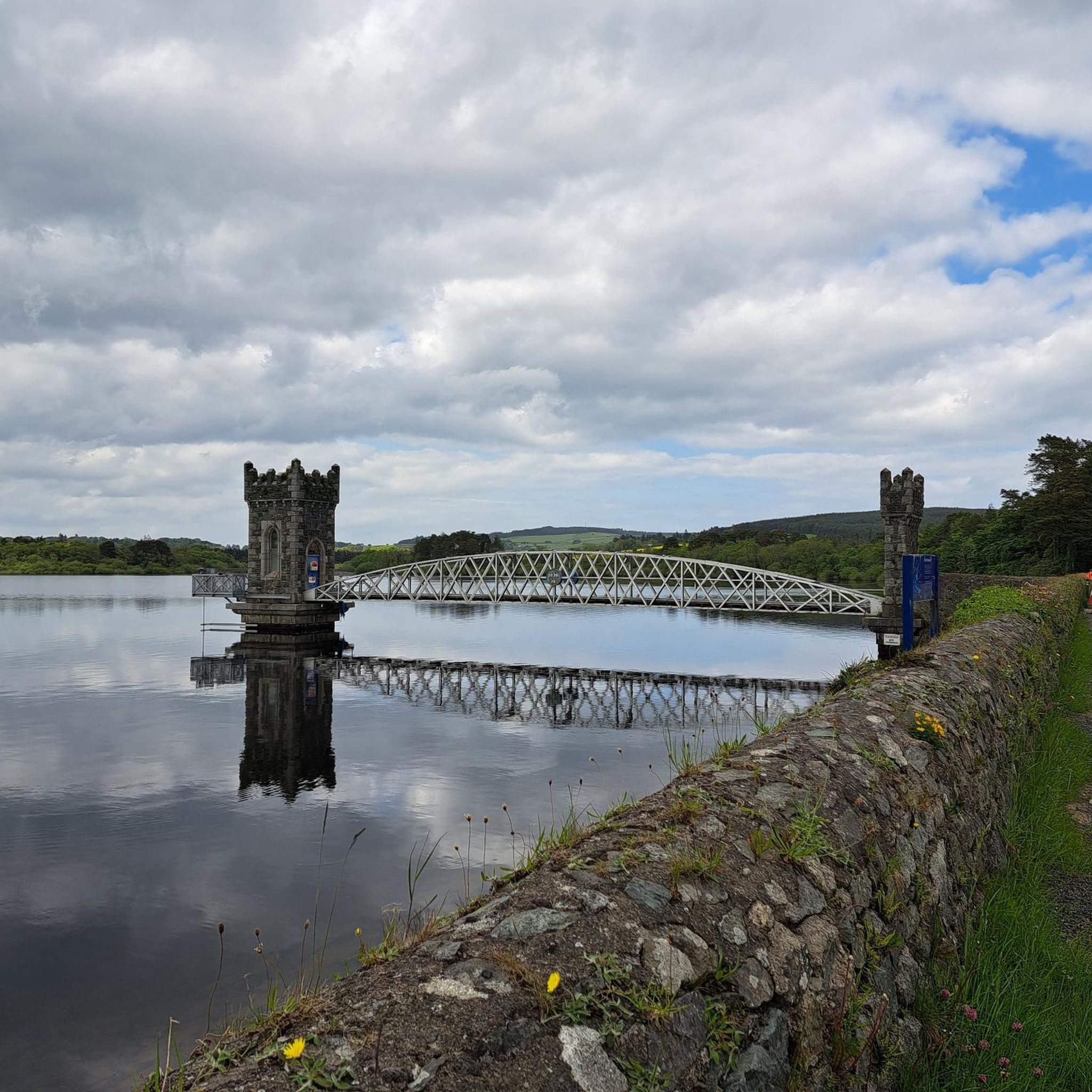
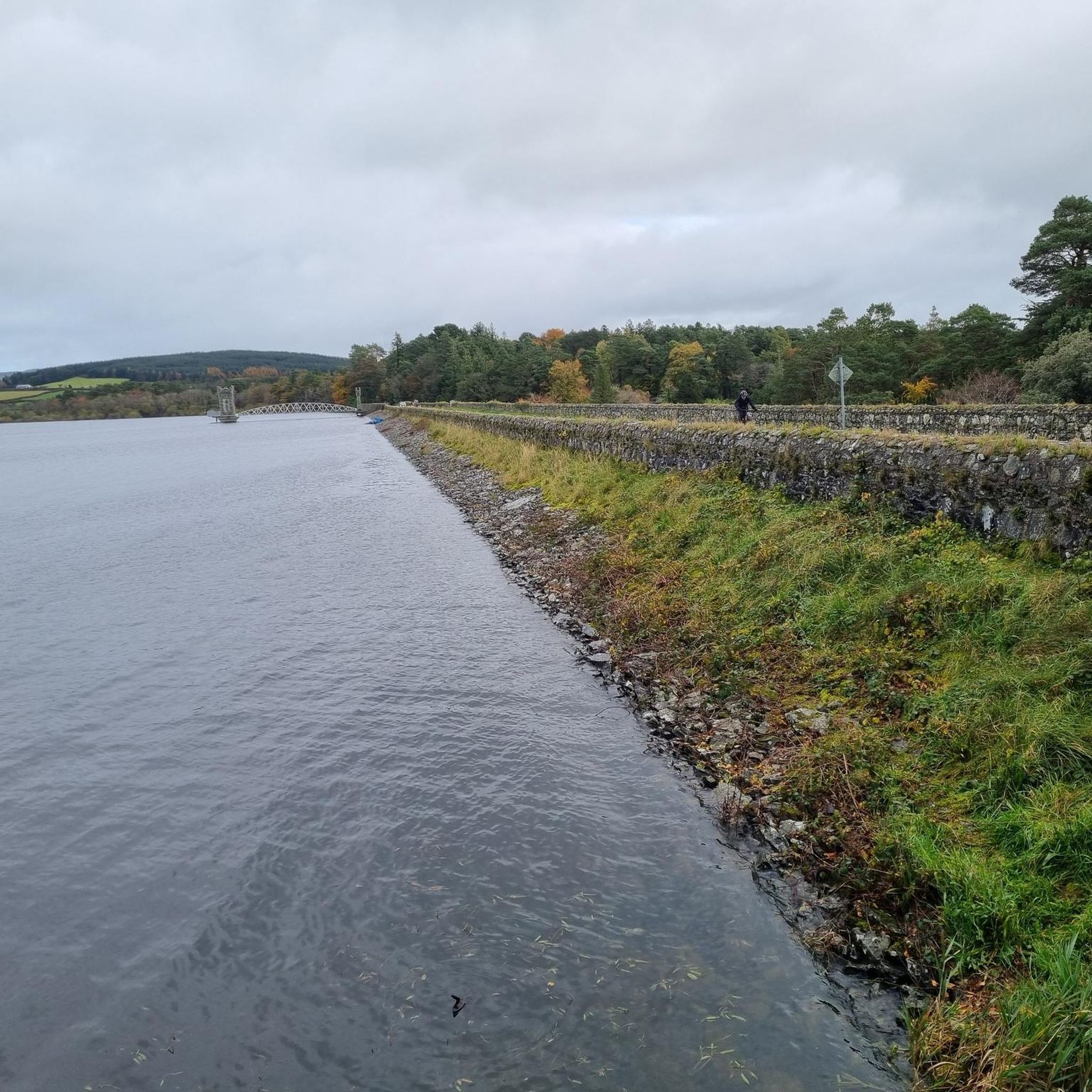
Road cycling around Vartry Reservoir Lower offers routes through a landscape characterized by the reservoir itself, alongside smooth rural roads and into the foothills of the Wicklow Mountains. The area features a mix of gentle gradients near the water and more challenging climbs leading towards mountain passes and glens. Road cyclists can expect varied terrain, from open countryside to sections with views of natural features like waterfalls.
Best road cycling routes around Vartry Reservoir Lower
- The most popular road cycling…
Last updated: July 8, 2026
42
riders
101km
05:02
1,540m
1,540m
Hard road ride. Very good fitness required. Mostly well-paved surfaces and easy to ride.
4
riders
11.4km
00:33
120m
120m
Easy road ride. Great for any fitness level. Mostly well-paved surfaces and easy to ride.

Sign up for free
5.0
(1)
97
riders
60.9km
03:34
1,170m
1,170m
Hard road ride. Very good fitness required. Some segments of this route may be unpaved and difficult to ride.
50
riders
67.7km
03:46
1,390m
1,390m
Hard road ride. Very good fitness required. Some segments of this route may be unpaved and difficult to ride.
5.0
(1)
10
riders
53.6km
02:32
710m
710m
Moderate road ride. Good fitness required. Some segments of this route may be unpaved and difficult to ride.
Get access to more routes and recommendations from other explorers.
Sign up for free
Already have an account?
Our route recommendations are based on thousands of hikes, rides, and runs completed by other people on komoot.
Start today with a free account
Your next adventure awaits.
Login or Signup

Tips from the Community

Friendly service and plenty of space inside and outside.
8
0
The Glenmacnass Waterfall cascades 80–100 metres down several broad steps into a carved U‑shaped valley, one of the wildest landscapes in the Wicklow Mountains. From the R115, you have a frontal view of the granite ledge over which the water falls, with open moorland, peat slopes, and the river winding its way towards Laragh.
8
0
The waterfall plunges in multiple stages, 80–100 meters, down a wide granite ledge. The combination of steep walls, open highlands, and the winding river below makes this one of the most dramatic panoramas in the entire R115 corridor.
6
0
Sally Gap, one of the highest and most open crossroads in the Wicklow Mountains. Here, the R759 and the Old Military Road (R115) intersect at over 500 meters altitude, in the middle of a vast moorland and heath landscape without buildings or shelter. The panorama is a full 360°: the dark bogs of Liffey Head Bog, the flanks of Kippure, the valleys towards Glencree, and the long, empty Military Road that runs like a pencil line through the highlands. This location is world-famous as a backdrop for films and series such as Braveheart, Vikings, and P.S. I Love You.
8
0

Just off the Military Road above Glenmalure, you'll find this nice little cascade on the Ballyboy Brook. From here, it's just a short walk to the Glenmalure Lodge for accommodation and refreshments. A short way further north are the more impressive Coolalingo Waterfalls.
0
0


End of route, perfect location to finish the hike, eat or drink something before to leave.
0
0
Frequently Asked Questions
How many road cycling routes are available around Vartry Reservoir Lower?
There are over 45 road cycling routes available in the Vartry Reservoir Lower area, catering to various skill levels and preferences.
Are there road cycling routes suitable for beginners or families?
Yes, the region offers several easy routes perfect for beginners or families. A great option is the Vartry Reservoir – Smooth Rural Road loop from Vartry Reservoir Lower, which is a pleasant 7.1-mile circuit directly around the reservoir on rural roads.
What kind of challenging road cycling routes can I find in the area?
For experienced cyclists seeking a challenge, the Vartry Reservoir Lower area provides difficult routes with significant elevation gain, particularly towards the Wicklow Mountains. An example is the Sally Gap and Slieve Man loop from Roundwood, a demanding 62.9-mile path featuring the notable Sally Gap.
Are there any circular road cycling routes around Vartry Reservoir Lower?
Yes, many of the routes are circular, allowing you to start and finish at the same point. The Vartry Reservoir – Smooth Rural Road loop is a prime example, offering a complete circuit around the reservoir.
What natural landmarks or attractions can I see along the road cycling routes?
Road cycling routes often provide views of the Vartry Reservoir itself. You might also pass by the Grass Beach at Vartry Reservoir or the Drift Boat Mooring. Further afield, routes like the Glenmacnass Waterfall – Sally Gap loop lead past natural features like waterfalls and through mountain passes.
What do other road cyclists enjoy most about road cycling in Vartry Reservoir Lower?
The area is highly rated by the komoot community, with an average score of 4.8 stars. Reviewers often praise the varied terrain, from smooth rural roads around the reservoir to challenging climbs in the Wicklow Mountains, and the scenic views of natural features.
Is it possible to road cycle in Vartry Reservoir Lower during winter?
While road cycling is possible year-round, conditions in winter can be challenging, especially on higher mountain passes like Sally Gap, which may experience ice or snow. Lower routes around the reservoir are generally more accessible, but always check local weather forecasts and road conditions before heading out.
Are there any moderate difficulty road cycling routes available?
Yes, a significant number of routes, around 30, are classified as moderate. An example is the Rathdrum – Glendalough Grocery loop from Vartry Reservoir Upper, which offers a balanced challenge without the extreme climbs of the most difficult routes.
What are the typical road conditions like around Vartry Reservoir Lower?
Road conditions vary. Around the reservoir, you'll find smooth rural roads. As you venture towards the Wicklow Mountains, roads can become more winding with steeper gradients. Generally, the surfaces are suitable for road bikes, but always be mindful of local traffic and potential debris, especially after adverse weather.
Can I find longer road cycling routes that explore more of the Wicklow Mountains?
Absolutely. Routes like the Glendalough Grocery – Wicklow Way loop from Vartry Reservoir Upper offer extensive journeys, covering over 42 miles (68 km) and featuring significant elevation gain as they delve deeper into the Wicklow Mountains.
What is the best time of year to go road cycling around Vartry Reservoir Lower?
Spring and autumn generally offer the most pleasant conditions for road cycling, with milder temperatures and beautiful scenery. Summer is also popular, though routes can be busier. Always be prepared for changeable weather, as is typical for the region.
Most popular routes around Vartry Reservoir Lower
Most popular attractions around Vartry Reservoir Lower

Get inspired with the komoot mobile app


