The best road cycling routes around Lake Sherwood
4.5
(13)
2,107
riders
79
rides
Road cycling routes around Lake Sherwood, California, are situated within the Santa Monica Mountains, offering diverse terrain and significant elevation gains. The region features well-paved roads that wind through hillsides dotted with oak trees, vineyards, and ranches. Cyclists can experience scenic views of the lake and surrounding natural landscapes, including wooded hills and farmland. This area provides a range of routes suitable for various fitness levels.
Best road cycling routes around Lake Sherwood
- The most popular road cycling route is…
Last updated: July 10, 2026
221
riders
72.8km
03:44
1,060m
1,060m
Hard road ride. Very good fitness required. Mostly well-paved surfaces and easy to ride.
5.0
(2)
110
riders
34.4km
01:59
640m
640m
Moderate road ride. Good fitness required. Mostly well-paved surfaces and easy to ride.

Sign up for free
5.0
(1)
206
riders
66.2km
03:48
1,400m
1,400m
Hard road ride. Very good fitness required. Mostly well-paved surfaces and easy to ride.
108
riders
66.7km
03:35
1,270m
1,270m
Hard road ride. Very good fitness required. Some segments of this route may be unpaved and difficult to ride.
86
riders
105km
05:47
2,140m
2,140m
Hard road ride. Very good fitness required. Mostly well-paved surfaces and easy to ride.
Get access to more routes and recommendations from other explorers.
Sign up for free
Already have an account?
Our route recommendations are based on thousands of hikes, rides, and runs completed by other people on komoot.
Start today with a free account
Your next adventure awaits.
Login or Signup

Tips from the Community

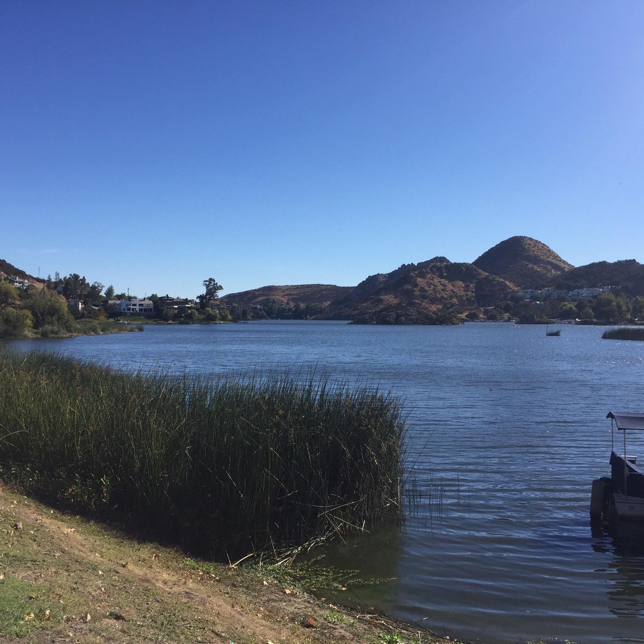
Lake Sherwood Drive takes you out along the water, and though the shoulder isn't great, there is a space for bikes and cars to pull over and enjoy the view.
0
0

Dan Blocker Beach, a 15.2-acre stretch of bluff and beach with over a mile of ocean frontage, attracts surfers and divers. Visitors also go swimming, fishing, and soak up the sun on this sandy, narrow beach. In 2014, the county added a public viewing area, parking, ADA-compliant restrooms, ocean-facing benches, and picnic tables.
1
0

Lake Sherwood is California's oldest man-made lake but very beautiful
5
0

Escondido Beach in California entices cyclists with its secluded cove and pristine shoreline. Tucked away from the bustle, it offers a serene spot for riders to unwind, bask in the sun, and take a refreshing dip in the Pacific Ocean. The stunning coastal scenery provides a picturesque backdrop for a peaceful break.
0
0
As you traverse these extensive stretches of beachfront obstructed by private estates, you may find solace in the modest confines of this narrow rocky shore in Malibu. Dubbed Big Rock Beach, it earns its name from the sizable rock formation just offshore, a haven for seabirds and basking seals. Thanks to California's public beach laws, the entirety of Big Rock Beach remains accessible to all, as the mean high tide delineates its boundary. During lower tides, the sandy expanse expands, revealing a wider beachfront flanked by waterfront residences.
0
0

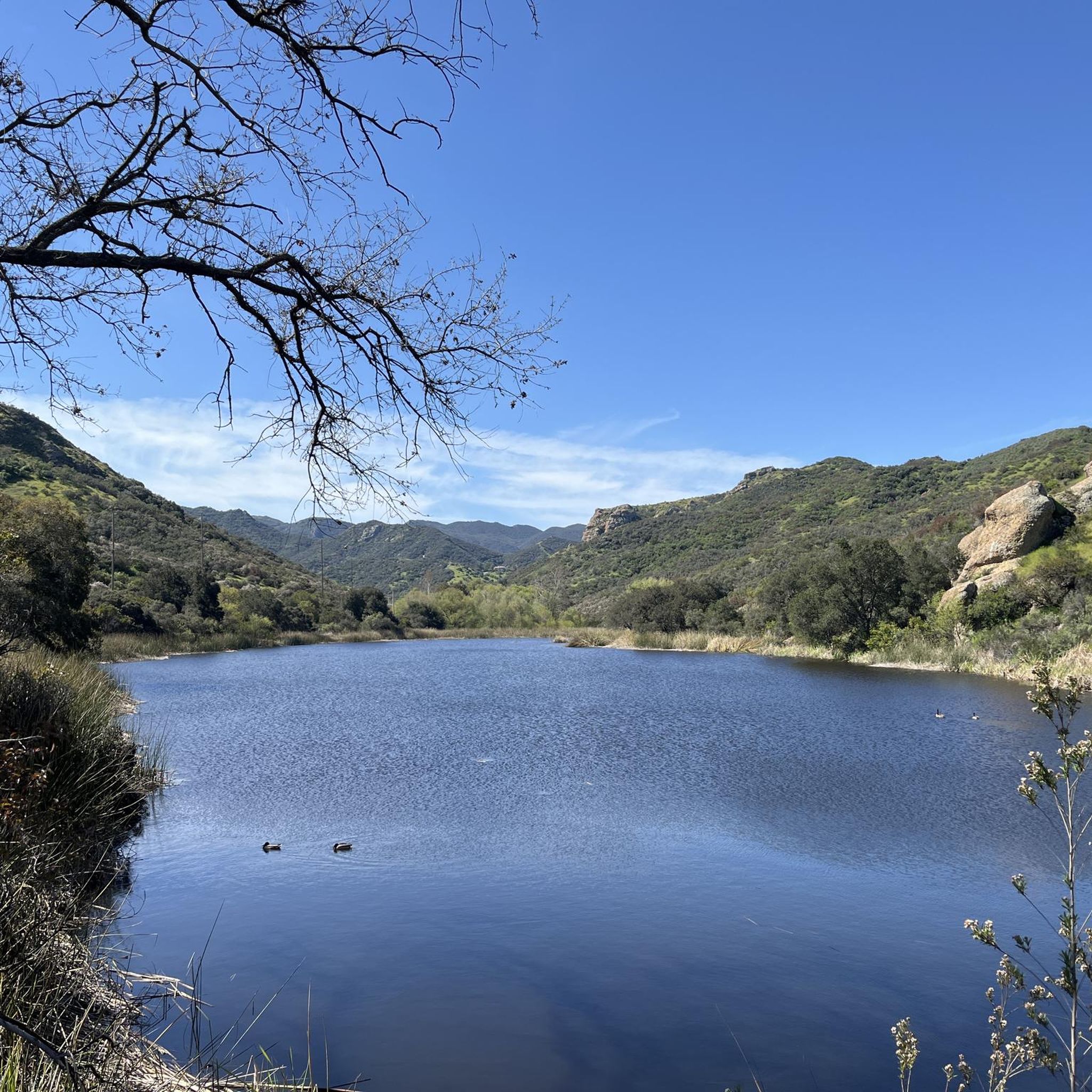
Malibu Creek State Park opened in 1976 and features 8,000 acres of rolling plains, oak savannahs, and dramatic peaks. The incredible terrain of the park has been featured in numerous movies and television shows.
0
0
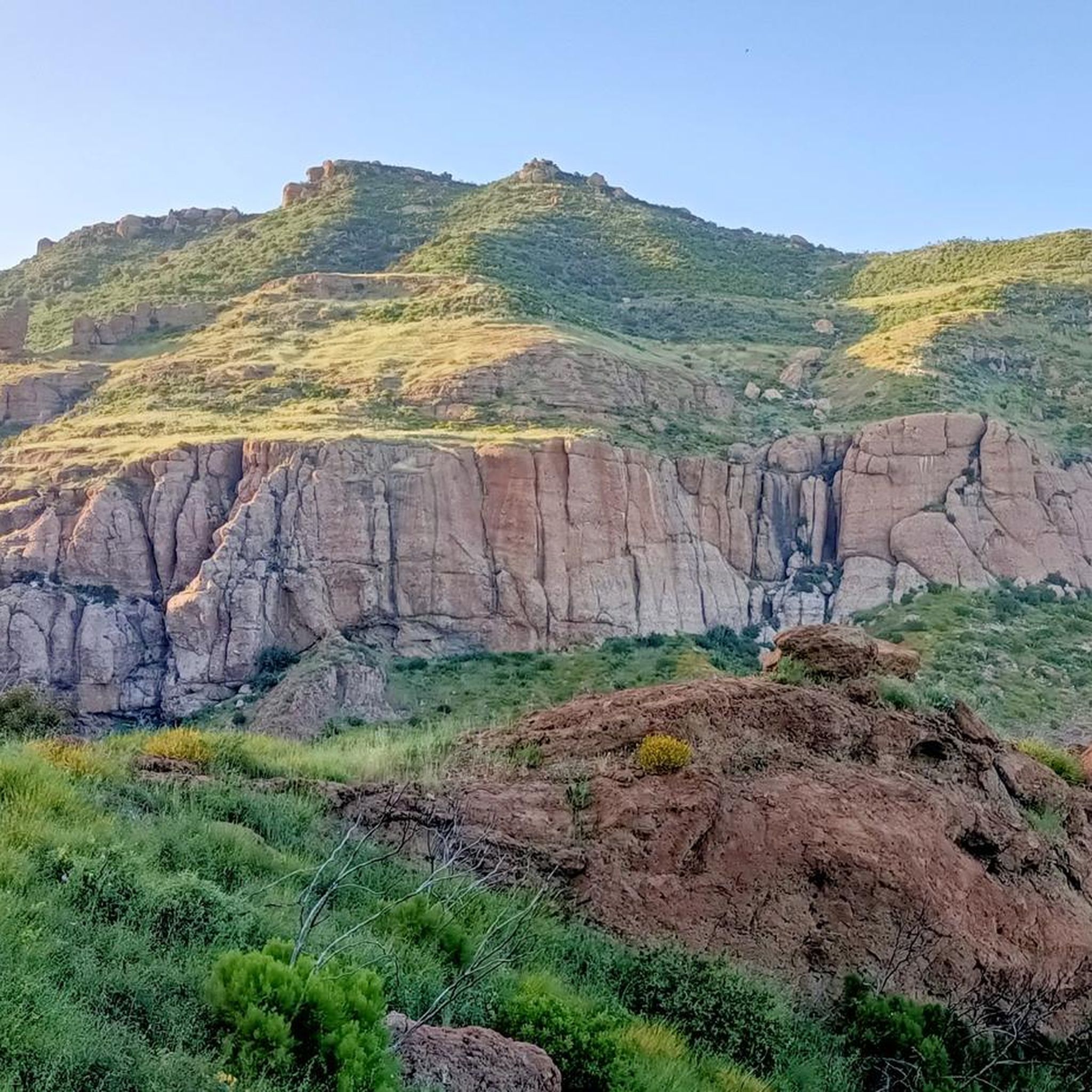
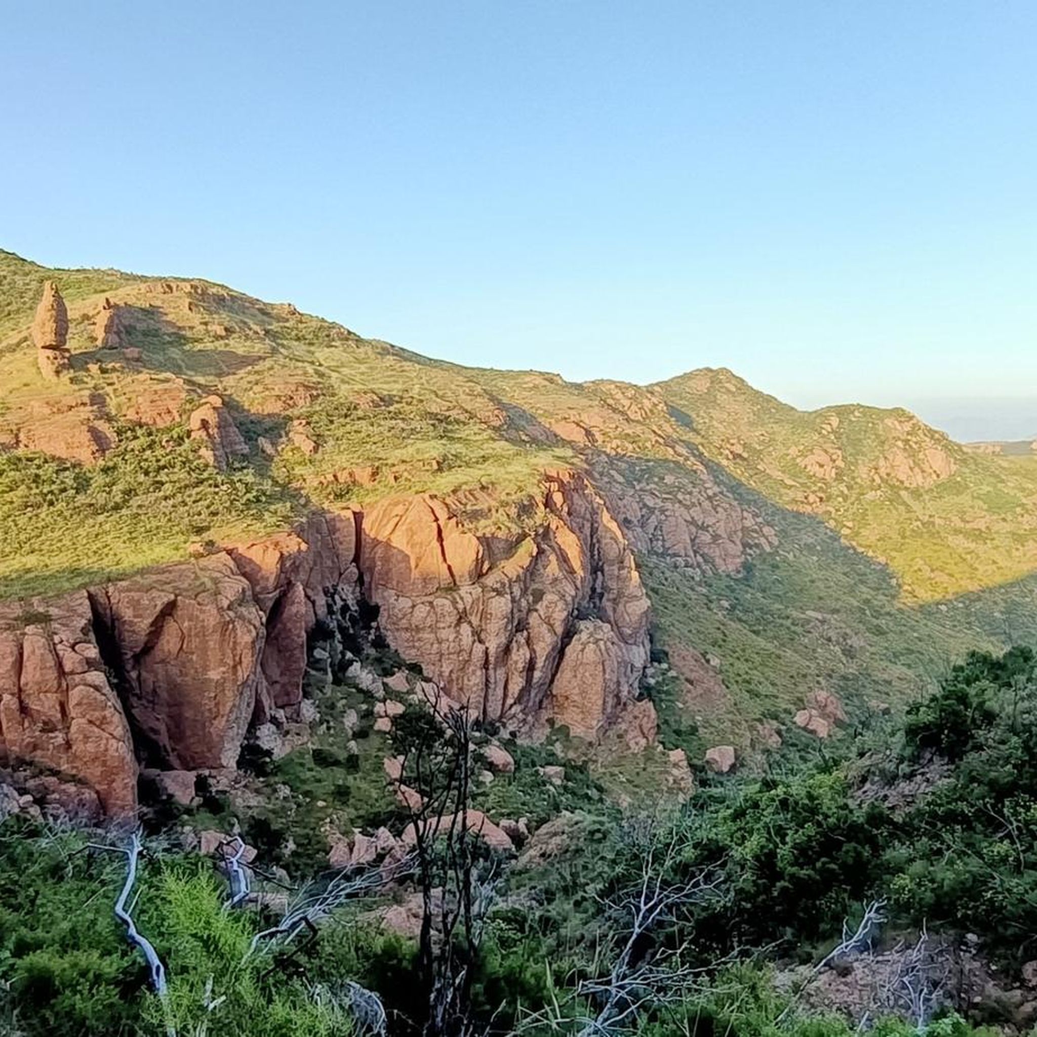
Point Mugu State Park is located in the Santa Monica Mountains and offers five miles of ocean shoreline, rugged hills, grassy valleys, and two major river canyons. The park also includes the jagged pinnacles of the Boney Mountains State Wilderness Area.
0
0

It is our tradition to visit a high mountain on the first day of the new year. The sattle peak view point is 720 m above sea level and provides an outstanding view to the pacific ocean and to the valley. It is great for a short holiday walk.
0
0
Frequently Asked Questions
What kind of terrain can I expect when road cycling around Lake Sherwood?
Road cycling around Lake Sherwood, California, offers diverse terrain within the Santa Monica Mountains. You'll find well-paved roads winding through hillsides dotted with oak trees, vineyards, and ranches. Routes range from those with significant elevation gains, providing challenging climbs, to more moderate paths with scenic views of the lake and surrounding natural landscapes.
Are there routes suitable for beginners or those looking for an easier ride?
Yes, Lake Sherwood offers routes for various fitness levels. For an easier ride, consider the Malibou Lake – Malibu Lake Vista loop from Westlake High School. This route is rated as easy, covering 17.2 miles (27.7 km) with a moderate elevation gain, making it a good option for those seeking a less strenuous experience.
What are some of the most scenic road cycling routes in the Lake Sherwood area?
Many routes offer stunning scenery. The Lake Sherwood – West Potrero Road loop from Westlake High School is highly praised for its beautiful views of mountains, ranches, and farmland. Additionally, routes like the Point Mugu loop provide diverse terrain and ocean views, while the Malibu Creek State Park loop offers varied experiences adjacent to Malibou Lake.
How many road cycling routes are available in the Lake Sherwood region?
The Lake Sherwood area features over 70 road cycling routes, catering to a wide range of abilities. This includes 15 easy routes, 43 moderate routes, and 16 difficult routes, ensuring there's something for every cyclist.
What kind of landmarks or natural features can I see along the cycling routes?
The routes traverse the scenic Santa Monica Mountains, offering views of Lake Sherwood itself, as well as vineyards, oak trees, and ranches. You might also encounter natural monuments such as Paradise Falls or Sycamore Falls. For panoramic vistas, consider routes near Inspiration Point or Sandstone Peak.
What do other cyclists say about road cycling in Lake Sherwood?
The komoot community highly rates road cycling in Lake Sherwood, with an average score of 4.8 stars from over 10 reviews. More than 2,000 road cyclists have used komoot to explore the varied terrain, often praising the well-maintained roads, scenic mountain and lakeside vistas, and the range of routes available for different ability levels.
Are there any challenging routes for experienced road cyclists?
Absolutely. For experienced cyclists seeking a challenge, the Point Mugu loop is a difficult 45.2 miles (72.8 km) route with significant climbs and ocean views. Another demanding option is the Dan Blocker Beach – Escondido Beach loop from Westlake High School, which features substantial elevation gains over its 41.1 miles (66.2 km).
What is the best time of year to go road cycling around Lake Sherwood?
The Lake Sherwood area in Southern California generally offers pleasant cycling conditions for much of the year. Spring and fall typically provide mild temperatures and clear skies, ideal for longer rides. While summers can be warm, early mornings are often suitable. Winters are usually mild, though occasional rain might occur.
Are there any loop routes available for road cyclists?
Yes, many of the road cycling routes around Lake Sherwood are designed as loops. Popular examples include the Point Mugu loop, the Malibu Creek State Park loop, and the Lake Sherwood – West Potrero Road loop from Westlake High School, all offering circular journeys back to your starting point.
Can I find cafes or places to stop for refreshments near the cycling routes?
While specific cafes directly on every route are not detailed, the Lake Sherwood area is part of a developed region. You can typically find various amenities, including cafes and restaurants, in the nearby communities and towns surrounding the lake, which are often accessible from the cycling routes.
Is public transport available to access the road cycling routes around Lake Sherwood?
Public transport options directly to specific trailheads around Lake Sherwood may be limited, as the area is primarily accessed by car. Cyclists often drive to a convenient starting point, such as Westlake High School, which serves as a common departure point for several routes, and then begin their ride from there.
Most popular attractions around Lake Sherwood

Get inspired with the komoot mobile app


Explore more
Browse the best Road cycling routes in other regions.
