The best walks and hikes around Lake Sherwood
4.8
(88)
1,323
hikers
142
hikes
Hiking trails around Lake Sherwood are situated within the Santa Monica Mountains in Southern California, characterized by rolling hills, open spaces, and scenic views. The region features the Lake Sherwood Reservoir, a body of water naturally fed by surrounding watershed mountains and natural springs. This landscape offers a mix of varied terrain, from gentle paths through open spaces to more challenging routes with elevation changes.
Best hiking trails around Lake Sherwood
- The most popular hiking route is Balanced Rock via Mishe Mokwa Trail — Circle X Ranch, a 4.3 miles (6.9 km) trail that takes 2 hours 6 minutes to complete. This moderate route offers varied terrain within the Santa Monica Mountains.
- Another top favourite among local hikers is White Horse Canyon Trail loop — South Ranch Open Space, an easy 3.0 miles (4.8 km) path. This trail provides scenic views through open space.
- Local hikers also love the Triunfo Canyon Trail loop — South Ranch Open Space, a 2.2 miles (3.5 km) trail leading through open space, often completed in about 1 hour 3 minutes.
- Hiking around Lake Sherwood is defined by rolling hills, open spaces, and views of the Lake Sherwood Reservoir. The network offers options for different ability levels, from easy loops to moderate climbs.
- The routes in Lake Sherwood are highly rated by the komoot community with an average score of 4.8 stars from more than 70 reviews. More than 1200 hikers have used komoot to explore Lake Sherwood's varied terrain.
Last updated: June 3, 2026
5.0
(2)
6
hikers
27.2km
08:09
630m
1,250m
Hard hike. Very good fitness required. Easily-accessible paths. Suitable for all skill levels.
5.0
(2)
3
hikers
17.6km
05:06
480m
470m
Hard hike. Very good fitness required. Easily-accessible paths. Suitable for all skill levels.

Sign up for free
2
hikers
9.61km
02:53
300m
300m
Moderate hike. Good fitness required. Easily-accessible paths. Suitable for all skill levels.
1
hikers
5.47km
01:41
200m
190m
Easy hike. Great for any fitness level. Easily-accessible paths. Suitable for all skill levels.
2.81km
00:52
130m
50m
Easy hike. Great for any fitness level. Easily-accessible paths. Suitable for all skill levels.
Get access to more routes and recommendations from other explorers.
Sign up for free
Already have an account?
Our route recommendations are based on thousands of hikes, rides, and runs completed by other people on komoot.
Start today with a free account
Your next adventure awaits.
Login or Signup
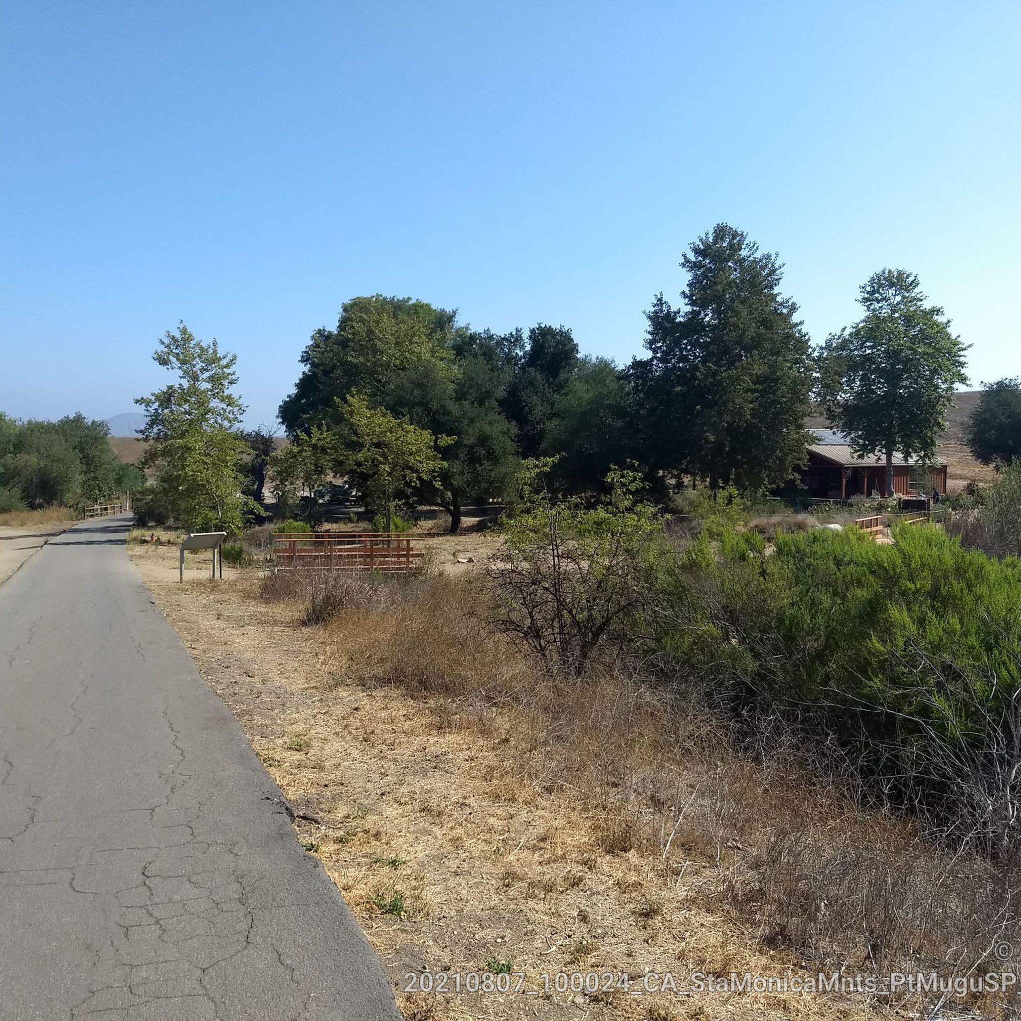
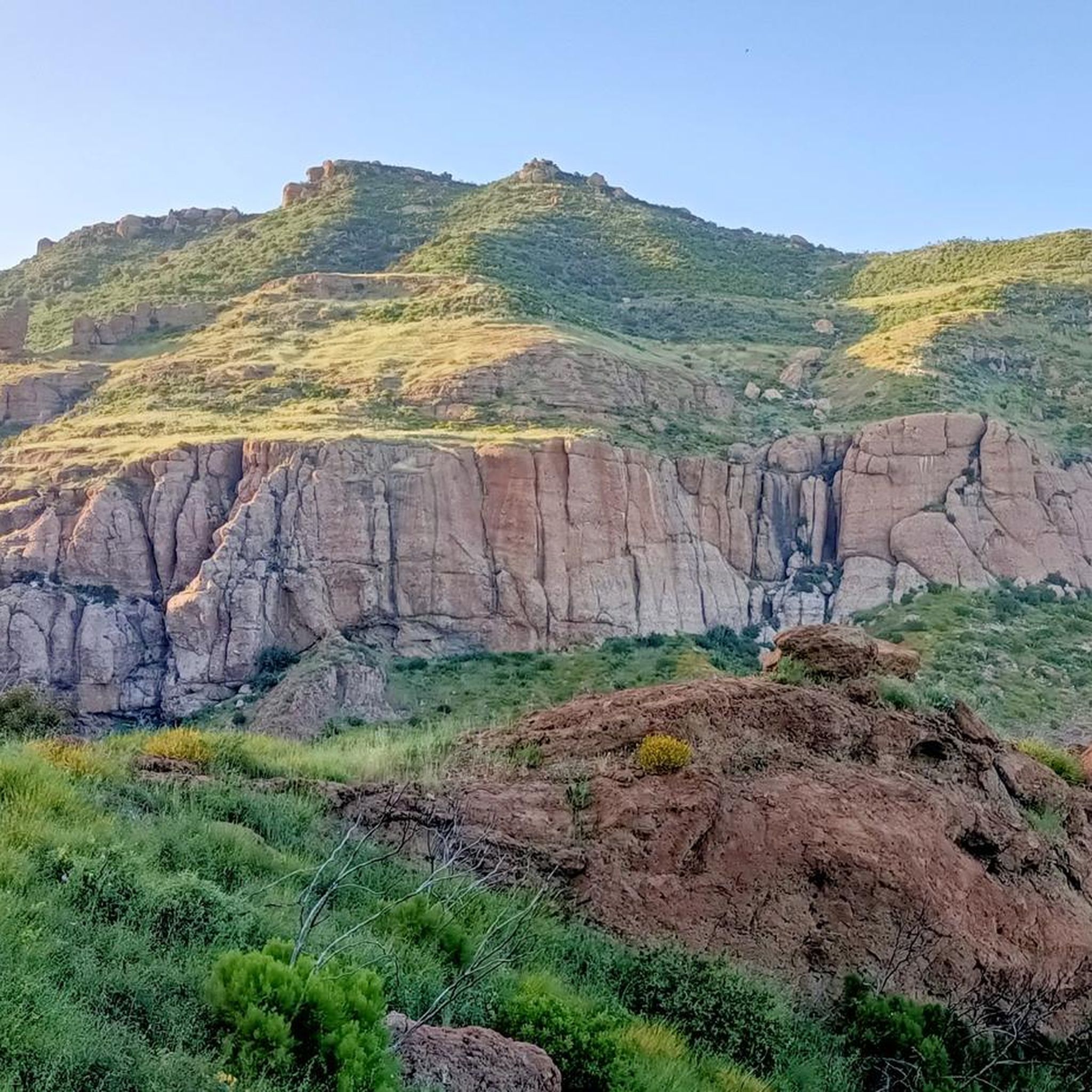
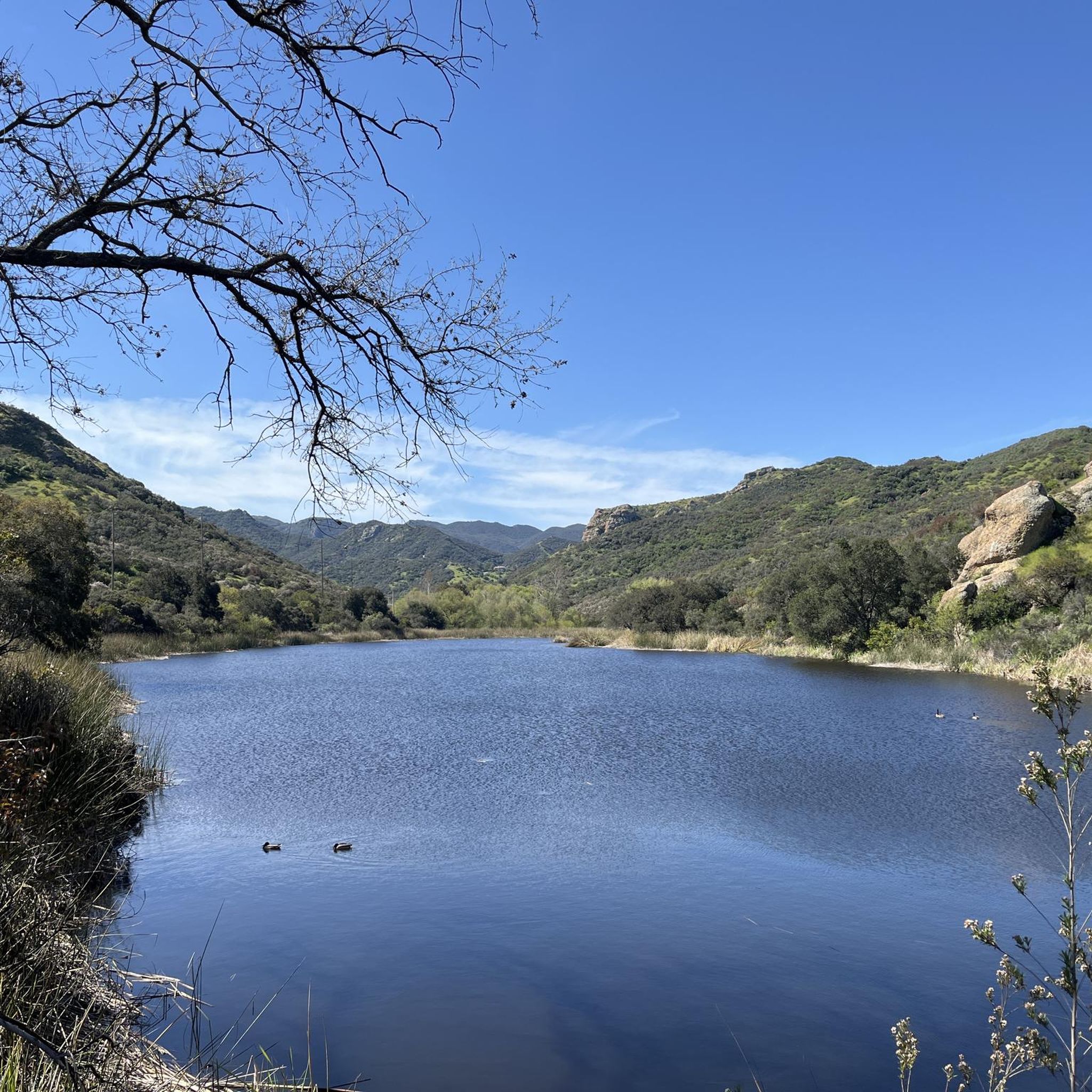
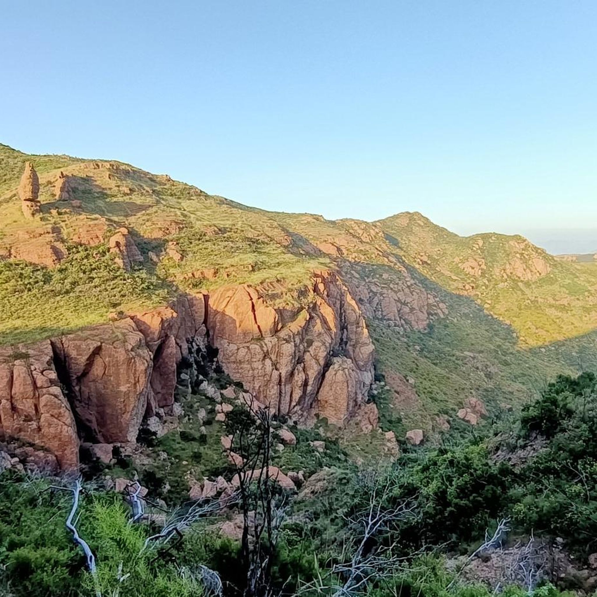

Tips from the Community

The Wood Canyon Vista and Backbone Trailhead has a picnic table and water source. There are no reliable water sources along the trails, so make sure you are prepared before starting.
0
0

The Hope Nature Preserve is located just outside of Thousand Oaks. It is a beautiful recreation area with stunning views of the surrounding area and home of the Los Robles Trail.
0
0

Conejo Ridge Open Space includes relatively undisturbed chaparral, oak woodlands, and coastal sage scrub. The open space provides important habitat for deer, mountain lions, bobcats, and other wildlife.
0
0
As you hike along the Rosewood Trail, you can enjoy ridgeline views of the surrounding open space. The view woulld be best on a clear day and there is a descent amount of shade relative to being in SoCal.
0
0
Inspiration Point is located between Exchange Peak and Boney Peak and the view to the ocean is amazing. To get there, you need to take a little detour from Backbone Trail but as you are already at high altitude, there aren't many meters of altitude left.
1
0

You start from Mishe Mokwa Parking Lot and hike towards Split Rock. On the right sight on the other side of the valley is the Balanced Rock.
0
0

One of the fun single tracks, particularly downhill, Old Boney Trail connects the Boney Mountain summit area with Sycamore Canyon, going roughly north-east down to the south-west. Only when looking back you might notice a sign advising against bike use, the trail itself is generally firm and shows no sign of any issues.
0
0

Good trail for running. Pay attentions to bigger rocks on you way.
0
1
Frequently Asked Questions
How many hiking trails are available around Lake Sherwood?
There are over 100 hiking trails around Lake Sherwood. The network offers a variety of options, including 55 easy routes, 41 moderate trails, and 7 more challenging paths, catering to different skill levels.
Are there easy hiking trails suitable for families or beginners?
Yes, Lake Sherwood offers many easy trails perfect for families and beginners. Routes like the Triunfo Canyon Trail loop — South Ranch Open Space (2.2 miles) and the Lake Eleanor Ridge Trail — Lake Eleanor Open Space (2.8 miles) provide gentle elevation changes and scenic views through open spaces.
Are there any circular hiking routes around Lake Sherwood?
Yes, many trails around Lake Sherwood are designed as loops, offering convenient circular walks. Examples include the White Horse Canyon Trail loop — South Ranch Open Space and the Conejo Ridge Trail loop — Conejo Ridge Open Space, allowing you to start and end at the same point.
What kind of natural features or landmarks can I expect to see while hiking?
Hiking around Lake Sherwood, you'll encounter the rolling hills and open spaces of the Santa Monica Mountains, with views of the Lake Sherwood Reservoir. Notable natural features and landmarks in the wider area include Paradise Falls and Sycamore Falls, as well as viewpoints like Inspiration Point and the summit of Sandstone Peak.
Is Lake Sherwood a dog-friendly hiking destination?
Many trails in the Santa Monica Mountains area, including those around Lake Sherwood, are dog-friendly. However, it's always best to check specific trail regulations for leash requirements and any restrictions before heading out. Always ensure your dog is well-behaved and that you clean up after them.
What is the best time of year to go hiking around Lake Sherwood?
The Lake Sherwood area in Southern California offers pleasant hiking conditions for much of the year. Spring and fall generally provide the most comfortable temperatures, with wildflowers blooming in spring. While winters are mild, summers can be hot, so it's advisable to hike early in the morning or late afternoon during warmer months and carry plenty of water.
Are there any waterfalls accessible from the hiking trails?
Yes, within the broader region surrounding Lake Sherwood, you can find waterfalls. Two notable examples are Paradise Falls and Sycamore Falls, which are popular highlights for hikers exploring the natural monuments of the Santa Monica Mountains.
What do other hikers enjoy most about the trails in Lake Sherwood?
The trails around Lake Sherwood are highly rated by the komoot community, with an average score of 4.8 stars from over 70 reviews. Hikers frequently praise the scenic views of the Lake Sherwood Reservoir and the surrounding rolling hills, as well as the diverse terrain that offers options for various fitness levels.
How long do hikes typically take around Lake Sherwood?
Hike durations vary significantly depending on the trail and your pace. Easy loops like the Triunfo Canyon Trail loop can be completed in just over an hour, while moderate routes such as Balanced Rock via Mishe Mokwa Trail — Circle X Ranch might take around two hours.
Where can I find parking for the hiking trails?
Parking is generally available at the trailheads and designated open space access points throughout the Lake Sherwood area. Specific parking details can often be found on individual route pages or by checking local park information for the Santa Monica Mountains.
Are there any historical sites or cultural points of interest nearby?
Yes, beyond the natural beauty, the region offers cultural points of interest. The Satwiwa Native American Indian Culture Center is a notable historical site nearby, providing insight into the area's indigenous heritage.
Most popular attractions around Lake Sherwood

Get inspired with the komoot mobile app


Explore more
Browse the best Hikes in other regions.
