The best cycling routes around El Sobrante
4.8
(99)
2,060
riders
46
rides
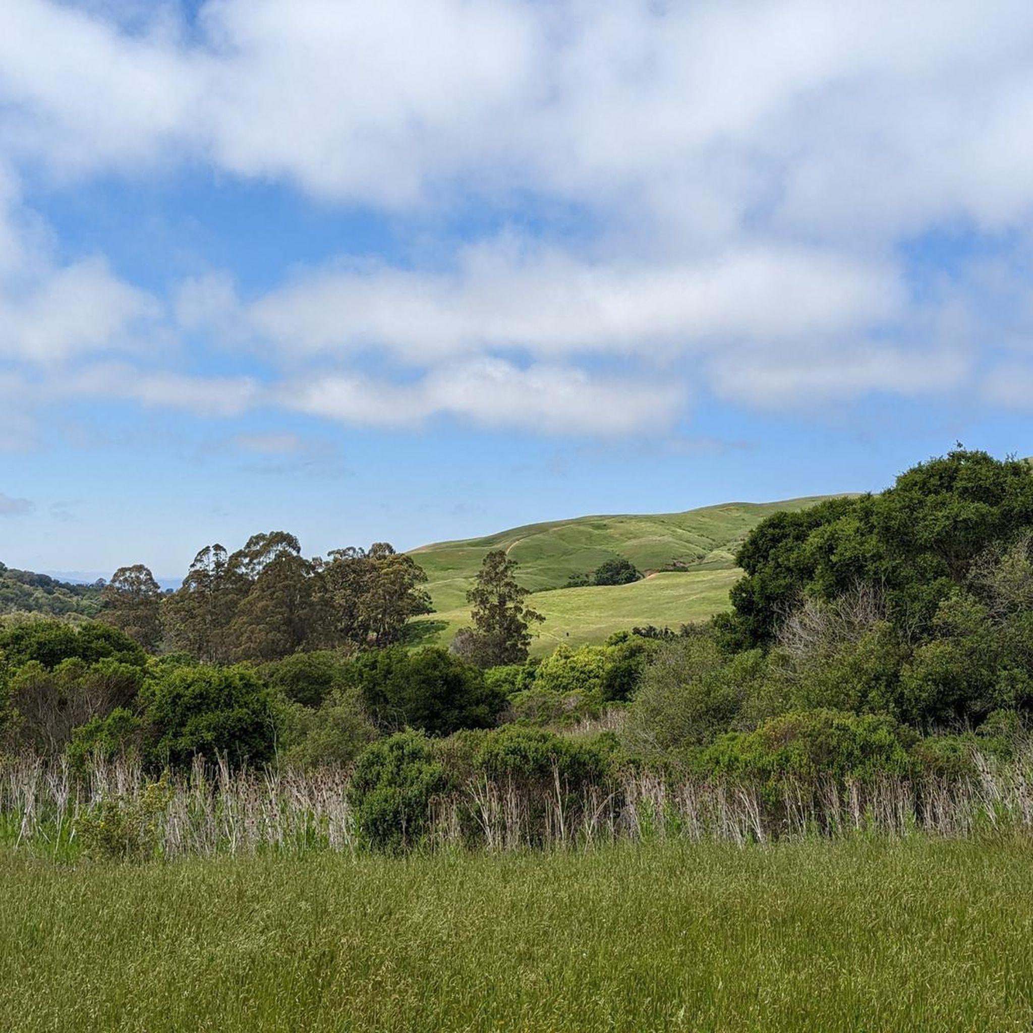
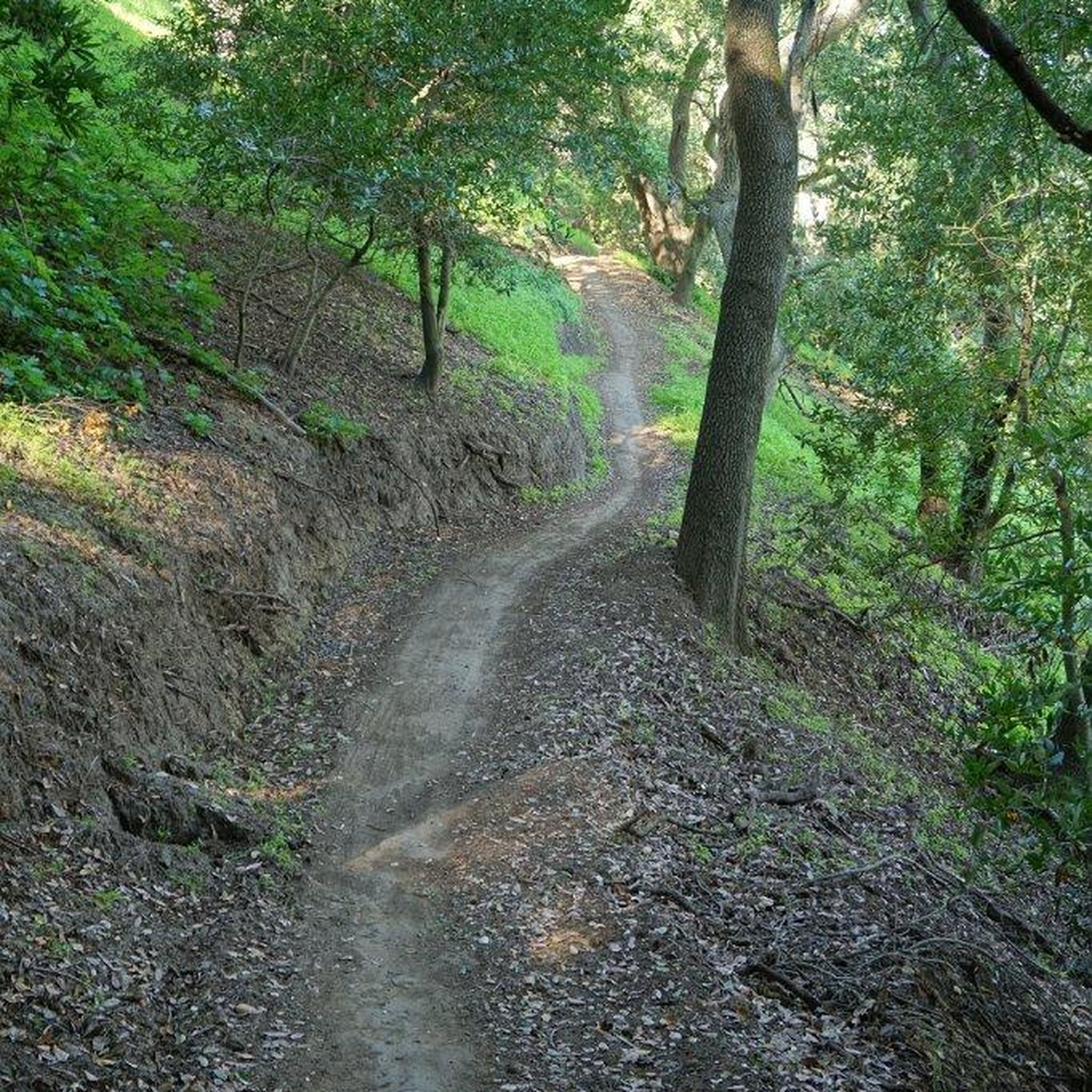
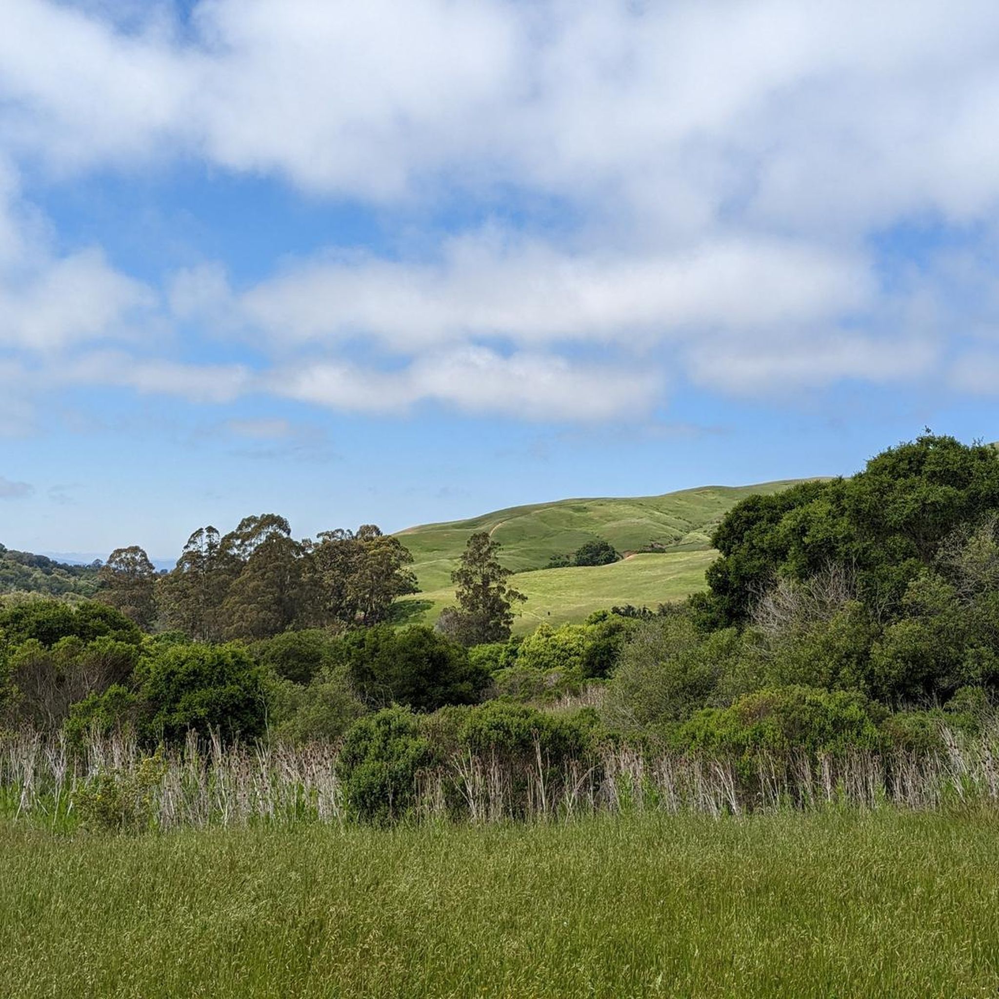
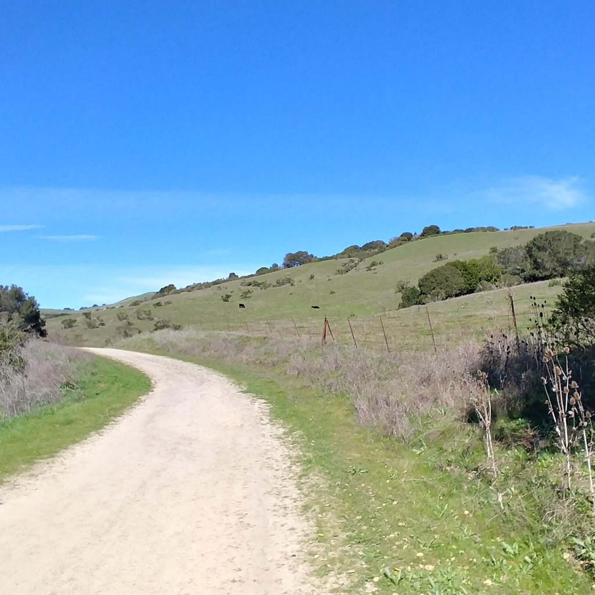
Touring cycling around El Sobrante offers a variety of routes, primarily characterized by its proximity to the San Francisco Bay and surrounding hills. The area features a mix of paved paths and roads, often tracing the bay shoreline or winding through local parklands. Elevation changes can range from flat, accessible sections to more challenging climbs in the higher terrain. These routes provide options for various skill levels, from easy touring bike trails El Sobrante to more advanced options.
Best touring…
Last updated: October 10, 2026
1
riders
28.2km
02:08
480m
480m
Hard bike ride. Very good fitness required. Mostly paved surfaces. Suitable for all skill levels.
7
riders
8.42km
00:37
40m
40m
Easy bike ride. Great for any fitness level. Mostly paved surfaces. Suitable for all skill levels.

5.0
(4)
96
riders
49.4km
02:53
140m
140m
Moderate bike ride. Good fitness required. Mostly paved surfaces. Suitable for all skill levels.
4.8
(12)
129
riders
33.5km
01:57
50m
50m
Easy bike ride. Great for any fitness level. Mostly paved surfaces. Suitable for all skill levels.
5.0
(1)
15
riders
23.6km
01:23
50m
50m
Easy bike ride. Great for any fitness level. Mostly paved surfaces. Suitable for all skill levels.
Get access to more routes and recommendations from other explorers.
Already have an account?
Our route recommendations are based on thousands of hikes, rides, and runs completed by other people on komoot.
Start today with a free account
Your next adventure awaits.

Tips from the Community

Concrete fishing pier with excellent views across the bay. It juts out into the Carquinez Strait, with a fish cleaning station at the halfway point.
0
0

The public library is right across the street from the Ohlone Greenway. This pretty little red and white striped building is open to the public and has clean restrooms, WiFi, and water fountains as well as books.
1
0

If you're coming from North Point Isabel, when you reach the Richmond Bay & San Francisco Bay Trails Junction, you have two options. Take a right to hop onto the Richmond Bay Trail. If you are coming from the Richmond Bay Trail, you can turn to join the San Francisco Bay Trail. This will lead you to McLaughlin Eastshore State Park and further down to Berkeley.
1
0

This crossing was created by the Friends of Five Creeks as part of one of their larger restoration projects that began in 1999 to revive the area where Codornices Creek crosses the Ohlone Greenway. Inspired and led by local architect Todd Jersey, the project has transformed the site by replacing ivy and trash with native plants, improving access, and adding a beautiful observation railing.
0
0

Point Emery, located on the SF Bay Trail, is a charming little park with stellar bay views, walking paths, and relaxation spots with benches along the trails. Open daily from 5 AM to 10 PM, Point Emery provides a perfect outdoor setting for families and dog owners, with designated off-leash areas for pets. The park features two launches: a wide sandy beach north of the parking lot and a narrow set of stairs near the Point, making it popular for kayakers, paddleboarders, and kiteboarders. The short walk to the beach, through small dunes and down steps, gives way to a beautiful stretch of golden sand. Although there are no public transportation services nearby, a good amount of parking is available.
0
0

This Pedestrian- Bicycle bridge connects the Aquatic Park North Trailhead of the San Francisco Bay Trail with the rest of the costal trail over the bustling I-80 Highway. From the top of the bridge you get nice views over the Bay to San Francisco, and Oakland.
0
0
Excellent paved bike / multi-use trail along the water, part of the - eternally unfinished - San Francisco Bay Trail project
0
1

there is a lot to see and discover, beautiful place
2
2
Frequently Asked Questions
How many touring cycling routes are available around El Sobrante?
There are over 60 touring cycling routes available around El Sobrante, offering a diverse range of experiences for cyclists of all levels.
What is the overall difficulty level of touring cycling routes in El Sobrante?
The routes around El Sobrante offer a good mix of difficulties. You'll find 27 easy routes, 24 moderate routes, and 11 more challenging options, ensuring there's something for every skill level.
Are there easy or family-friendly touring cycling routes in El Sobrante?
Yes, El Sobrante offers several easy and family-friendly routes, particularly those along the bay shoreline. A great option is the San Francisco Bay Trail, which is flat and offers scenic views of the bay.
Are there challenging touring cycling routes for experienced cyclists?
Absolutely. For experienced cyclists looking for a challenge, routes like the Old San Pablo Dam Road Loop feature significant elevation gain through the local hills, providing a demanding ride.
Can I find circular touring cycling routes around El Sobrante?
Yes, many routes in the area are designed as loops. For example, consider the Richmond Bay Trail – Point Emery loop from Richmond or the Richmond Bay Trail – Alexander Zuckermann Path loop from Richmond, both offering scenic circular tours.
What do other cyclists say about touring cycling in El Sobrante?
The touring cycling routes around El Sobrante are highly rated by the komoot community, with an average score of 4.6 stars from over 200 reviews. Cyclists often praise the varied terrain, from bayfront paths to rolling hills, and the accessibility for different ability levels.
What kind of scenery can I expect on touring cycling routes in El Sobrante?
Touring cycling around El Sobrante is characterized by its diverse scenery, including bayfront paths with views of the San Francisco Bay, winding roads through local parklands, and rolling hills. You'll experience a mix of urban greenways and natural landscapes.
Are there any interesting landmarks or attractions along the touring cycling routes?
Yes, the area offers several points of interest. You might pass by Point Isabel Regional Shoreline Park, or explore trails like Soaring Eagle Trail. Further afield, you can find landmarks like Sather Gate to Berkeley University Campus and the Berkeley Campanile Sather Tower.
Are there any lakes or natural viewpoints accessible from the touring cycling routes?
Yes, you can find beautiful natural spots. Lake Anza is a notable lake in the vicinity. For scenic vistas, consider routes that offer views like the Overlook - Briones Reservoir.
What is the best season for touring cycling in El Sobrante?
El Sobrante generally offers good cycling conditions year-round due to its mild Mediterranean climate. Spring and fall provide pleasant temperatures and often clear skies, making them ideal. Summer can be warm but is often tempered by bay breezes, while winter is mild but may bring occasional rain.
Are there dog-friendly touring cycling routes in El Sobrante?
Many of the regional parks and trails around El Sobrante, including sections of the Bay Trail, are dog-friendly, often requiring dogs to be on a leash. It's always best to check specific park regulations for the route you plan to take, but generally, you'll find options to cycle with your canine companion.
What are the typical lengths of touring cycling routes in the El Sobrante area?
Route lengths vary significantly. You can find shorter, easy rides like the San Francisco Bay Trail at around 5.2 miles (8.4 km), up to longer excursions such as the Richmond Bay Trail – Alexander Zuckermann Path loop from Richmond, which spans over 32 miles (52 km).
Is public transport accessible near touring cycling trails in El Sobrante?
The El Sobrante area and nearby cities like Richmond and Berkeley have public transport options, including BART (Bay Area Rapid Transit) and AC Transit buses, which can connect you to various points along the Bay Trail and other cycling routes. Some public transport services allow bikes, but it's advisable to check their specific policies and schedules.
Most popular attractions around El Sobrante

Get inspired with the komoot mobile app


Explore more
Browse the best Cycling routes in other regions.
