The best gravel rides around El Sobrante
3.8
(3)
45
riders
8
rides
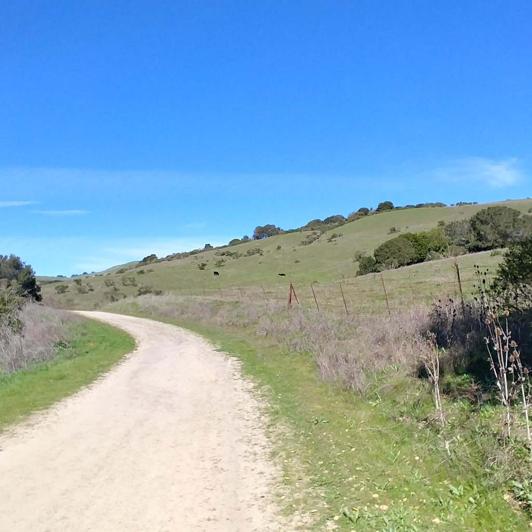
Gravel biking around El Sobrante offers access to a semi-rural landscape characterized by open hillsides and oak woodlands. The area features prominent natural elements like San Pablo Ridge, Sobrante Ridge, and the San Pablo Creek corridor. Unpaved roads and trails, including segments of the Old San Pablo Dam Road, provide varied terrain suitable for gravel cycling. The region is also adjacent to the San Pablo Reservoir, contributing to its diverse outdoor environment.
Best gravel bike trails around El Sobrante
- The…
Last updated: October 20, 2026
4.5
(2)
18
riders
31.7km
03:05
800m
800m
If you're looking for a gravel biking adventure that truly showcases the East Bay, the East Bay Skyline Loop delivers. This difficult 19.7-mile (31.7 km) route winds through a stunning…
5
riders
46.4km
03:32
1,070m
1,070m
Hard gravel ride. Very good fitness required. Mostly paved surfaces. Suitable for all skill levels.

3.0
(1)
9
riders
26.2km
02:12
700m
700m
Hard gravel ride. Very good fitness required. Mostly paved surfaces. Suitable for all skill levels.
6
riders
22.1km
01:34
420m
420m
Moderate gravel ride. Good fitness required. Mostly paved surfaces. Suitable for all skill levels.
7
riders
29.7km
02:00
440m
440m
Moderate gravel ride. Good fitness required. Mostly paved surfaces. Suitable for all skill levels.
Get access to more routes and recommendations from other explorers.
Already have an account?
Our route recommendations are based on thousands of hikes, rides, and runs completed by other people on komoot.
Start today with a free account
Your next adventure awaits.
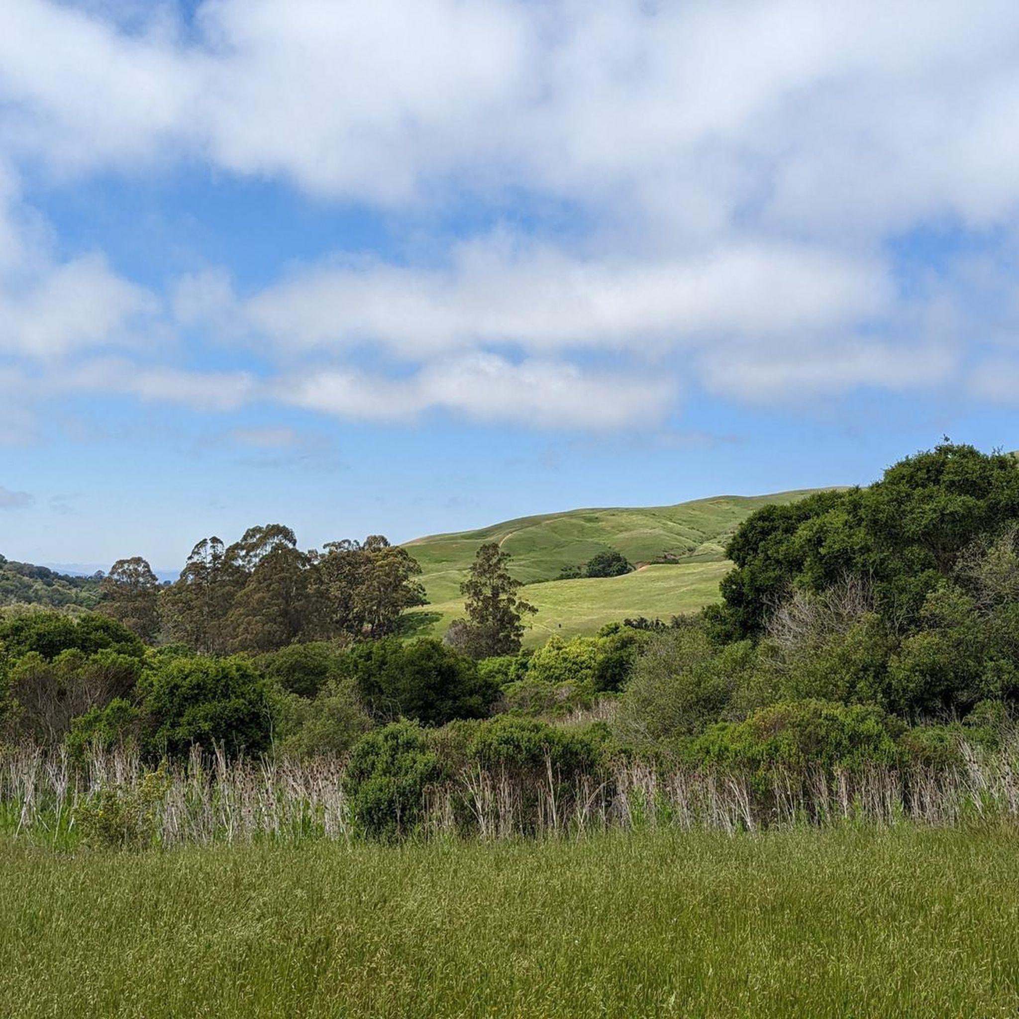
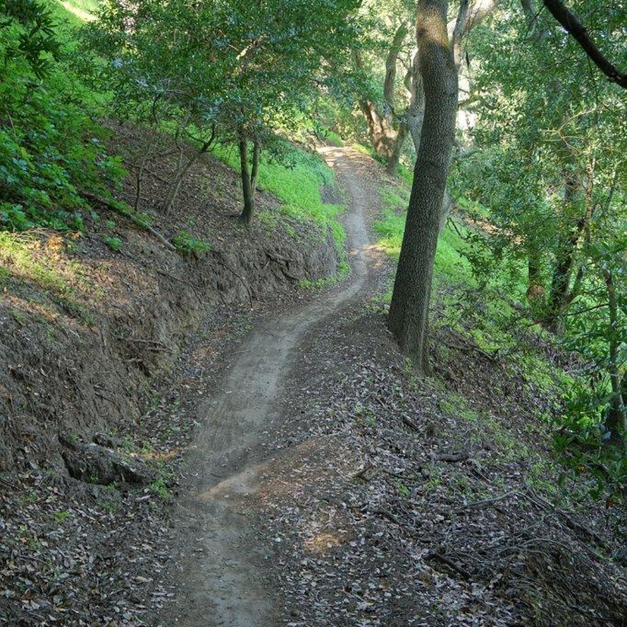
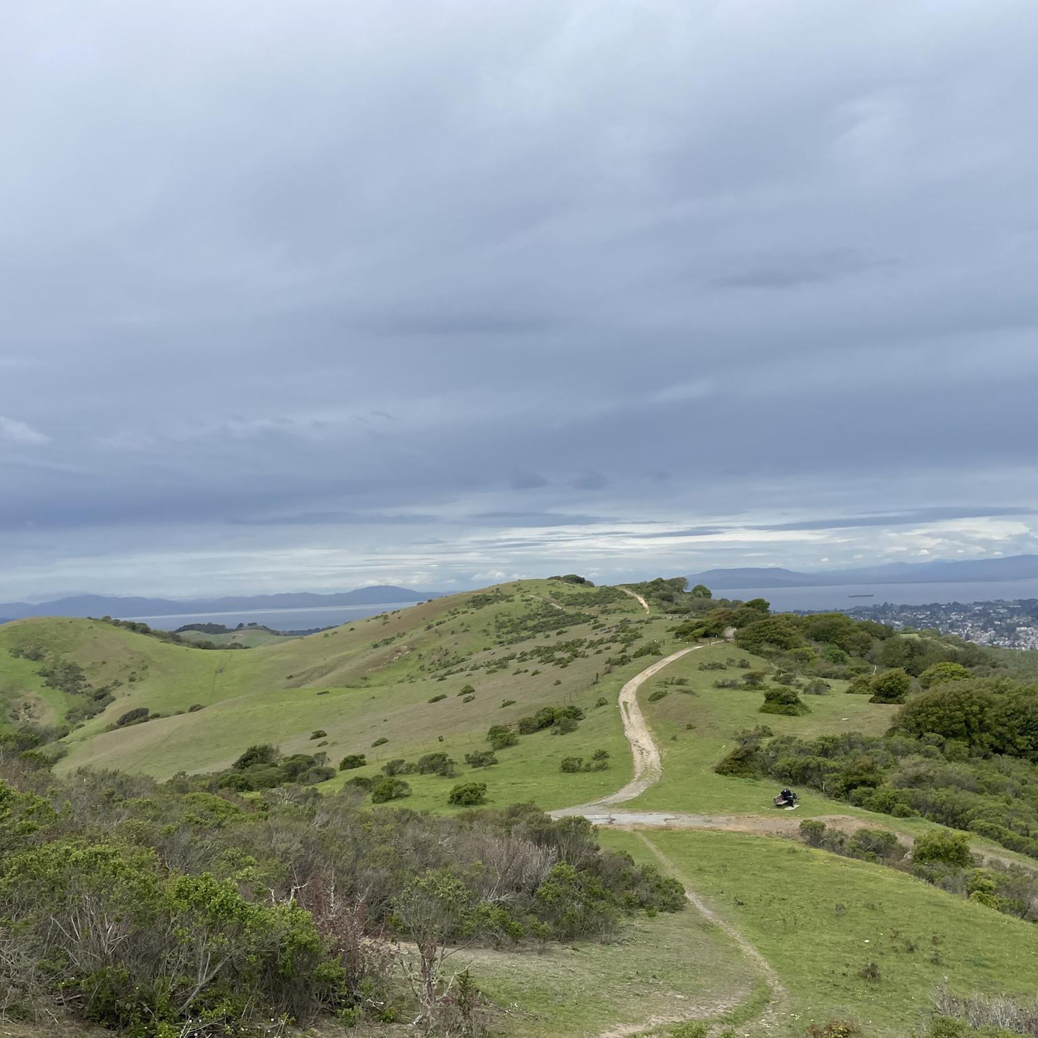
Tips from the Community

This road parallels the ridgeline above and have great views over the bay and surrounding hills.
0
0

Wildcat Creek Trail is a packed-dirt trail that is about four miles long. One end of the trail is at Jewel Lake, near the Environmental Education Center, and the other end of the trail is at the Alvarado Staging Area. This trail offers great views of Wildcat Creek and has some picnic tables you could stop at along the side of the trail.
0
0
Conlon Trail is a connector trail off of Nimitz Way Trail that spits you out on its south side at the intersection of Havey Canyon Trail and Wildcat Creek Trail. Conlon Trail offers from sweet views, but it's open to hikers and bikers, so keep an eye out for folks on foot.
0
0


Camp Alvarado is part of the Wildcat Canyon Regional Park and hosts a huge area for picnicking and grilling with multiple tables and benches.
0
0

Tunnel Road and Skyline Boulevard to Grizzly Peak Boulevard are in an area that is popular with bikers. This hill has an average grade of 4.3%, a steady climb. Bikers enjoy windy roads and views of homes and Bay Area architecture.
0
0
Inspiration Point at Tilden Regional Park is quite well known and popular, so you may meet some crowds on the weekend. A short walk leads to a lookout view of San Francisco Bay, or just enjoy views of the hills from the parking lot, with numerous benches to sit and take a break it's a great spot for photos.
1
0
The Steam Trains of Tilden Regional Park offer rides along a scenic part of the bay area. The small tourism steam engines take visitors along a ridge with nice views. This park has great parking, drinking water, and restroom facilities that are wheelchair accessible. For more information on tickets and prices, visit Redwood Valley Railroad or call (510) 548-6100.
0
0
Frequently Asked Questions
How many gravel bike trails are available around El Sobrante?
There are 9 gravel bike trails around El Sobrante, offering a variety of experiences for different skill levels. Most of these, 8 to be exact, are considered difficult, while one is moderate.
What kind of terrain can I expect on gravel bike trails near El Sobrante?
Gravel biking around El Sobrante offers a diverse landscape, from open hillsides and oak woodlands to prominent features like San Pablo Ridge and Sobrante Ridge. You'll encounter unpaved roads and trails, including sections of the Old San Pablo Dam Road, which is known for its constantly changing surfaces, ranging from cracked pavement to gravel and double-track. Many routes provide a sense of isolation through dense woods with occasional glimpses of the San Pablo Reservoir.
Are there any easy gravel bike trails for beginners in El Sobrante?
While many routes in the area are rated as difficult, there is one moderate trail available. For beginners, it's recommended to start with shorter, less technical sections or explore areas within regional parks that offer smoother fire roads. The San Pablo Ridge Trail – Belgum Trail loop from East Richmond Heights is a moderate option, covering 7.5 miles (12.0 km) and leading through the San Pablo Ridge.
Are there challenging gravel bike routes for experienced riders?
Yes, El Sobrante is an excellent base for experienced gravel bikers seeking a challenge. The majority of routes, 8 out of 9, are rated as difficult. For instance, the East Bay Skyline Loop is a difficult 19.7-mile (31.7 km) trail with significant elevation gain, offering extensive views across the East Bay hills. Another challenging option is the Inspiration Point Overlook – Grizzly Peak Boulevard loop from North Berkeley, a 29.0-mile (46.7 km) path featuring panoramic vistas and substantial climbing.
What do other gravel bikers say about the trails in El Sobrante?
The gravel biking routes in El Sobrante are highly rated by the komoot community, with an average score of 3.8 stars from more than 3 reviews. Users often praise the varied terrain, the sense of wilderness, and the beautiful landscapes, especially along routes like the Old San Pablo Dam Road.
Are there loop gravel bike trails in the El Sobrante area?
Yes, several routes in the area are designed as loops, allowing you to start and end at the same point. Examples include the East Bay Skyline Loop and the San Pablo Ridge Trail – Belgum Trail loop from East Richmond Heights. These loops provide a convenient way to explore the region without retracing your steps.
What natural features or landmarks can I see while gravel biking near El Sobrante?
While gravel biking near El Sobrante, you can enjoy views of the San Pablo Reservoir and ride through oak woodlands and greenbelts along San Pablo Creek. Notable viewpoints include San Francisco View and 360-degree viewpoint. You might also encounter the Albany-North Berkeley Kiwanis Club Tree Grove or the World Peace Grove ☮️.
Are there good viewpoints along the gravel bike trails in El Sobrante?
Yes, the East Bay hills offer several excellent viewpoints. The Inspiration Point Overlook – Grizzly Peak Boulevard loop from North Berkeley is specifically known for its panoramic vistas. Other highlights include Grizzly Peak Vista Point and Nicholl Knob, providing stunning views of the surrounding landscape.
Can I spot wildlife on the gravel trails around El Sobrante?
El Sobrante's semi-rural setting, with its open hillsides, oak woodlands, and the San Pablo Creek greenbelt, provides habitat for local wildlife. While specific sightings are never guaranteed, the natural environment offers opportunities for wildlife spotting, especially in quieter sections of the trails and within regional recreation areas like Kennedy Grove.
What is the best time of year for gravel biking in El Sobrante?
El Sobrante generally offers pleasant conditions for gravel biking for much of the year. Spring and fall typically provide mild temperatures and clear skies, making them ideal. Summers can be warm, so early morning or late afternoon rides are often preferred. Winters are generally mild, but trails can be muddy after rain.
Are the gravel biking routes in El Sobrante dog-friendly?
Many regional parks and trails in the East Bay, including those accessible from El Sobrante, have specific rules regarding dogs. It's common for dogs to be allowed on leash on fire roads and multi-use trails. However, regulations can vary by park or specific trail segment, especially near reservoirs or protected natural areas. Always check the specific rules for the park or trail you plan to visit before bringing your dog.
Where can I find parking for gravel biking trails in El Sobrante?
Parking for gravel biking trails in El Sobrante is typically available at the entrances to regional parks and trailheads. For example, Kennedy Grove Regional Recreation Area, which connects to parts of the Bay Area Ridge Trail, offers parking facilities. When planning your ride, check the starting points of specific routes on komoot for details on nearby parking options.
Is public transport available to access gravel trails near El Sobrante?
While El Sobrante has some local bus services, direct public transport access to specific gravel trailheads can be limited due to the semi-rural nature of the area. Accessing trails often requires a combination of public transport to a nearby town and then cycling or driving to the trailhead. For routes starting further afield, like the Cedar Rose Park – Ohlone Greenway loop from Downtown Berkeley or the Ohlone Greenway – Cedar Rose Park loop from North Berkeley, public transport options to Berkeley might be more feasible.
Most popular attractions around El Sobrante

Get inspired with the komoot mobile app


Explore more
Browse the best Gravel rides in other regions.
