The best road cycling routes around Pittsburg
4.3
(12)
444
riders
25
rides
Road cycling around Pittsburg offers a diverse landscape primarily characterized by flat to gently rolling terrain, often following regional trails. The area features routes that traverse open spaces, agricultural lands, and urban fringes, providing varied scenery for cyclists. Many paths are paved or well-maintained, making them suitable for road bikes. The region's topography allows for accessible rides with minimal elevation changes, ideal for leisurely cycling.
Best road cycling routes in Pittsburg
- The most popular road cycling route is Delta De…
Last updated: July 7, 2026
11
riders
102km
05:03
970m
970m
Hard road ride. Very good fitness required. Mostly well-paved surfaces and easy to ride.
2
riders
57.2km
03:10
230m
230m
Moderate road ride. Good fitness required. Some segments of this route may be unpaved and difficult to ride.

Sign up for free
4.5
(2)
3
riders
60.0km
02:40
420m
420m
Moderate road ride. Good fitness required. Mostly well-paved surfaces and easy to ride.
5.0
(1)
49
riders
67.7km
03:12
740m
740m
Moderate road ride. Good fitness required. Mostly well-paved surfaces and easy to ride.
57
riders
83.8km
04:20
1,320m
1,320m
Hard road ride. Very good fitness required. Mostly well-paved surfaces and easy to ride.
Get access to more routes and recommendations from other explorers.
Sign up for free
Already have an account?
Our route recommendations are based on thousands of hikes, rides, and runs completed by other people on komoot.
Start today with a free account
Your next adventure awaits.
Login or Signup
Tips from the Community

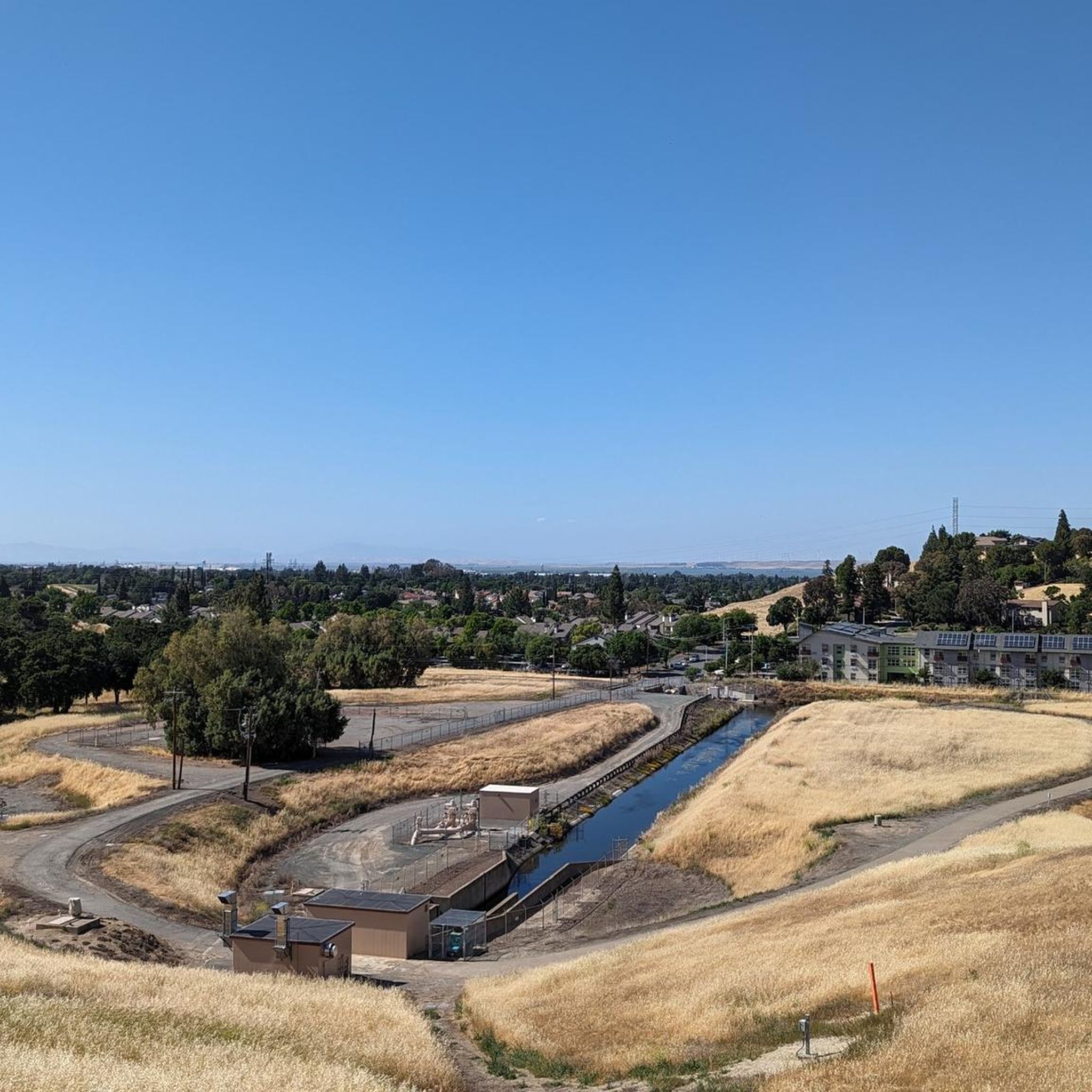
Valle Vista is the trailhead for the paved Lafayette-Moraga Regional Trail, a popular rail-trail for cyclists. There’s a restroom here, but note: the EBMUD dirt trails are hiking-only and require a permit. The bike trail has been officially closed between here and Moraga since a 2019 landslide.
0
0

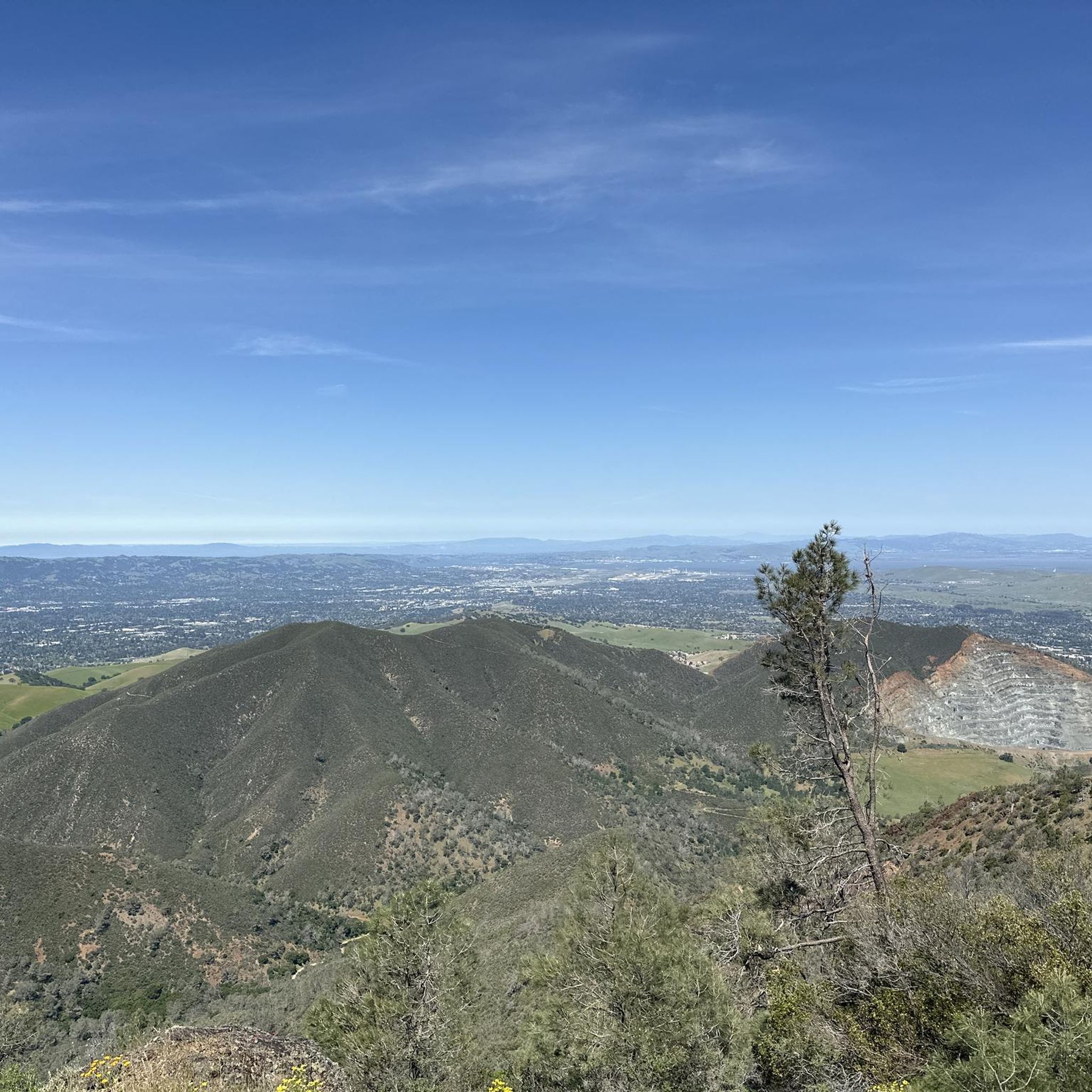
This road parallels the ridgeline above and have great views over the bay and surrounding hills.
0
0
The Iron Horse Trail is a rail trail through San Ramon Valley. It’s a smooth, paved path—great for a relaxed spin or a steady training session. The route is mostly flat, with easy access to cafés and parks along the way. This urban trail winds through several green spaces and crosses some cool bridges. It’s shared with pedestrians and horseback riders, so be sure to ride carefully.
1
0

This is a delightful, flowy, mostly shaded route through the canyon with fantastic views through the trees and a few overlooks and picnic spots to pull over and soak in the views.
0
0

The Lafayette-Moraga Regional Trail is a 7.65-mile path that runs through Moraga Valley, connecting Las Trampas Ridge with Oakland Hills.
0
0
Leigh Creekside Park is a small park that is just over an acre in size. The park is a nice resting spot just off the Lafayette-Moraga Trail and features picnic tables, a drinking fountain, and plenty of shade
0
0

The Lafayette-Moraga Regional Trail is a 7.65-mile paved path for hiking, biking, and horseback riding, open from 5 a.m. to 10 p.m. daily. Paralleling St. Mary's Road, the trail connects Lafayette and Moraga, passing through the scenic Moraga Valley. It is a historical route for mule and steam trains transporting redwood lumber. The trail starts at Olympic Boulevard in Lafayette and ends at the Valle Vista staging area near the San Leandro Reservoir. Along the way, it links to schools, parks, and commercial areas and is maintained by the East Bay Regional Park District.
0
0

Lafayette is a city in Contra Costa County, California, with a population of 25,391 as of 2020. Named after the Marquis de Lafayette, a French officer in the American Revolutionary War, landmarks include the Lafayette Library and Learning Center, Oakmont Memorial Park, and the Cross of Lafayette Memorial, a somewhat controversial tribute to U.S. soldiers who died in Iraq. Lafayette is also home to the historic Park Theater, which closed in 2005 but is currently being considered for reopening. This is a great town to pass through, or start and/or end a ride.
0
0
Frequently Asked Questions
How many road cycling routes are available in Pittsburg?
There are over 25 road cycling routes around Pittsburg documented on komoot, catering to various skill levels. You'll find a good mix of easy, moderate, and challenging rides to explore the region's diverse landscapes.
What kind of terrain can I expect on road cycling routes in Pittsburg?
Road cycling in Pittsburg primarily features flat to gently rolling terrain, often following regional trails. Many routes traverse open spaces, agricultural lands, and urban fringes, providing varied scenery. While many paths are paved and well-maintained, some routes may include gentle climbs, especially those passing through suburban parks or residential areas. The region's unique topography, with its blend of riverfronts and rolling hills, offers a diverse cycling environment.
Are there any easy or beginner-friendly road cycling routes in Pittsburg?
Yes, Pittsburg offers several easy road cycling routes perfect for beginners or those seeking a relaxed ride. For instance, the Iron Horse Trail junction – Iron Horse Trail bridge loop from North Concord/Martinez is an easy option. These routes typically feature minimal elevation changes and well-maintained paths, making them accessible for all skill levels.
Which road cycling routes offer scenic views or pass by natural features?
Many routes in Pittsburg offer scenic views, particularly those along the Delta or marshlands. The Delta De Anza Regional Trail Loop provides scenic views along the Delta. Another option is the Marsh Creek Regional Trail – Big Break Regional Shoreline loop from Antioch, which leads through marshlands and along the shoreline, offering unique natural vistas.
What do other cyclists say about road cycling in Pittsburg?
The road cycling routes in Pittsburg are highly rated by the komoot community, with an average score of 4.5 stars from over 18 reviews. Cyclists often praise the varied terrain, from flat regional trails to routes with gentle climbs, and the accessible nature of the paths that connect open spaces, agricultural lands, and urban areas.
Are there any challenging road cycling routes for experienced riders?
While Pittsburg is known for its generally flat to gently rolling terrain, there are a couple of routes categorized as difficult for those seeking more of a challenge. These routes will offer more significant elevation changes or longer distances to test your endurance. In total, there are 2 difficult routes available on komoot around Pittsburg.
Are there any circular road cycling routes in Pittsburg?
Yes, many of the road cycling routes in Pittsburg are designed as loops, offering convenient circular rides. Examples include the Delta De Anza Regional Trail Loop, the Walden Park – Heather Farm Park Lake loop from Lot H, and the Marsh Creek Regional Trail – Big Break Regional Shoreline loop from Antioch. These loops allow you to start and end at the same point, making logistics easier.
What attractions or points of interest can I find near Pittsburg's road cycling routes?
Near Pittsburg's road cycling routes, you can explore several interesting natural and historical sites. Highlights include the Mitchell Canyon Visitor Center, the scenic Eagle Peak, and the historical Black Diamond Mines Regional Preserve. These offer opportunities to extend your trip beyond just cycling.
What is the best time of year for road cycling in Pittsburg?
Given Pittsburg's climate, road cycling is generally enjoyable for much of the year. The region's diverse landscapes, from riverfronts to rolling hills, can be appreciated across seasons. However, spring and fall often provide the most comfortable temperatures for longer rides, avoiding the peak heat of summer or potential chill of winter.
Are there any road cycling routes that pass through urban parks or residential areas?
Yes, some road cycling routes in Pittsburg offer a pleasant ride through suburban parks and residential areas. The Walden Park – Heather Farm Park Lake loop from Lot H is a great example, providing a route that combines green spaces with urban fringes, often featuring gentle climbs.
What is the average distance of road cycling routes in Pittsburg?
The road cycling routes in Pittsburg vary in distance, but many popular options range from approximately 25 to 35 miles (40 to 55 km). For example, the Delta De Anza Regional Trail Loop is about 35.6 miles (57.2 km), while the Marsh Creek Regional Trail – Big Break Regional Shoreline loop from Antioch covers about 32.9 miles (52.9 km).
Most popular routes around Pittsburg
Most popular attractions around Pittsburg

Get inspired with the komoot mobile app


Explore more
Browse the best Road cycling routes in other regions.
