The best MTB trails around Sierra Madre
4.7
(12)
442
riders
15
rides
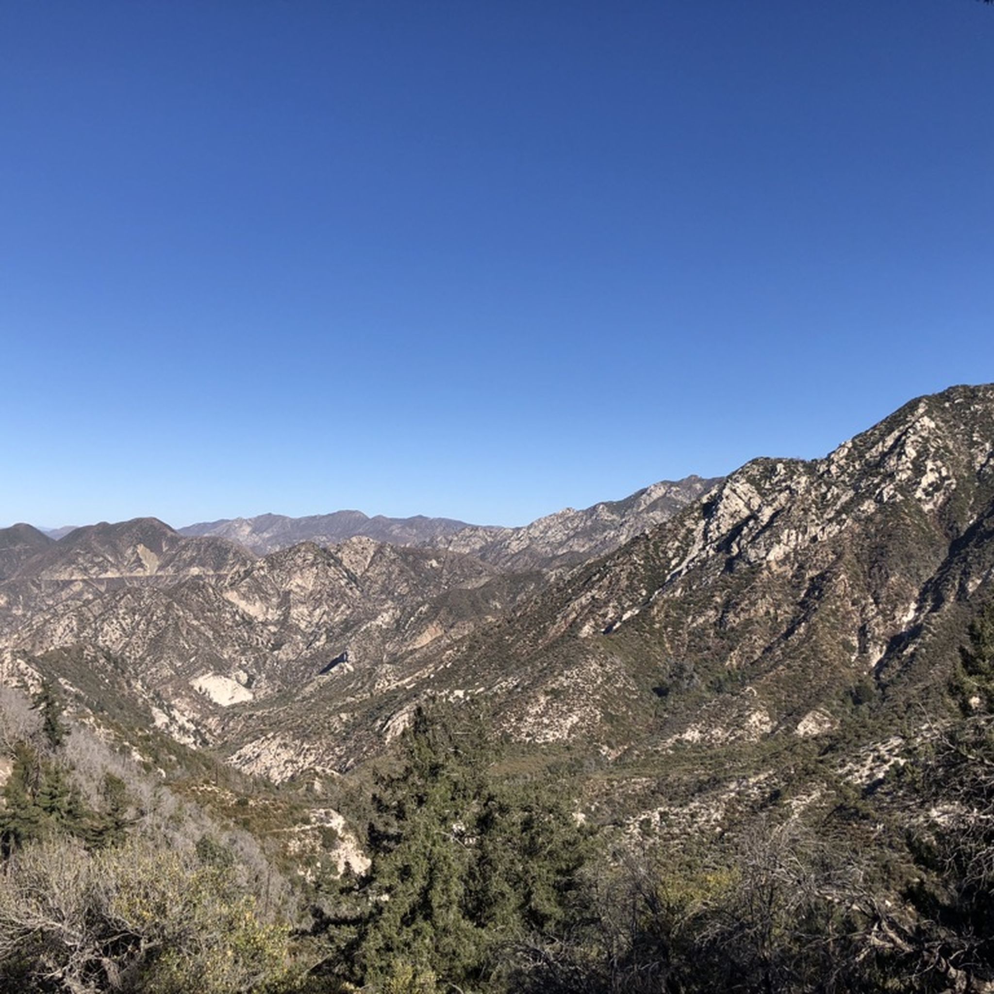
Mountain biking around Sierra Madre offers diverse terrain across its various ranges, from the foothill slopes and oak canopies of California to the rugged landscapes and deep canyons of Mexico, and the lush forests and high peaks of the Philippines. The region is characterized by varied ecosystems, including dense oak and pine forests, rocky mountainsides, and technical single tracks. Riders can expect significant elevation changes and a mix of challenging climbs and descents.
Best mountain bike trails around Sierra Madre
…Last updated: October 13, 2026
10
riders
20.9km
01:58
290m
1,460m
Tackle the difficult 13.0-mile Eaton Saddle to El Prieto mountain biking shuttle, featuring technical singletrack and lush canyon scenery.
56.2km
07:11
2,170m
2,170m
The Mt. Wilson Enduro Loop is a demanding mountain biking route near Los Angeles, famous for its extensive downhill sections and technical challenges. You'll encounter a mix of flowy singletrack…

8.76km
01:07
420m
430m
The Upper and Lower Winter Creek Trail Loop offers a challenging mountain biking experience through the Angeles National Forest, featuring a mix of packed dirt, decomposed rock, and technical sections.…
1
riders
20.6km
03:07
1,300m
1,300m
The Mount Wilson, Sturtevant, and Winter Creek Loop offers a truly rugged mountain biking experience through the San Gabriel Mountains, winding past historic cabins and the impressive Sturtevant Falls. You'll…
1
riders
10.2km
01:11
340m
340m
The Lower Clamshell Truck Trail offers a diverse mountain biking adventure through the Monrovia Hillside Wilderness Preserve, blending wide fire roads with engaging singletrack. You'll navigate through canyons and encounter…
Get access to more routes and recommendations from other explorers.
Already have an account?
Our route recommendations are based on thousands of hikes, rides, and runs completed by other people on komoot.
Start today with a free account
Your next adventure awaits.

Tips from the Community

Short tunnel on the eastern slope below San Gabriel Peak, part of the old Mt Lowe Motorway, that was never paved. The tunnel is very short, so you don't have to worry about bringing light. The road continues to the trailhead half a mile uphill.
0
0

Mostly smooth fire road through Monrovia Hillside Wilderness, but with some steep and technical sections that might challenge beginners. Ride counterclockwise from Canyon Park and follow the signs—many side trails cross private land. The descent includes tight switchbacks and a short singletrack section. You can stick to the main road or take the “advanced” trail, Cactus Road, for more climbs, exposure, and a fun technical finish.
0
0

Explore the looped road around the summit of Mount Wilson, a prominent peak known for its historic Mount Wilson Observatory. The summit houses telescopes, solar towers, and the modern CHARA Array for stellar research. Standing at 5,710 feet, Mount Wilson offers sweeping views of the Los Angeles Basin, the Pacific Ocean, and the Channel Islands on clear days. This site also serves as a major broadcast hub for the Greater Los Angeles area, easy to see with the numerous antennas and relay facilities sticking out all over the summit.
1
0

Chantrey Flats is the natural end for those riding the Sturtevant Trail. If you shuttled to Mt. Wilson with a friend then this is likely the end of the line for you. Others might need to ride back down to Altadena if they took the shuttle offered by SCOAoutdoors.net. And still others might be climbing their way back up to the top via the myriad of roads and trails that depart from this picnic area.
0
0
Sturtevant Trail is one of the most diverse bits of trail in the San Gabriel Mountains. On the way down you'll encounter technical loose switchbacks, flowy sections, rock gardens, decomposed granite, and plenty of roots. Beware that this is a multi-use trail and can be busy with hikers, especially on weekends. Early mornings are the best time to ride, but always watch your speed, particularly around blind corners.
0
0

Mount Wilson is a 5,710-foot summit in San Gabriel Mountains. It's easy to distinguish from the other tall peaks around this area due to how many antennas is has near the top of the mountain. They don't interrupt your views once you're up here, though.
0
0
Mount Wilson has a summit at 5,710 feet. It's easier to distance from a distance because of the large number of antennas near its summit. These are utilized for the relay broadcasting of radio and television in the Greater Los Angeles Area. It's a popular hiking spot, so it can get busy on weekends.
0
0

Frequently Asked Questions
How many mountain bike trails are available in the Sierra Madre region?
The Sierra Madre region offers a diverse network of mountain bike trails. According to komoot data, there are currently 18 mountain bike tours available, catering to various skill levels and preferences.
What are the typical difficulty levels for mountain biking in Sierra Madre?
The Sierra Madre region provides a range of difficulty levels. You'll find trails from moderate to difficult, with 6 moderate routes and 11 difficult routes listed in our data. For example, Upper and Lower Winter Creek Trail Loop is a moderate option, while the Mt. Wilson Enduro Loop is considered difficult, featuring challenging climbs and technical descents.
Are there any family-friendly mountain bike trails in Sierra Madre?
While many trails in Sierra Madre are geared towards intermediate to advanced riders, there are options that might be suitable for families depending on their experience. For instance, the Lower Clamshell Truck Trail is a moderate 10.2 km route that could be a good starting point for families looking for a less strenuous ride.
What kind of natural features and landmarks can I expect to see along the mountain bike trails?
The Sierra Madre region is rich in natural beauty and interesting landmarks. Depending on your chosen route, you might encounter stunning waterfalls like Eaton Canyon Waterfall, Monrovia Canyon Falls, or Sturtevant Falls. You can also visit viewpoints such as Inspiration Point, or explore historical sites like the Mount Lowe Railway Ruins.
What do other mountain bikers enjoy most about the Sierra Madre trails?
The mountain biking experience in Sierra Madre is highly rated by the komoot community, with an average score of 4.8 stars from over 20 reviews. Riders often praise the diverse terrain, from foothill slopes and oak canopies to rugged landscapes and technical single tracks. The significant elevation changes and challenging climbs and descents are also frequently highlighted.
Are there any circular mountain bike routes in the Sierra Madre region?
Yes, many of the mountain bike trails in Sierra Madre are designed as loops, offering a complete riding experience without retracing your path. Examples include the Upper and Lower Winter Creek Trail Loop and the Ye Alpine Tavern ruins – Inspiration Point loop from Altadena.
What is the best time of year to go mountain biking in Sierra Madre?
The Sierra Madre region offers varied climates across its different ranges. In California, the foothill slopes are generally pleasant for riding outside of the hottest summer months. In the Sierra Madre Occidental in Mexico, the rainy season transforms the landscape into striking green hues, which can be particularly appealing for exploration. Always check local weather conditions before heading out.
Are there any easy mountain bike trails for beginners in Sierra Madre?
While many trails feature moderate to difficult sections, there is at least one easy mountain bike route recorded in our data. For those looking for a gentle introduction, it's advisable to seek out shorter, less technical paths or fire roads. The Lower Clamshell Truck Trail is a moderate option that could be suitable for those building confidence.
What kind of wildlife might I encounter while mountain biking in Sierra Madre?
The Sierra Madre ranges are known for their rich biodiversity. In the Sierra Madre Occidental, the region is a vital sanctuary for many species, some endangered or endemic. In the Philippines, the Northern Sierra Madre Natural Park is exceptionally rich in genetic, species, and habitat diversity. While specific sightings vary, you might encounter diverse flora and fauna, especially in less developed areas.
Are there places to eat or get refreshments near the mountain bike trails?
Yes, depending on the specific trail location, you can find facilities nearby. For example, The Cub House is listed as a facility near some Sierra Madre trails, which could be a spot for refreshments or bike-related services. It's always a good idea to research local amenities for your chosen trailhead in advance.
How long do mountain bike trails typically take to complete in Sierra Madre?
Trail durations vary significantly based on distance, difficulty, and your riding pace. For example, the Upper and Lower Winter Creek Trail Loop (8.8 km) typically takes around 1 hour 6 minutes, while the challenging Mt. Wilson Enduro Loop (56.2 km) can take over 7 hours.
What are the typical elevation gains on Sierra Madre mountain bike trails?
Mountain bike trails in Sierra Madre often feature significant elevation changes. For instance, the Mt. Wilson Enduro Loop involves an ascent of over 2,100 meters. Even moderate trails like the Upper and Lower Winter Creek Trail Loop can have over 400 meters of elevation gain.
Most popular attractions around Sierra Madre

Get inspired with the komoot mobile app


Explore more
Browse the best MTB trails in other regions.
