The 2 Most Amazing Peaks around Santa Clarita
Best mountain peaks around Santa Clarita are found within a diverse landscape, offering varied terrain and natural features. The region is characterized by its surrounding mountain ranges and numerous local peaks, providing rewarding experiences for outdoor enthusiasts. These areas offer panoramic views and unique geological formations. Santa Clarita's natural environment makes it a notable destination for exploring mountainous terrain.
Best mountain peaks around Santa Clarita
- The most popular mountain peaks is Vasquez Rocks, a natural monument known for its…
Last updated: July 8, 2026
Rocky Peak Trail
Highlight • Trail
Tip by

Los Pinetos Peak
Highlight • Summit
Tip by

Sign up now to discover places like this
Get recommendations on the best single tracks, peaks, & plenty of other exciting outdoor places.
Sign up for free
Mission Point
Highlight • Summit
Tip by

View of Mission Point
Highlight • Viewpoint
Tip by

Start today with a free account
Your next adventure awaits.
Login or Signup

Tips from the Community

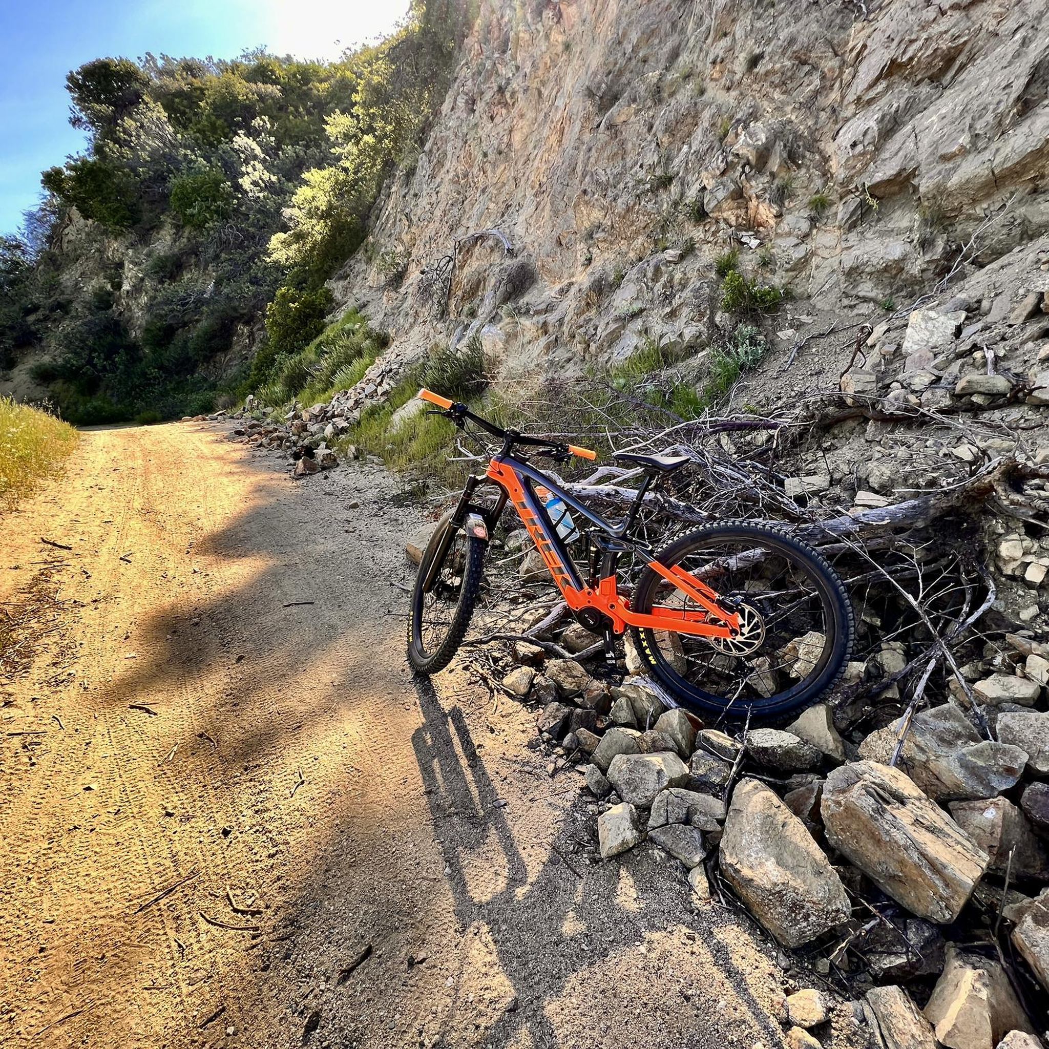
Steep going up but we'll worth the views at Mission Point. Watch for coyotes. Not too technical. usually dry and exposed trail.
0
0

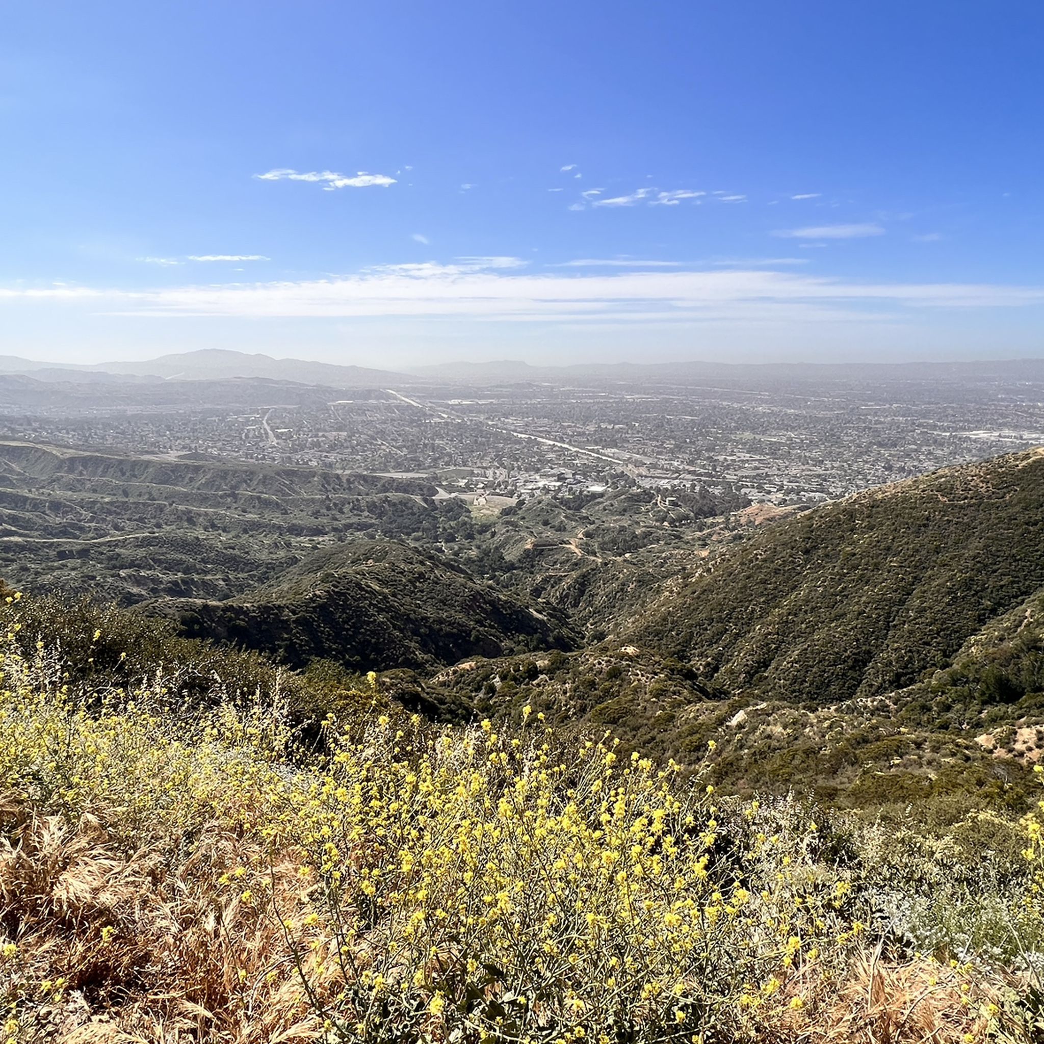
At 3,560 feet, Los Pinetos Peak serves as the highest point along Santa Clara Divide Road. The lower sections of the roads leading to the summit are paved, but all the paths turn to dirt and are closed to public vehicles (besides bikes and pedestrians). There are great views of the valley and foothills from the summit.
0
0

Mission Point is a popular destination for hikers and mountain bikers. The views from the top are spectacular and you can see most of the San Fernando Valley and on a clear day the ocean.
0
0

O'Melveny Park in Granada Hills is a large park, it is the second largest park in Los Angeles County after Griffith Park. It is a great place to hike or run. Having a run out up the O'Melveny Trail up to Mission Point is great fun, not that overcrowded and it has great mountain views.
0
0

Rocky Peak Park is a 4,800-acre park in the Santa Susana Mountains. It is known for trails like the 3-mile Chumash Trail and the 5-mile Rocky Peak Trail. It is home to Rocky Peak, the fourth-highest point in the Santa Susana Mountains.
0
0
At 3,560 feet, Los Pinetos Peak serves as the highest point along Santa Clara Divide Road. The lower sections of the roads leading to the summit are paved, but all the paths turn to dirt and are closed to public vehicles (besides bikes and pedestrians). There are great views of the valley and foothills from the summit.
0
0
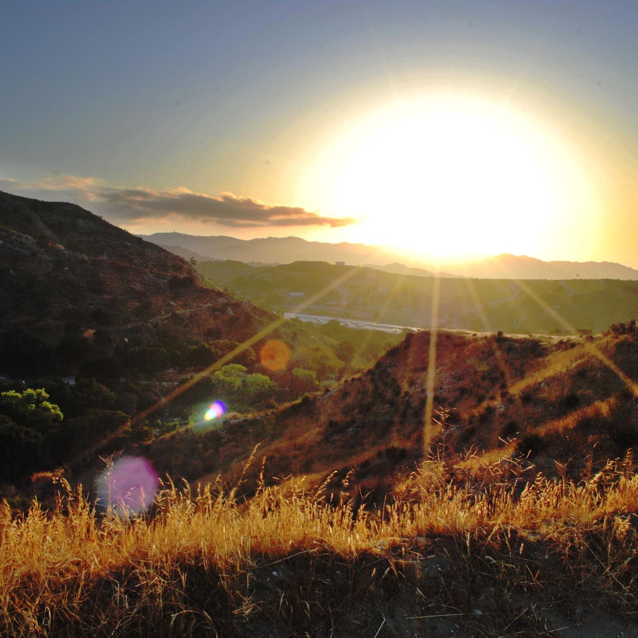
Mission Point serves as a lookout and memorial site for Dr. Mario A De Campos. There are great, open views from the top, which can be reached from a couple different directions. The views are of the mountains in one direction and the city in the other.
0
0

Mission Point is the high point of O’Melveny Park. It offers 360 views of the San Fernando Valley, the Santa Monica Mountains and the San Gabriels.
0
0
Frequently Asked Questions
Which mountain peaks offer the best panoramic views of Santa Clarita and the surrounding valleys?
For expansive views, consider hiking to Mission Point, which provides 360-degree vistas of the San Fernando Valley, the Santa Monica Mountains, and the San Gabriels. Similarly, Los Pinetos Peak, at 3,560 feet, offers great views of the valley and foothills. From the top of Whitney Canyon, you can also enjoy panoramic views of Santa Clarita, while Slide Mountain boasts astounding views encompassing vast swathes of the Santa Clarita Valley and even parts of Los Angeles.
Are there any family-friendly mountain peaks or trails suitable for children around Santa Clarita?
Yes, Vasquez Rocks is a great family-friendly option, known for its unique rock formations that are fun to explore. Mission Point also has family-friendly aspects, offering rewarding views after a hike. For easier hikes, the Easy hikes around Santa Clarita guide lists trails like Wiley Canyon Trail and Whitney Canyon Falls Trail, which are suitable for families.
What unique natural features can I expect to see when exploring the mountain peaks near Santa Clarita?
The region is rich in unique natural features. Vasquez Rocks is famous for its dramatically tilted and folded rock formations, which have been featured in many films. Towsley Canyon offers interesting rock formations, a narrow slot canyon, and even natural oil seeps. Whitney Canyon features a spring-fed waterfall and diverse vegetation, including riparian corridors, while East and Rice Canyons boast rugged, forested trails with Douglas Bigcone Fir trees.
Which mountain peaks offer challenging hikes for experienced trekkers?
For a challenging experience, 'The Beast' (Los Pinetos Trail) is a strenuous 7.2-mile hike with an elevation gain of 1,815 feet, leading to one of the tallest peaks in the Santa Clarita Valley. Slide Mountain also offers a challenging, well-maintained trail to its summit. Los Pinetos Peak, while accessible, involves paths that turn to dirt and are closed to public vehicles, making it a more rugged experience for hikers and bikers.
Are there any dog-friendly mountain trails around Santa Clarita?
Yes, Mission Point is noted as a dog-friendly destination, making it a great option for hiking with your canine companion. Many open spaces and trails in the Santa Clarita area generally welcome dogs, but it's always advisable to check specific park regulations regarding leashes and waste disposal before your visit.
What outdoor activities, besides hiking, can I do near the mountain peaks of Santa Clarita?
Beyond hiking, the area around Santa Clarita's peaks offers excellent opportunities for cycling. You can find various routes for touring bicycles in the Cycling around Santa Clarita guide, including the San Francisquito Creek Trail & Santa Clara River Trail loop. For road cycling enthusiasts, the Road Cycling Routes around Santa Clarita guide features challenging options like the Soledad Canyon Loop and San Francisquito Canyon Loop.
Where can I find trails with interesting geological formations in the Santa Clarita area?
The most prominent location for unique geological formations is Vasquez Rocks, known for its striking, uplifted rock formations. Towsley Canyon also features interesting rock formations and a narrow slot canyon, providing a diverse geological experience for hikers.
What are some less crowded mountain trails or 'hidden gems' near Santa Clarita?
East and Rice Canyons, located near the Newhall Pass, are described as some of the most unique and best trails in Los Angeles County, often with fewer crowds. These canyons offer rugged, forested, and picturesque trails, providing a sense of being removed from urban life.
Which mountain peaks offer a good workout with significant elevation gain?
The trail leading to 'The Beast' (Los Pinetos Trail) is a challenging option with an 1,815-foot elevation gain. Haskell Canyon Open Space also provides trails that ascend through chaparral, offering elevated perspectives and a good workout. Similarly, trails in East and Rice Canyons gain hundreds of feet of elevation to a ridge overlooking the city.
What do visitors enjoy most about the mountain peaks around Santa Clarita?
Visitors frequently appreciate the stunning panoramic views from summits like Mission Point and Los Pinetos Peak. The unique geological features of places like Vasquez Rocks are also a major draw. The diverse terrain, from slot canyons to forested trails, and the opportunity for both moderate and strenuous hikes, contribute to a rewarding outdoor experience.
Are there any mountain peaks or trails that are part of a larger park or open space system?
Yes, Rocky Peak Trail is part of Rocky Peak Park, a 4,800-acre park in the Santa Susana Mountains. 'The Beast' trail is within the Placerita Canyon Natural Area. Mission Point is the high point of O’Melveny Park, which is the second-largest park in Los Angeles County. Other areas include Towsley Canyon within the Santa Susana Mountains and Wildwood Canyon Open Space.
What is the highest point along Santa Clara Divide Road?
The highest point along Santa Clara Divide Road is Los Pinetos Peak, standing at 3,560 feet. While the lower sections of the roads leading to the summit are paved, the paths turn to dirt and are closed to public vehicles, offering a more natural experience for hikers and bikers.
Most popular routes around Santa Clarita
Most popular attractions around Santa Clarita

Get inspired with the komoot mobile app


Explore more
See even more amazing summits around Santa Clarita with these guides:
