The best walks and hikes around Santa Clarita
4.7
(65)
586
hikers
51
hikes
Hiking around Santa Clarita offers access to thousands of acres of public open space with diverse landscapes. The region features oak woodlands, dramatic rock formations, and a network of canyons and hills. Trails wind through areas like Placerita Canyon and Towsley Canyon, providing varied terrain for outdoor exploration.
Best hiking trails around Santa Clarita
- The most popular hiking route is Whitney Canyon Trail — Whitney Canyon Park, a 3.7 miles (6.0 km) trail that takes 1 hour 46 minutes to complete. This easy route features coastal sage scrub, oak woodland, and year-round springs.
- Another top favourite among local hikers is Hart Trail loop — William S. Hart County Park, an easy 1.9 miles (3.0 km) path. This trail offers a pleasant walk through parkland with views of the surrounding area.
- Local hikers also love the Elsmere Canyon Loop — Newhall, California, a 3.0 miles (4.8 km) trail leading through canyons and along a creek, often completed in about 1 hour 28 minutes.
- Hiking around Santa Clarita is defined by oak woodlands, dramatic rock formations, and varied canyon landscapes. The network offers options for easy walks, moderate climbs, and more challenging routes.
- The routes in Santa Clarita are highly rated by the komoot community with an average score of 4.6 stars from over 30 reviews. More than 300 hikers have used komoot to explore Santa Clarita's varied terrain.
Last updated: October 11, 2026
14
hikers
3.91km
01:11
130m
130m
Set out on the Wiley Canyon Trail, an easy hike covering 2.4 miles (3.9 km) with a gentle climb of 432 feet (132 metres). You can expect to complete this route in about 1 hour and 10 minutes. The path winds through tall grasses and beneath shady trees, where you might spot a small creek as the canyon walls close in. As you gain elevation, the scenery shifts to lush green canyon walls and groves of oak trees, offering expansive views of the Santa Clarita Valley.
This trail is a great choice if you are looking for a generally accessible route for hiking, trail running, or birding. It is also a dog-friendly option, so feel free to bring your canine companion along. You will find parking conveniently located at the trailhead within Ed Davis Park, making for an easy start to your adventure.
Located within the Santa Clarita Woodlands Park, the route provides a pleasant introduction to the area's natural environment. Keep an eye out for the distinctive tar pits along the way; their unique smell is often more noticeable on warmer days. From higher points, you can enjoy wide-ranging vistas across the Santa Clarita Valley, adding a rewarding element to your outing.
4.3
(4)
7
hikers
3.60km
01:03
100m
100m
The Elsmere Canyon Road Loop offers an easy hiking experience, covering 2.2 miles (3.6 km) with a gentle elevation gain of 312 feet (95 metres). You can expect to complete this route in about 1 hour and 2 minutes. The trail begins on an old service road before transitioning to a more worn path, ascending a hillside with switchbacks. As you climb, you will notice distinctive tall, sandstone buttresses that punctuate the landscape. From higher points, you can enjoy scenic views, including a notable overlook of the Newhall Pass.
Accessing the Elsmere Canyon Road Loop is straightforward, with parking generally available right at the trailhead. While much of the path follows an old service road, be prepared for some sections that narrow into singletrack. These parts can have loose sand and large, unstable rocks, particularly on downhill stretches, so watch your footing. If there has been recent rain, you might also encounter several small stream crossings along the way.
This route within Whitney Canyon Park is more than just a pleasant walk; it is a journey through a landscape rich in geological history. The active tar seeps you might observe tell a story of the area's oil-rich past. Furthermore, the trail serves as an important wildlife corridor, offering you a chance to spot local animals like mule deer or gray foxes in their natural habitat.

5.0
(1)
6
hikers
5.67km
01:39
150m
150m
Embark on the East Walker Loop, an easy 3.5 miles (5.7 km) hike that promises serene views and gentle terrain. You will gain 507 feet (154 metres) in elevation over an estimated 1 hour and 38 minutes, making it a perfect outing for a relaxed pace. As you ascend, the trail winds through rolling, grassy hills, gradually revealing expansive vistas of the valley below. From the ridge, you can spot Santa Clarita in the distance and the majestic San Gabriel Mountains. Keep an eye out for the small bridge over a stream and a grove of oak trees if you explore the Reynier Trail mini-loop. Thoughtfully placed benches along the route offer ideal spots to pause and take in the scenery.
This multi-use trail welcomes hikers, equestrians, and mountain bikers, so be mindful of others sharing the path. Since the route is largely unshaded, plan your visit for cooler parts of the day, perhaps early morning or late afternoon, to avoid direct sun exposure. After the 2016 Sand Fire, it is important to remain on marked trails to support ongoing rehabilitation efforts in the area. Always carry enough water, especially on warmer days, and wear appropriate sun protection. The trailhead is easily accessible, offering a straightforward start to your adventure.
Located within the East Walker Ranch Open Space, this route provides a tranquil escape for those seeking a quieter hiking experience in Santa Clarita, California. The area's natural beauty, characterized by its recovering landscape and distant mountain backdrops, makes it a notable local gem. It stands out as a peaceful option for enjoying the outdoors without venturing too far from the city. The trail's design encourages a connection with the local environment, offering a refreshing change of pace.
5.0
(1)
3
hikers
2.63km
00:47
120m
0m
Embark on an easy hike along the Whitney Canyon Falls Trail, a delightful 1.6-mile (2.6 km) route that guides you through a varied landscape. You will gain about 390 feet (119 metres) in elevation, making it a quick adventure you can complete in roughly 46 minutes. The path begins wide and shaded, gradually narrowing as canyon walls rise around you, leading you along a creek through a lush green oak forest before revealing a series of cascading waterfalls.
When planning your visit, remember that the Whitney Canyon Falls are at their most impressive during the winter and spring, especially after recent rainfall. Be ready for several creek crossings along the way; waterproof shoes with good traction are highly recommended to navigate the potentially slippery rocks. Parking is typically available right at the trailhead, making access straightforward for your outing.
This trail offers a unique blend of accessibility and natural beauty, providing a refreshing escape close to the city. While the initial sections are gentle, reaching the upper tiers of the waterfalls might involve some rock scrambling, with ropes sometimes in place to assist you. It is a perfect choice if you are looking for a short, engaging hike with a rewarding natural landmark.
4
hikers
5.77km
01:39
140m
140m
Explore the Haskell Canyon Open Space on an easy 3.6-mile (5.8 km) hike, offering a diverse landscape of spring wildflowers, grasslands, and oak groves. You will gain 470 feet (143 metres) in elevation over approximately 1 hour and 39 minutes. While rated easy, be prepared for some challenging sections, especially if you begin from the Copper Hill entrance, which features a steep initial climb. Reaching the ridgelines rewards you with panoramic views of Santa Clarita and the surrounding mountain ranges.
When planning your visit, remember to bring plenty of sun protection and extra water, as much of the area is exposed to the elements. The Haskell Canyon Open Space has multiple entry points, with the main trailhead located off Copper Hill Road. This is a popular spot for both hikers and mountain bikers, so you might encounter others enjoying the trails.
This trail offers a convenient escape into nature right within Santa Clarita, providing a sense of remoteness despite its proximity to the city. As you explore, keep an eye out for local wildlife such as deer and coyotes. The varied terrain and views make it a notable option for a quick outdoor adventure in the region.
Get access to more routes and recommendations from other explorers.
Already have an account?
Our route recommendations are based on thousands of hikes, rides, and runs completed by other people on komoot.
Start today with a free account
Your next adventure awaits.

Tips from the Community

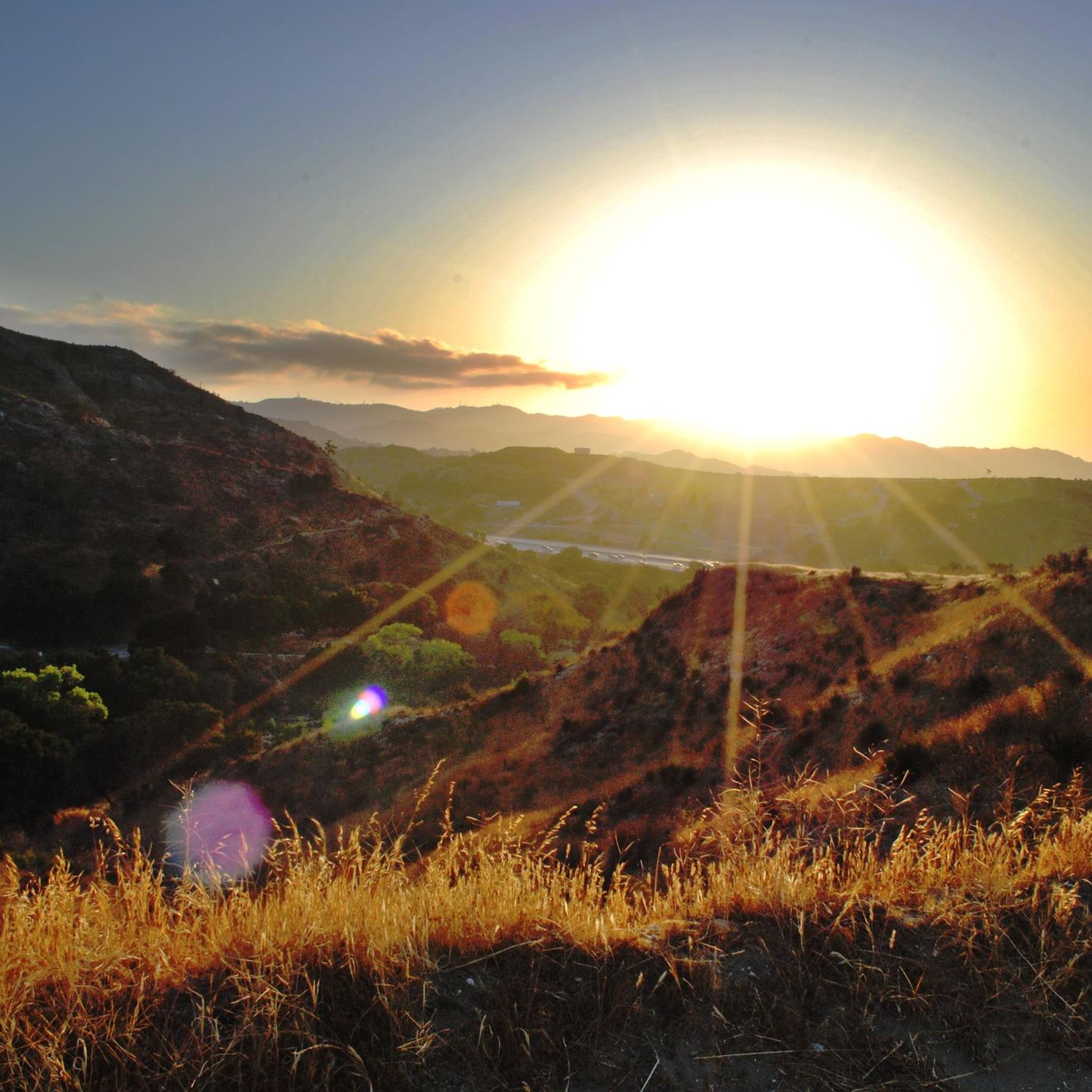
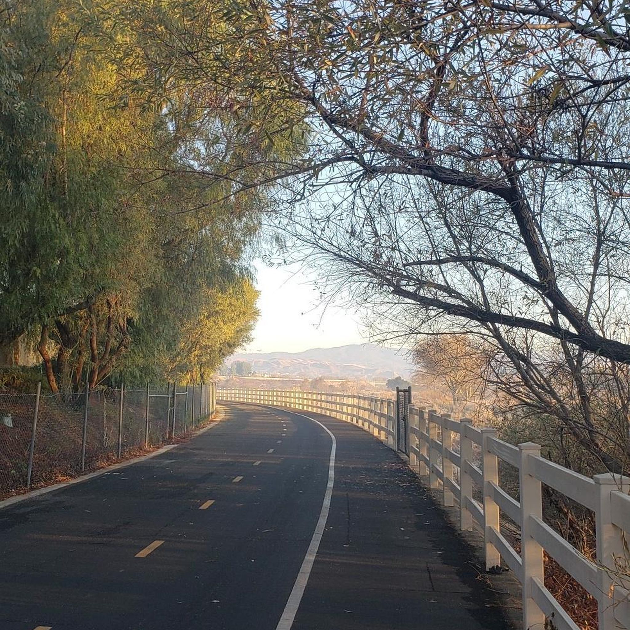
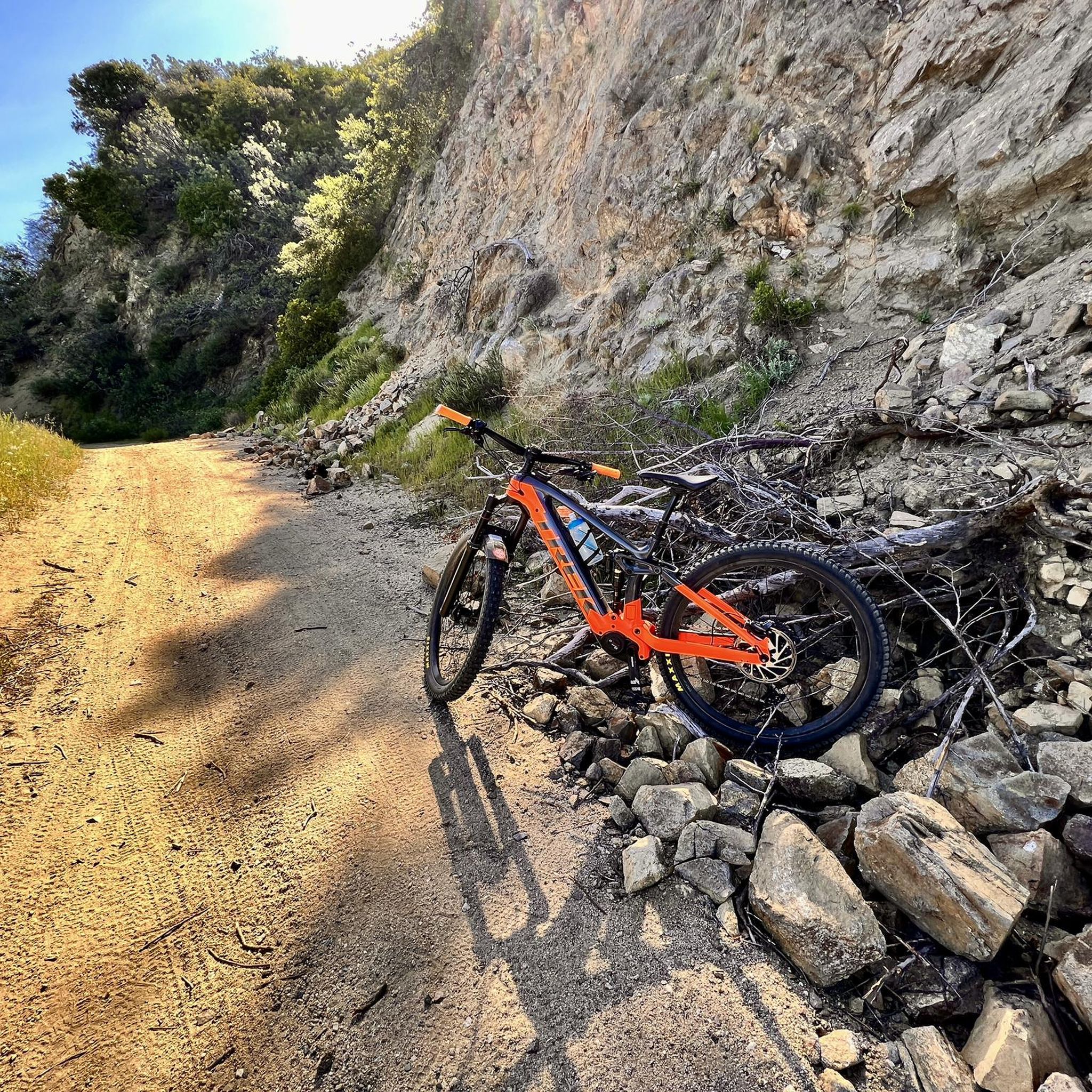
The Mountains Recreation and Conservation Authority (MRCA) Open Space includes a network of dirt roads through Elsmere and Whitney Canyons. There roads are also great sunny biking trails, from which you get great views of the mountains of Angeles National Forest.
0
0

This is a gravel road that offers great views and access to the Viper trail.
1
0
Frequently Asked Questions
How many hiking trails are available in Santa Clarita?
Santa Clarita offers a wide variety of hiking experiences with over 30 routes documented on komoot, ranging from easy strolls to more challenging climbs. The region boasts thousands of acres of public open space and over 100 miles of trails in total.
What kind of landscapes can I expect to see while hiking in Santa Clarita?
The Santa Clarita region features diverse landscapes, including peaceful oak woodlands, dramatic rock formations, and scenic overlooks. You'll find trails winding through canyons, along creeks, and up to ridge lines offering expansive views. Areas like Placerita Canyon provide lush, shaded paths, while Towsley Canyon showcases rugged, geological wonders.
Are there any family-friendly hiking options in Santa Clarita?
Yes, Santa Clarita has many family-friendly trails. Hart Trail loop — William S. Hart County Park is an easy 3 km path perfect for a pleasant walk. Placerita Canyon Natural Area also offers gentle nature walks and a nature center with live animal presentations, ideal for families.
Where can I find trails with waterfalls in Santa Clarita?
For a chance to see a waterfall, head to Placerita Canyon Natural Area. It features trails that lead to a seasonal waterfall, offering a refreshing sight, especially after rainfall. The area's oak woodlands also provide a peaceful setting for your walk.
Are there any challenging hikes for experienced trekkers?
Yes, for more experienced hikers seeking a challenge, areas like Towsley Canyon offer rugged beauty and more demanding terrain with sweeping valley views. The Los Pinetos Peak — Placerita Canyon State Park route is a moderate 11.6 km climb with significant elevation gain, leading to panoramic vistas.
What are some notable landmarks or points of interest along the trails?
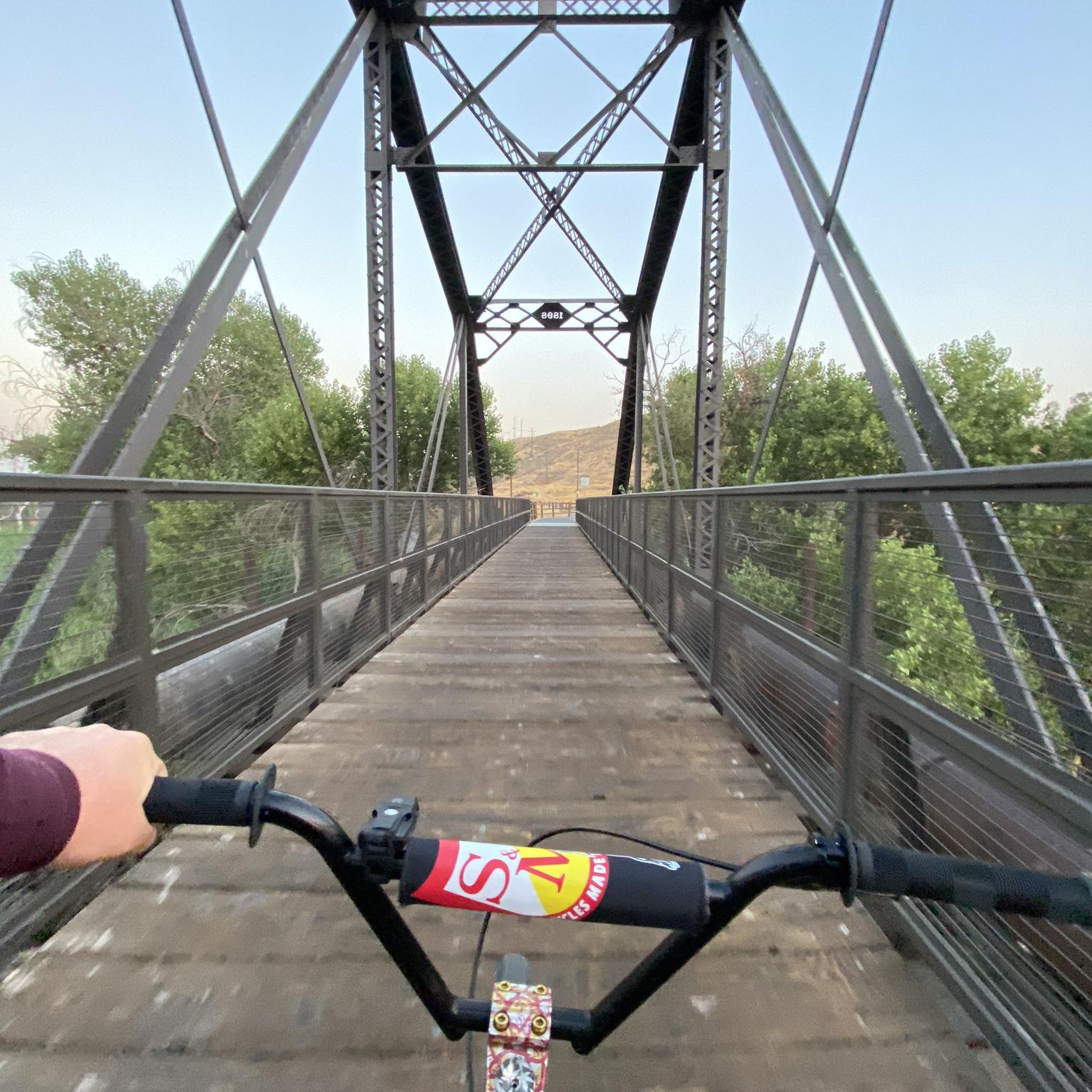
Santa Clarita's trails offer several interesting landmarks. The distinctive, angular rock formations of Vasquez Rocks Natural Area Park are iconic. Placerita Canyon is historically significant as the site of California's first gold discovery. You might also encounter the Iron Horse Bridge or the Santa Clara River.
What do other hikers enjoy most about hiking in Santa Clarita?
The hiking trails in Santa Clarita are highly rated by the komoot community, with an average score of 4.6 stars from over 30 reviews. Hikers often praise the diverse scenery, from shaded oak woodlands to dramatic rock formations, and the variety of trails suitable for all skill levels.
Are there any loop trails available in Santa Clarita?
Yes, many trails in Santa Clarita are designed as loops, providing a varied experience without retracing your steps. The Elsmere Canyon Loop — Newhall, California is a popular moderate 4.8 km option that takes you through canyons and along a creek. Another easy loop is the Valencia Summit Park loop.
What is the best time of year to go hiking in Santa Clarita?
Santa Clarita benefits from year-round sunshine, making it an accessible outdoor haven throughout the year. While hiking is possible in all seasons, spring and fall offer particularly pleasant temperatures. Even in winter, the mild climate allows for comfortable outdoor activities.
Are there trails that offer panoramic views of Santa Clarita?
Absolutely. Many trails in Santa Clarita lead to stunning viewpoints. Towsley Canyon is known for its sweeping valley views and dramatic rock formations. Higher points in Elsmere Canyon and Whitney Canyon Park also provide excellent panoramas of the Santa Clarita Valley and surrounding landscapes.
Can I find shaded trails for hiking during warmer days?
Yes, several areas in Santa Clarita offer welcome shade, especially beneficial during warmer periods. Placerita Canyon Natural Area is known for its peaceful walks through oak woodlands. Elsmere Canyon also features sections where you can walk along a creek in the shade, providing a cooler hiking experience.
Most popular routes around Santa Clarita
Most popular attractions around Santa Clarita

Get inspired with the komoot mobile app


Explore more
Browse the best Hikes in other regions.
