The best MTB trails around Santa Clarita
4.8
(19)
233
riders
14
rides
Mountain biking around Santa Clarita offers diverse terrain across extensive trail systems and natural features. The region is characterized by surrounding mountain ranges, including the San Gabriel, Santa Susana, and Sierra Pelona Mountains, alongside numerous canyons and thousands of acres of public open space. This landscape provides varied experiences, from steep climbs and technical singletrack to flowing descents and bermed turns.
Best mountain bike trails around Santa Clarita
- The most popular mountain bike trail is Towsley Canyon – Santa Clarita…
Last updated: October 16, 2026

4.0
(3)
10
riders
8.53km
00:59
310m
310m
Moderate mountain bike ride. Good fitness required. Suitable for all skill levels.
5.0
(3)
22
riders
34.2km
01:52
190m
190m
Easy mountain bike ride. Great for any fitness level. Suitable for all skill levels.

5.0
(1)
13
riders
18.6km
01:00
90m
90m
Easy mountain bike ride. Great for any fitness level. Suitable for all skill levels.
7
riders
20.3km
02:01
530m
530m
Hard mountain bike ride. Good fitness required. Advanced riding skills necessary. Some portions of the route may require you to push your bike.
7
riders
54.3km
03:30
450m
450m
Hard mountain bike ride. Good fitness required. Advanced riding skills necessary. Some portions of the route may require you to push your bike.
Get access to more routes and recommendations from other explorers.
Already have an account?
Our route recommendations are based on thousands of hikes, rides, and runs completed by other people on komoot.
Start today with a free account
Your next adventure awaits.

Tips from the Community

At about 84 miles long, the Santa Clara River is the largest natural river system in southern California remaining in a relatively undeveloped state. Along its length there is the 8 mile long Santa Clara River Trail, which is a paved bicycle and walking path in the city of Santa Clarita.
0
0

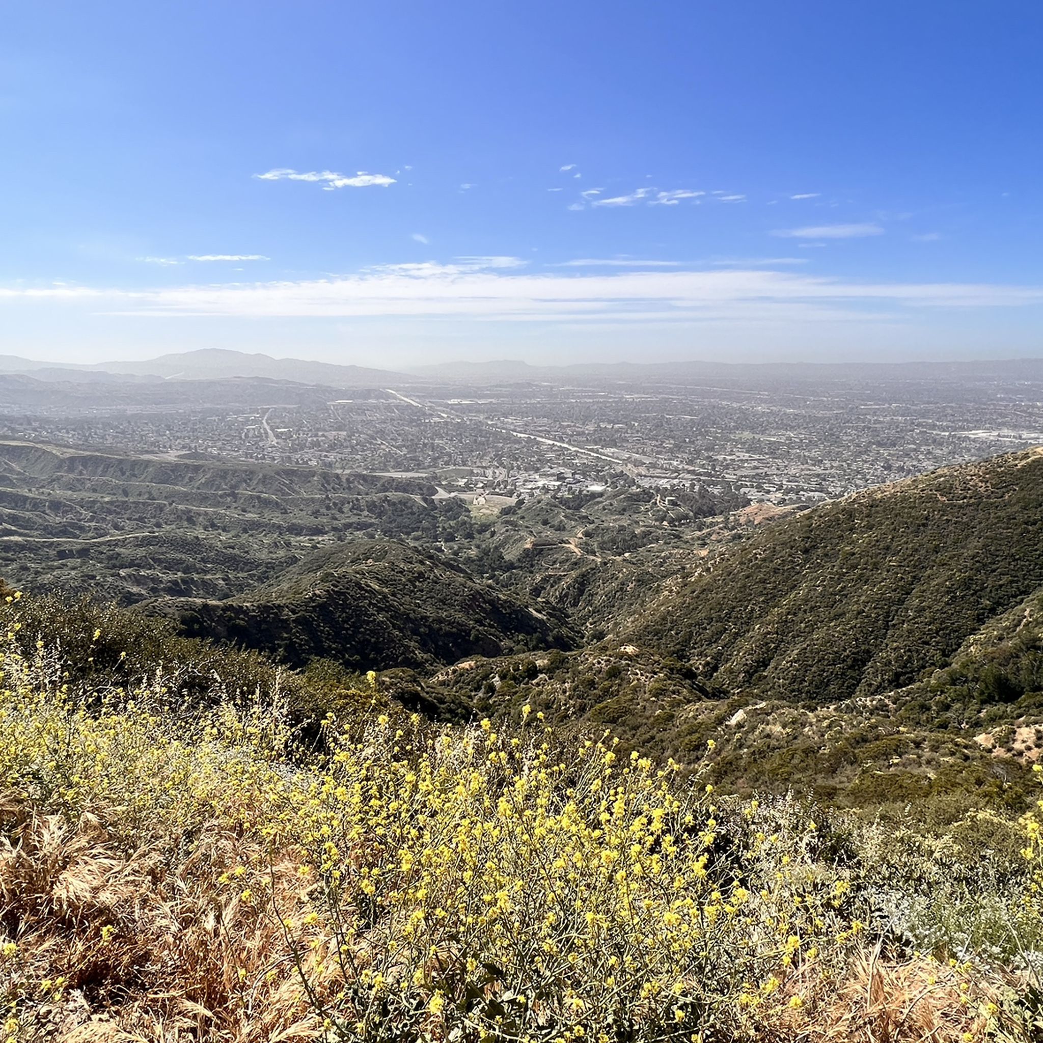
From this spot just off of the San Francisquito Creek Trail in Santa Clarita, CA, you get fantastic open views down the valley across the grasslands and of the powerlines. This is a nice place to stop and sip some water or snap a photo before continuing on your ride.
0
0

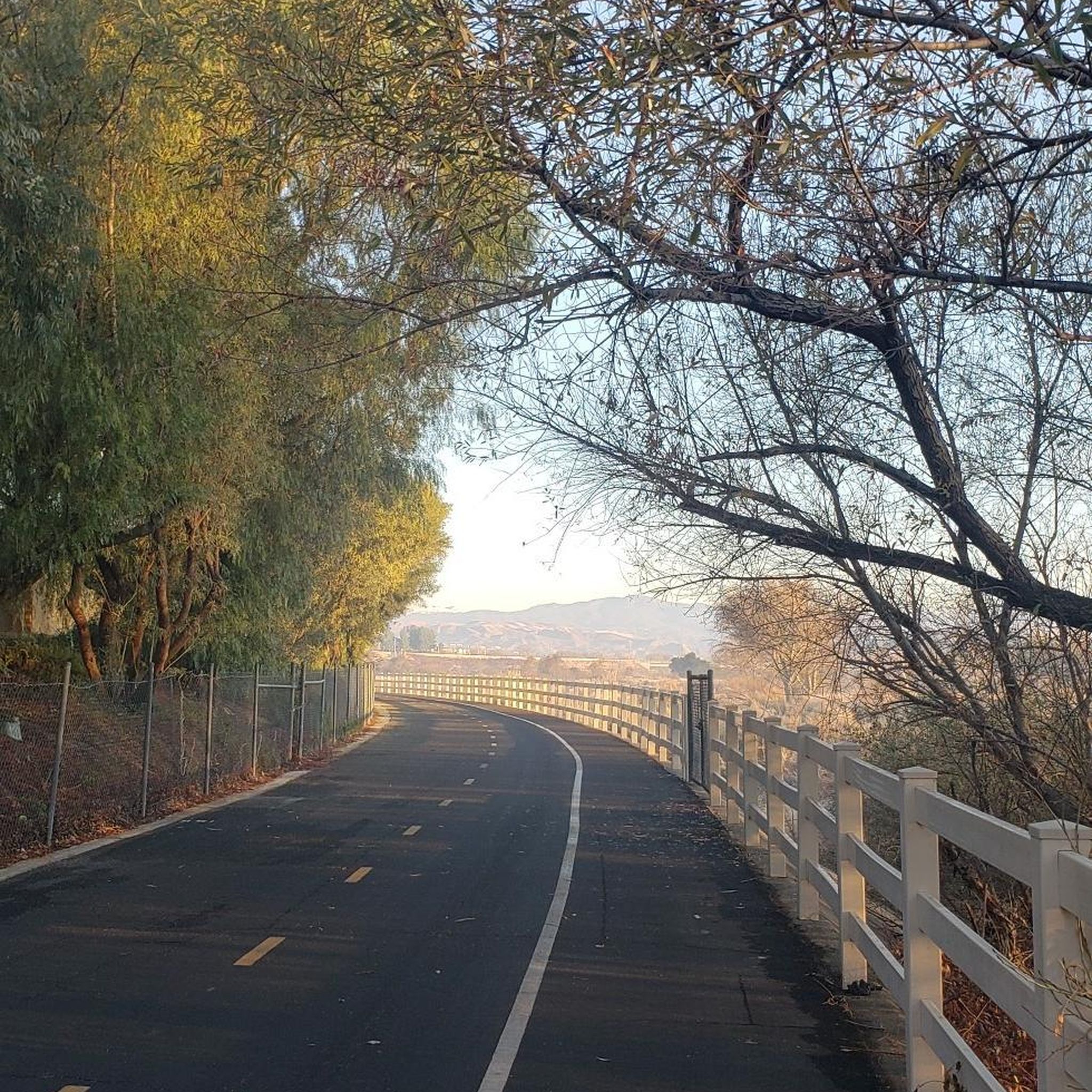
The San Francisquito Creek Trail travels through various parks and across different bridges on the banks of the Santa Clara River and San Francisquito Creek. The path is completely paved and goes on both sides of the creek, giving you the chance to run or cycle a loop depending on what trailhead you start at.
0
0
At about 84 miles long, the Santa Clara River is the largest natural river system in southern California remaining in a relatively undeveloped state. Along its length there is the 8 mile long Santa Clara River Trail, which is a paved bicycle and walking path in the city of Santa Clarita.
0
0
The San Francisquito Creek Trail travels through various parks and across different bridges on the banks of the Santa Clara River and San Francisquito Creek. The path is completely paved and goes on both sides of the creek, giving you the chance to run or cycle a loop depending on what trailhead you start at.
0
0

Great riverside trail that runs through Santa Clarita along the Santa Clara River. The path is traffic free, so it's a great place for a family walk.
0
0
The San Francisquito Creek Trail travels through various parks and across different bridges on the banks of the Santa Clara River and San Francisquito Creek. The path is completely paved and goes on both sides of the creek, giving you the chance to run a loop depending on what trailhead you start at.
0
0
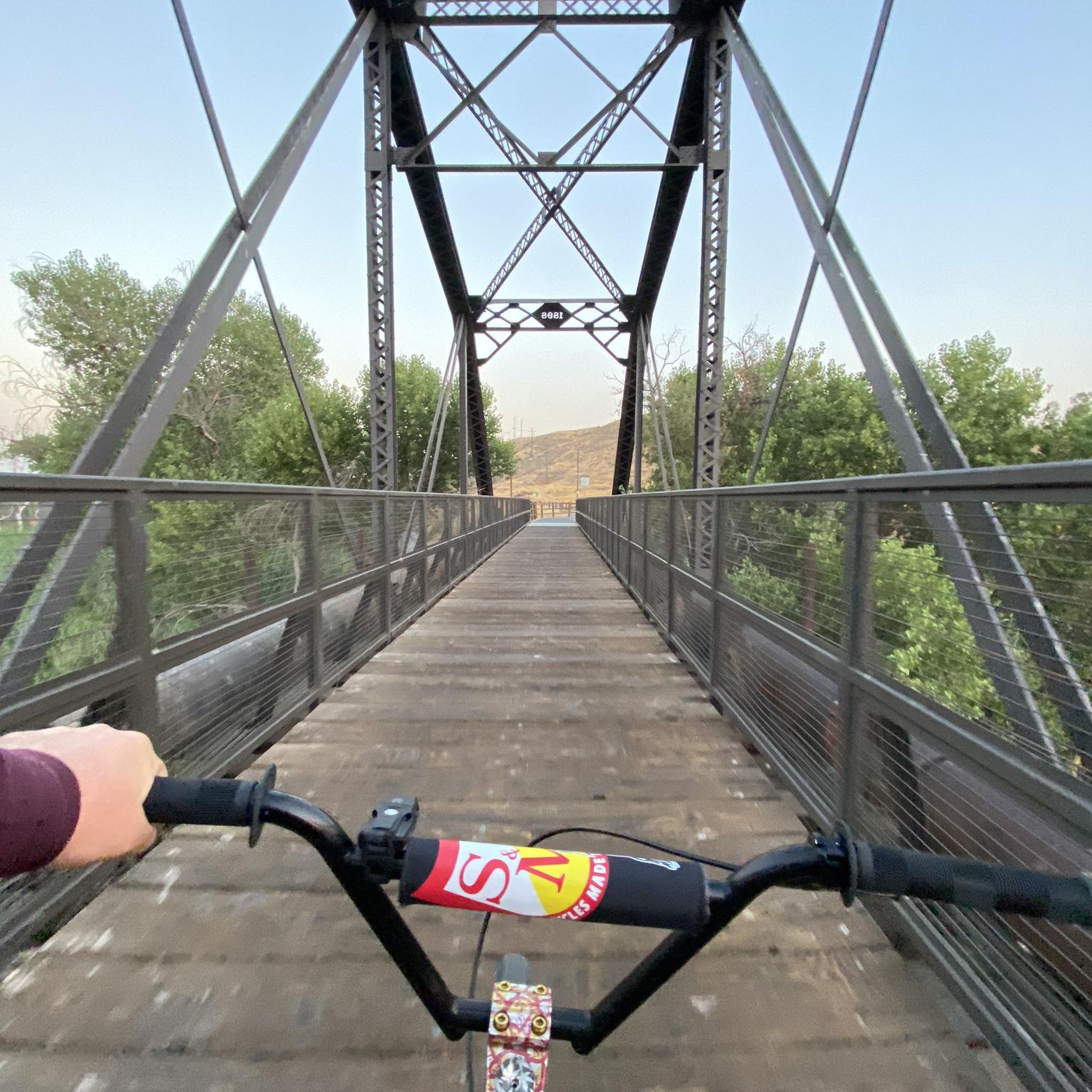
The Iron Horse Bridge is an old railway bridge that has now been turning into a pedestrian bridge. It is part of the South Fork River Trail and takes users over the Santa Clara River.
1
0
Frequently Asked Questions
How many mountain bike trails are available in Santa Clarita?
Santa Clarita offers a diverse network of over 15 mountain bike trails, catering to various skill levels. These routes are spread across extensive open spaces and canyons, providing a wide range of experiences.
Are there mountain bike trails suitable for beginners or families in Santa Clarita?
Yes, Santa Clarita has several easy and family-friendly options. For a relatively flat and accessible ride, consider the Santa Clara River – San Francisquito Creek Trail loop from Santa Clarita, which follows paved paths along the river and creek. The region's dedicated bike parks also offer green-rated trails for skill development.
What are some challenging mountain bike trails for experienced riders?
Experienced riders will find plenty of challenges in Santa Clarita. The O'Melveny Park and Mission Point Loop is a difficult 12.5-mile path with significant elevation gain and expansive views. Other areas like East Canyon are known for technical terrain and exhilarating descents.
Can I bring my dog on the mountain bike trails in Santa Clarita?
Many trails in Santa Clarita's open spaces are dog-friendly, but it's always best to check specific trail regulations before you go. Generally, dogs are welcome on leash in most public open spaces. Ensure your dog is well-behaved and can keep up with the pace.
What kind of natural features or landmarks can I see while mountain biking in Santa Clarita?
Santa Clarita's trails offer access to stunning natural features. You can ride near the dramatic rock formations of Vasquez Rocks Natural Area Park, explore the oak woodlands of Placerita Canyon, or enjoy the scenic overlooks and rugged beauty of Towsley Canyon. The Santa Clara River also provides picturesque views along its trail.
Are there any dedicated bike parks in Santa Clarita?
Yes, Santa Clarita is home to the Bike Park of Santa Clarita, which features seven acres of single-track trails ranging from easy to difficult, along with pump and BMX tracks. Additionally, the new Haskell Canyon Bike Park is set to open in December 2025, offering 15 miles of trails for all abilities.
What is the best time of year to go mountain biking in Santa Clarita?
The best time for mountain biking in Santa Clarita is typically during the cooler months, from fall through spring (October to May). Summers can be very hot, making early morning or late afternoon rides preferable if riding during this season. Always check local weather forecasts before heading out.
Are there any circular mountain bike routes in the area?
Yes, many of Santa Clarita's mountain bike trails are designed as loops, allowing for varied scenery without retracing your steps. The Santa Clara Trail – Placerita Canyon Trail loop from MRCA Open Space is a popular circular route through oak woodlands and along river paths.
What do other mountain bikers enjoy most about the trails in Santa Clarita?
The mountain bike trails in Santa Clarita are highly rated by the komoot community, with an average score of 4.9 stars. Reviewers often praise the diverse terrain, from challenging climbs to fast-flowing singletrack, and the stunning natural beauty of the canyons and open spaces.
Is parking available at the trailheads?
Most major trailheads and open space areas in Santa Clarita offer designated parking facilities. For specific routes, it's advisable to check the route details on komoot or local park websites for precise parking information and any potential fees or restrictions.
Can I use an e-MTB on the trails in Santa Clarita?
Yes, e-MTBs are generally permitted on many trails in Santa Clarita, especially those in public open spaces. They can be particularly helpful for tackling the region's steep climbs and longer, more technical routes, allowing riders to cover more ground and enjoy the challenging terrain with assistance.
Are there any trails that offer views of Castaic Lake?
While Castaic Lake itself is a short drive from Santa Clarita and offers water-based activities, some trails in the surrounding areas, such as the Entrance to G out trail loop from Castaic, may provide views or access to the lake's vicinity, enhancing the overall outdoor experience.
Most popular routes around Santa Clarita
Most popular attractions around Santa Clarita

Get inspired with the komoot mobile app


Explore more
Browse the best MTB trails in other regions.
