The best running trails around Anthem
121
runners
18
runs
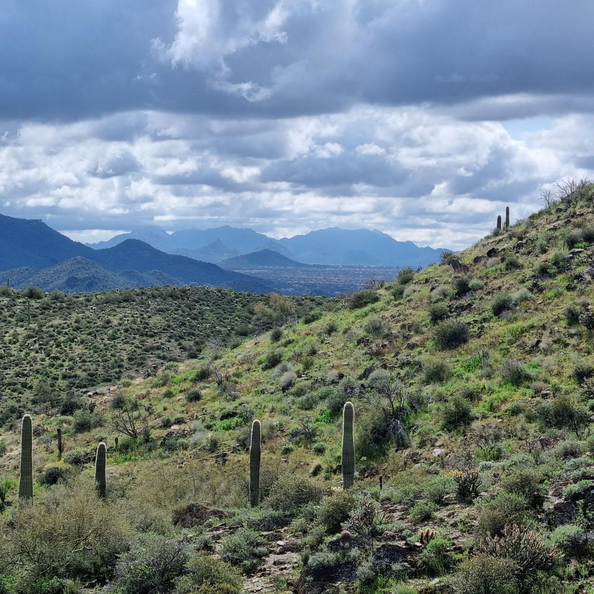
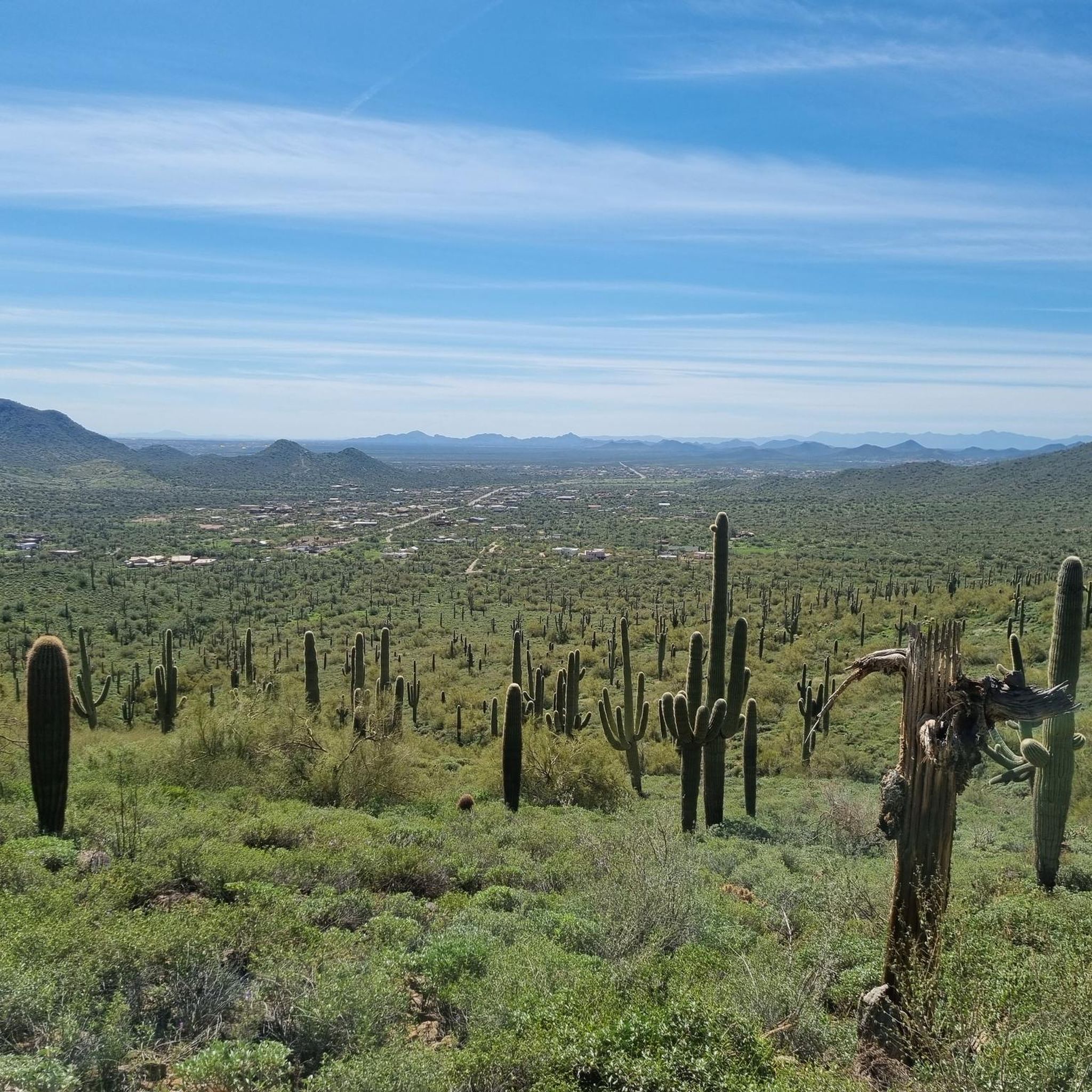
Jogging around Anthem offers a unique experience within the Sonoran Desert landscape, characterized by rolling hills, natural wash areas, and distinctive saguaro cacti. The region provides expansive views of surrounding mountains, including Daisy Mountain, and features a well-developed network of paths. Joggers can explore a variety of terrains, from flat community park trails to more challenging desert paths. This environment supports a range of running activities, from leisurely jogs to more strenuous trail runs.
Best jogging routes around Anthem
- The…
Last updated: August 20, 2026
10
runners
5.61km
00:35
40m
40m
Moderate run. Good fitness required. Mostly paved surfaces. Suitable for all skill levels.
10
runners
22.2km
02:38
450m
450m
Hard run. Very good fitness required. Mostly paved surfaces. Suitable for all skill levels.

Sign up for free
7
runners
36.8km
04:16
500m
500m
Hard run. Very good fitness required. Mostly paved surfaces. Suitable for all skill levels.
6
runners
13.9km
01:29
70m
70m
Moderate run. Good fitness required. Mostly paved surfaces. Suitable for all skill levels.
5
runners
8.21km
01:02
150m
150m
Moderate run. Good fitness required. Mostly paved surfaces. Suitable for all skill levels.
Get access to more routes and recommendations from other explorers.
Sign up for free
Already have an account?
Our route recommendations are based on thousands of hikes, rides, and runs completed by other people on komoot.
Start today with a free account
Your next adventure awaits.
Login or Signup

Tips from the Community

Very easy and beautiful trail. Bring plenty of water if it is hot.
0
0

From this point, you can leave the Go John Trail and take the Clay Mine Trail, named after the mine it passes by. In this mine, only clay was found despite being excavated in hopes of finding gold, and a woman named Leila P. Irish decided to bottle the clay from this mine and sell it as a cure-all elixir. It's a multi-use trail, commonly frequented by hikers, runners, and horse riders.
1
0

This trail has a bit of everything from flowy downhills, tough climbs, and techy sections (especially around the middle of the loop). It is a multi-use trail so be aware of others when cornering or going downhill. You can also connect to a few other trails and make it a longer ride if you have the time & energy.
0
0
Sidewinder Trail is popular with mountain bikers but you will find hikers and runners using it as well. While not too technical, the trail earns an intermediate rating due to the punchy climbs. As with all the trails around Phoenix, shade is hard to find, so be sure to bring plenty of water and take breaks.
1
0

Easy trail with not much elevation gain that is accessed from either Go John or Slate trail, it’s a nice option to hike the ridge and have some amazing views of the area.
0
0
Beautiful section of trail offering great views. It's rocky in places but not too bad, be sure to bring plenty of water.
0
0
Great place for a water break with an excellent view across the valley.
0
0
Frequently Asked Questions
What types of running routes can I find in Anthem?
Anthem offers a diverse range of running routes, from relatively flat paths within community parks to more challenging desert trails with varying elevations. You'll find options suitable for leisurely jogs and more strenuous trail runs, all set against the stunning backdrop of the Sonoran Desert and views of the Bradshaw Mountains.
Are there any easy or beginner-friendly jogging routes in Anthem?
Yes, for beginners or those seeking an easier run, the extensive walking paths within the Anthem Community Park are an excellent choice. These paths offer picturesque views of the desert landscape and lakes, providing a gentle and scenic experience. The 15-mile neighborhood trail system also offers many accessible options.
Where can I find more challenging running trails near Anthem?
For a more challenging run, consider trails like Go John Trail – Clay Mine loop from Rodger Creek, which covers over 22 km with significant elevation gain. The Daisy Mountain trails also provide varying difficulty levels and panoramic views, though a permit from the State Land Department is required for access.
Are there any circular running routes available in Anthem?
Many of the popular running routes in Anthem are designed as loops, offering a continuous and engaging experience. For example, the Running loop from Anthem is a moderate 5.6 km circular trail, and the Running loop from Maricopa Trail Parking offers a longer 13.9 km loop through desert terrain.
What kind of scenery can I expect while jogging in Anthem?
Jogging in Anthem immerses you in the unique beauty of the Sonoran Desert. You'll encounter rolling hills, natural wash areas, and iconic saguaro cacti. Routes often provide expansive views of surrounding mountains like Daisy Mountain and the Bradshaw Mountains, with some trails featuring lakes and ponds within community parks.
Are there any dog-friendly running trails in the Anthem area?
Many trails in Anthem are dog-friendly, allowing you to enjoy a run with your canine companion. The 6.3-mile section of the Maricopa Trail that runs through Anthem is a great option, known for being relatively flat and horse-friendly, making it suitable for dogs too. Always ensure your dog is on a leash and you carry water for both of you, especially in the desert climate.
What are some interesting landmarks or natural features to see along the running routes?
While running in Anthem, you can encounter several notable natural features. The Anthem Community Park itself features multiple lakes and ponds. For more rugged exploration, you might spot Dixie Mountain in the distance, or run along sections of the Apache Wash Trail or Go John Trail, which are part of the nearby Phoenix Sonoran Desert Preserve.
Are there family-friendly jogging options in Anthem?
Absolutely! The Anthem Community Park is ideal for families, featuring extensive walking paths that are safe and enjoyable for all ages. Beyond jogging, the park offers playgrounds and other amenities, making it a great destination for a family outing. The neighborhood trail system also provides many accessible and safe paths for families.
What do other runners say about the trails in Anthem?
The running routes in Anthem are highly rated by the komoot community, with an average score of 4.0 stars from more than 70 runners. Reviewers often praise the unique desert landscape, the variety of terrain, and the well-maintained paths that offer both scenic beauty and a good workout.
Where can I park when accessing running trails in Anthem?
Many running routes in Anthem offer convenient parking. For instance, the Running loop from Maricopa Trail Parking starts directly from a dedicated parking area, making access straightforward. The Anthem Community Park also provides ample parking for its extensive trail system.
What is the best time of day or year to go jogging in Anthem?
Given Anthem's desert climate, the best times to jog are typically during the cooler parts of the day, such as early mornings or late afternoons, especially in warmer months. Fall, winter, and spring offer more temperate conditions throughout the day, making them ideal seasons for exploring the trails comfortably.
How long are the running routes around Anthem?
The running routes around Anthem vary significantly in length. You can find shorter, moderate loops like the Running loop from Anthem, which is about 5.6 km. For longer runs, options like the Running loop from The Outlets at Anthem extend to over 16 km, and some difficult routes can be over 36 km.
Most popular routes around Anthem
Most popular attractions around Anthem

Get inspired with the komoot mobile app


Explore more
Browse the best Running Trails & Routes in other regions.
