The best cycling routes around Anthem
4.9
(12)
172
riders
9
rides
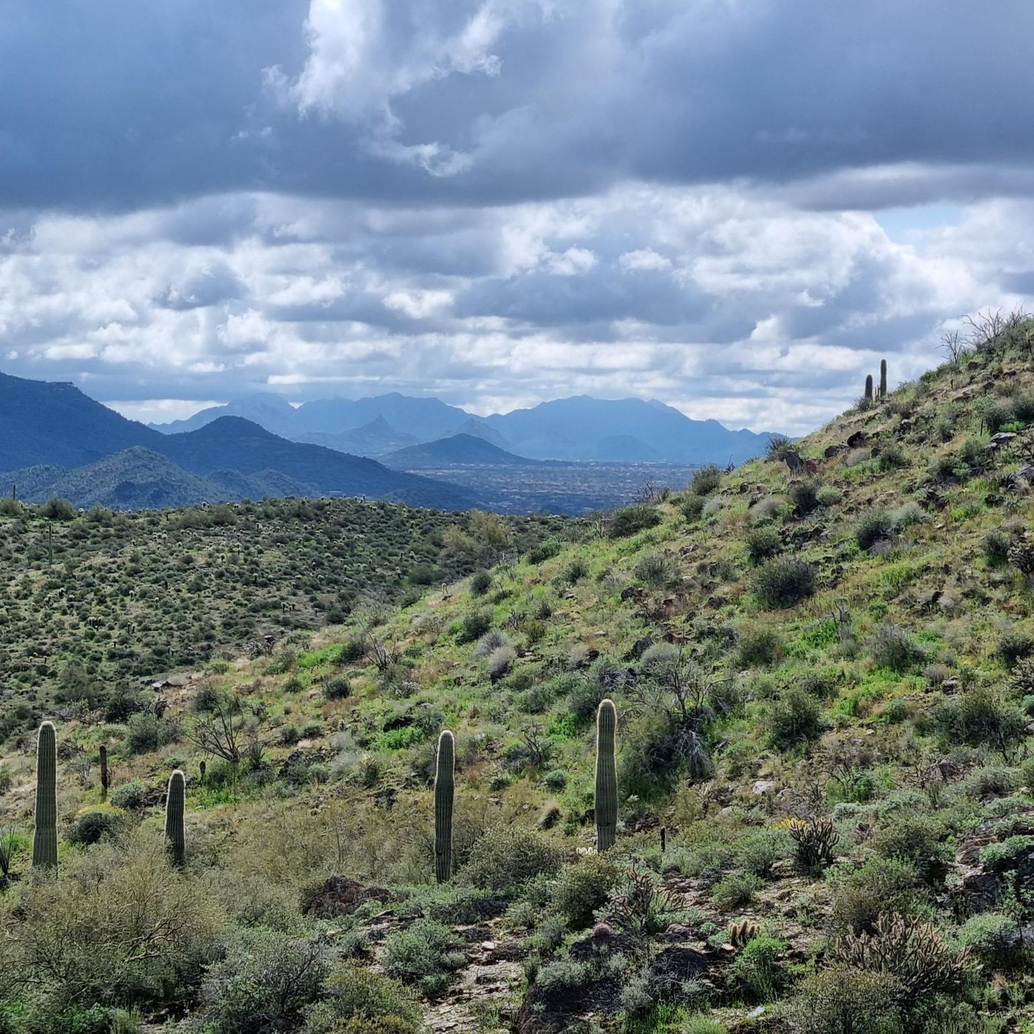
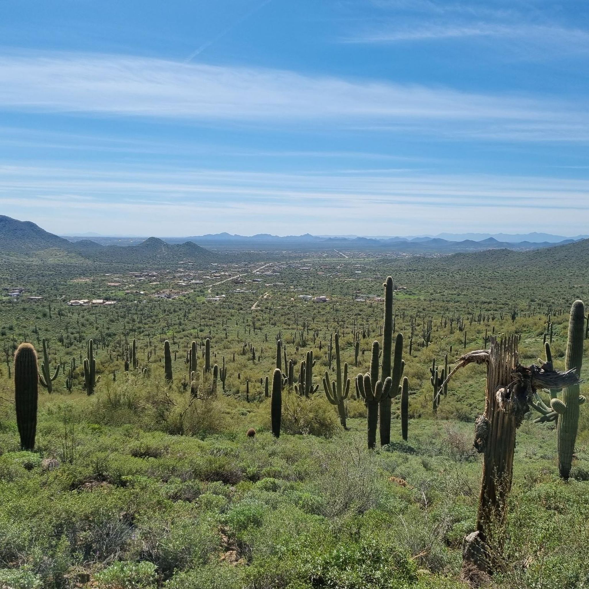
Touring cycling around Anthem, Arizona, is characterized by its Sonoran Desert landscapes and diverse trail systems. The region is situated at the base of the Phoenix Mountain Preserve, offering a natural environment with desert scenery, including cacti and Palo Verde trees. The terrain features a mix of well-maintained paved paths and unpaved sections, providing varied cycling experiences.
Best touring cycling routes around Anthem
- The most popular touring cycling route is Skip Rimsza Paseo, a 9.6 miles (15.5 km) trail that takes about 53 minutes to complete. This easy route winds through the Phoenix Sonoran Preserve, providing scenic desert vistas.
- Another top favourite among local touring cyclists is Bike loop from Horse Trailer Parking, a moderate 10.4 miles (16.7 km) path. This route offers varied terrain and takes approximately 1 hour 33 minutes to complete.
- Local touring cyclists also love the Apache Wash Trailhead loop from Desert Hills, a 17.7 miles (28.5 km) trail leading through the Apache Wash area, often completed in about 2 hours 45 minutes.
- Touring cycling around Anthem is defined by Sonoran Desert landscapes, the Phoenix Sonoran Preserve, and numerous hills. The network offers options for different ability levels, from easy paved paths to moderate routes with mixed surfaces.
- The routes in Anthem are highly rated by the komoot community with an average score of 4.9 stars from over 13 reviews. More than 130 touring cyclists have used komoot to explore Anthem's varied terrain.
Last updated: October 13, 2026
5.0
(7)
7
riders
15.5km
00:53
70m
70m
The Skip Rimsza Paseo offers a wonderfully smooth touring cycling experience through the heart of the Phoenix Sonoran Preserve. This easy 9.6-mile (15.5 km) paved route, with a gentle 238 feet (73 metres) of elevation gain, guides you past expansive desert vistas, showcasing diverse plant life like cacti and desert brush. Expect a relaxed ride that takes around 53 minutes, making it a fantastic option for a quick, scenic outing.
For logistics, the Apache Wash Trailhead is your primary access point, providing ample parking and essential amenities like restrooms and shelters. Remember to pack plenty of water and sun protection, as the desert sun can be intense and shade is sparse along the route. Riding in the cooler parts of the day, such as early morning or late afternoon, is highly recommended for a more comfortable experience.
This multi-use trail is a gem for those seeking an immersive desert experience without the challenges of unpaved terrain, making it ideal for family friendly Paseo touring cycling routes. Its entirely paved surface is perfect for road bikes, and its connection to other paths like the Ocotillo Trail allows for longer rides if you wish to explore more of the Phoenix Sonoran Preserve. The trail's accessibility and gentle profile make it a standout for beginner Paseo touring cycling difficulty.
31
riders
22.6km
02:01
390m
390m
Moderate bike ride. Good fitness required. Mostly paved surfaces. Suitable for all skill levels.

5.0
(2)
11
riders
18.9km
01:11
110m
110m
Easy bike ride. Great for any fitness level. Mostly paved surfaces. Suitable for all skill levels.
5
riders
8.13km
00:48
150m
150m
Easy bike ride. Great for any fitness level. Mostly paved surfaces. Suitable for all skill levels.
4.5
(2)
6
riders
15.9km
01:00
80m
80m
Easy bike ride. Great for any fitness level. Mostly paved surfaces. Suitable for all skill levels.
Get access to more routes and recommendations from other explorers.
Already have an account?
Our route recommendations are based on thousands of hikes, rides, and runs completed by other people on komoot.
Start today with a free account
Your next adventure awaits.


Tips from the Community

The Paseo Pathway runs about 6.5 miles in total. It's a wide, concrete pathway that links together several other trails, along with East Sonoran Desert Drive and East Dove Valley Road.
0
0

The Apache Wash Trailhead parking area has restrooms, water, and covered picnic areas. Also, if you're here for sunrise or sunset you'll be generously rewarded.
0
0
Ridgeback Overlook has stunning views across the valley to the mountains on the opposite side. It's a tough climb to one of the highest points in the Preserve but the views are worth it. Great place to be for sunset!
0
0
Sidewinder Trail is popular with mountain bikers but you will find hikers and runners using it as well. While not too technical, the trail earns an intermediate rating due to the punchy climbs. As with all the trails around Phoenix, shade is hard to find, so be sure to bring plenty of water and take breaks.
1
0
Ridgeback Overlook has stunning views across the valley to the mountains on the opposite side. Great place to be for sunset!. It is exposed so be aware of any thunderstorms in the area.
1
0

All of the picturesque views from the Ridgeback Overlook view out to the south and east, but there are also great views to the north once you come down from the overlook and get back on the main trail.
0
0
Cool saguaro cactus right by the junction. Both trails offer great views and plenty of plant life. Be sure to bring water as there isn't much shade on either route.
0
0

Frequently Asked Questions
What types of touring cycling routes can I find in Anthem?
Anthem offers a variety of touring cycling routes through its Sonoran Desert landscapes, catering to different skill levels. You'll find a mix of well-maintained paved paths and unpaved sections. There are 11 routes in total, with 5 classified as easy and 6 as moderate.
Are there any easy, family-friendly touring cycling routes in Anthem?
Yes, Anthem has several easy routes suitable for families. The Skip Rimsza Paseo is a popular choice, offering a 15.5 km (9.6 miles) ride through the Phoenix Sonoran Preserve with scenic desert vistas, mostly on paved surfaces. Another easy option is the Apache Wash Trailhead loop from Bobcat Trailhead Parking, which is 18.9 km long.
What are some longer or more challenging touring cycling routes in the Anthem area?
For those seeking a moderate challenge, the Desert Enclave Preserve – Apache Wash Trailhead loop from Bobcat Trailhead Parking is a 37.6 km (23.4 miles) route. Another option is the Apache Wash Trailhead loop from Desert Hills, which covers 28.5 km (17.7 miles) and leads through the Apache Wash area.
Are there any circular touring cycling routes in Anthem?
Yes, many of the touring cycling routes in Anthem are loops, offering a convenient way to explore the area without retracing your steps. Examples include the Bike loop from Horse Trailer Parking, the Apache Wash Trailhead loop from Desert Hills, and the Apache Wash Trailhead loop from Bobcat Trailhead Parking.
What kind of scenery can I expect while touring cycling in Anthem?
Anthem's touring cycling routes are defined by stunning Sonoran Desert landscapes. You'll encounter classic desert scenery, including various cacti and Palo Verde trees, especially within the Phoenix Sonoran Preserve and along trails like the Apache Wash Trail. Many routes also offer views of surrounding mountains and hills.
What do other touring cyclists say about the routes in Anthem?
The touring cycling routes around Anthem are highly rated by the komoot community, with an average score of 4.9 stars from over 13 reviews. Cyclists often praise the diverse terrain, scenic desert vistas, and the well-maintained nature of the paths. Over 130 touring cyclists have used komoot to explore Anthem's varied terrain.
Are there any notable landmarks or natural features to see along the touring cycling routes?
Absolutely. Many routes traverse or offer views of significant natural features. You can spot Dixie Mountain, a prominent summit offering panoramic views. The Apache Wash Trail itself is known for wildlife spotting, and you might find viewpoints like Ridgeback Overlook along your ride.
What is the best time of year to go touring cycling in Anthem, Arizona?
The best time for touring cycling in Anthem is typically during the cooler months, from late fall through early spring (October to April). During this period, temperatures are more moderate, making for a more comfortable ride. Summers can be extremely hot, so early morning rides are essential if cycling during those months.
Are there amenities like restrooms or water available at trailheads?
Yes, the Apache Wash Trailhead, a common starting point for several routes, provides amenities such as restrooms, water, and picnic areas, making it a convenient base for your cycling adventures.
What are the parking options for accessing touring cycling routes in Anthem?
Many routes, particularly those within the Phoenix Sonoran Preserve and Apache Wash area, have designated parking areas. For example, there are trailheads with parking like the Bobcat Trailhead Parking and the Horse Trailer Parking, which serve as starting points for various loops.
Can I expect to see wildlife while cycling in Anthem?
Yes, the Sonoran Desert environment around Anthem is rich in wildlife. The Apache Wash Trail, for instance, is known for opportunities to observe diverse species, including over 370 bird species, 170 butterfly species, and various mammals like mountain lions, coatis, and white-tailed deer. Keep an eye out, especially during cooler parts of the day.
Are there any other trails or parks nearby that connect to Anthem's cycling routes?
Anthem's trail system connects to broader networks. The Paseo Pathway, a wide concrete trail, links to other trails and roads. The expansive Phoenix Sonoran Preserve is integral to many routes, and the Maricopa Trail also borders the Anthem area, offering further exploration opportunities.
Most popular routes around Anthem
Most popular attractions around Anthem

Get inspired with the komoot mobile app


Explore more
Browse the best Cycling routes in other regions.
