The best road cycling routes around Anthem
4.0
(2)
60
riders
3
rides
Road cycling around Anthem, Arizona, is characterized by its Sonoran Desert landscapes and a network of predominantly paved routes. The region features diverse trail systems, including pathways that link to other roads and trails. Cyclists can experience scenic desert views, particularly within the Phoenix Sonoran Preserve, with routes offering minimal to moderate elevation changes. The terrain is largely paved, accommodating various skill levels.
Best road cycling routes around Anthem
- The most popular road cycling route is Paseo Pathway (Paseo Trail) – Apache Wash Trailhead loop from Equestrian Trailer Parking, a 24.4 miles (39.3 km) trail that takes 1 hour 35 minutes to complete. This route offers scenic desert views along a prominent pathway.
- Another top favourite among local road cyclists is Apache Wash Trailhead – Paseo Pathway (Paseo Trail) loop from Equestrian Trailer Parking, an easy 15.0 miles (24.2 km) path. This route winds through the Phoenix Sonoran Preserve, showcasing desert scenery with minimal elevation changes.
- Local road cyclists also love the Roadbike loop from Anthem, a 21.3 miles (34.4 km) trail leading through the desert landscape, often completed in about 1 hour 40 minutes.
- Road cycling around Anthem is defined by expansive desert views, characteristic cacti, and natural wash areas. The network offers options for various ability levels, from easy, flat paths to routes with moderate elevation gains.
- The routes in Anthem are highly rated by the komoot community with an average score of 3.0 stars from 1 review. More than 60 road cyclists have used komoot to explore Anthem's varied terrain.
Last updated: July 10, 2026
5.0
(1)
20
riders
Easy road ride. Great for any fitness level. Mostly well-paved surfaces and easy to ride.
13
riders
Easy road ride. Great for any fitness level. Mostly well-paved surfaces and easy to ride.

Sign up for free
3.0
(1)
11
riders
43.3km
01:52
230m
230m
Easy road ride. Great for any fitness level. Mostly well-paved surfaces and easy to ride.
7
riders
Easy road ride. Great for any fitness level. Mostly well-paved surfaces and easy to ride.
4
riders
34.4km
01:41
200m
200m
Easy road ride. Great for any fitness level. Mostly well-paved surfaces and easy to ride.
Our route recommendations are based on thousands of hikes, rides, and runs completed by other people on komoot.
Start today with a free account
Your next adventure awaits.
Login or Signup

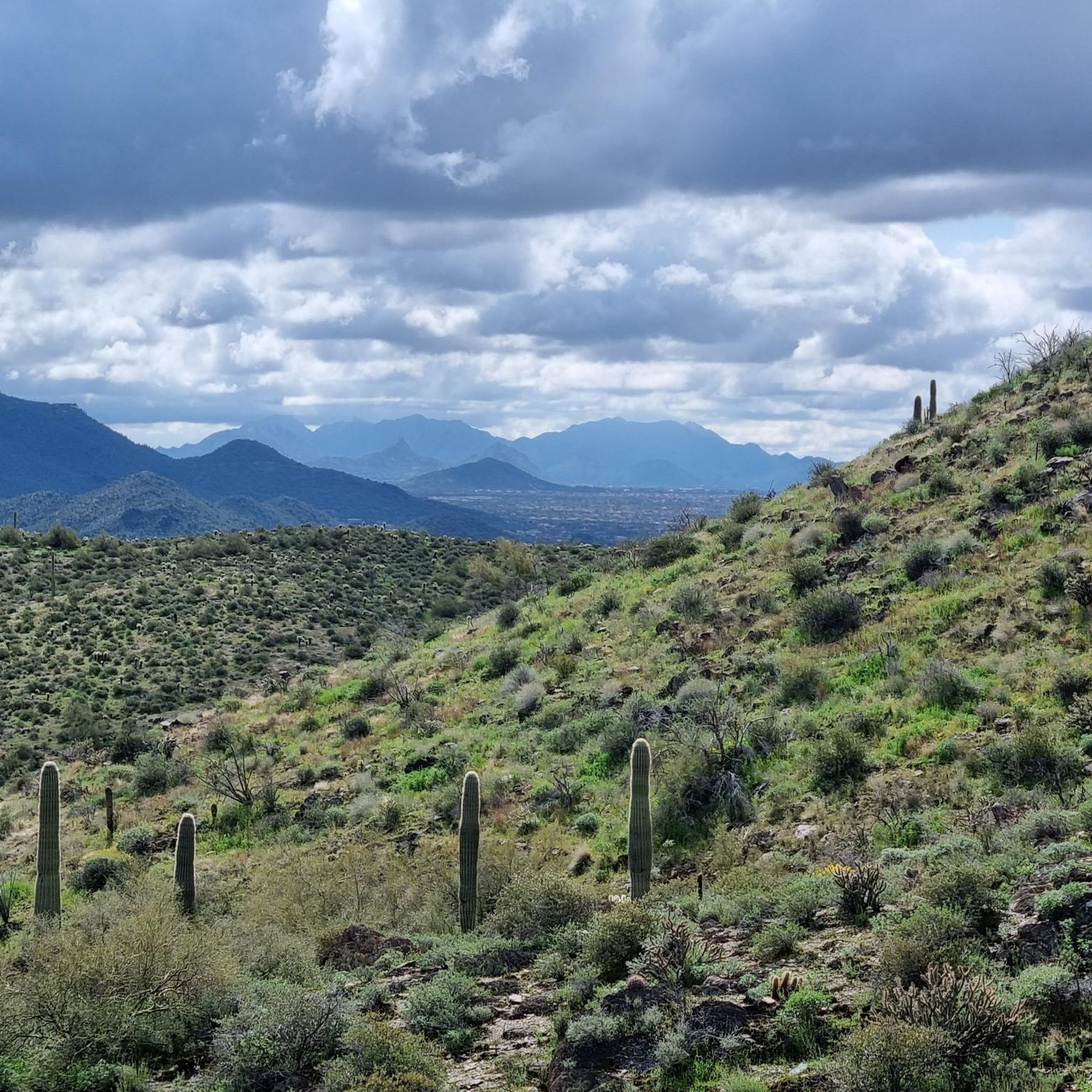
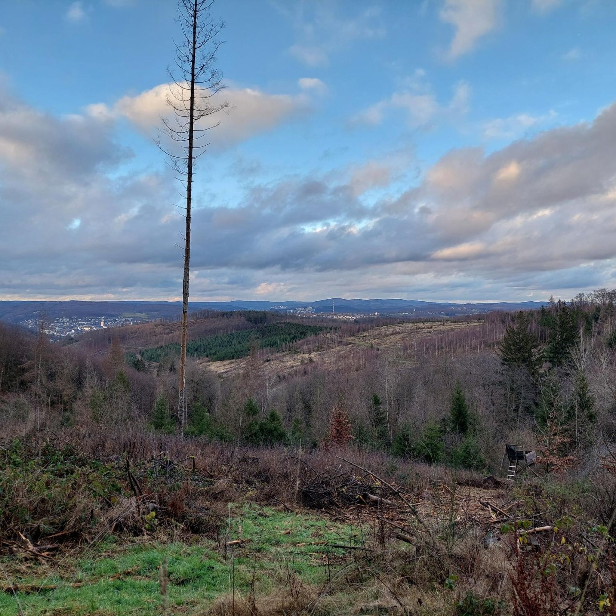

Tips from the Community

The Paseo Pathway runs about 6.5 miles in total. It's a wide, concrete pathway that links together several other trails, along with East Sonoran Desert Drive and East Dove Valley Road.
0
0

The Apache Wash Trailhead parking area has restrooms, water, and covered picnic areas. Also, if you're here for sunrise or sunset you'll be generously rewarded.
0
0
Frequently Asked Questions
What is the general difficulty level of road cycling routes in Anthem?
Road cycling routes in Anthem are predominantly easy, making them accessible for a wide range of cyclists. All five routes listed in this guide are rated as easy, offering gentle rides through the desert landscape.
What kind of terrain can I expect on road cycling routes in Anthem?
The terrain for road cycling in Anthem is primarily paved, offering smooth surfaces for a comfortable ride. Many routes, such as the Paseo Pathway (Paseo Trail) – Apache Wash Trailhead loop, traverse scenic desert landscapes with minimal elevation changes.
What natural features or viewpoints can I expect to see while cycling in Anthem?
While cycling in Anthem, you'll be immersed in stunning desert views, particularly within the Phoenix Sonoran Preserve. Notable viewpoints include Dixie Mountain, which offers panoramic vistas, and the Apache Wash Trail area, known for its expansive desert scenery and wildlife observation opportunities. The Ridgeback Overlook also provides excellent views.
Are there any specific landmarks or attractions along the road cycling routes?
Yes, several natural landmarks enhance the cycling experience. The Apache Wash Trail is a prominent feature, and the area around Dixie Mountain offers impressive views. You might also encounter the Go John Trail and Sidewinder Trail, which are popular for other outdoor activities and contribute to the scenic backdrop.
What are the typical elevation gains on road cycling routes in Anthem?
Road cycling routes in Anthem generally feature minimal to moderate elevation gains. For example, the Apache Wash Trailhead – Paseo Pathway (Paseo Trail) loop has an elevation gain of around 100 meters, while the Apache Wash Trailhead loop from Anthem involves approximately 209 meters of ascent over its 42 km distance.
Are there family-friendly road cycling routes in Anthem?
Absolutely. Anthem offers several family-friendly options, largely due to its predominantly paved and easy routes. The Apache Wash Trailhead loop from HonorHealth Sonoran Health and Emergency Center is a shorter, easy route perfect for families, and the wider Paseo Pathway is also very suitable for all ages.
Are there any challenging road cycling routes for advanced cyclists in Anthem?
While the routes highlighted in this guide are rated as easy, Anthem's broader area does offer options for more challenging rides. Some routes can include moderate to significant elevation gains, with climbs up to 1500 feet over longer durations on mostly paved surfaces, catering to advanced cyclists seeking a greater challenge.
What do other road cyclists enjoy the most about road cycling in Anthem?
The road cycling experience in Anthem is highly regarded by the komoot community, with an average score of 3.0 stars. Cyclists frequently praise the expansive desert views, the well-maintained paved surfaces, and the accessibility of routes within the Phoenix Sonoran Preserve.
Where can I find parking for road cycling routes in Anthem?
Many road cycling routes in Anthem, such as the Apache Wash Trailhead loop from Equestrian Trailer Parking, start from trailheads equipped with convenient parking. The Apache Wash Trailhead, for instance, offers restrooms, water, and covered picnic areas in addition to parking facilities.
What is the best time of year to go road cycling in Anthem?
The best time for road cycling in Anthem is typically during the cooler months, from fall through spring (October to April), when temperatures are more moderate. Summers can be very hot, making early morning or late evening rides preferable if cycling during that season.
Are there any loop road cycling routes in Anthem?
Yes, Anthem features several excellent loop road cycling routes. Examples include the Paseo Pathway (Paseo Trail) – Apache Wash Trailhead loop and the Apache Wash Trailhead – Paseo Pathway (Paseo Trail) loop, both offering circular journeys through the scenic desert.
Most popular routes around Anthem
Most popular attractions around Anthem

Get inspired with the komoot mobile app


Explore more
Browse the best Road cycling routes in other regions.
