The best road cycling routes in Deschutes National Forest
4.6
(25)
1,913
riders
36
rides
Road cycling routes in Deschutes National Forest traverse a diverse landscape shaped by ancient volcanic activity, offering varied terrain for cyclists. The region features the Cascade Mountains, dense ponderosa forests, and numerous lakes and rivers. Cyclists can experience significant elevation gains on routes ascending towards peaks or enjoy flatter sections through high desert and along scenic byways. This varied topography provides a range of road cycling experiences from moderate to challenging.
Best road cycling routes in Deschutes National Forest
- The…
Last updated: July 7, 2026
5.0
(1)
69
riders
123km
06:13
1,900m
1,900m
Embark on the McKenzie Pass Scenic Bikeway, a difficult 76.3-mile (122.8 km) racebike route that challenges you with 6244 feet (1903 metres) of elevation gain. This journey typically takes around…
4.5
(2)
61
riders
102km
04:29
960m
960m
Embark on a challenging road cycling adventure around Mt. Bachelor, a difficult 63.1 miles (101.6 km) loop that demands 3163 feet (964 metres) of climbing. This route, estimated to take…

Sign up for free
6
riders
140km
07:06
1,960m
1,960m
Cycle the challenging 87.2-mile McKenzie Pass-Santiam Pass Scenic Byway, gaining 6430 feet through diverse Oregon landscapes.
5
riders
90.6km
03:52
520m
520m
This 56.3-mile moderate road cycling loop near Sisters, Oregon, offers stunning Cascade Mountain views and diverse high desert scenery.
3
riders
128km
05:41
900m
900m
This difficult 79.5-mile road cycling loop from Sisters to Smith Rock offers diverse scenery and 2,942 feet of elevation gain.
Get access to more routes and recommendations from other explorers.
Sign up for free
Already have an account?
Our route recommendations are based on thousands of hikes, rides, and runs completed by other people on komoot.
Start today with a free account
Your next adventure awaits.
Login or Signup
Popular around Deschutes National Forest
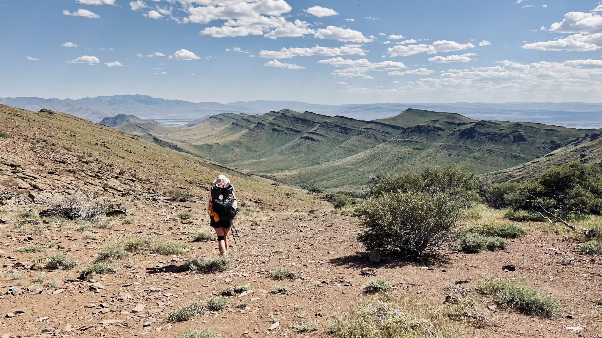
Oregon Desert Trail – Roughly the Right Direction

Pacific Crest Trail from Mexico to Canada – 4,200 kilometres of wilderness
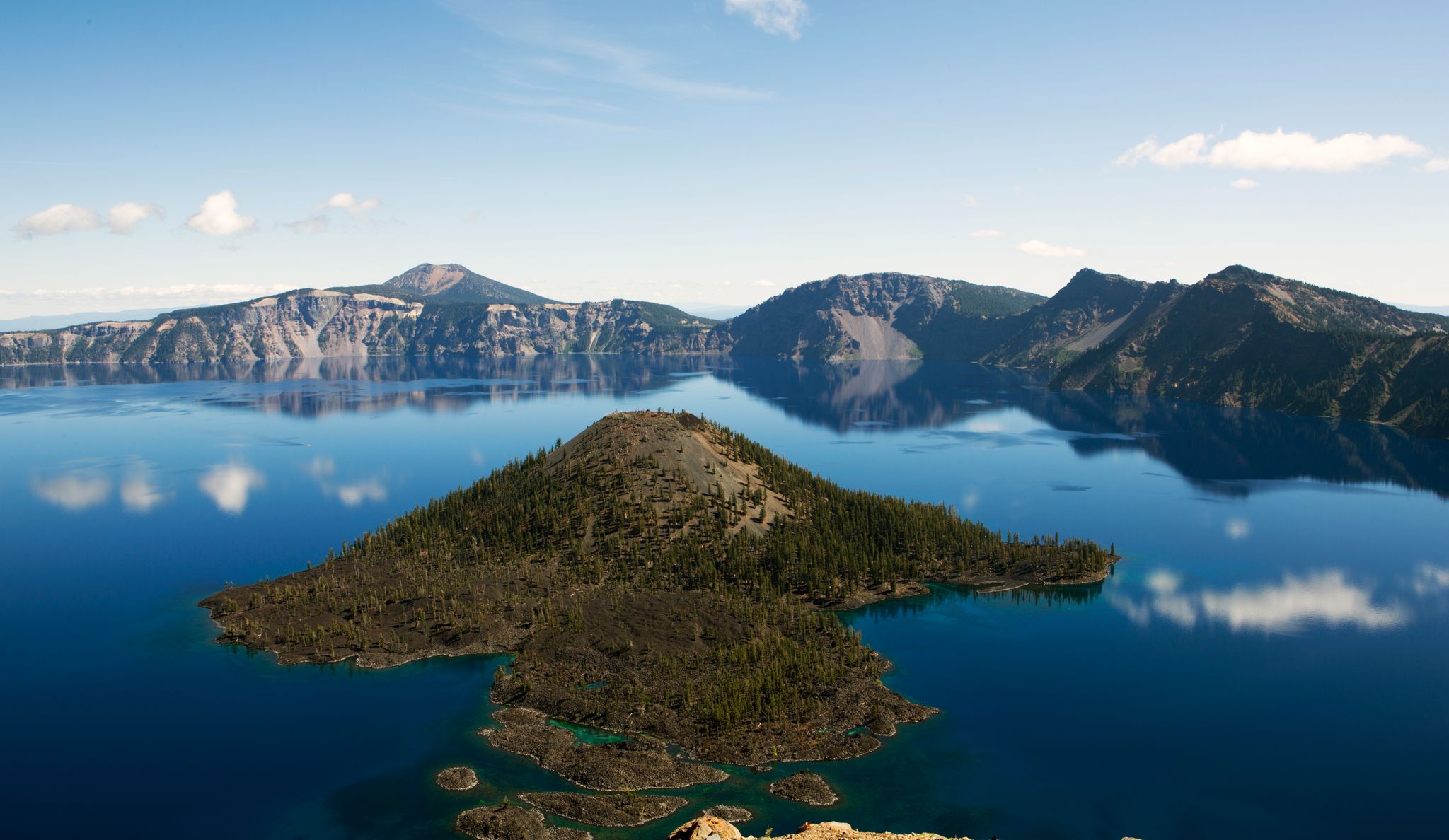
Volcanic peaks and glistening shores – discover Oregon and Washington
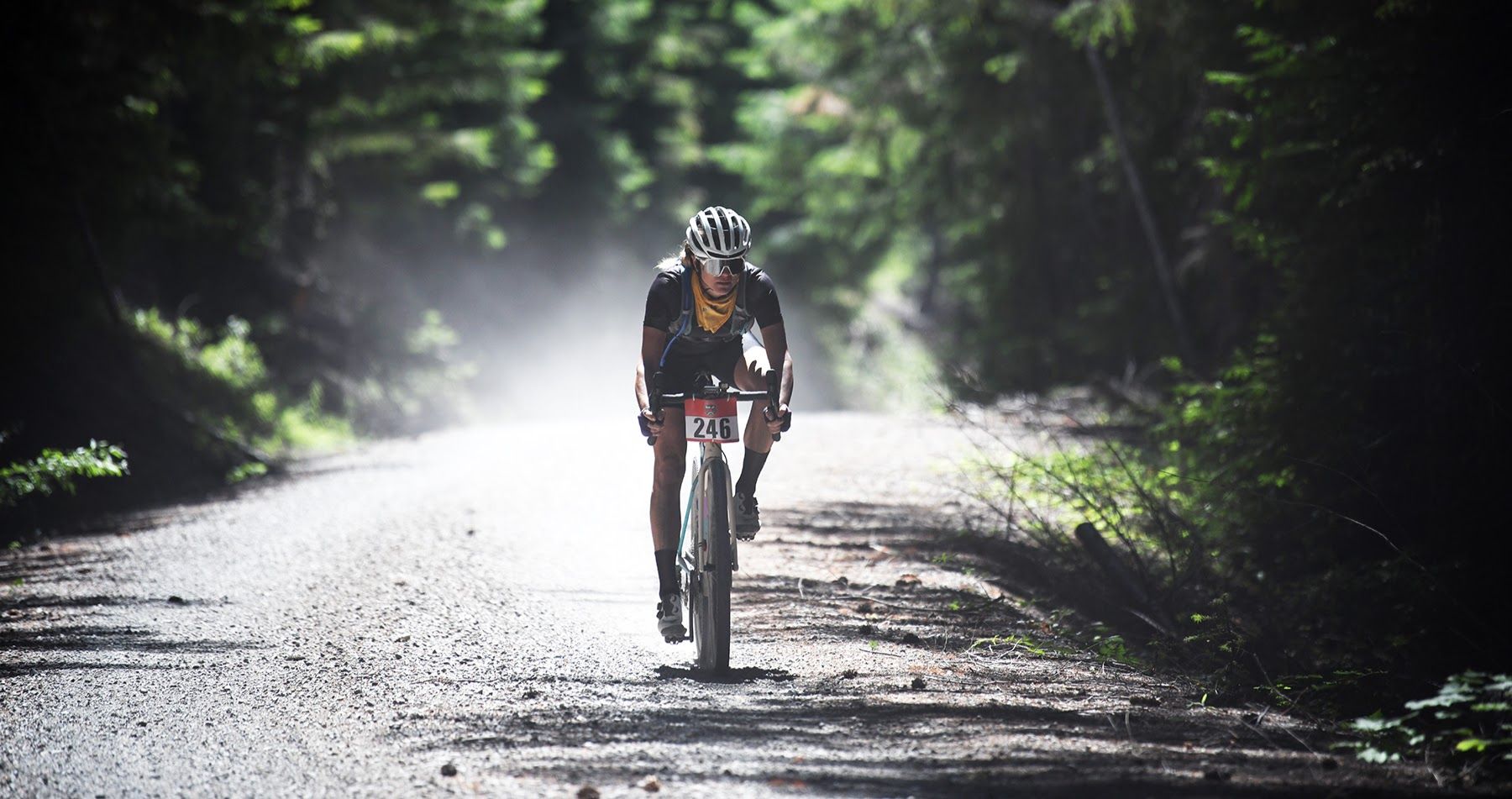
Oregon Trail Gravel Grinder — circling the Cascade Range
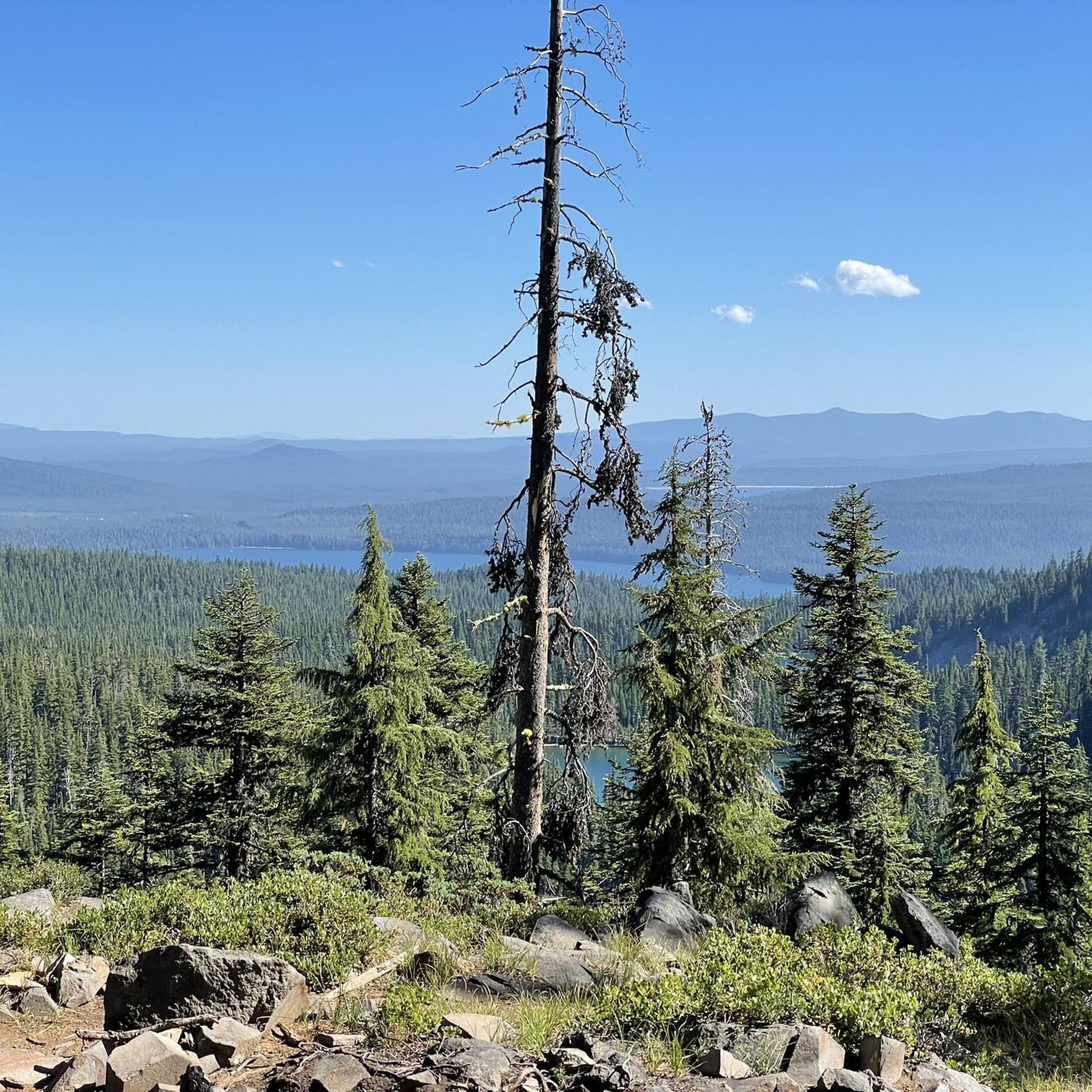
Hiking in Deschutes National Forest
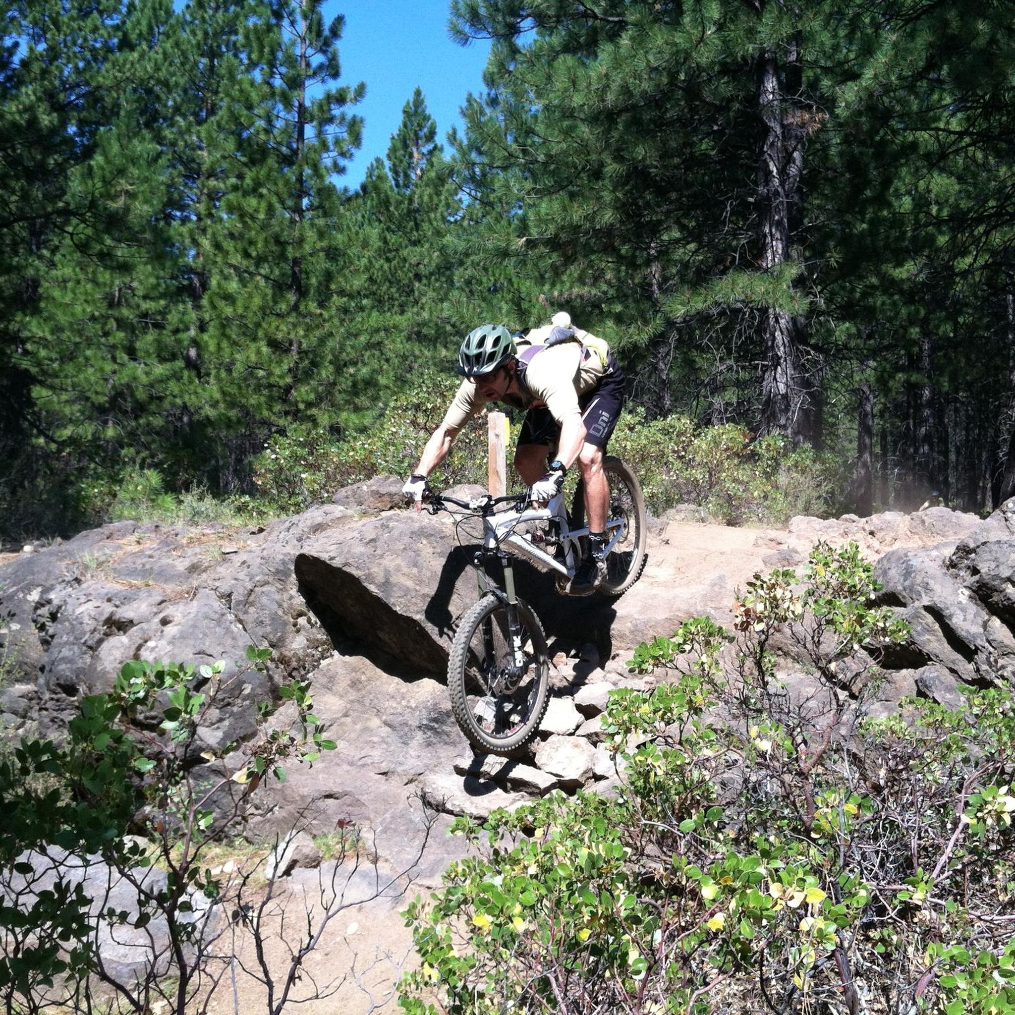
MTB Trails in Deschutes National Forest
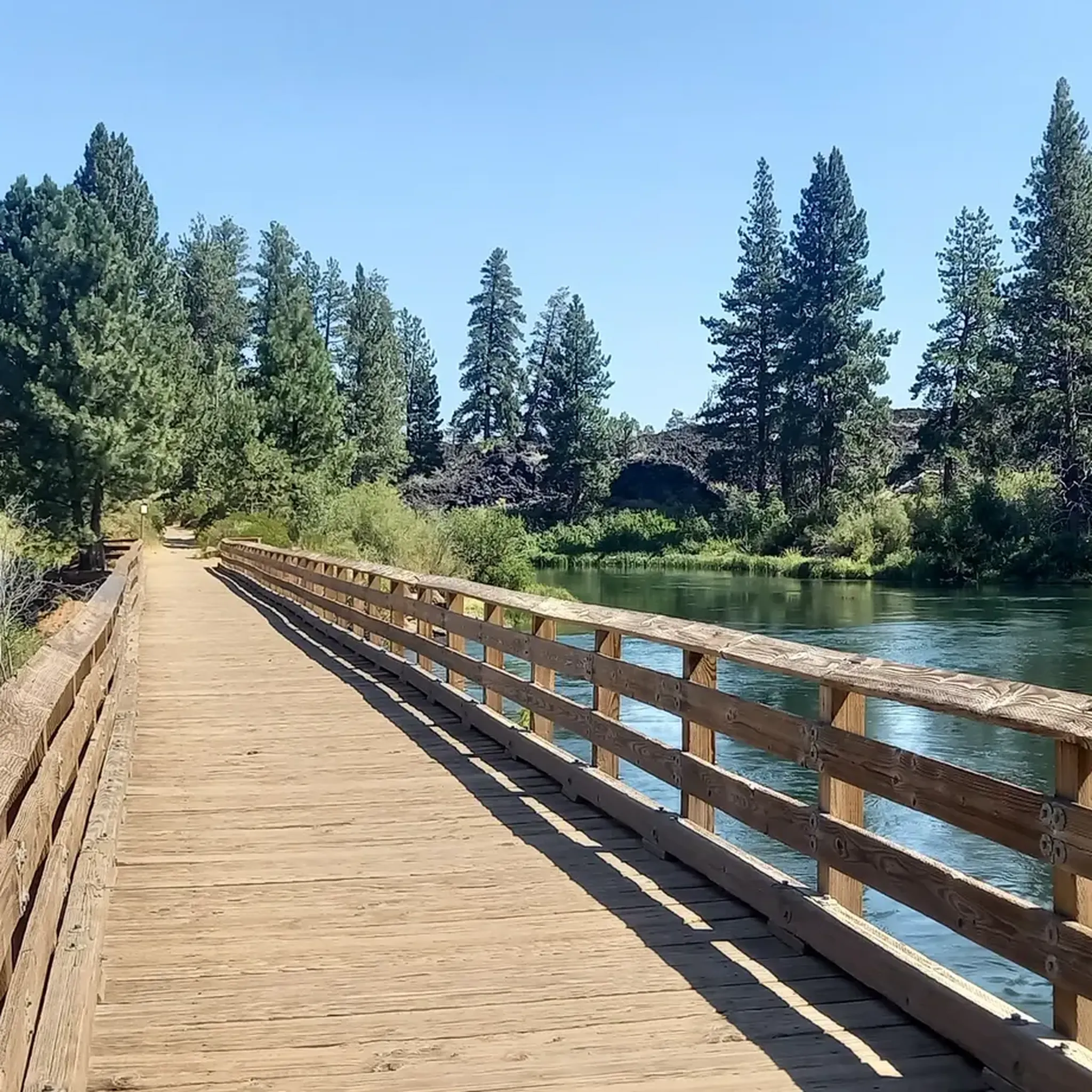
Cycling in Deschutes National Forest
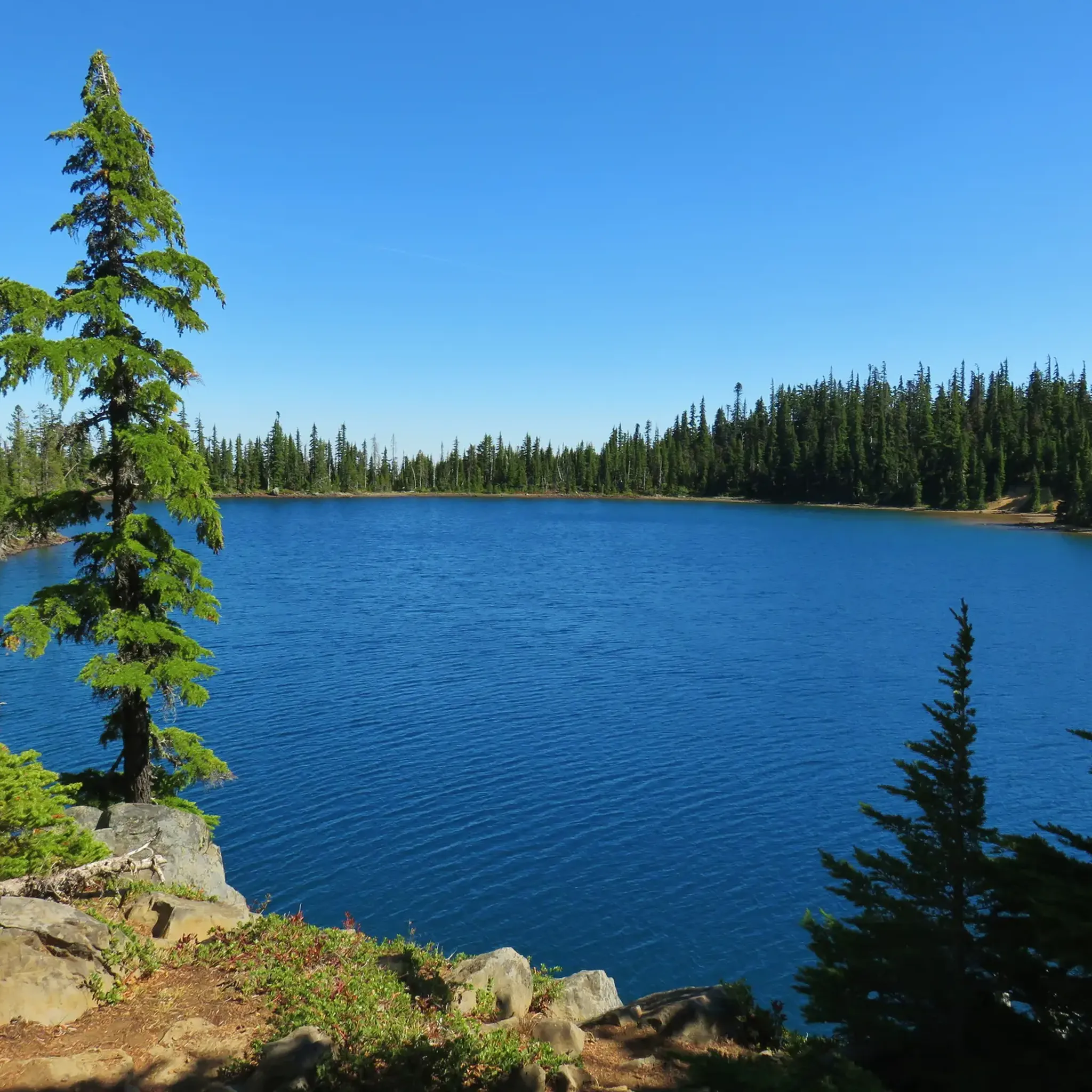
Running Trails in Deschutes National Forest
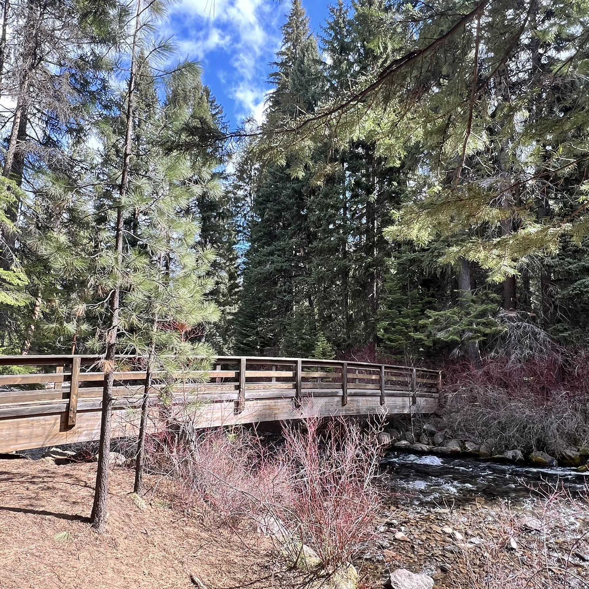
Gravel biking in Deschutes National Forest
Other adventures in Deschutes National Forest


Tips from the Community

Definitely worth the round trip to take the McKenzie Pass. There is a vault toilet here that is very well maintained. There are stairs but also an accessible gradual path to the lower part of the observatory. The extra lava tour path is also fully paved and accessible.
0
0

This lake is beautiful, surrounded by volcanic landscapes and beautiful forests. It has a distinctive shape from ancient lava flows, which created a natural dam along the eastern shoreline. It is a popular spot for many recreational activities, including several trails to explore surrounding the lake. It is a great place to cool off with a quick swim in the clear water on a warm day.
0
0

A popular park with miles of hiking, running and mountain biking trails both on trail and pavement. Tumalo Creek offers a place to cool off on a warm day.
0
0

Situated at McKenzie Pass, Dee Wright Observatory is built entirely of volcanic rock in the shape of a fortress. The lava fields surrounding the observatory span for 100 square miles, offering endless possibilities for other-worldly running scenery! On a clear day enjoy spectacular views of Three Sisters Wilderness, Mount Washington, Mount Jefferson and numerous volcanic craters.
1
0
Elk Lake is very picturesque, with Mt. Bachelor on the eastern horizon and the Three Sisters towering over the north end. There is a resort here that is a popular stop for cyclists and hikers to stop for refreshments and something to eat. If you arrive in the afternoon in the summer, there is a lakeside pizza bar where you can grab a slice and enjoy the scenery before continuing your trip.
0
0
This lovely park offers miles of multi-use paved and unpaved paths through old-growth forests and high desert sage-covered terrain. There are three developed picnic sites, restrooms, and river access with several footbridges crossing Tumalo Creek. It is an excellent place for a short run through ponderosa pines, with plenty of birds, chipmunks and interesting rock formations along the way.
0
0
This lovely park offers miles of multi-use paved and unpaved paths through old-growth forests and high desert sage-covered terrain. There are three developed picnic sites, restrooms, and river access with several footbridges crossing Tumalo Creek. It is an excellent place to stop if you are feeling unhurried and want to enjoy the scenery.
0
0

Twin Bridges Scenic Bikeway is a popular ride in Central Oregon for good reason. The bikeway gets its name from the two crossings it makes over the Deschutes River. You'll find yourself cycling through forests and high desert terrain all while marveling and the stunning views of the Cascade Mountains.
0
0
Frequently Asked Questions
How many road cycling routes are available in Deschutes National Forest?
Deschutes National Forest offers over 30 road cycling routes, catering to various skill levels. You'll find a diverse range of options, from easier rides through high desert terrain to challenging ascents in the mountains.
Are there road cycling routes suitable for beginners or families in Deschutes National Forest?
Yes, there are 14 easy road cycling routes in Deschutes National Forest. These often feature flatter sections through high desert and along scenic byways, making them suitable for less experienced riders or families looking for a more relaxed outing.
What are some challenging road cycling routes for experienced riders?
For experienced riders seeking a challenge, routes like the McKenzie Pass Scenic Bikeway offer significant climbs through lava fields and forests. Another demanding option is the Mt. Bachelor loop via Cascade Lakes Highway, which includes an ascent towards Mt. Bachelor with rewarding views.
What kind of scenery can I expect while road cycling in Deschutes National Forest?
Road cycling in Deschutes National Forest offers diverse scenery, including breathtaking views of the Cascade Mountains, dense ponderosa forests, and numerous subalpine lakes. You'll also encounter unique volcanic formations, high desert landscapes, and river crossings.
Are there any loop routes for road cycling in the area?
Yes, several excellent loop routes are available. The Sisters and Twin Bridges Scenic Bikeway Loop is a popular choice, taking you through rolling forests and high desert terrain. Another option is the Sisters to Smith Rock and Twin Bridges Loop, which offers dramatic views of the Crooked River and Smith Rock State Park.
What are some notable natural attractions or landmarks to see along the routes?
Many routes pass by stunning natural features. You might encounter volcanic formations like Lava Butte, scenic lakes such as Paulina Lake, or even majestic peaks like Paulina Peak. The Cascade Lakes Scenic Byway itself offers views of numerous subalpine lakes.
Are there any waterfalls accessible or visible from road cycling routes?
While not directly on all road cycling routes, the Deschutes National Forest region is home to scenic waterfalls like Paulina Falls and Tumalo Falls. Some routes may offer views or access points to these natural wonders, adding to the area's beauty.
What is the best time of year for road cycling in Deschutes National Forest?
The best time for road cycling is generally from late spring through early fall (May to October), when the weather is mild and roads are clear of snow. Some higher elevation routes, like those on the Cascade Lakes Scenic Byway, may open later in the season due to snowpack.
What do other road cyclists enjoy most about road cycling in Deschutes National Forest?
The area is highly rated by the komoot community, with an average score of 4.6 stars. Cyclists often praise the diverse terrain, from challenging mountain climbs to scenic byways, and the breathtaking views of the Cascade Mountains, lakes, and unique volcanic landscapes.
Where can I find more information about the Deschutes National Forest for planning my trip?
For additional information on the Deschutes National Forest, including details on other activities and general visitor information, you can visit the official tourism site for the region at visitbend.com.
Are there any specific permits or fees required for road cycling in the forest?
Generally, no specific permits are required for road cycling on public roads within Deschutes National Forest. However, some areas, particularly those with developed recreation sites or trailheads, may require a day-use fee or a recreation pass. Always check local signage or the U.S. Forest Service website for the most current information before you go.
Most popular routes in Deschutes National Forest
Most popular attractions in Deschutes National Forest

Get inspired with the komoot mobile app


Explore more
Browse the best Road cycling routes in other regions.
