The best road cycling routes around Boerenkreek
4.4
(85)
5,498
riders
243
rides
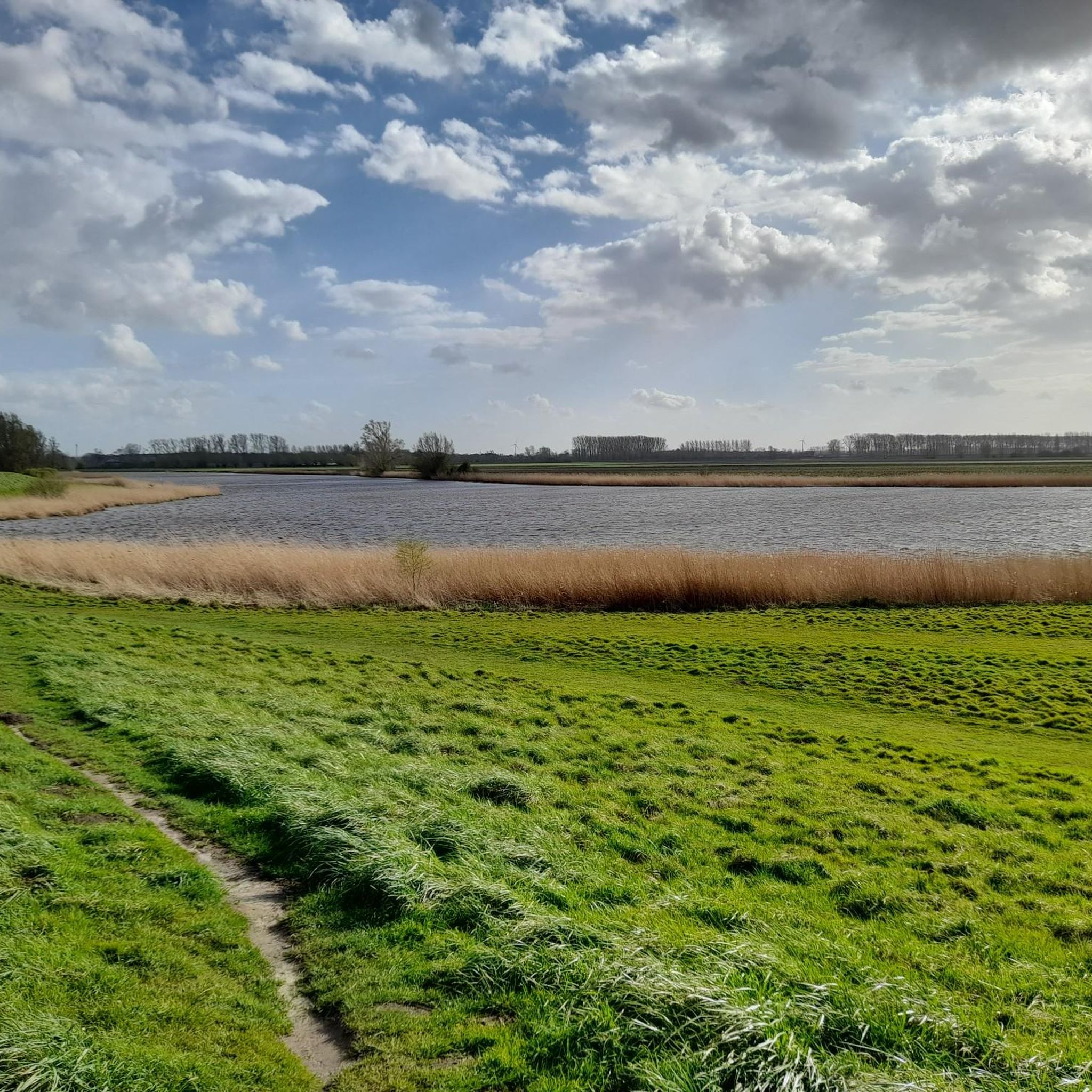
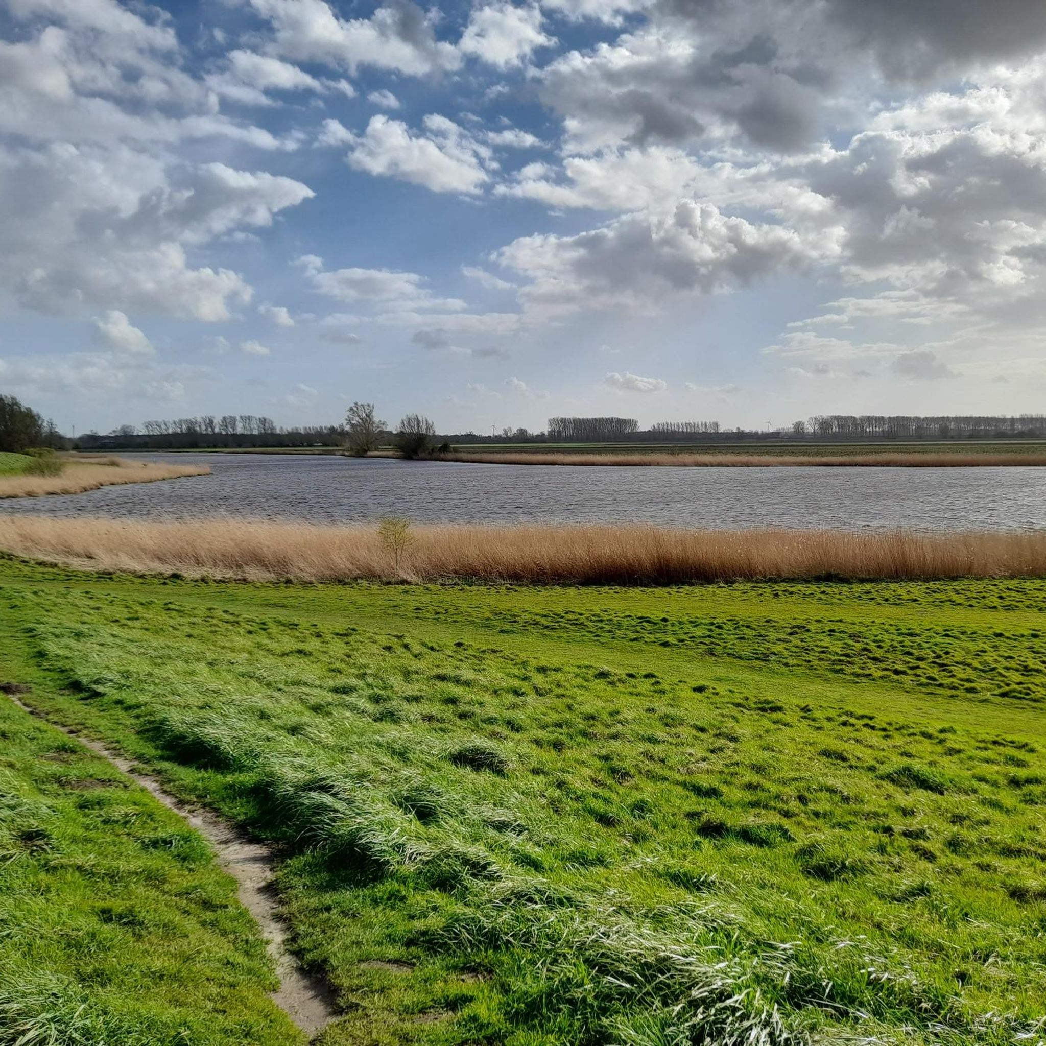
Road cycling around Boerenkreek features a predominantly flat landscape characterized by polders and the open countryside of Zeelandic Flanders. The region is part of the "Krekengebied," a unique network of water bodies formed by past dike breaches, offering scenic views. This terrain provides extensive cycling paths suitable for various fitness levels, with many routes being well-paved. The area's low elevation and open vistas make it ideal for road cycling.
Best road cycling routes around Boerenkreek
- The most popular road cycling route is Groot Eiland – Luntershoek – Mussel Monument Philippine loop from Bentille, a 51.7 miles (83.1 km) trail that takes 3 hours 36 minutes to complete. This route traverses the expansive polder landscape, offering open views.
- Another top favourite among local road cyclists is Mevrouwmolen Kanegem – Briek Schotte Memorial loop from Bentille, a moderate 64.5 miles (103.7 km) path. This route guides cyclists through the flat, open countryside of the region.
- Local road cyclists also love the Kopecky Mural – Veldenbos loop from Bentille, a 32.9 miles (53.0 km) trail leading through the distinctive creek landscape, often completed in about 2 hours 58 minutes.
- Road cycling around Boerenkreek is defined by flat polders, the unique creek landscape, and open countryside. The network offers options for easy, moderate, and difficult routes, catering to different ability levels.
- The routes in Boerenkreek are highly rated by the komoot community with an average score of 4.4 stars from over 70 reviews. More than 5,600 road cyclists have used komoot to explore Boerenkreek's varied terrain.
Last updated: July 12, 2026
3
riders
49.5km
02:12
60m
60m
Moderate road ride. Good fitness required. Some segments of this route may be unpaved and difficult to ride.
4
riders
Moderate road ride. Good fitness required. Mostly well-paved surfaces and easy to ride.

Sign up for free
4
riders
Easy road ride. Great for any fitness level. Mostly well-paved surfaces and easy to ride.
11
riders
Easy road ride. Great for any fitness level. Mostly well-paved surfaces and easy to ride.
9
riders
Moderate road ride. Good fitness required. Some segments of this route may be unpaved and difficult to ride.
Get access to more routes and recommendations from other explorers.
Sign up for free
Already have an account?
Our route recommendations are based on thousands of hikes, rides, and runs completed by other people on komoot.
Start today with a free account
Your next adventure awaits.
Login or Signup
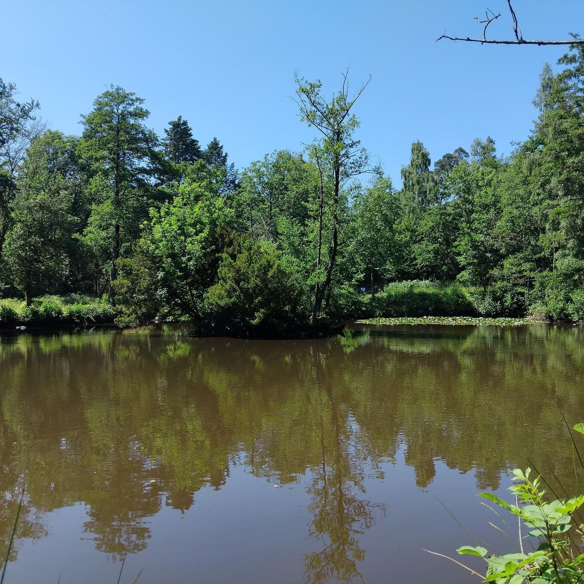
Tips from the Community

It always makes sense to point out past mistakes and thus possibly avoid them in the future...
0
0

Border marker 326 is a cast-iron border marker dating from 1843 that marks the border between Belgium and the Netherlands at Mollekot, just across the border from IJzendijke in the Netherlands. The marker is located along the Vrijedijk and is a well-known landmark for cyclists and hikers exploring the historic border region. (Google)
7
0
Vrouwkenshoekkreek is a creek in the Meetjesland creek area, north of the East Flemish town of Sint-Laureins. The creek is part of a larger creek system that also includes Blokkreek. Although it was a valuable creek, it was filled in the 1950s with sediment from the dredging of the nearby Leopold Canal. This resulted in the disappearance of the unique habitat, leaving only grassland where the creek once lay. In the 1990s, the site was purchased by Natuurpunt, and restoration work began in 2009, including the reestablishment of the connection with Blokkreek, located on Dutch territory (south of Sint Kruis), which had also undergone restoration. The restoration work was completed in 2012. In addition to its function as a nature reserve, the system can also be used for water storage. (Wikipedia)
7
0
The Celie Bridge was destroyed twice, and rebuilt twice. This iron drawbridge, typical of the Schipdonk Canal, rarely rises. Shipping is not possible here, unlike in the past, when there was a loading dock on the Lieve River. (Mijnplatteland.com)
7
0

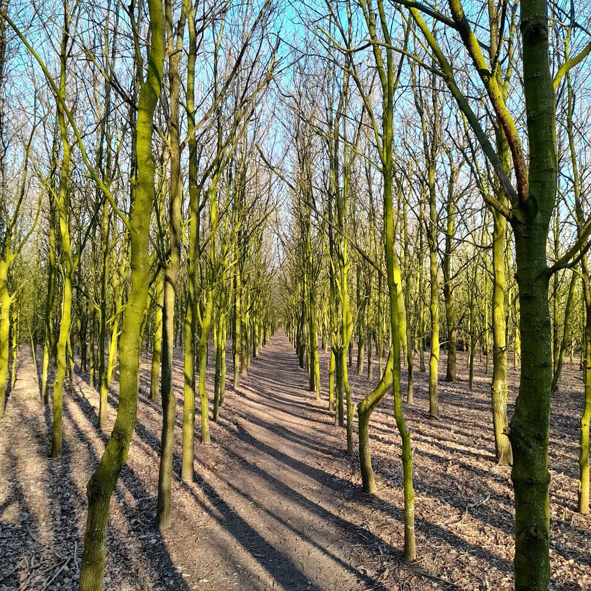
The tree line is beautiful with miles of trees forming an archway. One of the most pleasant rides I have ever done.
0
0


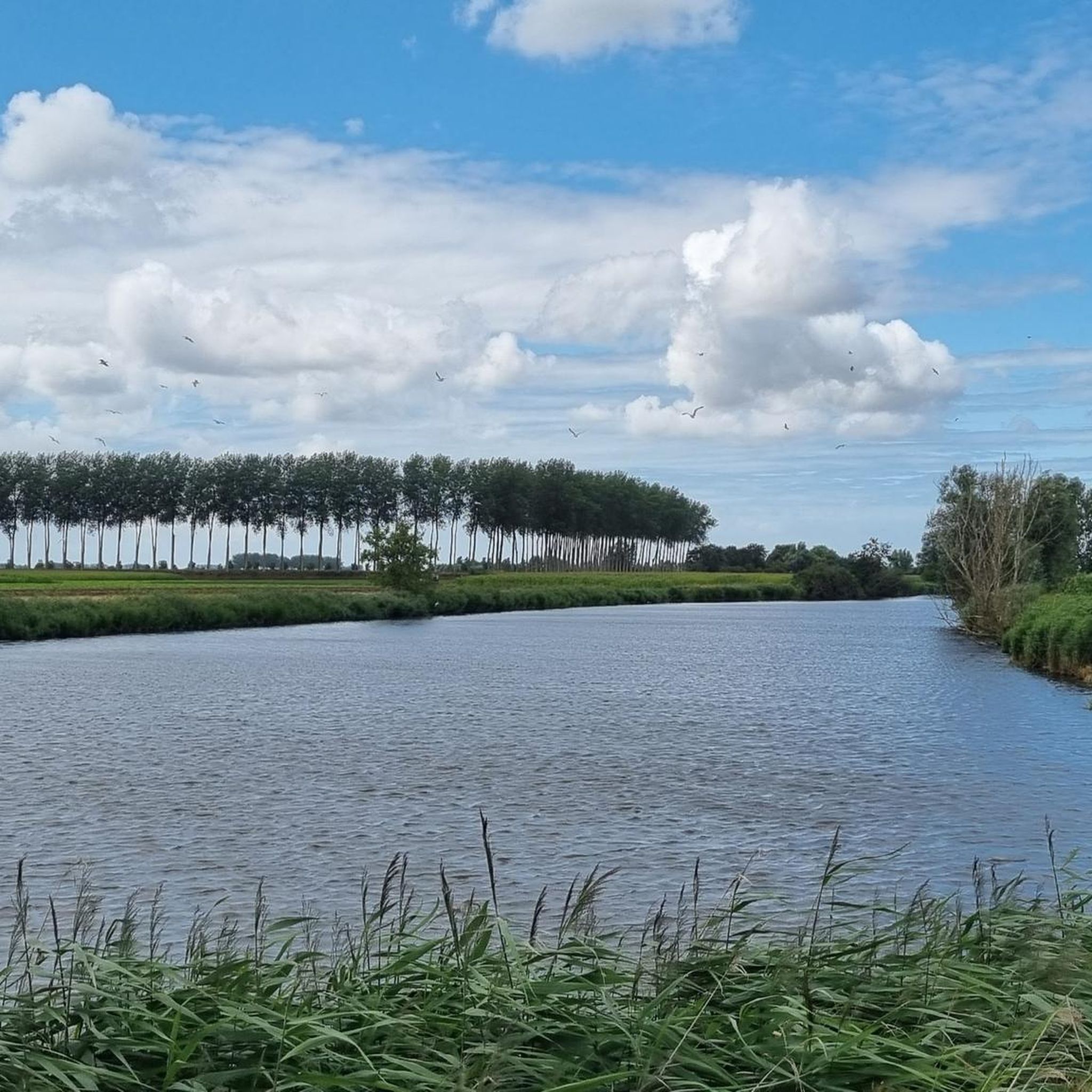
The Schipdonk Canal meanders for 56 kilometers from Deinze to Heist, where it flows into the North Sea. The canal serves as both an economic and a natural connection, forming the dividing line between the Meetjesland region, the Leie region, and the sea. The canal's construction in the nineteenth century was one of the first major infrastructure projects in the young Belgium. The canal played a strategic role during both the First and Second World Wars, serving as a key component of the military defenses. Today, it's especially enjoyable (and sometimes challenging) cycling!
1
0

Frequently Asked Questions
How many road cycling routes are available around Boerenkreek?
There are over 200 road cycling routes available around Boerenkreek, catering to various skill levels. The komoot community has explored more than 5,600 road cycling tours in the area.
What is the terrain like for road cycling in Boerenkreek?
The terrain around Boerenkreek is predominantly flat, characterized by expansive polders and the open countryside of Zeelandic Flanders. This makes it ideal for road cycling, with many well-paved paths and minimal elevation changes.
Are there any easy road cycling routes for beginners in Boerenkreek?
Yes, Boerenkreek offers a good selection of routes suitable for beginners. Out of the over 200 available routes, 72 are classified as easy, providing gentle rides through the flat landscape.
Can I find routes with significant elevation changes around Boerenkreek?
Road cycling in Boerenkreek is known for its flat profile, with routes typically featuring very little elevation gain. For example, the Groot Eiland – Luntershoek – Mussel Monument Philippine loop from Bentille, a route over 83 km, has only about 100 meters of elevation gain, making it perfect for those who prefer flat rides.
What kind of scenic views can I expect on road cycling routes in Boerenkreek?
Cyclists can enjoy expansive views of the polders and the unique 'creek landscape' – a network of water bodies formed by past dike breaches. The area is part of the picturesque 'Krekengebied,' offering tranquil natural environments and open vistas.
Are there any specific landmarks or attractions to see along the road cycling routes?
Yes, while cycling, you can encounter natural features like the Oostpolder Creek and Mesurekreek, which are part of the distinctive creek landscape. The Towpath Leopoldskanaal also offers a scenic path.
Are there circular road cycling routes available in Boerenkreek?
Many of the road cycling routes in Boerenkreek are designed as loops, allowing you to start and end at the same point. Examples include the Mevrouwmolen Kanegem – Briek Schotte Memorial loop from Bentille and the Kopecky Mural – Veldenbos loop from Bentille.
What is the best season for road cycling in Boerenkreek?
The flat and open landscape of Boerenkreek is generally pleasant for road cycling from spring through autumn. The mild weather during these seasons makes for comfortable rides, allowing you to fully appreciate the polder and creek scenery.
Is Boerenkreek suitable for family-friendly road cycling?
Absolutely. The largely flat and well-paved cycling paths in Boerenkreek make it an excellent destination for family-friendly road cycling. The absence of significant climbs ensures a relaxed experience for all ages and fitness levels.
What do other cyclists say about road cycling in Boerenkreek?
The road cycling routes in Boerenkreek are highly rated by the komoot community, with an average score of 4.4 stars from over 70 reviews. Cyclists often praise the quiet, scenic polder landscapes and the well-maintained paths.
Are there options for bike rental in the Boerenkreek area?
Yes, for those who don't bring their own bicycles, Boerenkreek offers bike rental facilities. You can find various sizes of bikes, including tandems, to explore the region.
How long are the road cycling routes typically in Boerenkreek?
The road cycling routes in Boerenkreek vary in length to suit different preferences. You can find shorter loops, such as the Boundary marker 318 – Mussel Monument Philippine loop from Bentille at around 31 km, to longer tours exceeding 100 km like the View of the Countryside – Kraenepoel Lake loop from Sint-Margriete.
Where can I find parking for road cycling in Boerenkreek?
Parking facilities are generally available in and around the main activity centers in Boerenkreek and nearby towns like Sint-Laureins. Look for designated parking areas near popular starting points for cycling routes.
Most popular routes around Boerenkreek
Most popular attractions around Boerenkreek

Get inspired with the komoot mobile app


Explore more
Browse the best Road cycling routes in other regions.
