The best cycling routes in Ashe County
5.0
(11)
99
riders
15
rides
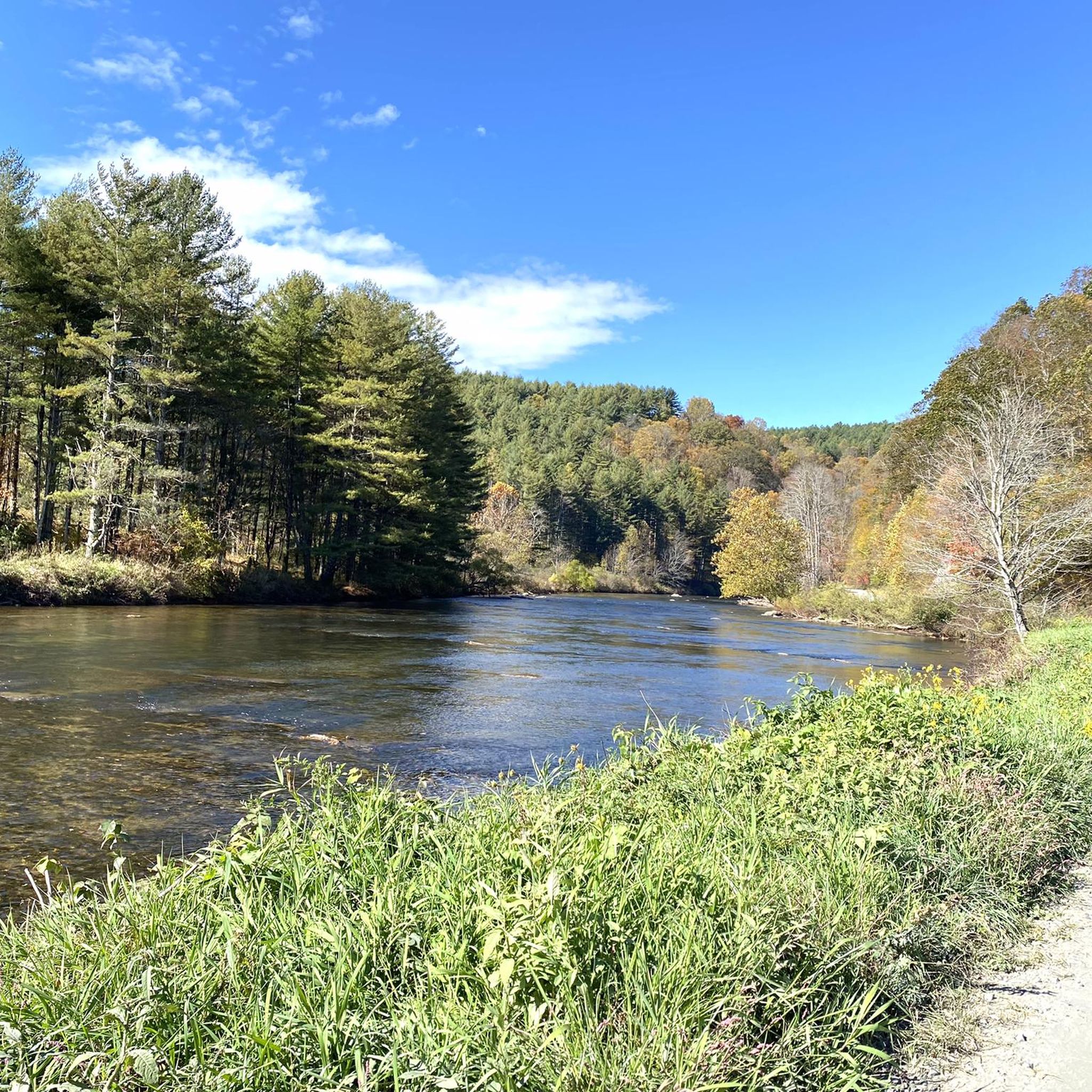
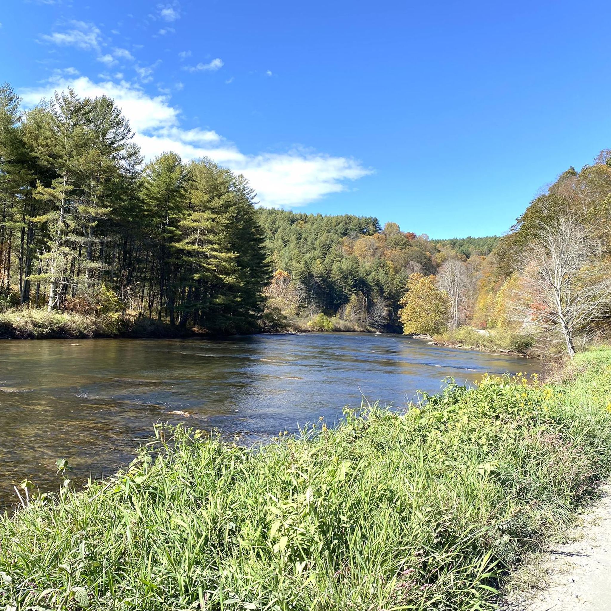
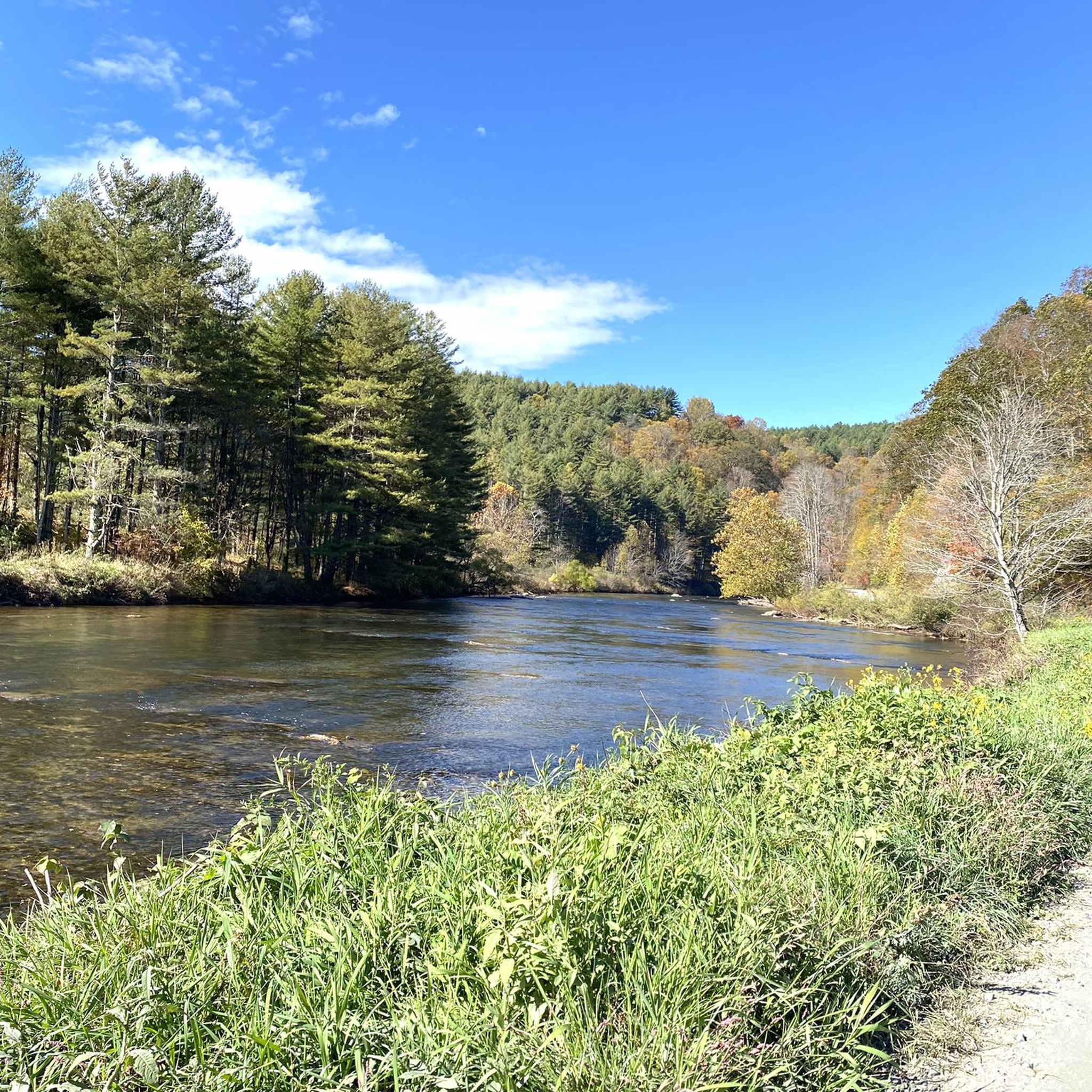
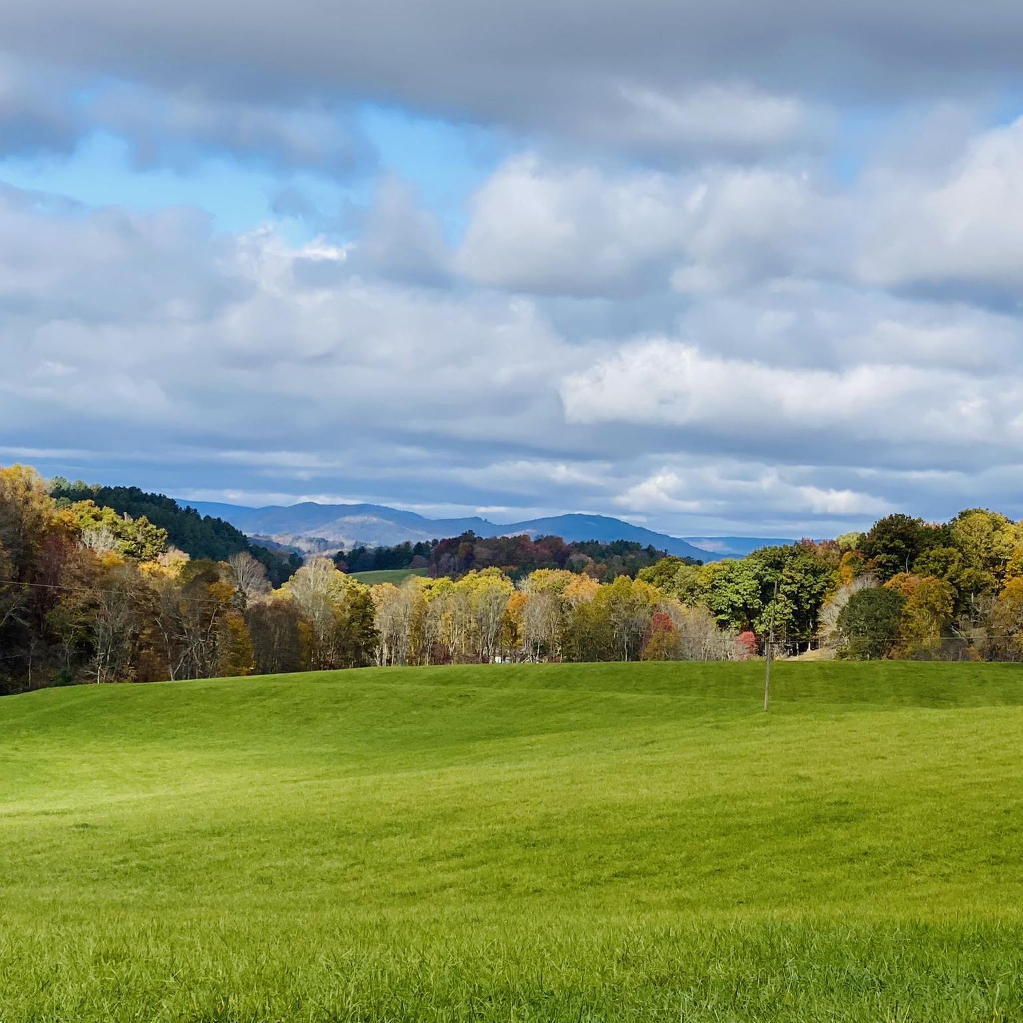
Touring cycling in Ashe County offers diverse landscapes within the Blue Ridge Mountains of North Carolina. The region features varying elevations, from winding scenic roadways along the Blue Ridge Parkway to more gentle paths following the New River. Cyclists can experience challenging mountain climbs and rewarding descents, alongside routes through forested areas and open country. This varied terrain provides a range of experiences for different cycling preferences.
Best touring cycling routes in Ashe County
- The most popular touring cycling route is Virginia Creeper Trail Loop, a 33.1 miles (53.3 km) trail that takes 4 hours 45 minutes to complete. This route features significant elevation changes and diverse scenery.
- Another top favourite among local touring cyclists is Mount Jefferson View loop, a difficult 11.0 miles (17.7 km) path. This route includes a challenging climb towards Mount Jefferson, offering expansive views.
- Local touring cyclists also love the Red Dog Bar & Bistro to Stuart Dam, a 5.2 miles (8.4 km) trail leading through river valleys, often completed in about 30 minutes.
- Touring cycling in Ashe County is defined by Blue Ridge Mountain vistas, sections of the Blue Ridge Parkway, and routes along the New River. The network offers options for different ability levels, from easy riverside paths to challenging mountain ascents.
- The routes in Ashe County are highly rated by the komoot community with an average score of 5.0 stars from over 7 reviews. More than 100 touring cyclists have used komoot to explore Ashe County's varied terrain.
Last updated: October 10, 2026
5.0
(7)
76
riders
53.3km
04:45
850m
850m
The Virginia Creeper Trail Loop offers a truly immersive touring cycling experience through the heart of Appalachia, winding past dense forests, expansive farmlands, and picturesque Christmas tree farms. You'll frequently ride alongside the soothing sounds of Whitetop Laurel Creek and the South Fork of the Holston River, crossing nearly 50 historic wooden trestles that provide elevated views of the surrounding landscape. The trail's surface, a mix of crushed limestone, cinders, dirt, and fine gravel, can be challenging, especially after rain, so come prepared for varied conditions.
This difficult 33.1-mile (53.3 km) loop, with its substantial 2796 feet (852 metres) of elevation gain, is a significant undertaking that typically takes around 4 hours and 45 minutes. Parking is readily available in towns like Damascus, which also offers amenities and bike rentals. While the trail is multi-use, this specific loop is best for experienced cyclists with good fitness, and it's wise to carry plenty of water and start early to enjoy the ride without rushing.
Originally a historic railway bed, the Virginia Creeper Trail earned its name from the slow speed trains once traveled up the mountain grades, making it a unique historical point of interest. It passes through the Mount Rogers National Recreation Area, showcasing the region's rich natural environment and offering scenic viewpoints. For those looking for a less strenuous ride, shuttle services are available to access the popular downhill sections, but this loop provides a full, challenging exploration of the trail's diverse character.
1
riders
10.5km
00:52
240m
240m
The Horse Trail East and Stamper's Branch Loop offers a captivating touring cycling experience through the high-altitude beauty of Grayson Highlands State Park. You'll wind through diverse terrain, from open areas with panoramic views of alpine-like peaks to serene wooded sections, with the added thrill of potentially spotting the park's iconic wild ponies. The Stamper's Branch Trail portion of the route even brings you near Little Pinnacle, providing scenic overlooks of Wilburn Branch and the surrounding wilderness.
This moderate 6.5-mile (10.5 km) loop involves 771 feet (235 metres) of elevation gain and typically takes around 51 minutes to complete, making it a great option for intermediate cyclists. As a multi-use trail system within Grayson Highlands State Park, you'll be sharing the path with hikers and horseback riders, so always be mindful of others. Parking and facilities are available within the park, so plan your visit accordingly.
Beyond its immediate charms, this route is part of a larger network that connects to the famed Appalachian Trail and the Virginia Highlands Horse Trail, offering extensive exploration opportunities. The park's focus on equestrian amenities, such as horse camping areas, also benefits touring cyclists looking for robust infrastructure. You can even access additional horse trails in the Jefferson National Forest for longer rides, making this a strategic starting point for adventure.

50.1km
03:23
850m
850m
Take on the Jumpinoff Rock to Basin Cove Overlook, a difficult touring cycling route that offers a true Blue Ridge Parkway experience. This challenging ride covers 31.1 miles (50.1 km) and climbs 2794 feet (852 metres), typically taking you about 3 hours and 22 minutes to complete. You will cycle through dense forests and discover panoramic views, with the secluded east-facing vistas from Jumpinoff Rock Overlook being a highlight.
Planning your visit requires some preparation, as amenities along this section of the Blue Ridge Parkway can be spread out and seasonal; you should be self-sufficient. Parking is available at both Jumpinoff Rock Overlook (Milepost 260.3) and Basin Cove Overlook (Milepost 244.7). The paved road features significant climbs and descents, with grades often ranging from 6% to 8%, so be ready for a workout.
This route immerses you in the natural beauty of the Appalachian Mountains. You can enjoy the vibrant colors of rhododendrons and mountain laurels blooming in late May and early June, or plan your ride for the fall to witness spectacular foliage. The trail offers a deep connection to the region's natural environment, making it a notable cycling adventure.
13.6km
01:01
340m
340m
Embark on a moderate touring bicycle ride along the Blue Ridge Parkway, stretching 8.5 miles (13.6 km) from The Lump Overlook to Jumpinoff Rocks Overlook. You will gain 1123 feet (342 metres) in elevation, with an estimated duration of 1 hour and 1 minute. This route offers a pleasant experience, winding through forested areas that occasionally open up to reveal expansive ridge-line views of the Appalachian Mountains.
To plan your visit, you can find convenient parking at both The Lump Overlook (Milepost 264.4) and Jumpinoff Rocks Overlook (Milepost 260.3), making it easy to start your ride. The road surfaces on the Blue Ridge Parkway are generally well-maintained, and commercial vehicles are not permitted, which helps ensure a smoother cycling experience. Always be prepared for changing weather conditions in the mountains, and consider carrying lights, as tunnels are common on the Parkway.
This section of the Parkway is known for its classic Appalachian Mountain scenery. From The Lump Overlook, you can enjoy views of Doughton Park, Stone Mountain, and the Sauratown Mountains to the north. Further along, Jumpinoff Rocks Overlook provides excellent long-range, unobstructed views of the surrounding mountains, perfect for a scenic break during your ride.
32.8km
02:38
790m
790m
Embark on a challenging touring bicycle adventure with the Elk Mountain Overlook to Lewis Fork Overlook loop. This difficult route spans 20.4 miles (32.8 km) along the iconic Blue Ridge Parkway, presenting you with frequent, sustained climbs and descents. You will gain a significant 2593 feet (790 metres) in elevation, offering expansive views into the Yadkin Valley from the Elk Mountain Overlook. Expect to be immersed in the natural beauty of the Blue Ridge Mountains, passing through dense forests and alongside rushing creeks.
Plan for a ride lasting approximately 2 hours and 37 minutes, but be prepared for significant elevation changes and unpredictable weather, including fog and rain, especially at higher elevations. The Blue Ridge Parkway does not have designated bike lanes, so always ride single file and wear high-visibility clothing for your safety. Before you head out, check for current conditions and potential closures due to weather or maintenance, as services along the route can be sparse.
This loop offers a rewarding experience for touring cyclists seeking a demanding ride through a picturesque landscape. The Parkway's design ensures a constant engagement with the terrain, making it a notable segment for those who appreciate a physical challenge amidst stunning natural surroundings. It is an excellent way to experience the unique character of the Blue Ridge Mountains, known for their ancient geology and diverse ecosystems.
12.2km
00:57
330m
330m
Embark on a moderate touring cycling adventure from Carroll Gap Overlook to Elk Mountain Overlook, a route that spans 7.6 miles (12.2 km) with an elevation gain of 1087 feet (331 metres). You can expect to complete this ride in about 56 minutes. As you cycle, you will experience the winding roads of the Blue Ridge Parkway, passing through dense forests and alongside farmlands. The journey offers rewarding climbs and exhilarating descents, with pastoral scenes from Carroll Gap and expansive views into the Yadkin Valley from Elk Mountain Overlook.
For your safety and enjoyment, ensure you have a good fitness level before tackling this route. Always wear a bicycle helmet and high-visibility clothing, and carry plenty of water and high-energy foods, as services are sparse along the Parkway. Be prepared for rapid weather changes, including fog and rain, especially at higher elevations. Planning ahead for these conditions will help you have a smooth ride.
This segment of the Blue Ridge Parkway provides a classic touring cycling experience, deeply engaging you with the Appalachian Highlands. The route is notable for its continuous scenic beauty and the distinct views offered at both overlooks. It highlights the natural environment of the region, showcasing a blend of forested areas and open farmlands that characterize this iconic American roadway.
13.9km
01:05
230m
230m
The Whitetop to Virginia Creeper Trail and TransVirginia Bike Route loop, when fully open, promises a varied touring bicycle experience, blending the gentle grades of a rail-trail with the ruggedness of a bikepacking route. You'll traverse picturesque landscapes, from the lush mountain forests and rolling farmlands of the Virginia Creeper Trail, crossing its 47 iconic trestle bridges, to the remote mountain areas and challenging gravel roads of the TransVirginia sections. This moderate route covers 8.6 miles (13.9 km) with 765 feet (233 metres) of elevation gain, typically taking about 1 hour and 4 minutes, offering a unique contrast in terrain and scenery.
It's crucial to note that the Virginia Creeper Trail section from Damascus to Whitetop Station is currently closed due to hurricane damage, with an estimated reopening in late 2026 or early 2027. This means the full loop is not presently possible. For the open sections of the Virginia Creeper Trail, shuttle services are available from nearby towns, and the trail is generally easy and family-friendly. However, the TransVirginia portions demand good fitness and preparation for unpaved, challenging climbs, so always check current conditions.
The Virginia Creeper Trail is celebrated as one of the best "rails-to-trails" in the eastern United States, offering a unique blend of natural beauty and railroad history. In contrast, the TransVirginia Bike Route caters to self-supported bikepacking, designed for multi-day trips through remote mountain areas and aiming to be an iconic East Coast gravel bikepacking adventure. This loop, once fully restored, would bridge these two distinct cycling worlds, providing a comprehensive tour of Virginia's diverse cycling landscape.
17.7km
01:39
530m
530m
Embark on the Mount Jefferson View loop for a difficult touring cycling adventure along the iconic Blue Ridge Parkway. This challenging 11.0 miles (17.7 km) route demands continuous effort, with 1724 feet (525 metres) of elevation gain, but rewards you with sweeping vistas of the Appalachian Mountains. You can expect an immersive natural experience, free from commercial traffic and stoplights, as you cycle through this unique national park unit. The ride takes approximately 1 hour and 38 minutes, offering numerous viewpoints, including the notable Mount Jefferson View Overlook at Milepost 266.8, where Mount Jefferson rises prominently into view.
When planning your visit, remember that the Blue Ridge Parkway requires self-reliance; services are sparse, so carry plenty of water, high-energy foods, and repair kits. Mountain weather can change rapidly, bringing unexpected fog and rain, so be prepared for varying conditions. You will encounter tunnels along the route, making lights or reflectors essential for your visibility and safety. Also, note that dedicated cycling trails are not permitted on the Parkway itself or within Mount Jefferson State Natural Area.
This route stands out as a segment of the Blue Ridge Parkway, a national park unit renowned for its scenic beauty and unique design. The Parkway offers a distinct cycling environment, intentionally free from commercial vehicles, allowing you to fully immerse yourself in the natural surroundings. It provides a rare opportunity to experience the grandeur of the Appalachian Mountains from a dedicated, scenic roadway. Consider extending your trip to explore other viewpoints and short hikes accessible directly from the Parkway.
8.45km
00:31
80m
80m
Embark on an easy touring bicycle ride from the Red Dog Bar & Bistro to Stuart Dam, a journey spanning 5.3 miles (8.4 km). You will experience the tranquil roads and idyllic settings of Grayson County, gaining a gentle 255 feet (78 metres) in elevation. This route offers a pleasant half-hour ride, perfect for a relaxed outing. Along the way, keep an eye out for the iconic Virginia is for Lovers sign and enjoy scenic views of the New River as you cross the Cam Fields Memorial Bridge. The landscape features rolling hills and quaint farms, providing a charming backdrop for your cycling adventure.
Starting your touring bicycle ride is straightforward, as parking is generally available near local establishments or public access points in the vicinity of the Red Dog Bar & Bistro. Grayson County is known for its well-maintained, lightly-traveled gravel roads, making them ideal for cycling. While this specific route may not be widely documented as a named trail, the area provides excellent conditions for your journey. Always remember to check local conditions before you head out to ensure a smooth and enjoyable experience.
This route showcases the untouched beauty of Grayson County, an area rich in natural charm. The journey culminates at Stuart Dam, offering a distinct destination for your ride. The region's character is defined by its serene environment, making it a notable spot for those seeking a peaceful escape on two wheels. Discover the simple pleasures of rural Virginia as you cycle through this picturesque landscape.
3
riders
13.7km
00:52
130m
130m
Easy bike ride. Great for any fitness level. Mostly paved surfaces. Suitable for all skill levels.
Get access to more routes and recommendations from other explorers.
Already have an account?
Our route recommendations are based on thousands of hikes, rides, and runs completed by other people on komoot.
Start today with a free account
Your next adventure awaits.
Tips from the Community

Nice Visitor Center with Picnic Area, Rocking Chairs, Souvenir Shop and small Exhibit about farm life of the past.
0
0

The Mount Jefferson View on the Blue Ridge Parkway is situated at Milepost 266.8. The mountain is tall enough that you can see it in the distance, but the overgrowth near the viewing area blocks off any views that once existed of the lower foothills.
0
0

Hickory Ridge Campground has tent sites, RV sites, and a few yurts for rent as well! Be aware that while camping here, you might have some horse visitors to your camp as wild ponies roam the area.
0
0
Whitetop has a great parking area where riders can park for the Virginia Creeper Trail or for a road ride around this lovely green area. Whitetop is the gateway town to Mount Rogers has a slightly cooler year-round compared to the surrounding areas due to the higher elevations.
0
0
Hickory Ridge Campground has tent sites, RV sites, and a few yerts for rent as well! Be aware that while camping here, you might have some horse visitors to your camp as wild ponies roam the area.
0
0
Grayson Highland Visitor Center has ample parking and is a great spot to stop on a ride around the park. This park is famous for its stunning landscapes, woods, featuring open, grassy open areas, panoramic views, and the local wild ponies. These ponies are known as the Grayson Highlands ponies, and there is no better place to learn more than at the Grayson Highland Visitor Center.
0
0
The Virginia is for Lovers slogan was created by a team led by David N. Martin and George Woltz for the Virginia State Travel account in 1968. It has since become a famous slogan for the state, and not every road crossing into Virginia has this slogan, but you can find the Virginia is for Lovers here on County Line Road.
0
0
The Virginia Creeper Trail has one of its terminuses just south of White top, the other is in Abingdon. The trail spans about 34.3 miles, reaching from Abingdon, Virginia, to the North Carolina state line near Whitetop Station, which is here!
0
0
Frequently Asked Questions
How many touring cycling routes are available in Ashe County?
Ashe County offers a selection of 13 touring cycling routes, catering to various skill levels. You'll find 1 easy route, 5 moderate routes, and 7 challenging routes, ensuring options for everyone from beginners to experienced cyclists.
Are there any easy touring cycling routes suitable for beginners or families in Ashe County?
Yes, for an easier ride, consider the Red Dog Bar & Bistro to Stuart Dam route. This 5.2-mile (8.4 km) trail leads through river valleys with minimal elevation gain, making it ideal for a relaxed outing. The New River Trail State Park, though not directly in Ashe County, offers a gentle, relatively flat crushed stone surface suitable for all ages and skill levels, following one of the oldest rivers in the world.
What are some challenging touring cycling routes for experienced riders in Ashe County?
Experienced cyclists looking for a challenge will find several options. The Virginia Creeper Trail Loop is a difficult 33.1-mile (53.3 km) route with significant elevation changes. Another demanding option is the Elk Mountain Overlook to Lewis Fork Overlook loop, covering 20.4 miles (32.8 km) with substantial climbs. For a long, difficult ride, the Jumpinoff Rock to Basin Cove Overlook spans over 31 miles (50 km) along the Blue Ridge Parkway.
What kind of terrain can I expect on touring cycling routes in Ashe County?
Ashe County's touring cycling routes offer diverse terrain. You'll encounter winding scenic roadways along the Blue Ridge Parkway with significant elevation changes, providing both challenging climbs and rewarding descents. Other routes follow river valleys, offering more gentle, flatter paths. The region's landscape includes forested areas, open country, and dramatic mountain vistas, particularly around Mount Jefferson.
Are there any circular touring cycling routes in Ashe County?
Yes, several routes offer a loop experience. The Virginia Creeper Trail Loop is a popular circular option. For a challenging loop with expansive views, consider the Mount Jefferson View loop. Another moderate loop is the Horse Trail East and Stamper's Branch Loop.
What can I see along the touring cycling routes in Ashe County?
Ashe County's routes offer stunning natural beauty and points of interest. You can enjoy panoramic views from overlooks like Jumpinoff Rock Overlook Trail and Lewis Fork Overlook. The region is home to prominent peaks like Three Top Mountain and Mount Jefferson, offering dramatic scenery. The New River provides opportunities to spot diverse animal and bird life, and seasonal wildflowers.
What do other touring cyclists enjoy most about cycling in Ashe County?
The touring cycling routes in Ashe County are highly rated by the komoot community, with an average score of 5.0 stars from over 7 reviews. Cyclists frequently praise the diverse landscapes, from the challenging Blue Ridge Parkway sections to the more serene river valley paths, and the breathtaking mountain vistas. The variety of routes ensures there's something for every ability level.
Are there any long-distance touring cycling routes in Ashe County?
For longer rides, the Virginia Creeper Trail Loop covers over 33 miles (53 km). Another significant route is the Jumpinoff Rock to Basin Cove Overlook, which is approximately 31 miles (50 km) and offers a challenging experience along the Blue Ridge Parkway. The Elk Mountain Overlook to Lewis Fork Overlook loop is also a substantial ride at over 20 miles (32 km).
What is the best time of year for touring cycling in Ashe County?
The Blue Ridge Mountains offer beautiful scenery year-round, but spring and fall are generally considered the best times for touring cycling in Ashe County. Spring brings wildflowers and milder temperatures, while fall showcases spectacular foliage. Summer can be warm, especially at lower elevations, but higher elevations offer cooler air. Winter cycling is possible but requires preparation for colder temperatures and potential snow or ice, especially on the Blue Ridge Parkway.
Are there opportunities for wildlife spotting on Ashe County bike trails?
Yes, Ashe County's natural settings provide excellent opportunities for wildlife spotting. Routes along the New River, in particular, are known for diverse animal and bird life. Keep an eye out for deer, various bird species, and other local fauna, especially during quieter times of the day.
Where can I find amenities like cafes or shops near the cycling routes?
The town of West Jefferson, located within Ashe County, offers local shops, art galleries, and dining options that cyclists can explore. While specific cafes directly on trails are less common, planning your route to pass through or near West Jefferson will provide opportunities for refreshments and breaks. The Red Dog Bar & Bistro to Stuart Dam route even starts near a bistro, suggesting nearby amenities.
Are there any specific regulations or considerations for cycling on the Blue Ridge Parkway?
When cycling on the Blue Ridge Parkway, it's important to be aware of significant elevation changes and potential for unpredictable weather. The Parkway is a national park unit, so standard park regulations apply. For detailed information on bicycling the Parkway, including safety tips and regulations, you can visit the official National Park Service website: nps.gov/blri.
Most popular attractions in Ashe County

Get inspired with the komoot mobile app


Didn’t find what you were looking for?
Check out more Cycling routes throughout Ashe County below and find the perfect route in your destination.
Explore more
Browse the best Cycling routes in other regions.
