The best road cycling routes in Ashe County
5.0
(5)
192
riders
25
rides
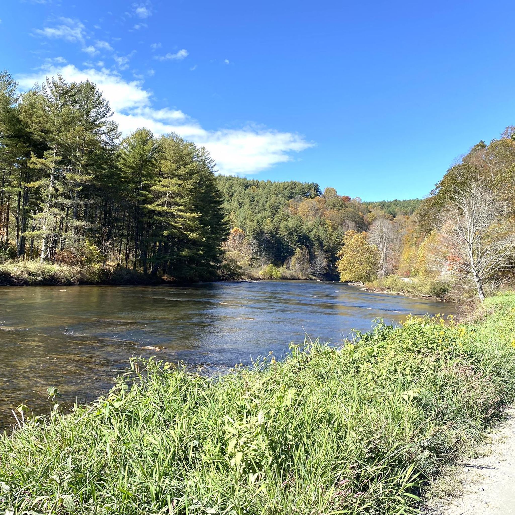
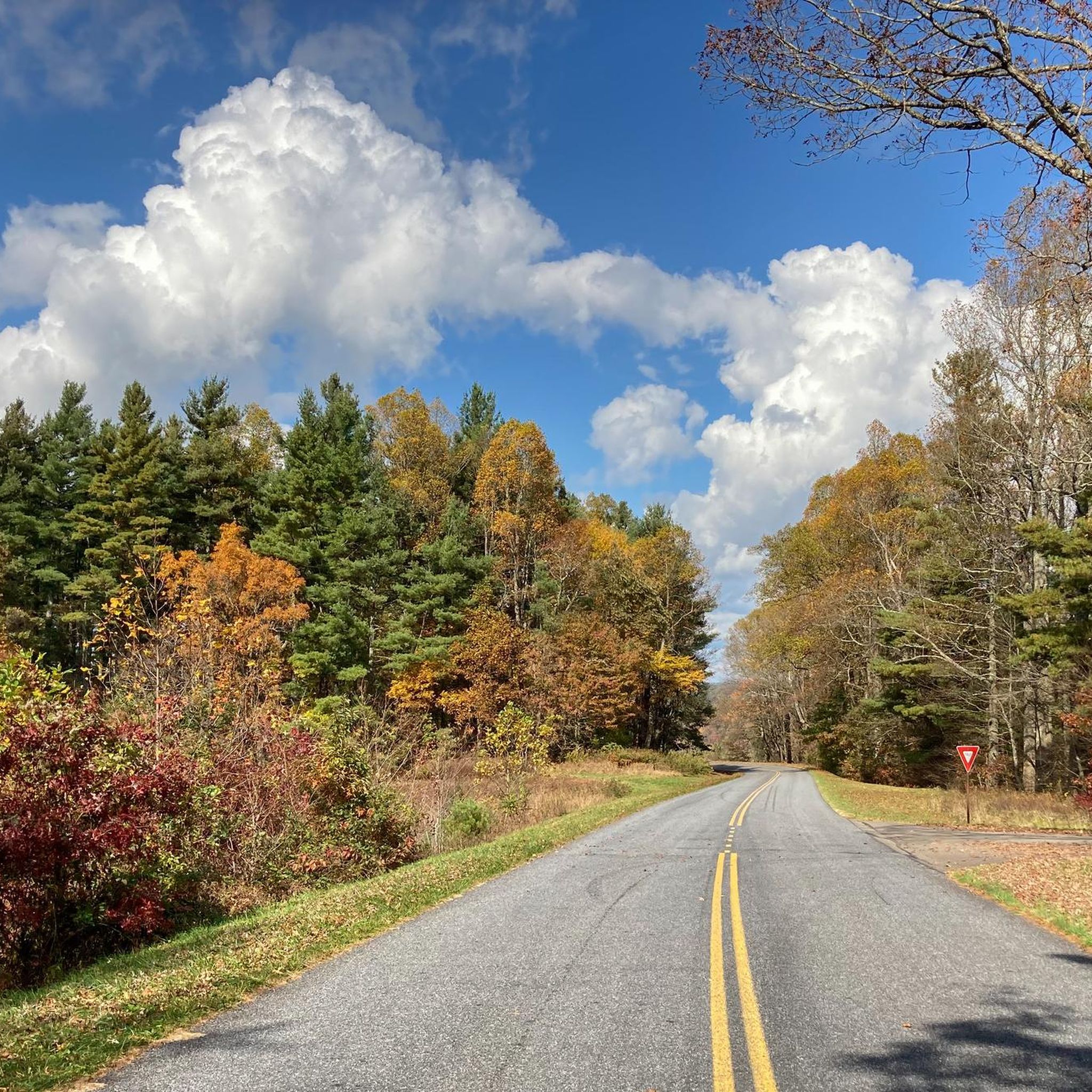
Road cycling in Ashe County, located in North Carolina's "High Country," offers a diverse landscape characterized by significant elevation changes, river valleys, and extensive parklands. The region boasts the highest average elevation in the state, providing challenging climbs and scenic descents. Cyclists encounter varied terrain, including stretches of the Blue Ridge Parkway, numerous back roads, and routes along the New River. This area's physical features make it suitable for a range of road cycling experiences.
Best road cycling routes in…
Last updated: July 9, 2026
2
riders
22.4km
01:19
520m
520m
Moderate road ride. Good fitness required. Mostly well-paved surfaces and easy to ride.
1
riders
63.7km
03:22
1,210m
1,210m
Hard road ride. Very good fitness required. Mostly well-paved surfaces and easy to ride.

Sign up for free
32.5km
01:49
700m
700m
Moderate road ride. Good fitness required. Mostly well-paved surfaces and easy to ride.
5.0
(1)
35
riders
Easy road ride. Great for any fitness level. Mostly well-paved surfaces and easy to ride.
9
riders
Moderate road ride. Good fitness required. Some segments of this route may be unpaved and difficult to ride.
5.0
(2)
6
riders
46.2km
02:13
660m
660m
Moderate road ride. Good fitness required. Mostly well-paved surfaces and easy to ride.
6
riders
Moderate road ride. Good fitness required. Mostly well-paved surfaces and easy to ride.
7
riders
167km
08:37
2,950m
2,950m
Hard road ride. Very good fitness required. Mostly well-paved surfaces and easy to ride.
5
riders
37.2km
01:44
380m
380m
Moderate road ride. Good fitness required. Mostly well-paved surfaces and easy to ride.
3
riders
Moderate road ride. Good fitness required. Mostly well-paved surfaces and easy to ride.
Get access to more routes and recommendations from other explorers.
Sign up for free
Already have an account?
Our route recommendations are based on thousands of hikes, rides, and runs completed by other people on komoot.
Start today with a free account
Your next adventure awaits.
Login or Signup


Tips from the Community

The Mount Jefferson View on the Blue Ridge Parkway is situated at Milepost 266.8. The mountain is tall enough that you can see it in the distance, but the overgrowth near the viewing area blocks off any views that once existed of the lower foothills.
0
0
Carroll Gap Overlook is situated at Milepost 278.3 on the Blue Ridge Parkway. The overlook is at an elevation of 3,430 feet and provides a great view of the Carroll Gap and Deep Gap areas along the parkway. Once you pass this overlook (headed south), you are really starting to get near the town of Boone.
0
0
Carroll Gap Overlook is situated at Milepost 278.3 on the Blue Ridge Parkway. The overlook is at an elevation of 3,430 feet and provides a great view of the Carroll Gap and Deep Gap areas along the parkway. Once you pass this overlook (headed south), you are really starting to get near the town of Boone.
0
0
Osborne Mountain Overlook is located at Milepost 277.9 on the Blue Ridge Parkway. The overlook peers out onto a bunch of small mountain peaks and their valleys, but the overlook is much more overgrown than it once was, blocking some of the lower views.
0
0
Osborne Mountain Overlook is located at Milepost 277.9 on the Blue Ridge Parkway. The overlook peers out onto a bunch of small mountain peaks and their valleys, but the overlook is much more overgrown than it once was, blocking some of the lower views.
0
0
Grandview Overlook is located at Milepost 281.4 on the Blue Ridge Parkway. It provides open views of the Yadkin Valley and is one of the most popular overlooks on this section of the parkway.
0
0
Grandview Overlook is located at Milepost 281.4 on the Blue Ridge Parkway. It provides open views of the Yadkin Valley and is one of the most popular overlooks on this section of the parkway.
0
0
Stoney Fork Overlook is located at Milepost 277.3 on the Blue Ridge Parkway. It peers onto the foothills and fields of the Stoney Fork Valley.
0
0
Frequently Asked Questions
How many road cycling routes are available in Ashe County?
Ashe County features over 10 road cycling routes, catering to a wide range of abilities. These routes explore the region's diverse landscape, from challenging mountain climbs to serene river valleys.
What kind of terrain can I expect when road cycling in Ashe County?
You can expect a diverse landscape, from challenging mountainous terrain with significant elevation gains, particularly on routes that ascend towards the Blue Ridge Parkway, to more relaxed, flatter sections along river valleys like the New River. The county boasts the highest average elevation in North Carolina, ensuring varied and often demanding rides.
Are there any easy road cycling routes suitable for families or beginners in Ashe County?
Yes, for those seeking a more relaxed experience, the region offers easier routes. A notable option is the New River Route, which provides a leisurely 22-mile roundtrip on a paved road from Todd to Fleetwood, following the South Fork of the New River. One easy route available on komoot is View of Pasture and River – Todd Mercantile loop from Blackburn Vannoy Farm, which features gentle elevation gains.
Where can I find challenging road cycling routes with significant elevation gain?
Ashe County is renowned for its challenging terrain, with routes featuring substantial elevation gains. For instance, the Todd Mercantile loop from Jefferson is a difficult 103.9-mile path with nearly 3,000 meters of elevation gain. Another demanding option is the View of Mount Jefferson – The Lump Overlook loop from Jefferson, covering almost 100 km with over 1,800 meters of ascent.
What are the best times of year for road cycling in Ashe County?
Ashe County's temperate climate makes it suitable for year-round outdoor pursuits. Spring and fall offer particularly pleasant conditions with vibrant foliage or blooming wildflowers. Summer can be warm but is generally manageable due to the county's higher elevation. Cyclists should always check local weather forecasts, especially for mountain routes, as conditions can change rapidly.
What scenic viewpoints or natural attractions can I see along road cycling routes?
Many routes offer stunning scenery, passing through charming towns, pastures, and mountain vistas. You can expect views of the New River, and some routes may offer glimpses of Mount Jefferson. For panoramic views, consider visiting Jumpinoff Rock Overlook Trail or Lewis Fork Overlook, which are accessible from certain areas. The Roadbike loop from Mount Jefferson State Natural Area offers direct access to the area around Mount Jefferson.
Are there any loop trails for road cycling in Ashe County?
Yes, many road cycling routes in Ashe County are designed as loops, allowing you to start and end at the same point. Examples include the Red Barn With 'Jesus' Sign – Todd Mercantile loop from Todd and the Roadbike loop from Jefferson, which are popular choices among local cyclists.
What kind of wildlife might I encounter while cycling along the New River?
The New River is a National Wild and Scenic River, supporting a diverse ecosystem. While cycling along its banks, especially on routes like the New River Route from Todd to Fleetwood, you might spot various bird species, beavers, muskrats, and otters in their natural habitat.
What do other road cyclists enjoy most about road cycling in Ashe County?
The komoot community highly rates road cycling in Ashe County, with an average score of 5.0 stars. Cyclists frequently praise the region's diverse terrain, from challenging climbs to scenic river routes, and the breathtaking mountain vistas. The variety of routes ensures there's something for every skill level.
Are there any specific landmarks or points of interest along the road cycling routes?
Beyond the natural beauty, routes often pass through charming towns like West Jefferson. While cycling, you might encounter unique local sights such as the 'Red Barn With 'Jesus' Sign' along the Red Barn With 'Jesus' Sign – Todd Mercantile loop from Todd. For broader exploration, consider visiting Mount Jefferson State Natural Area, which offers panoramic views and hiking trails.
Is parking available at the trailheads for road cycling routes?
Parking is generally available near popular starting points for road cycling routes in Ashe County, particularly in towns like Jefferson and Todd, or at designated access points for parks and trails. It's always advisable to check specific route details or local information for the most convenient parking options before your ride.
Most popular attractions in Ashe County

Get inspired with the komoot mobile app


Didn’t find what you were looking for?
Check out more Road cycling routes throughout Ashe County below and find the perfect route in your destination.
Explore more
Browse the best Road cycling routes in other regions.
