The best road cycling routes around Lutvann
4.3
(61)
4,405
riders
89
rides
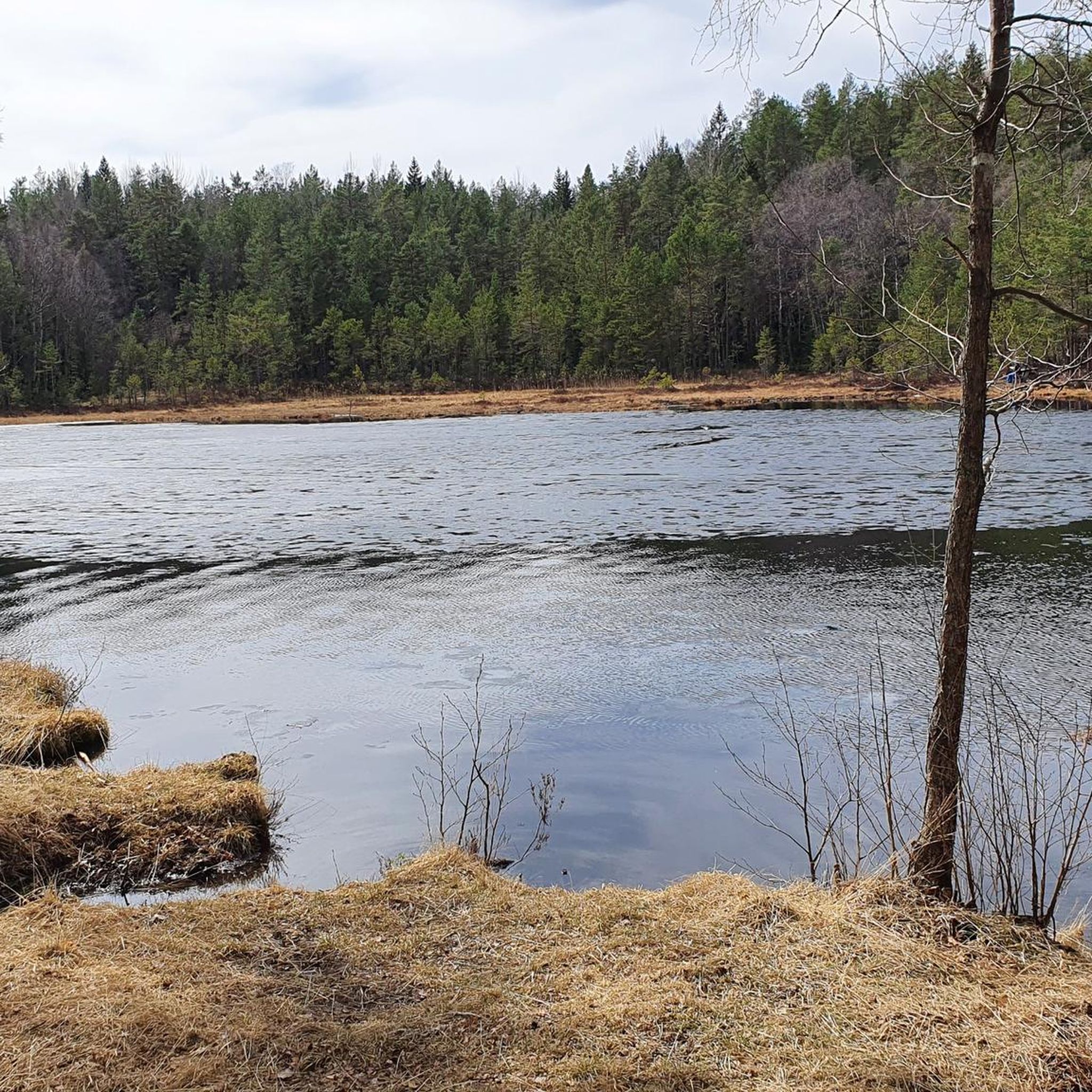
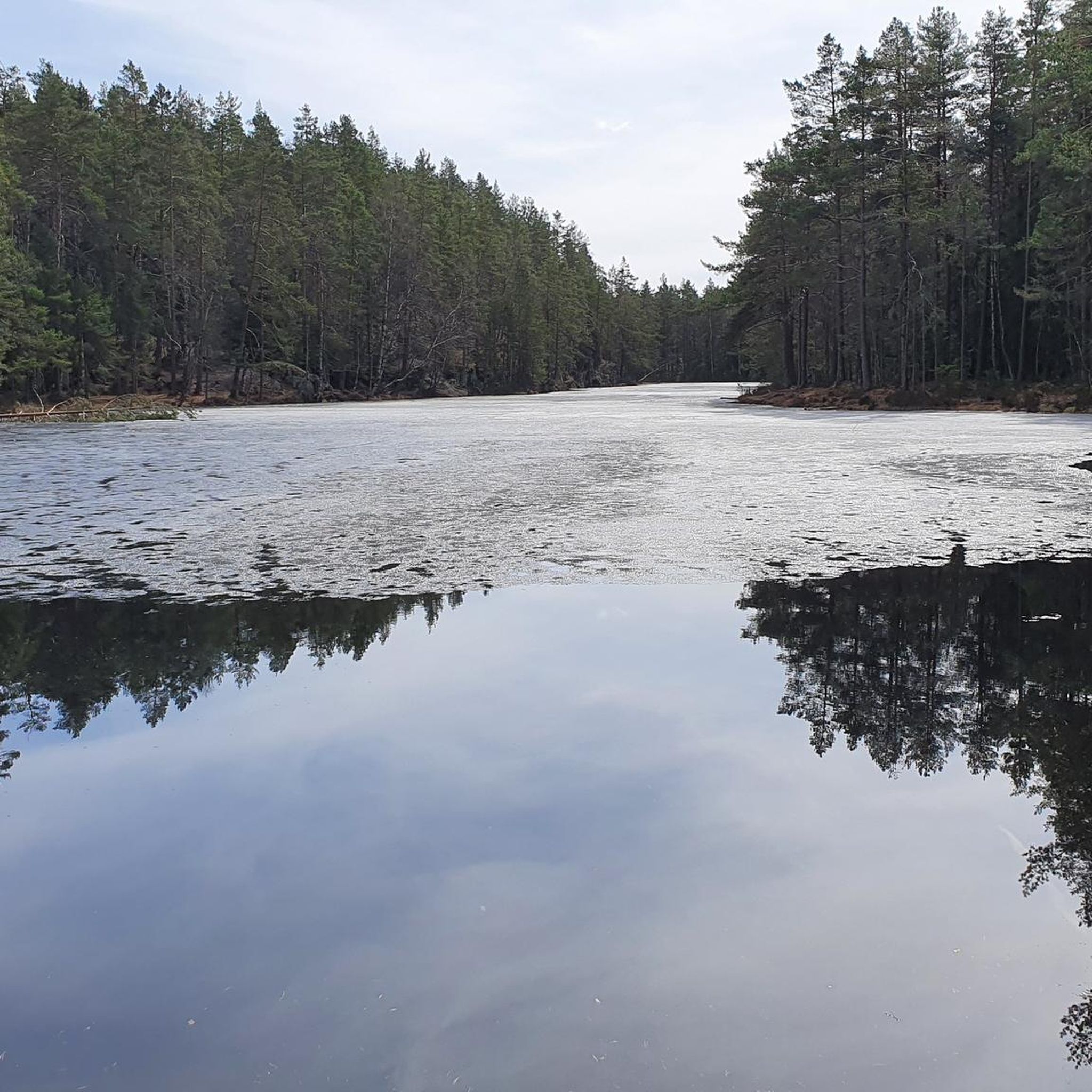
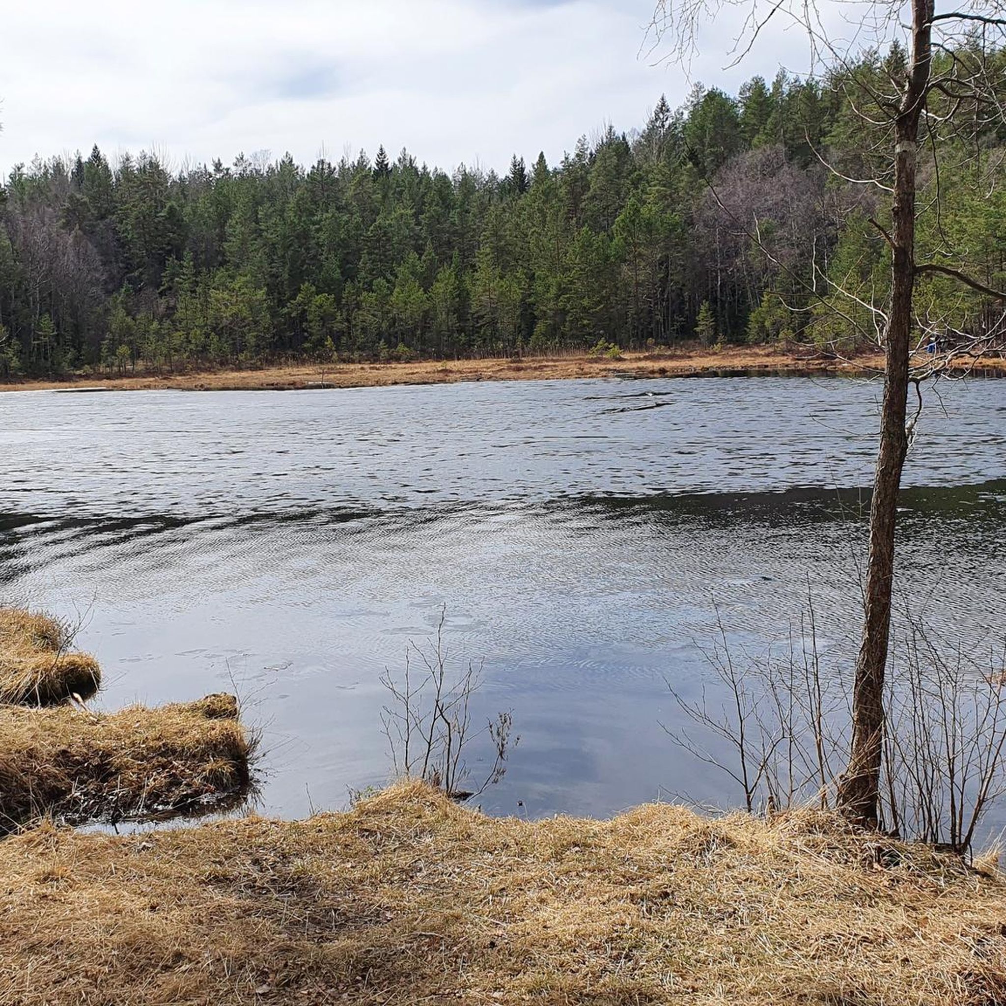
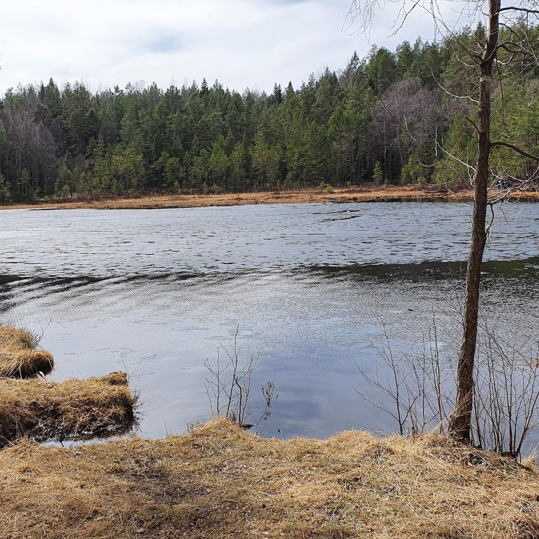
Road cycling routes around Lutvann are situated within the Østmarka recreational area, characterized by a diverse forest landscape and pine-covered hills. The region offers a network of routes that combine paved road approaches with scenic gravel sections, allowing road cyclists to explore the tranquil surroundings. Lutvann itself is a lake at an elevation of 205 meters, integrated into routes that feature varied terrain and accessible paths. This area provides opportunities for road cyclists to experience both challenging climbs and gentler…
Last updated: July 5, 2026
5
riders
140km
06:16
1,360m
1,360m
Hard road ride. Very good fitness required. Some segments of this route may be unpaved and difficult to ride.
19
riders
115km
05:07
1,090m
1,090m
Hard road ride. Very good fitness required. Some segments of this route may be unpaved and difficult to ride.

Sign up for free
5.0
(1)
34
riders
87.0km
04:00
890m
890m
Moderate road ride. Good fitness required. Mostly well-paved surfaces and easy to ride.
5.0
(6)
17
riders
40.9km
01:52
350m
350m
Moderate road ride. Good fitness required. Some segments of this route may be unpaved and difficult to ride.
6
riders
29.9km
01:27
300m
300m
Moderate road ride. Good fitness required. Mostly well-paved surfaces and easy to ride.
Get access to more routes and recommendations from other explorers.
Sign up for free
Already have an account?
Our route recommendations are based on thousands of hikes, rides, and runs completed by other people on komoot.
Start today with a free account
Your next adventure awaits.
Login or Signup

Tips from the Community

This lovely old stone bridge crosses a small river and adds a touch of history to the route.
0
0
Enjoy a quieter stretch through the countryside with open fields and rural scenery.
0
0

The Lillestrøm Bicycle Highway (Sykkelstamveien) is one of Norway’s showcase cycling routes, built as a fast, direct commuter corridor linking Lillestrøm with Oslo. It’s wide, smooth and fully separated from traffic, making it both safe and stress-free.
1
0


Nice neighborhoods with undisturbed roads!
0
0

Nice view of the lake from the road. It's peaceful and picturesque, and the road is undulating and smooth. A very nice place to ride a bike.
0
0

Perfect bike road between Spydeberg and Lyseren.
0
0
Frequently Asked Questions
How many road cycling routes are available around Lutvann?
The Lutvann area, situated within the Østmarka recreational area, offers a wide selection of road cycling routes. Komoot features nearly 100 routes, providing diverse options for cyclists.
What are the typical terrain conditions for road cycling around Lutvann?
Road cycling around Lutvann is characterized by a mix of terrain. While some routes feature paved roads, many integrate scenic gravel sections, allowing cyclists to explore the tranquil forest landscape of Østmarka. The area includes pine-covered hills and varied paths.
Are there road cycling routes suitable for beginners or families around Lutvann?
Yes, while many routes are moderate to difficult, there are 11 easy road cycling routes available around Lutvann. These routes offer gentler terrain, making them suitable for beginners or families looking for a less challenging ride.
What is the best time of year to go road cycling in Lutvann?
The best time for road cycling around Lutvann is generally during the warmer months when the trails are clear of snow and ice. The region's diverse forest landscape is particularly beautiful in spring, summer, and autumn. Winter conditions can make many routes suitable for cross-country skiing or ice skating instead of road cycling.
Are there any specific regulations or permits needed for cycling in the Østmarka area?
Generally, cycling is permitted on designated roads and trails within the Østmarka recreational area. However, it's always advisable to respect local signage and regulations, especially concerning protected areas or private land. No specific permits for general cycling are typically required.
Where can I find parking for road cycling routes near Lutvann?
Given Lutvann's proximity to Oslo and its integration into the Østmarka area, various parking options are available at entry points to the recreational area. Cyclists often start their tours from surrounding neighborhoods like Haugerud, Bøler, or Tveita, where public parking might be found, or they use public transport to reach starting points.
How accessible is Lutvann by public transport for cyclists?
Lutvann is well-integrated into the public transport network serving the Oslo region. Cyclists can often reach starting points for routes around Lutvann using buses or the metro, which allows for easy access to the Østmarka area without needing a car. For example, routes like Ski Airport – View of the lake loop from Haugerud start from areas with good public transport connections.
What kind of natural features or viewpoints can I expect to see on the routes?
Road cycling routes around Lutvann offer stunning natural features. You can expect to see the picturesque Lutvann lake itself, clear waters, and diverse forest landscapes with pine-covered hills. Some routes, such as Lovely and quiet back road – Lake View in Østmarka loop from Bøler, provide scenic lake views. The wider Østmarka area also holds historical elements like the ruins of Sarabråten, a former summer estate.
Are there any cafes or places to stop for refreshments along the routes?
While the immediate vicinity of Lutvann is primarily natural wilderness, the broader Østmarka area and the surrounding neighborhoods from which many routes start (e.g., Bøler, Tveita) offer cafes and shops where you can refuel. Planning your route to pass through these areas is recommended for refreshment stops.
Can I find accommodation near the Lutvann cycling routes?
Yes, as Lutvann is close to Oslo, there are various accommodation options available in the city and its surrounding areas. You can find hotels, guesthouses, and other lodging choices that provide convenient access to the Østmarka recreational area and the road cycling routes around Lutvann.
What do other cyclists say about road cycling in Lutvann?
The road cycling routes around Lutvann are highly rated by the komoot community, with an average score of 4.2 stars from nearly 50 reviews. Over 4000 road cyclists have used komoot to explore the varied terrain, often praising the diverse forest landscapes and the combination of paved and gravel sections.
Are there any circular road cycling routes around Lutvann?
Yes, many of the road cycling routes around Lutvann are designed as loops, allowing you to start and end at the same point. Examples include the Lillestrøm Hill loop from Tveita and the Karushøgda – Monsebråten loop from Grorud, which offer varied distances and elevations.
What are the difficulty levels of road cycling routes in the Lutvann area?
The road cycling routes around Lutvann cater to various skill levels. You'll find 11 easy routes, 49 moderate routes, and 38 difficult routes. This range ensures that both casual riders and experienced cyclists can find a suitable challenge, from gentler paths to routes with significant elevation changes like the Ski Airport – View of the lake loop from Haugerud.
Most popular routes around Lutvann

Get inspired with the komoot mobile app


Explore more
Browse the best Road cycling routes in other regions.
