The best running trails in Penobscot County
252
runners
73
runs
Jogging in Penobscot County offers diverse landscapes, from riverfront paths to extensive timberlands and rolling hills. The region is characterized by the Penobscot River, numerous lakes, and vast forests of spruce, fir, maple, birch, and aspen. Its varied terrain provides both flat, paved surfaces and more rugged, natural trails, catering to different running preferences. This makes Penobscot County an appealing destination for outdoor enthusiasts seeking a range of jogging experiences.
Best jogging routes in Penobscot County
- The most popular jogging route is East/West Loop trail run — Rolland F. Perry City Forest, a 3.9 miles (6.3 km) trail that takes 39 minutes to complete. This route offers diverse running environments within the city forest.
- Another top favourite among local runners is Riverfront Trail run — Bangor, Maine, a moderate 3.2 miles (5.2 km) path. This route provides flat, paved paths along the Penobscot River with scenic views.
- Local runners also love the River Trail & Toe Road loop run — Penobscot River Trails, a 15.6 miles (25.1 km) trail leading through an extensive network of packed-gravel and dirt trails, often completed in about 3 hours 3 minutes.
- Jogging in Penobscot County is defined by the Penobscot River, extensive timberlands, and varied terrain including wetlands and rolling hills. The network offers options for easy, moderate, and difficult running routes.
- The guide includes highly-rated routes that showcase the best of the region's landscape. More than 190 runners have used komoot to explore Penobscot County's varied terrain.
Last updated: October 10, 2026
37
runners
6.32km
00:39
10m
10m
The East/West Loop trail run offers a pleasant, straightforward experience through the wooded landscapes of the Rolland F. Perry City Forest. You'll find yourself on generally wide dirt and gravel paths, making for a smooth jogging surface without significant technical challenges. It's a great way to immerse yourself in nature and enjoy the tranquility of the forest, providing a refreshing escape from urban life.
Planning your visit to this East/West Loop trail run is relatively simple, though it's always a good idea to be prepared for the elements. Given its wooded nature, the trail can become muddy after rain or snowmelt, so appropriate trail running shoes are recommended. Check local weather conditions before you go to ensure a comfortable and enjoyable outing.
This particular East/West Loop trail run is notable for its accessibility and moderate difficulty, making it an excellent choice for beginner joggers or anyone seeking a less strenuous workout. With a distance of 3.9 miles (6.3 km) and only 44 feet (13 metres) of elevation gain, you can expect to complete the route in about 39 minutes. It's a fantastic option for a quick, invigorating run without demanding too much time or effort.
2
runners
5.17km
00:33
40m
40m
Lace up for a refreshing jogging experience on the Kenduskeag Stream Trail, a moderate route that offers a unique blend of urban and natural scenery right in Bangor, Maine. As you follow the Kenduskeag Stream, you will encounter picturesque views of waterfalls, rapids, and striking granite rocks. This 3.2-mile (5.2 km) route involves a gentle climb of 144 feet (44 metres) and can typically be completed in about 32 minutes, making it an ideal choice for a quick, invigorating outing.
Accessing the trail is straightforward, with multiple parking areas available, including convenient spots in downtown Bangor. While the route is enjoyable across various seasons, remember that it is not plowed during winter, so plan your visit accordingly. Be aware that some sections, particularly those closer to the city center, have occasionally faced maintenance issues like litter, which is good to know before you go.
Beyond the natural beauty, the trail provides glimpses into the region's rich industrial past. You can discover remnants of old mills and dams along the way, offering a historical context to your jog. Keep an eye out for lookouts, such as one situated atop an old sawmill foundation, which provides compelling views of the

1
runners
25.1km
03:03
110m
110m
Prepare for a difficult jogging experience on the Tote Road and River Trail Loop, a route that spans 15.6 miles (25.1 km) and involves climbing 347 feet (106 metres). You can expect to complete this journey in about 3 hours and 3 minutes. As you jog, you will encounter varied terrain, moving from wide doubletrack sections, remnants of old logging roads, to more natural dirt and rock paths that hug the Penobscot River. The trail winds through dense forests, offering glimpses of the river and its small cascades, providing many chances to get close to the water's edge.
This jogging route is generally accessible, though specific parking details are not provided in advance; trails like this typically have clear access points. Before you head out, it is always wise to check local conditions, especially if you are planning your visit during changing seasons. This ensures you are prepared for any potential weather or trail surface variations. Consider starting your jog early in the morning to enjoy cooler temperatures and potentially spot more wildlife along the way.
Beyond the physical challenge, this loop offers a chance to immerse yourself in the Penobscot River Trails, an area known for its natural beauty. Keep an eye out for diverse wildlife, including deer and various bird species, as you move through the forested sections. The blend of old logging roads and riverside paths provides a unique perspective on the region's history and ecology, making it more than just a workout.
1
runners
5.84km
00:42
20m
20m
The Bait Hole and North Twin Dam Loop offers a moderate jogging experience through picturesque scenery. This 3.6-mile (5.8 km) route guides you along Elbow Lake to the south, where you can enjoy views of the water and the distant Whitecap and Jo-Mary Mountains. You will gain 69 feet (21 metres) in elevation, and the trail then follows the West Branch Penobscot River for a short stretch after passing North Twin Dam. Expect to complete this refreshing jog in about 42 minutes.
This loop is part of the wider Bait Hole Recreation Trails network, which is well-maintained by local volunteers. The trail system is versatile, welcoming joggers, walkers, and mountain bikers during the summer months. In winter, it transforms into a spot for cross-country skiing and snowshoeing. If you bring your dog along, please remember to keep them on a leash.
As you jog, keep an eye out for local wildlife, particularly around Bait Hole Pond and the nearby marsh. Moose and seasonal waterfowl are often spotted in these areas, adding to the natural charm of the route. This trail provides an excellent option for a quick run, allowing you to immerse yourself in the natural environment of the region.
1
runners
3.50km
00:22
10m
10m
Embark on an easy jogging experience along the Mike Michaud Trail, a paved loop that guides you through a mix of forested sections and peaceful residential areas. As you cover the 2.2 miles (3.5 km) and gain a gentle 39 feet (12 metres) in elevation, you'll find yourself alongside the tranquil Millinocket Stream. Keep an eye out for local wildlife like ducks and songbirds, especially in the quieter stretches. The route is designed for a quick outing, taking approximately 21 minutes to complete. You might even catch glimpses of Katahdin in the distance, adding a scenic backdrop to your run. Volunteers have also enhanced the trail with various flowers and shrubs, creating a pleasant atmosphere. This accessible path offers a refreshing escape right within the town.
Planning your visit to the Mike Michaud Trail is straightforward, as it is designed for high accessibility. You can easily access the route from multiple points within Millinocket, making it convenient whether you are coming from downtown, a local school, or one of the nearby parks. The trail is mostly paved and wheelchair friendly, ensuring a smooth experience for many users. It is even plowed during the winter months, allowing you to enjoy a jog here year-round, regardless of the season. No special permits or fees are required to use this community amenity.
The Mike Michaud Trail stands out as a valuable local resource, connecting key areas of Millinocket while offering a pleasant outdoor experience. Beyond its practical function, the route provides opportunities to observe local flora and fauna, including various bird species. The thoughtful planting of flowers and shrubs by local volunteers adds to the trail's charm and makes each visit a little more colorful. It's a testament to community effort, providing a well-maintained and enjoyable path for daily exercise and connection with nature.
2.58km
00:16
0m
0m
The Bangor Waterfront run is a fantastic choice for a quick, refreshing jog, offering smooth, paved surfaces and continuous views of the Penobscot River. As you follow the path, you'll pass through the lively Waterfront Park, known for its sculptures and green spaces, and might even catch sight of local wildlife like otters or cormorants. This 1.6-mile (2.6 km) route is incredibly flat, with only 5 feet (2 metres) of elevation gain, making it an easy 15-minute outing perfect for all abilities.
Planning your visit is straightforward, as the trail is easily accessible with ample parking available near the Waterfront Park. You'll find convenient amenities like restrooms, water fountains, and benches along the way. For the most scenic experience, consider heading out in the late afternoon to witness stunning sunsets over the Penobscot River, making it one of the best running routes Bangor Maine waterfront has to offer.
This trail is a key part of Bangor's urban landscape, connecting to other significant pathways like the East Coast Greenway and the Kenduskeag Stream Trail, offering options for longer runs if you wish. Its flat, paved terrain and accessibility make it a popular spot for family-friendly running and dog-friendly jogging, providing a peaceful escape within the city away from traffic.
5.95km
00:39
30m
30m
The East / West Loop Trail offers a refreshing jogging experience through varied landscapes, likely transitioning from paved sections to natural-surface singletrack. You can expect to pass through green spaces and wooded areas, with the nearby Orono Bog Boardwalk providing a unique natural feature to explore. This moderate 3.7-mile (5.9 km) loop with 82 feet (25 metres) of elevation gain is perfect for a consistent, enjoyable run.
Accessing the East / West Loop Trail is generally easy, with multiple access points and parking options common for trails of this type. Given its relatively short duration of about 38 minutes, it's a flexible route you can fit into your schedule any time of day. Consider an early morning or late afternoon jog for cooler temperatures and pleasant light, and always remember to bring water.
This trail is a great example of popular routes that offer a blend of natural beauty and accessibility for joggers. Its moderate difficulty makes it suitable for a wide range of fitness levels, providing a reliable option for a quick workout or a relaxing run in the Bangor area. It's a solid choice if you're looking for a well-maintained path without extreme challenges.
4.91km
00:32
70m
70m
Embark on an easy jogging route along the Seboeis Riverside and Shin Falls Trail Loop, covering 3.1 miles (4.9 km) with a gentle elevation gain of 235 feet (72 metres). You can expect to complete this scenic loop in about 32 minutes, immersing yourself in a true wilderness setting. The trail offers a refreshing experience, leading you through varied terrain to the captivating Shin Brook Falls, a prominent visual landmark. While primarily for jogging, some sections near the falls are rugged, adding a touch of adventure to your run.
Before you head out, be prepared for potentially wet and flooded conditions, especially after heavy rainfall. The trail can present challenging terrain in steeper areas, where ropes are sometimes installed to assist hikers. It is wise to check local conditions and weather forecasts to ensure a pleasant and safe visit. This remote location means you should plan your visit with self-sufficiency in mind, as amenities are limited.
This route is celebrated for its natural beauty and less-crowded atmosphere, offering a peaceful escape into the wild. The main highlight is Shin Brook Falls, a beautiful waterfall featuring three distinct drops, including a significant 30-foot plunge. You will find excellent opportunities for photography, particularly during the morning or afternoon when the falls are bathed in sunlight. It is a unique destination for those seeking a tranquil outdoor experience away from bustling crowds.
17.6km
02:06
250m
250m
Prepare for a challenging jogging experience on the Sugarloaf Mountain loop, a difficult route spanning 10.9 miles (17.6 km). You'll gain 815 feet (249 metres) in elevation over an estimated 2 hours and 6 minutes, pushing through varied forest terrain. Expect steep sections with rock ledges and boulders, even some scrambling, as you ascend towards the summit. Your effort is rewarded with expansive 360-degree views from the top, offering a spectacular panorama of the surrounding landscape.
Before you head out, be aware that the road to the trailhead, Grondin Road, can be quite rough. You might need a high-clearance vehicle to reach the starting point directly, or you may have to park further away and walk in. This route is best suited for those who are prepared for a strenuous workout and comfortable with significant elevation changes and uneven ground. Plan your visit accordingly to ensure a smooth start to your adventure.
This trail stands out for its unique blend of forest exploration and a demanding climb, culminating in one of the region's most impressive viewpoints. From the open summit, you can clearly see prominent landmarks like Katahdin and Mount Chase, making it a memorable destination for experienced joggers. It offers a distinct challenge and a different perspective compared to other trails in the area, perfect if you're seeking a rigorous outdoor activity.
9.90km
01:22
270m
270m
Lace up your shoes for the Sugarloaf Mountain Trail, a moderate jogging route that takes you through changing forest landscapes. You will ascend through beautiful hardwood forests, gradually transitioning to softwood as you climb. This 6.1-mile (9.9 km) route involves a steady climb of 872 feet (266 metres) in elevation, typically completed in about 1 hour and 22 minutes. The highlight of your effort is reaching the Sugarloaf Mountain Summit, where you are rewarded with expansive panoramic views.
Before you head out, remember that accessing the trailhead is generally straightforward, with parking usually available nearby. However, it is always a good idea to check local conditions, especially if you are planning your visit during the shoulder seasons, as weather can significantly impact the trail. This route is a popular choice for jogging in the area, so planning your start time can help you enjoy a more peaceful experience.
This trail offers a fantastic opportunity to experience the natural beauty of Penobscot County, Maine. From the summit, you can clearly see iconic landmarks like Baxter Park and Katahdin, along with the vast surrounding valleys. The journey itself provides a good workout while immersing you in the serene environment, making it a notable option for anyone looking to combine exercise with scenic exploration in the region.
Get access to more routes and recommendations from other explorers.
Already have an account?
Our route recommendations are based on thousands of hikes, rides, and runs completed by other people on komoot.
Start today with a free account
Your next adventure awaits.
Popular around Penobscot County
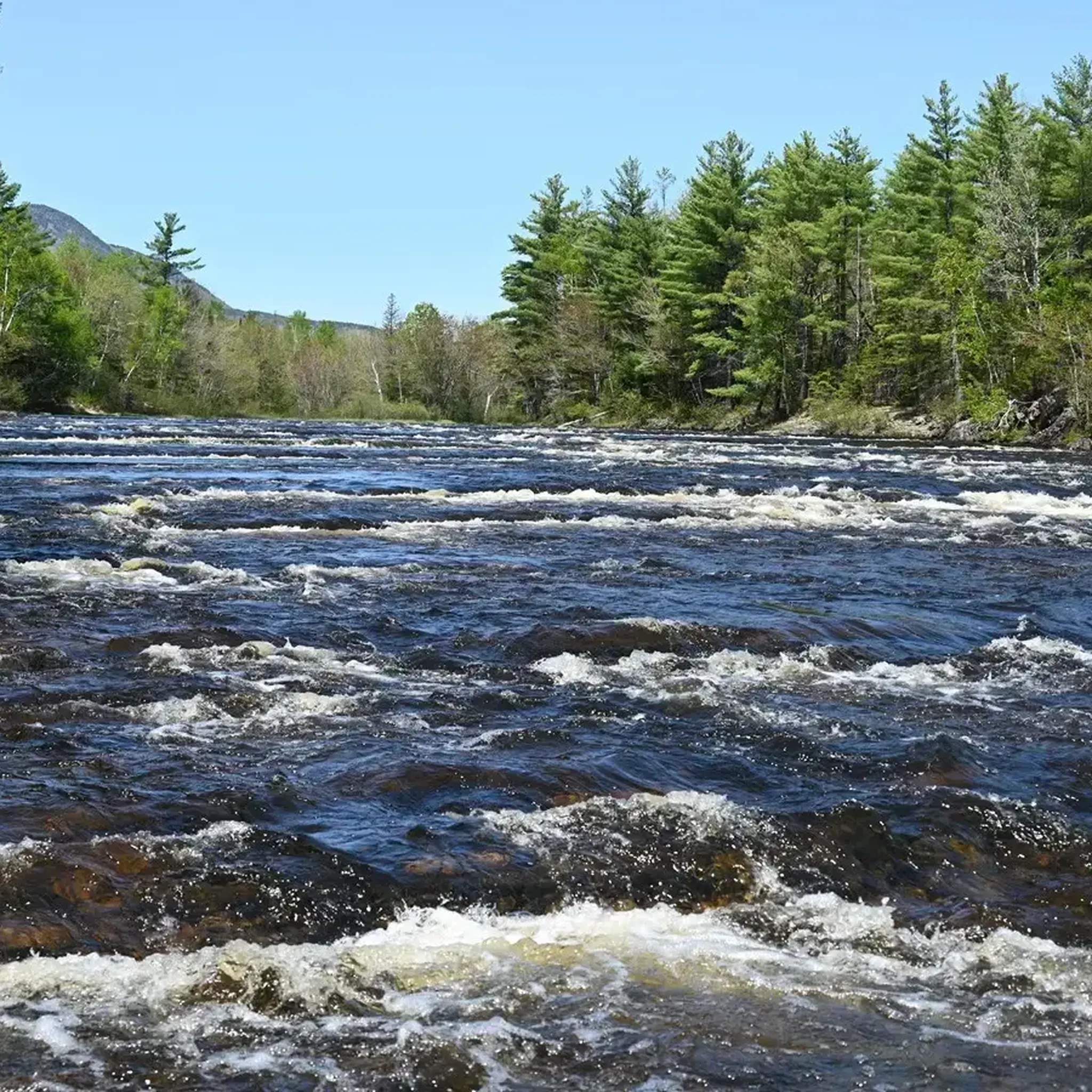
Running Trails in Katahdin Woods And Waters National Monument
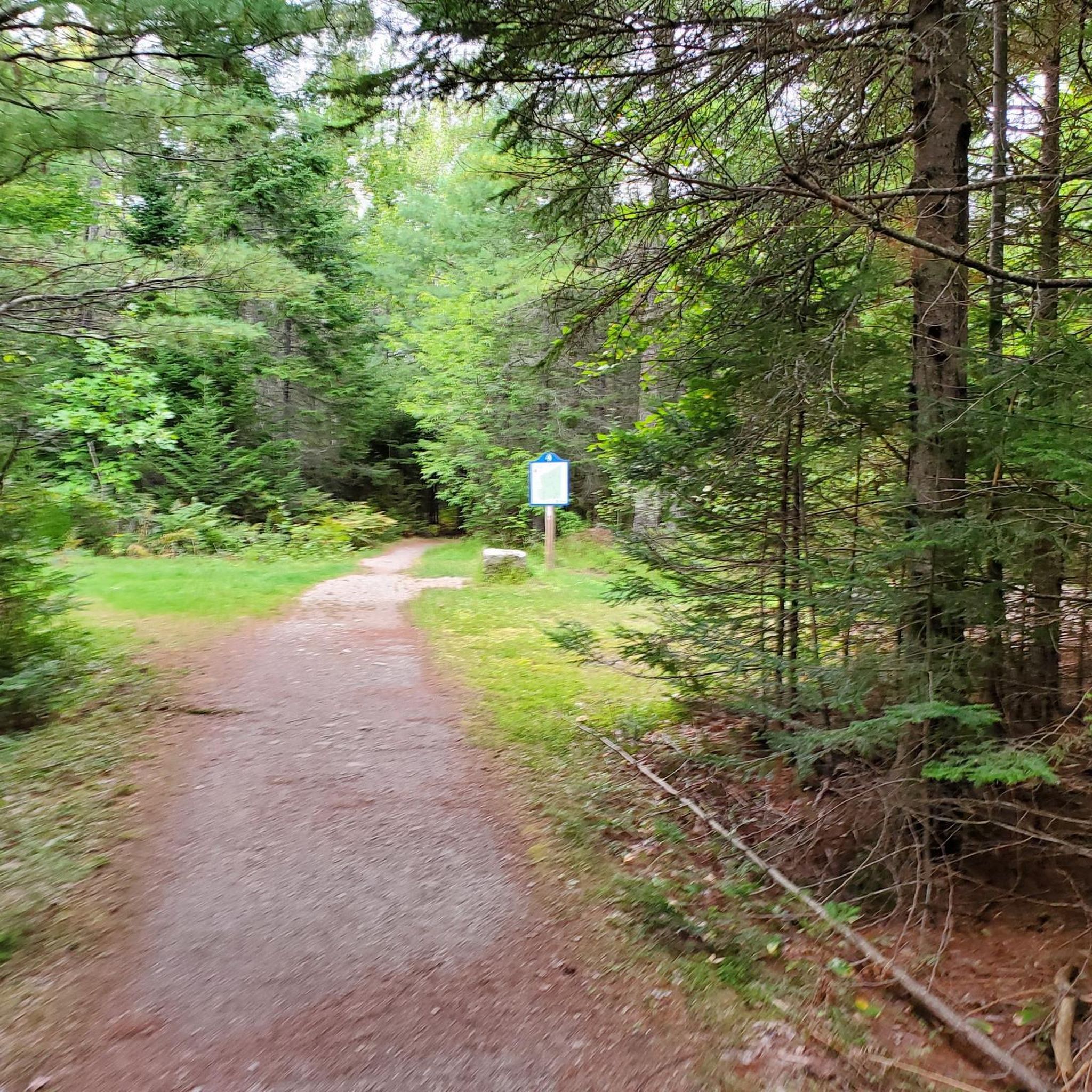
Running Trails around Bangor
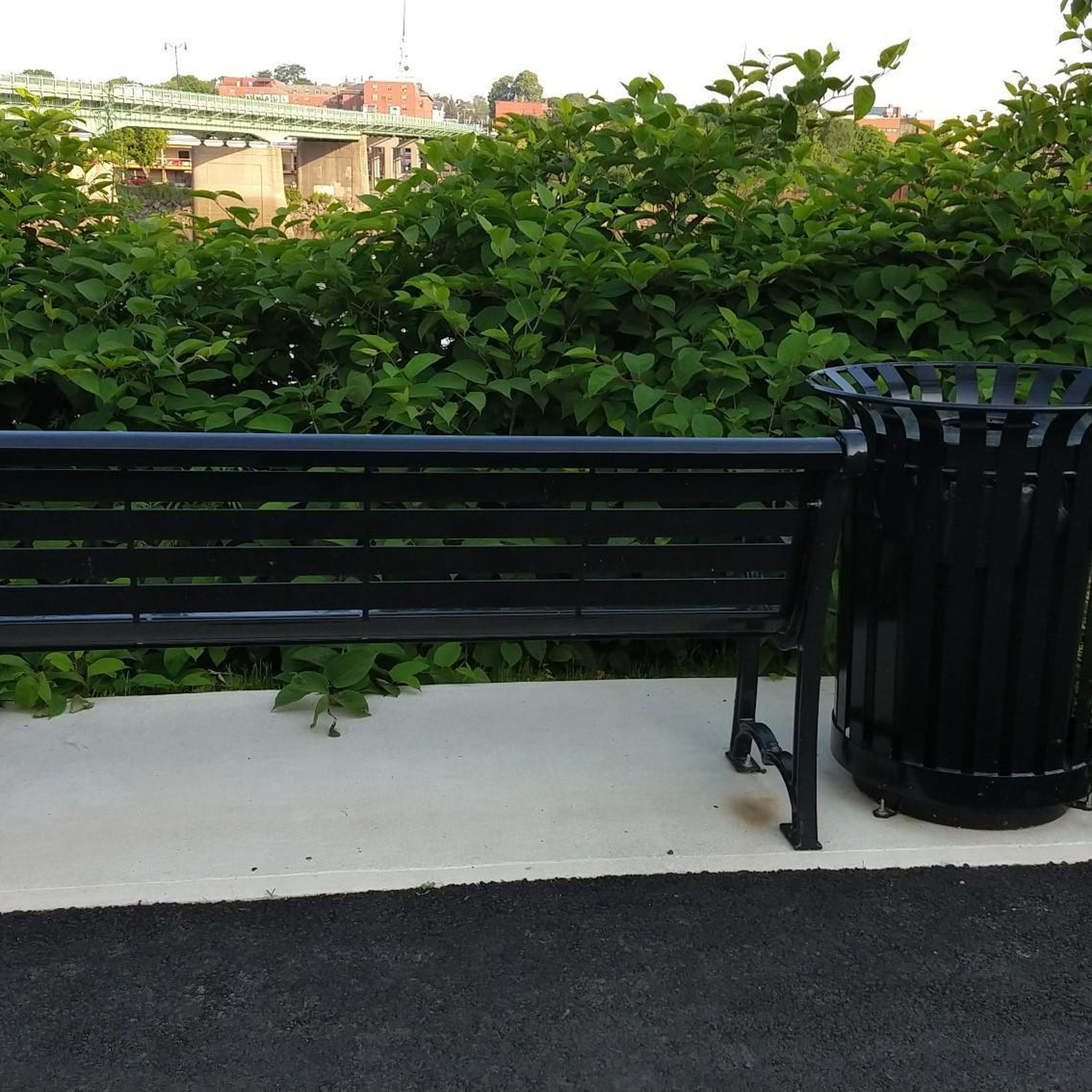
Running Trails around Brewer

Running Trails around Veazie

Running Trails around Hampden
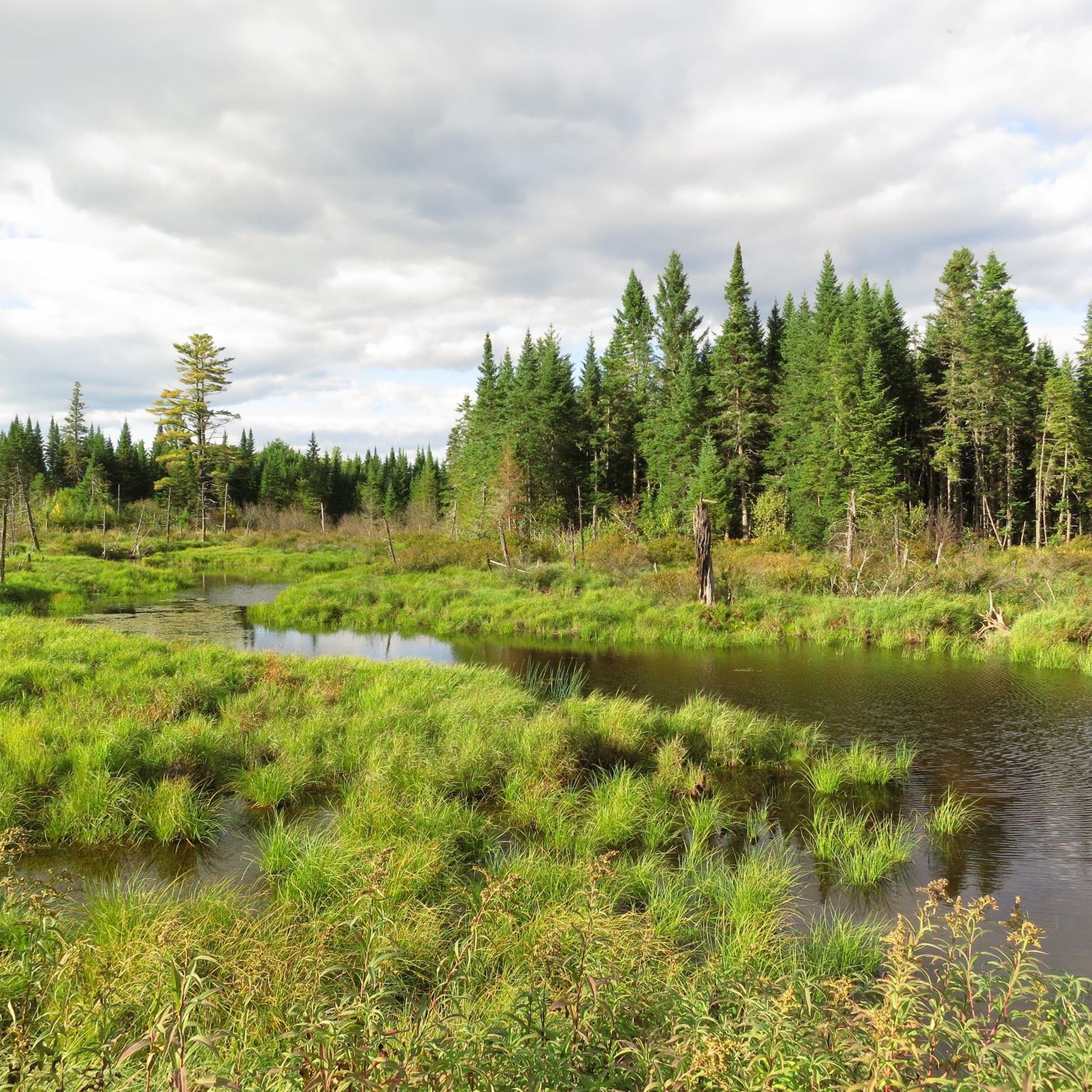
Running Trails in Sunkhaze Meadows National Wildlife Refuge

Running Trails around Bradley

Running Trails in University Forest

Running Trails around Old Town

Running Trails around Milford
Tips from the Community

Elbow Lake is part of the collection of lakes bordering Millinocket, Maine. The Bait Hole Recreation Trails get right up next to the water and offer views of the lake and back towards Baxter State Park.
0
0
The Orono Bog Boardwalk is the most popular trail in the Rolland F. Perry City Forest. It can be really slick when wet, but otherwise, it's a super unique trail to run on. Like the name suggests, the trail is entirely on a wooden walkway and passes through a wetland area with wildlife lining the path.
0
0
The East/West Loop is one of the most popular trails in the Rolland F. Perry City Forest. The trail is pretty wide, fairly flat, and mostly consists of crushed gravel and cinders. There are a lot of connecting trail, but most of the paths are marked pretty well and are easy to follow.
0
0
The Bangor Waterfront area has seen a lot of work and upkeep in recent years. There are paved paths, waterfront viewing areas, statues, gardens, green space, benches, and a lot of other recreational offerings that draw in the community of Bangor. It's nice to have these paved paths away from traffic without having to leave the city.
0
0
This bridge over the Kenduskeag Stream helps conenct Coe Park to the Riverfront Trail. You get great views up and down the stream from the middle of the bridge.
0
0
The Riverfront Trail in Bangor is a paved greenbelt that follows along with the Kenduskeag Stream from Coe Park to the Mount Pleasant Cemetery. The trail features a couple bridges and a couple different parking areas so that you can start at multiple points along the out-and-back path.
0
0
Elbow Lake is part of the collection of lakes bordering Millinocket, Maine. The Bait Hole Recreation Trails get right up next to the water and offer views of the lake and back towards Baxter State Park.
0
0
The Michael Michaud Trail is a multi-use trail that passes through downtown Millinocket and a handful of the city's parks. The path follows along with the main stream running through the middle of town, and it even passes by some of the stores and restaurants in the city.
0
0
Frequently Asked Questions
How many running routes are available in Penobscot County?
Penobscot County offers a wide variety of running experiences, with over 50 routes documented on komoot. These range from easy strolls to more challenging trails, ensuring options for all fitness levels.
Are there any easy running routes for beginners in Penobscot County?
Yes, there are several easy running routes perfect for beginners. A great option is the Michael Michaud Trail loop run — Millinocket, Maine, which is 3.5 miles (5.6 km) long and features minimal elevation gain. Another accessible choice is the Shin Falls Trail loop run — Mount Chase, Maine, offering a pleasant 3-mile (4.9 km) run.
Can I find circular running routes in the area?
Absolutely. Many routes in Penobscot County are designed as loops, providing a convenient circular experience. For example, the East/West Loop trail run — Rolland F. Perry City Forest is a popular 3.9-mile (6.3 km) circular route. Another option is the River Trail & Toe Road loop run — Penobscot River Trails, which offers a longer 15.6-mile (25.1 km) loop.
Are the running trails in Penobscot County suitable for families?
Many trails in Penobscot County are family-friendly, especially those with flatter, well-maintained surfaces. The Riverfront Trail run — Bangor, Maine, along the Penobscot River, is a great choice for families due to its paved path and scenic views. The Orono Bog Boardwalk loop run also offers a unique, accessible experience through a natural setting.
Are there dog-friendly running trails in Penobscot County?
Yes, many trails in Penobscot County welcome dogs, though it's always best to check local regulations for specific areas. Generally, natural trails like those in the Rolland F. Perry City Forest, such as the East/West Loop trail run, are suitable for running with your canine companion, provided they are on a leash.
What kind of scenery can I expect on the running routes?
Penobscot County offers diverse scenery for runners. You can enjoy flat, paved paths along the Penobscot River with urban and river views, such as the Riverfront Trail run. Other routes take you through extensive timberlands of spruce, fir, maple, birch, and aspen, wetlands, and rolling hills, like those found in the Rolland F. Perry City Forest or the Sunkhaze Meadows National Wildlife Refuge.
Are there any running routes that feature waterfalls?
Yes, for those who enjoy the sight and sound of waterfalls, the region has options. The Shin Falls Trail loop run — Mount Chase, Maine is a great choice, as it leads you near the beautiful Shin Brook Falls. The Kenduskeag Stream Trail also offers views of falls and rapids.
Where can I find parking for the running trails?
Parking is generally available at popular trailheads and parks throughout Penobscot County. For routes like the East/West Loop trail run or the Orono Bog Boardwalk loop run, parking is typically found at the Rolland F. Perry City Forest. Riverfront trails in Bangor and Brewer also have designated parking areas nearby.
What are some notable landmarks or points of interest near the running routes?
While running, you can encounter several points of interest. Along the riverfront, you'll find the Bangor Waterfront Park and the Brewer Riverwalk. For a unique natural experience, the Wetlands of Sunkhaze Meadows National Wildlife Refuge offer a primitive natural area. The region is also known for its extensive timberlands and the Penobscot River itself.
What is the best time of year for running in Penobscot County?
Penobscot County is a four-season destination for outdoor activities. Spring and fall offer pleasant temperatures and beautiful foliage, making them ideal for running. Summer is also popular, though some may prefer early morning or late evening runs to avoid the warmest parts of the day. Winter running is possible on cleared paths, but trails may be snowy or icy, requiring appropriate gear.
Are there options for longer, more challenging runs?
Yes, for experienced runners seeking a challenge, Penobscot County delivers. The River Trail & Toe Road loop run — Penobscot River Trails is a difficult 15.6-mile (25.1 km) route. Another demanding option is the Sugarloaf Mountain loop — Mount Chase, Maine, which covers 10.9 miles (17.6 km) with significant elevation changes, offering panoramic views from its summit.
Can I combine different paths for a longer run, especially along the river?
Yes, the riverfront paths in Bangor and Brewer are excellent for combining. The Brewer Riverwalk (0.7 miles) and the Penobscot River Walkway (0.8 miles) can be easily linked for a longer, continuous run along the Penobscot River. The Kenduskeag Stream Trail can also be connected to these river walkways for a varied urban and natural running experience.
Are there any running routes that offer panoramic views?
For breathtaking vistas, consider routes that ascend local peaks. The Sugarloaf Mountain loop — Mount Chase, Maine, provides panoramic views of the surrounding valley and mountains from its rocky summit at 1,868 feet. This route offers a rewarding challenge with stunning scenery.
Most popular routes in Penobscot County
Most popular attractions in Penobscot County

Get inspired with the komoot mobile app


Didn’t find what you were looking for?
Check out more Running Trails & Routes throughout Penobscot County below and find the perfect route in your destination.
Explore more
Browse the best Running Trails & Routes in other regions.
