The best running trails in Montgomery County
4.5
(2)
372
runners
31
runs
Jogging in Montgomery County offers diverse landscapes, from flat, paved paths to challenging hilly trails and wooded single tracks. The region features extensive park systems, natural resources including streams, wetlands, woodlands, and meadows, and trails alongside waterways like the Potomac River. Forested areas provide shaded routes, while some parks offer varied terrain with steep hills and tree tunnels. This variety ensures a range of experiences for runners.
Best jogging routes in Montgomery County
- The most popular jogging route is Clarksville…
Last updated: June 23, 2026
5.0
(1)
35
runners
17.7km
01:51
130m
130m
Hard run. Very good fitness required. Mostly paved surfaces. Suitable for all skill levels.
14
runners
4.07km
00:30
60m
60m
Easy run. Great for any fitness level. Mostly paved surfaces. Suitable for all skill levels.

Sign up for free
4.0
(1)
84
runners
9.23km
00:58
90m
90m
Moderate run. Good fitness required. Mostly paved surfaces. Suitable for all skill levels.
28
runners
6.70km
00:41
20m
20m
Moderate run. Good fitness required. Mostly paved surfaces. Suitable for all skill levels.
16
runners
Moderate run. Good fitness required. Mostly paved surfaces. Suitable for all skill levels.
13
runners
7.84km
00:49
50m
50m
Moderate run. Good fitness required. Mostly paved surfaces. Suitable for all skill levels.
13
runners
7.04km
00:44
30m
30m
Moderate run. Good fitness required. Mostly paved surfaces. Suitable for all skill levels.
6
runners
7.41km
00:50
80m
80m
Moderate run. Good fitness required. Mostly paved surfaces. Suitable for all skill levels.
5
runners
11.7km
01:19
100m
100m
Moderate run. Good fitness required. Mostly paved surfaces. Suitable for all skill levels.
3
runners
6.93km
00:43
20m
20m
Moderate run. Good fitness required. Mostly paved surfaces. Suitable for all skill levels.
Get access to more routes and recommendations from other explorers.
Sign up for free
Already have an account?
Our route recommendations are based on thousands of hikes, rides, and runs completed by other people on komoot.
Start today with a free account
Your next adventure awaits.
Login or Signup

Tips from the Community

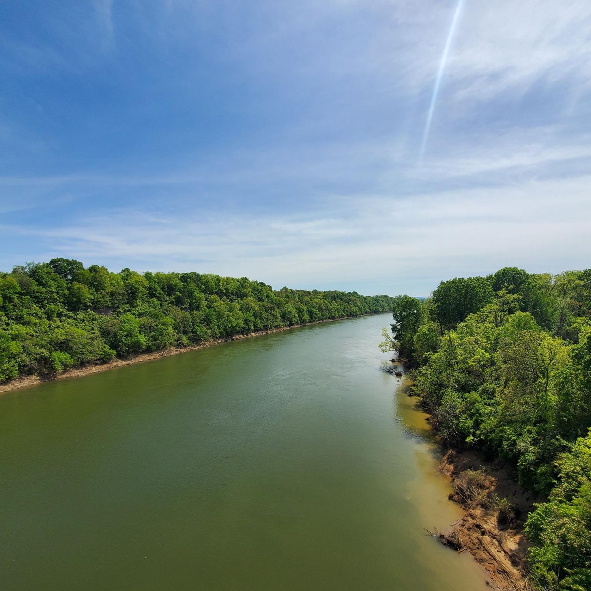
This path runs along the Red River, providing great views of the water. Benches and restrooms are located at various points along the greenway. The path is shared with cyclists and pedestrians, so be mindful of your surroundings.
0
0

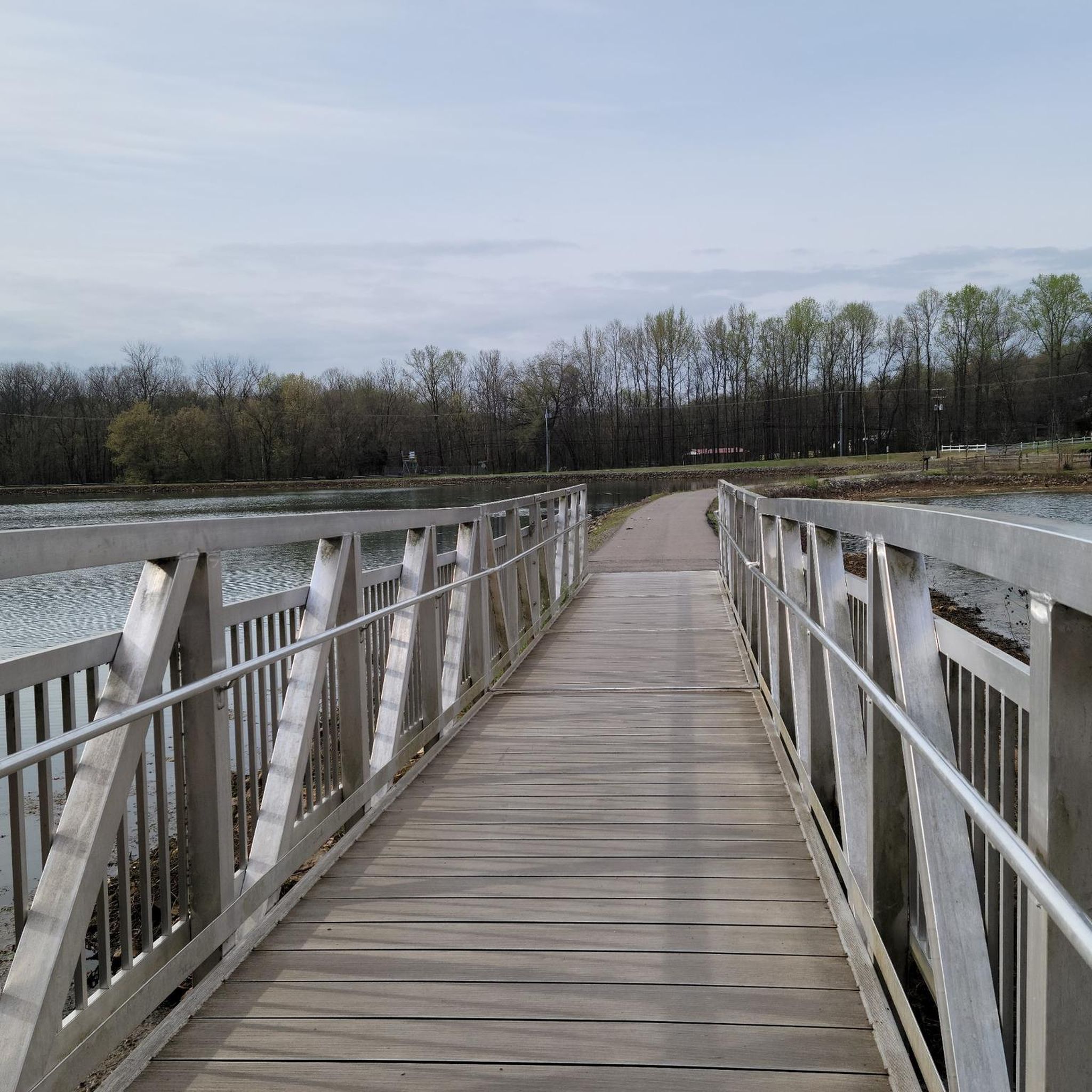
Nice foot bridge over the lake in Dunbar Cave State Park. The bridge is a popular place for photos, so make sure you are aware of others while running across the bridge.
0
0
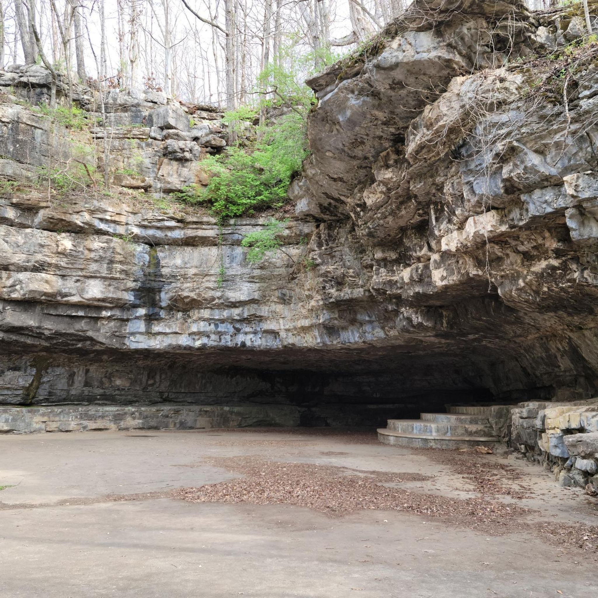
Dunbar Cave State Park is home to a cave of the same name, which is one of the biggest in the county. The park also has several miles of great trails, that wind through a beautiful forest and cross some ponds.
0
0
Dunbar Cave is one of the largest caves in Montgomery County at eight miles long. It has been used by local groups for thousands of years and is the site of prehistoric Mississippian Native American cave art dating to the 14th century.
0
0
Built on an abandoned railway, Clarksville Greenway is a 9-mile rail trail in North Clarksville. It is fully paved and is mostly flat, so it is a great place for a long run.
1
0

The trails at North Ford Street Mountain Bike Trail Park are bike-specific trails and were built with intermediate riders in mind. Some trails are narrow, rocky, rooty, and have man-made trail obstacles. There are lots of well-marked trails that will challenge almost any rider.
0
0
Frequently Asked Questions
What types of terrain can I expect on running trails in Montgomery County?
Montgomery County offers a diverse range of terrain for runners. You can find everything from flat, paved paths ideal for easy jogs to challenging hilly trails and wooded single tracks. The natural resources include streams, wetlands, woodlands, and meadows, providing varied ecological communities and scenic backdrops for your run.
Are there any easy or beginner-friendly jogging routes in Montgomery County?
Yes, Montgomery County has several easy routes suitable for beginners or those looking for a gentle run. For example, the Dunbar Cave Recovery Loop is an easy 2.5 miles (4.1 km) path that offers a gentle experience through natural surroundings. Overall, there are 6 easy routes available in the region.
How many running trails are available in Montgomery County?
There are over 30 dedicated running routes in Montgomery County, catering to various skill levels. These include 6 easy routes, 20 moderate routes, and 4 difficult routes, ensuring options for every runner.
What do other runners say about the trails in Montgomery County?
The running routes in Montgomery County are highly rated by the komoot community, with an average score of 4.0 stars. Over 300 runners have used komoot to explore the varied terrain, often praising the extensive park systems, scenic waterways, and diverse woodlands that define the area.
Are there any running routes that offer waterfront views?
Absolutely. Many trails in Montgomery County run alongside significant waterways, providing refreshing scenery. The Chesapeake & Ohio Canal Towpath offers a nearly flat path along the Potomac River, and trails around Little Seneca Lake within Black Hill Regional Park also feature beautiful water views. Seneca Creek State Park's Lakeshore Trail around Clopper Lake is another excellent option.
Where can I find shaded running routes in Montgomery County?
Extensive forested areas throughout Montgomery County provide plenty of shaded routes, offering a sense of immersion in nature. Parks like Rock Creek Regional Park, Seneca Creek State Park, and Little Bennett Regional Park feature miles of trails winding through lush woodlands, perfect for a cool run.
Are there any challenging running routes for experienced joggers?
Yes, for those seeking a more strenuous experience, Montgomery County offers challenging routes. The Clarksville Greenway is a difficult 10.9 miles (17.7 km) trail with significant elevation gain through varied terrain. Sugarloaf Mountain also provides trails with more strenuous jogging and panoramic views, such as the 5.5-mile Blue Northern Peak Trail loop.
Are there any long-distance running options in the area?
For longer runs, the Clarksville Greenway is a substantial 10.9 miles (17.7 km) route. Additionally, the C&O Canal Towpath provides a nearly flat, 184.5-mile path along the Potomac River, offering extensive mileage for long-distance training.
What are some popular paved running trails in Montgomery County?
The Capital Crescent Trail is a popular paved route extending 7 miles from Georgetown, D.C. to Bethesda. Another excellent option is the Sligo Creek Trail, a 10.2-mile paved, multi-use path that meanders alongside Sligo Creek, known for being predominantly flat and shaded.
Can I find running routes with historical significance or interesting landmarks?
Yes, some routes offer glimpses into the region's history. For instance, the Lakeshore Trail in Seneca Creek State Park passes remnants of historic mills. Little Bennett Regional Park also features over 20 miles of trails where joggers can encounter historical remnants amidst diverse habitats.
Are there any running routes that are suitable for families?
Many of the flatter, paved trails are excellent for families. The Sligo Creek Trail, being predominantly flat and shaded, is suitable for all ages and abilities. Wheaton Regional Park also features an extensive network of paved trails and offers a combination of nature and recreation, making it family-friendly.
What are some notable natural features to look out for while running in Montgomery County?
Montgomery County's natural features include unique geology, streams, wetlands, woodlands, and meadows. The spectacular Great Falls of the Potomac River, with its powerful waterfalls and rugged Mather Gorge, offers dramatic backdrops for runs. Sugarloaf Mountain provides panoramic views for those willing to tackle its slopes.
Are there any running loops that are a moderate challenge?
Yes, many routes offer a moderate challenge. The Red River loop from AT&T is a 5.7 miles (9.2 km) trail leading through varied landscapes. Other moderate options include the Running loop from Don F. Pratt Memorial Museum and the Running loop from Shaw Physical Fitness Center, both offering a good workout.

Get inspired with the komoot mobile app


Didn’t find what you were looking for?
Check out more Running Trails & Routes throughout Montgomery County below and find the perfect route in your destination.
Explore more
Browse the best Running Trails & Routes in other regions.
