The best walks and hikes around Klöntalersee
4.7
(3018)
21,129
hikers
21
hikes
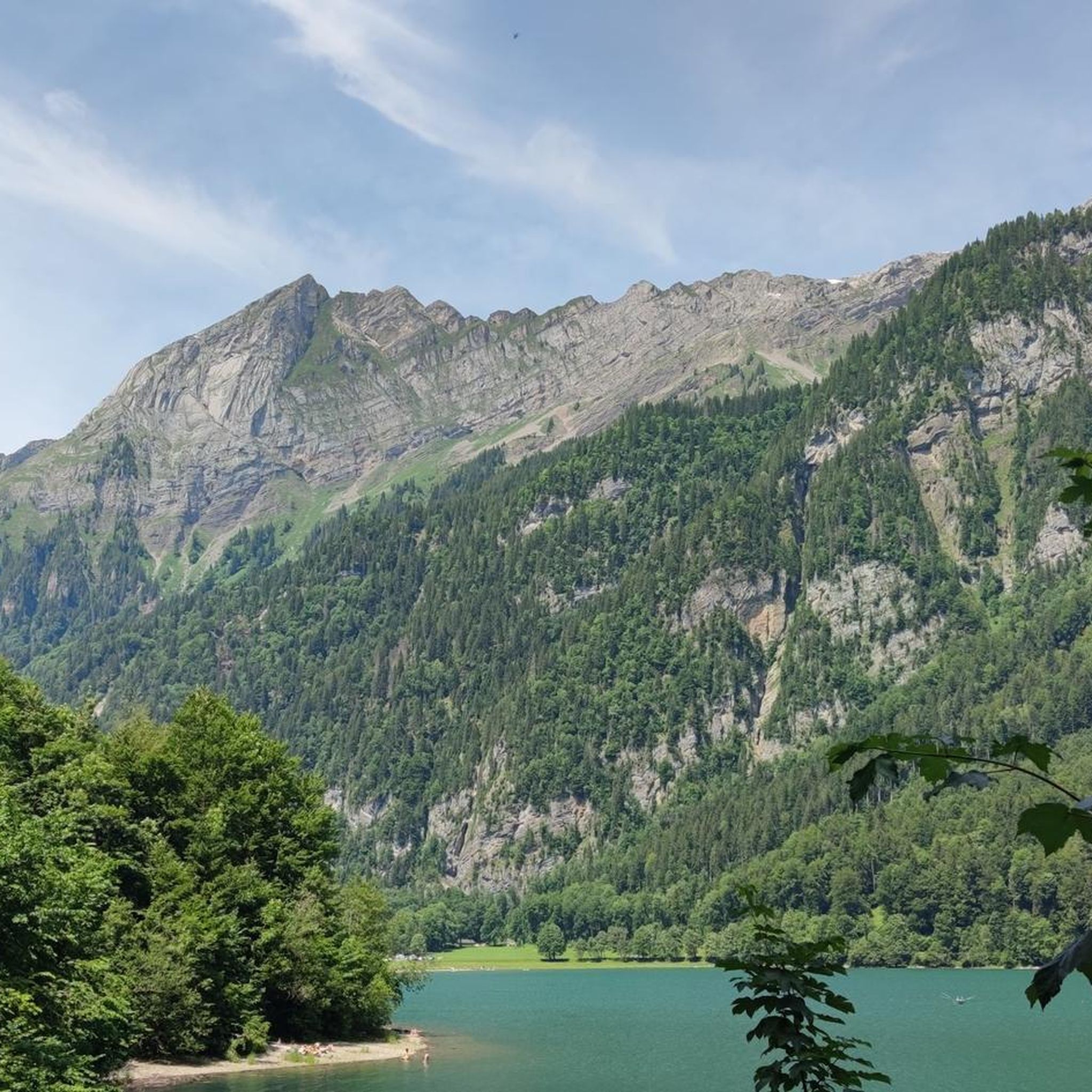
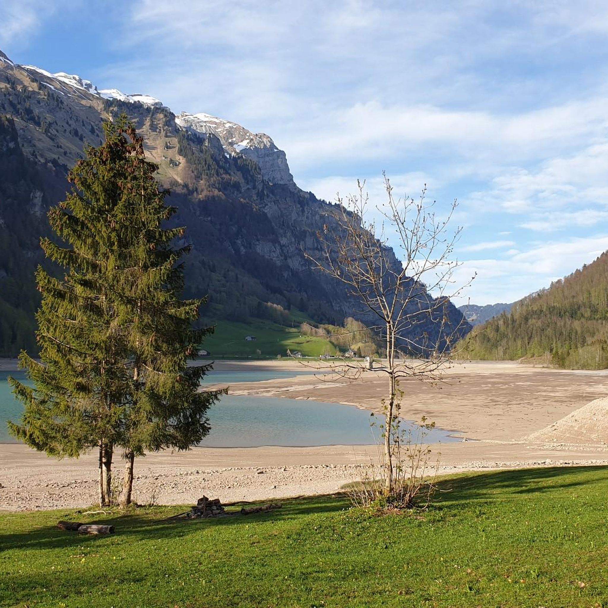
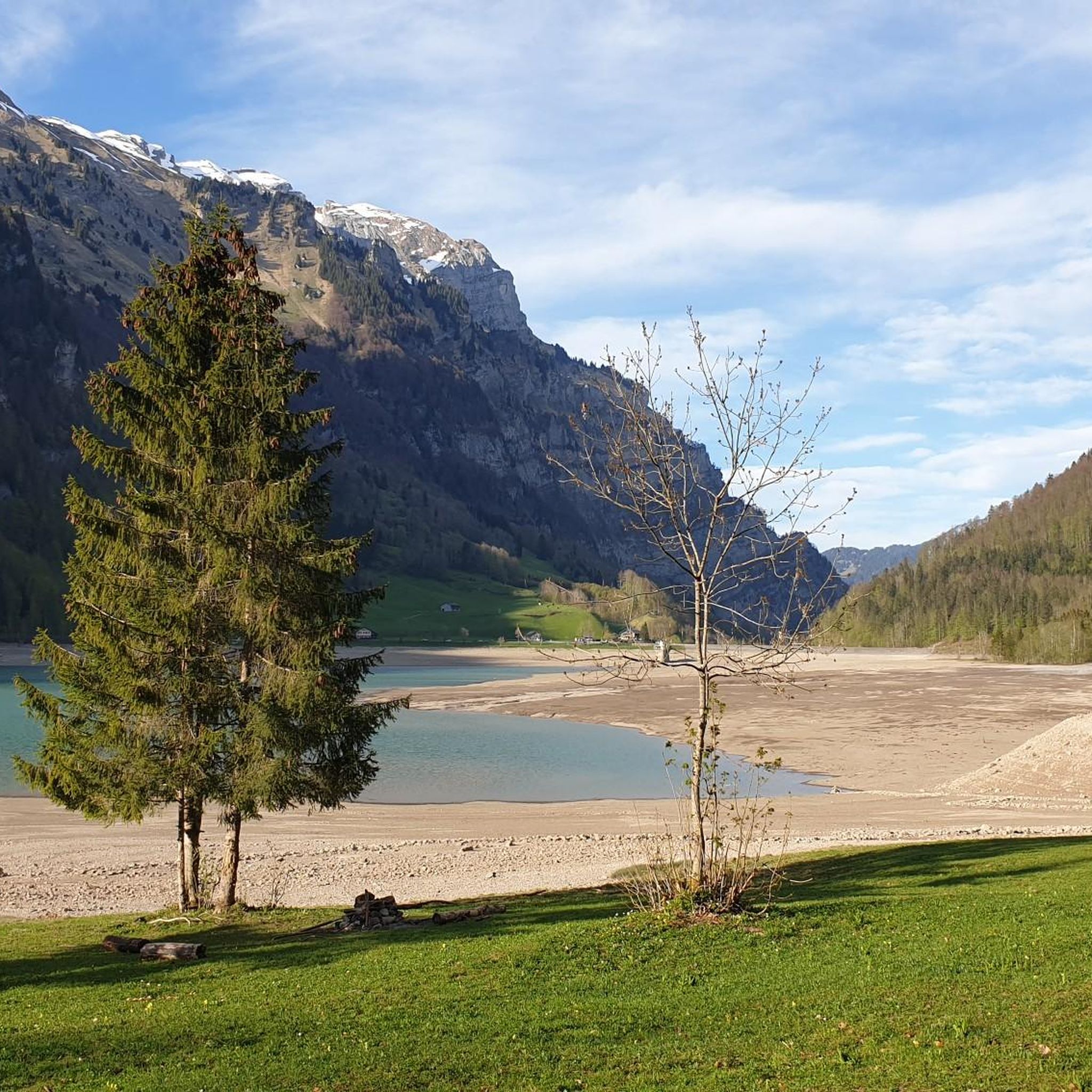
Hiking trails around Klöntalersee are set within a glacial lake valley in the Glarus Alps, characterized by emerald-green waters reflecting towering peaks and dense forests. The region features steep mountain slopes, diverse alpine flora, and numerous waterfalls, including prominent cascades. Hikers encounter varied terrain, from lakeside paths to challenging mountain ascents, with unique shell limestone formations and protected floodplains. The valley offers a tranquil setting for outdoor activities, with trails winding through forests and along the lakeshore.
Best hiking trails around Klöntalersee
- The most popular hiking route is Circular lake hike in Klöntal, a 7.9 miles (12.6 km) trail that takes 3 hours 36 minutes to complete. This moderate route offers continuous lake views and passes through forests.
- Another top favourite among local hikers is Klöntalersee – View of Lake Klöntal loop from Klöntalersee, a moderate 4.4 miles (7.0 km) path. This trail provides elevated viewpoints overlooking the lake and surrounding mountains.
- Local hikers also love the Lake Klöntal – Waterfall in Glarus loop from Klöntalersee, a 5.3 miles (8.6 km) trail leading through forested areas to a significant waterfall, often completed in about 4 hours 14 minutes.
- Hiking around Klöntalersee is defined by glacial lake shores, steep mountain slopes, and diverse alpine forests. The network offers options for different ability levels, from easy lakeside strolls to difficult mountain ascents.
- The routes in Klöntalersee are highly rated by the komoot community with an average score of 4.68 stars from over 740 reviews. More than 5300 hikers have used komoot to explore Klöntalersee's varied terrain.
Last updated: July 4, 2026
4.7
(342)
1,870
hikers
12.6km
03:36
270m
270m
Moderate hike. Good fitness required. Mostly accessible paths. Sure-footedness required.
3.9
(27)
146
hikers
12.4km
05:45
1,220m
1,220m
Hard hike. Very good fitness required. Sure-footedness, sturdy shoes and alpine experience required.

Sign up for free
4.5
(29)
193
hikers
19.7km
06:53
1,020m
1,020m
Hard hike. Very good fitness required. Easily-accessible paths. Suitable for all skill levels.
4.6
(23)
103
hikers
5.51km
01:49
240m
250m
Easy hike. Great for any fitness level. Easily-accessible paths. Suitable for all skill levels.
5.0
(4)
114
hikers
6.22km
01:54
180m
180m
Easy hike. Great for any fitness level. Easily-accessible paths. Suitable for all skill levels.
Get access to more routes and recommendations from other explorers.
Sign up for free
Already have an account?
Our route recommendations are based on thousands of hikes, rides, and runs completed by other people on komoot.
Start today with a free account
Your next adventure awaits.
Login or Signup
Popular around Klöntalersee



Tips from the Community

The view from the Schwammhöhe is even better.
0
0

A beautifully laid-out hiking trail leads around the lake. Partially closed during the winter months due to logging, rockfall, and avalanche danger. An alternative route is available via the main road. Restaurants directly on the lake also close for the winter.
0
0

Great place for a nice little walk or hike! Plus side: there is a bus at the end of the Lake that can take you back to the start of the Lake or down to Glarus too
1
0

Beautiful view and trail in very good condition
1
0

A very beautiful lake, although it had very little water when I visited in May 2025. However, you could walk along the water below.
0
0

Always good when there are opportunities to replenish water reserves
0
0
Stop again and again and enjoy the incredibly beautiful landscape
0
0
TuS h and benches are ready and there is a brilliant view
0
0
Frequently Asked Questions
How many hiking trails are there around Klöntalersee?
Klöntalersee offers a diverse network of hiking trails. Our guide features 21 routes, ranging from easy strolls to challenging mountain ascents. The wider region boasts over 370 hiking opportunities, with more than 110 considered easy, ensuring options for all skill levels.
Are there any circular hiking routes around Klöntalersee?
Yes, circular routes are a popular way to experience the lake's beauty. A great option is the Circular lake hike in Klöntal, a moderate 12.6 km trail that offers continuous lake views and passes through forests. The entire lake can be circumnavigated, taking around four hours, though the north side includes a busy pass road.
What kind of natural landmarks or viewpoints can I expect to see?
The Klöntalersee region is rich in natural beauty. You'll encounter the stunning emerald-green waters of Klöntalersee itself, framed by the towering Glarus Alps. Don't miss the dramatic Waterfall at Lake Klöntal, where water plunges down a mighty rock face. For panoramic vistas, consider the Klöntalersee – View of Lake Klöntal loop from Klöntalersee, which provides elevated viewpoints overlooking the lake and surrounding mountains, or the Cliffs at Bärentritt – View of Lake Klöntal.
Are there any family-friendly hiking options?
Absolutely. While many trails offer varied terrain, there are easier paths suitable for families. The lakeside trails, particularly along the south bank, are generally less strenuous and offer numerous scenic highlights and bathing spots. These paths are often forested, providing a pleasant experience for all ages.
Can I bring my dog on the hiking trails?
Yes, many trails around Klöntalersee are dog-friendly. It's generally recommended to keep dogs on a leash, especially in areas with wildlife or near livestock. Always ensure you carry enough water for your pet and clean up after them to preserve the natural environment for everyone.
What is the best time of year to go hiking in Klöntalersee?
The best time for hiking is typically from spring to autumn. During these seasons, the weather is milder, and the trails are clear. Spring brings lush greenery and blooming alpine flora, while autumn offers spectacular colorful foliage. In winter, the area transforms into a tranquil snow-covered landscape, suitable for snowshoeing, though some trails may be inaccessible.
Are there opportunities for swimming or other water activities?
Yes, the clear waters of Klöntalersee invite activities like swimming, kayaking, and paddleboarding during warmer months. While the water can be cold due to its glacial origin, there are designated bathing spots and lakeside campgrounds at Güntlenau and Vorauen where you can relax and enjoy the lake.
What do other hikers enjoy most about hiking in Klöntalersee?
The area is highly rated by the komoot community, with an average score of 4.7 stars from over 2,700 reviews. Hikers consistently praise the stunning emerald-green lake, the dramatic alpine backdrop of the Glarus Alps, and the diverse trails that cater to various fitness levels. The tranquil setting and picturesque views are frequently highlighted as major draws.
Are there any challenging mountain hikes for experienced trekkers?
For those seeking more strenuous activities, trails venture into the surrounding hills, offering challenging ascents and impressive views. Routes like the Lake Klöntal – Waterfall in Glarus loop from Klöntalersee involve significant elevation gain. More demanding paths lead towards areas like the Glärnischhütte SAC or the Silberen, known for their unique karst fields and alpine sections.
Is there public transport or parking available at Klöntalersee?
Klöntalersee is accessible by public transport, with bus connections available to the valley. For those driving, parking facilities are available around the lake, particularly near popular starting points for hikes and at the campgrounds like Güntlenau and Vorauen. It's advisable to arrive early during peak season to secure a spot.
Are there places to eat or stay overnight near the trails?
Yes, there are options for refreshments and accommodation. You'll find lakeside restaurants and cafes, particularly around the main access points. For overnight stays, there are campgrounds at Güntlenau and Vorauen, offering a chance to fully immerse yourself in the natural surroundings. More traditional accommodation can be found in nearby villages.
Most popular routes around Klöntalersee
Most popular attractions around Klöntalersee

Get inspired with the komoot mobile app


Explore more
Browse the best Hikes in other regions.
