The best mountain hikes around Klöntalersee
4.9
(83)
720
hikers
32
hikes
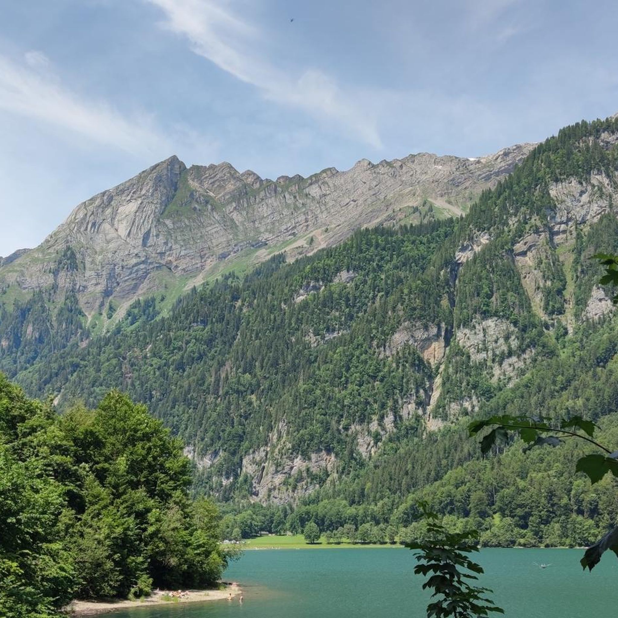
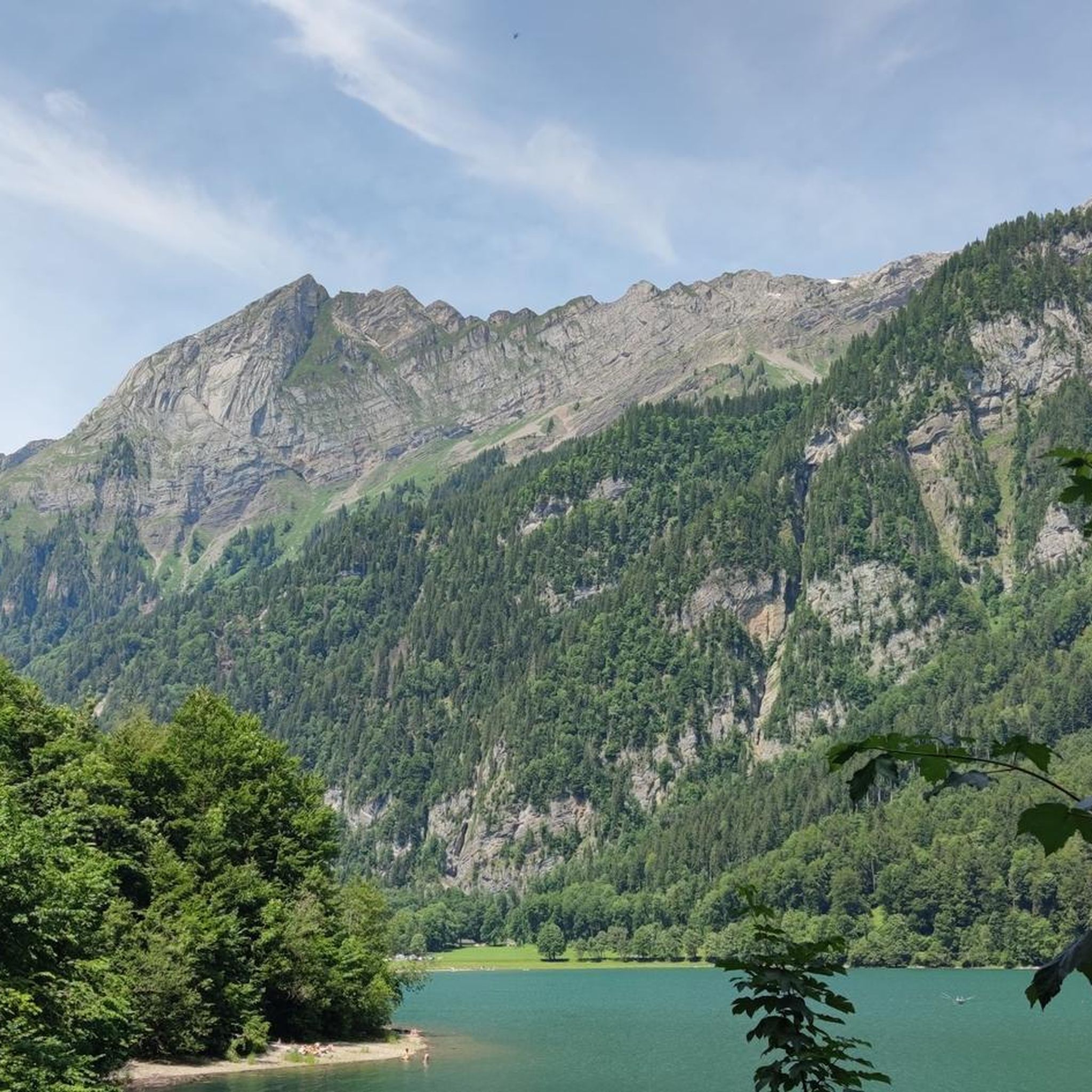
Mountaineering routes around Klöntalersee are set within the Glarus Alps, characterized by rugged peaks, deep glacial valleys, and dense forests surrounding the alpine lake. The region offers a diverse landscape for mountaineers, from challenging ascents to high-alpine traverses. This area, part of the Swiss Alps, features prominent rock formations and varied terrain suitable for experienced climbers.
Best mountaineering routes around Klöntalersee
- The most popular mountaineering route is Cave Near Glarus – Vorder Glärnisch loop from Hinter Saggberg, a 6.0 miles (9.6 km) trail that takes 7 hours 17 minutes to complete. This difficult route offers views towards Vorder Glärnisch and explores the rugged terrain near Glarus.
- Another top favourite among local mountaineers is Key Section (Schwyz) – Silberen Summit loop from Richisau, a difficult 12.7 miles (20.5 km) path. This route traverses high alpine landscapes, including the Silberen Summit, known for its karst formations and panoramic views.
- Local mountaineers also love the Mutteristock Summit – Redertenstock loop from Au, a 9.0 miles (14.5 km) trail leading through high mountain passes and rocky ridges, often completed in about 7 hours 51 minutes.
- Mountaineering around Klöntalersee is defined by alpine peaks, forested slopes, and glacial valleys. The network offers options for various ability levels, from easier paths to challenging high-alpine ascents.
- The routes in Klöntalersee are highly rated by the komoot community with an average score of 4.8 stars from over 80 reviews. Nearly 800 mountaineers have used komoot to explore Klöntalersee's varied terrain.
Last updated: July 7, 2026
5.0
(5)
39
hikers
9.64km
07:18
1,200m
1,200m
Hard mountaineering route. Very good fitness required. Sure-footedness, sturdy shoes and alpine experience required.
24
hikers
20.5km
07:23
1,210m
1,210m
Hard mountaineering route. Very good fitness required. Mostly accessible paths. Sure-footedness required.

Sign up for free
5.0
(2)
35
hikers
14.0km
07:42
1,310m
1,310m
Hard mountaineering route. Very good fitness required. Sure-footedness, sturdy shoes and alpine experience required.
4.7
(3)
36
hikers
13.8km
07:09
1,240m
1,240m
Hard mountaineering route. Very good fitness required. Sure-footedness, sturdy shoes and alpine experience required.
5.0
(3)
21
hikers
9.83km
06:05
1,110m
1,110m
Hard mountaineering route. Very good fitness required. Sure-footedness, sturdy shoes and alpine experience required.
Get access to more routes and recommendations from other explorers.
Sign up for free
Already have an account?
Our route recommendations are based on thousands of hikes, rides, and runs completed by other people on komoot.
Start today with a free account
Your next adventure awaits.
Login or Signup



Tips from the Community


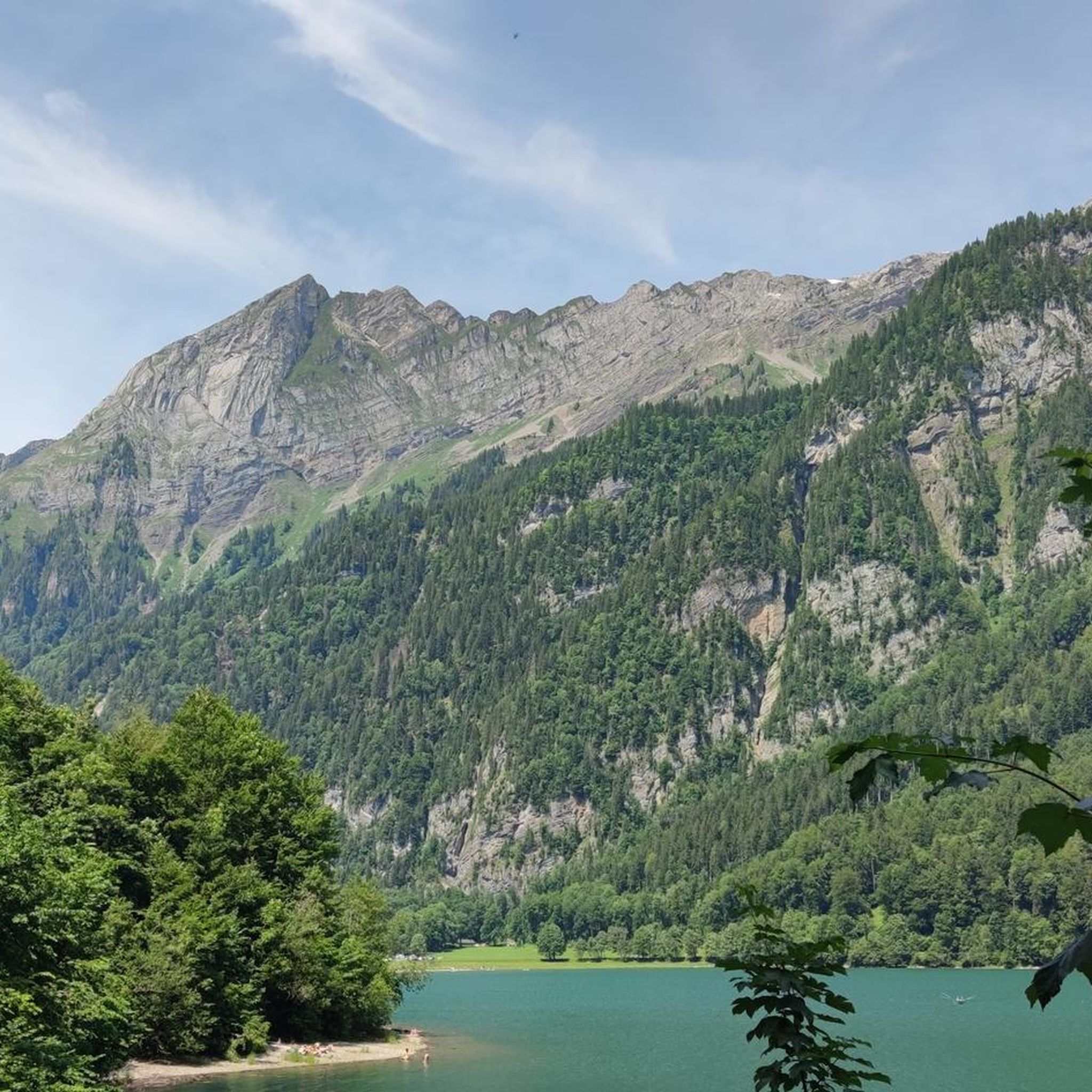
fantastically beautiful here, wonderful
2
0
fantastically beautiful here, wonderful
1
0
fantastically beautiful here, wonderful
2
0
fantastically beautiful here, wonderful
2
0

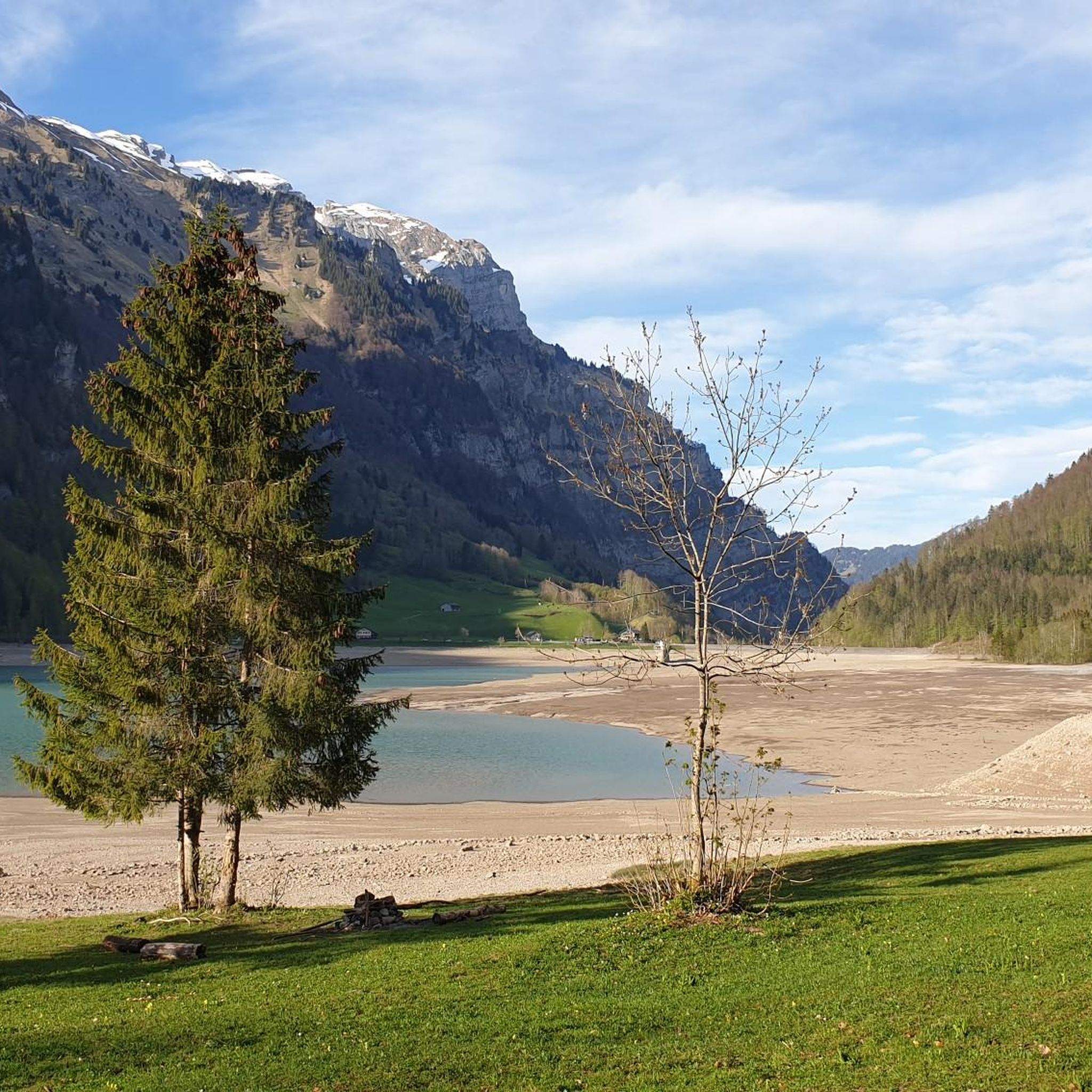
Beautiful lake, with a nice gravel path on the east bank, right along the shore.
0
0
Frequently Asked Questions
What is the general difficulty level of mountaineering routes around Klöntalersee?
The mountaineering routes around Klöntalersee are predominantly challenging. Out of 33 available routes, 30 are classified as difficult, with 2 moderate and 1 easy option. This region, part of the Glarus Alps, is known for its rugged peaks and high-alpine traverses, making it suitable for experienced mountaineers.
Are there any easier mountaineering routes suitable for beginners or families?
While most routes are challenging, there is one easy mountaineering route available around Klöntalersee. For those seeking a less strenuous experience, it's advisable to check the specific tour details on komoot to ensure it matches your skill level and preferences. The region's terrain is generally demanding, so even 'easy' routes may require a good level of fitness.
What kind of natural attractions can I expect to see along the mountaineering routes?
The routes offer stunning views of the Glarus Alps and the picturesque Klöntalersee itself. You can discover highlights such as the Klöntalersee, the impressive Waterfall at Lake Klöntal, and the dramatic Cliffs at Bärentritt – View of Lake Klöntal. These natural landmarks provide breathtaking scenery throughout your mountaineering adventure.
When is the best time of year to go mountaineering in the Klöntalersee region?
The prime season for mountaineering around Klöntalersee is typically from late spring to early autumn (June to September). During these months, the weather is generally more stable, and trails are free of snow at lower to mid-altitudes. Always check local weather forecasts and trail conditions before heading out, especially for higher alpine routes.
Are there any circular mountaineering routes around Klöntalersee?
Yes, several routes offer a circular experience. For example, the challenging Mutteristock Summit – Redertenstock loop from Au takes you through high mountain passes and rocky ridges. Another option is the Obersee (Glarus) loop from Rautispitz, which provides a comprehensive tour of the area's alpine landscapes.
How many mountaineering routes are available in the Klöntalersee area?
There are over 30 mountaineering routes available around Klöntalersee, offering a wide range of experiences, primarily for those seeking challenging alpine adventures. The komoot community has explored 33 distinct routes in this region.
What do other mountaineers enjoy most about the Klöntalersee routes?
The mountaineering routes in Klöntalersee are highly rated by the komoot community, with an average score of 4.8 stars from over 80 reviews. Reviewers often praise the stunning panoramic views, the challenging yet rewarding terrain, and the sense of wildness and solitude found in the Glarus Alps.
Can I reach the mountaineering trails around Klöntalersee using public transport?
Access to the Klöntalersee region by public transport is possible, though some trailheads might require a combination of bus services and a short walk. Buses typically run from Glarus to Klöntal. It's recommended to check the local bus schedules (e.g., PostAuto) in advance, especially for routes starting in more remote areas like Richisau or Au.
Are there any specific challenging routes for advanced mountaineers?
Absolutely. For advanced mountaineers, the Key Section (Schwyz) – Silberen Summit loop from Richisau is a difficult 20.5 km path traversing high alpine landscapes, including the Silberen Summit known for its karst formations. Another demanding option is the Cave Near Glarus – Vorder Glärnisch loop from Hinter Saggberg, offering rugged terrain and views towards Vorder Glärnisch.
Is it possible to go wild swimming in Klöntalersee after a mountaineering tour?
Yes, Klöntalersee is a popular spot for swimming. After a strenuous mountaineering tour, you can cool off in the lake. There are various access points, including the Lakeside meadow at Klöntalersee, which offers a pleasant spot to relax and swim. Always be mindful of water temperatures, which can be cold even in summer.
What should I know about parking for mountaineering trails in Klöntalersee?
Parking is generally available at various points around Klöntalersee, particularly near popular starting points like Richisau, Au, or Hinter Saggberg. However, spaces can be limited, especially during peak season. It's advisable to arrive early, and some parking areas may require a fee. Always park responsibly and adhere to local regulations.
Are there any hidden gem mountaineering routes in the Klöntalersee area?
While many routes are well-known, the Ridge Trail to Turner – Fluebrig Ridge Hike loop from Au offers a less frequented, yet equally rewarding, experience. This difficult route provides stunning ridge walks and panoramic views away from the most popular spots, allowing for a more secluded adventure.
Most popular routes around Klöntalersee
Most popular attractions around Klöntalersee

Get inspired with the komoot mobile app


Explore more
Browse the best Mountain Hikes & Routes in other regions.
