The best walks and hikes around Embassament de Sallente
4.8
(437)
3,937
hikers
59
hikes
Hiking trails around Embassament de Sallente are situated within a high-mountain environment, characterized by alpine lakes, rugged peaks, and the natural beauty of the Parque Nacional de Aigüestortes i Estany de Sant Maurici. The area surrounding Embassament de Sallente features varied terrain, including rocky paths, forested sections, and open mountain passes. Hikers can expect significant elevation changes and panoramic views of the Pyrenean landscape.
Best hiking trails around Embassament de Sallente
- The most popular hiking route is Lago Gento via the Canal de Pigolo — Aigüestortes i Estany de Sant Maurici National Park, a 5.1 miles (8.1 km) moderate trail that takes about 2 hours 45 minutes to complete, offering views of the lake and surrounding peaks.
- Another top favourite among local hikers is Pic Dellui and Pic Mariolo from Estany Gento, a difficult 11.9 miles (19.2 km) path. This route involves substantial ascent to high alpine peaks, providing expansive mountain vistas.
- Local hikers also love the Estany Tort – Colomina Refuge loop from Estany Gento, a 10.7 miles (17.2 km) trail leading through high mountain terrain and past alpine lakes, often completed in about 6 hours 20 minutes.
- Hiking around Embassament de Sallente is defined by alpine lakes, challenging mountain passes, and high peaks within a national park setting. The network offers options for moderate to difficult ability levels.
- The routes in Embassament de Sallente are highly rated by the komoot community with an average score of 4.8 stars from over 350 reviews. More than 3000 hikers have used komoot to explore Embassament de Sallente's varied terrain.
Last updated: June 25, 2026
4.8
(11)
113
hikers
Moderate hike. Good fitness required. Easily-accessible paths. Suitable for all skill levels.
5.0
(1)
7
hikers
Hard hike. Very good fitness required. Sure-footedness, sturdy shoes and alpine experience required.

Sign up for free
25
hikers
23.5km
09:49
1,420m
1,420m
Hard hike. Very good fitness required. Sure-footedness, sturdy shoes and alpine experience required.
5.0
(1)
17
hikers
13.0km
06:20
1,130m
1,130m
Hard hike. Very good fitness required. Mostly accessible paths. Sure-footedness required.
5.0
(1)
16
hikers
16.6km
07:21
1,180m
1,180m
Hard hike. Very good fitness required. Mostly accessible paths. Sure-footedness required.
Get access to more routes and recommendations from other explorers.
Sign up for free
Already have an account?
Our route recommendations are based on thousands of hikes, rides, and runs completed by other people on komoot.
Start today with a free account
Your next adventure awaits.
Login or Signup

Tips from the Community

A legendary mountain pass that separates the High Pyrenees Natural Park from the Aigüestortes and Lake of Saint-Maurice National Park. It can be climbed from both valleys.
0
0

The Colomina refuge is located at an altitude of 2,425 metres, at the head of the Vall Fosca, next to the lake of the same name. It has 40 places to stay overnight, hot showers and food service, always subject to reservation.
0
0

Attention! This cable car is not suitable for people with walking difficulties as there are about 80 steep steps to climb!
0
0

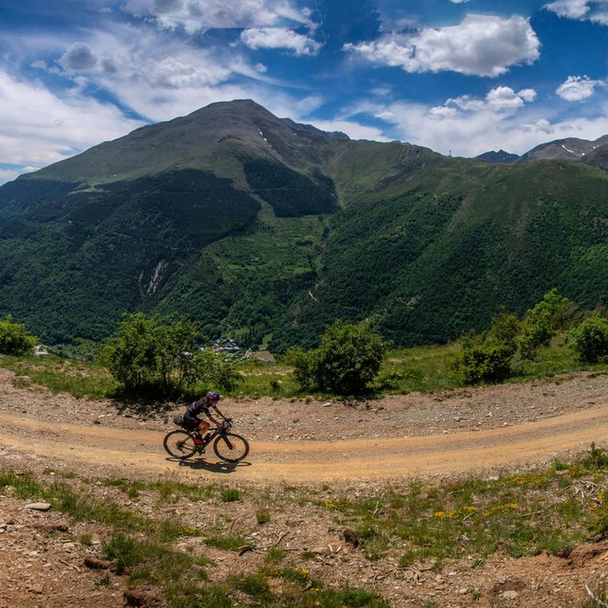
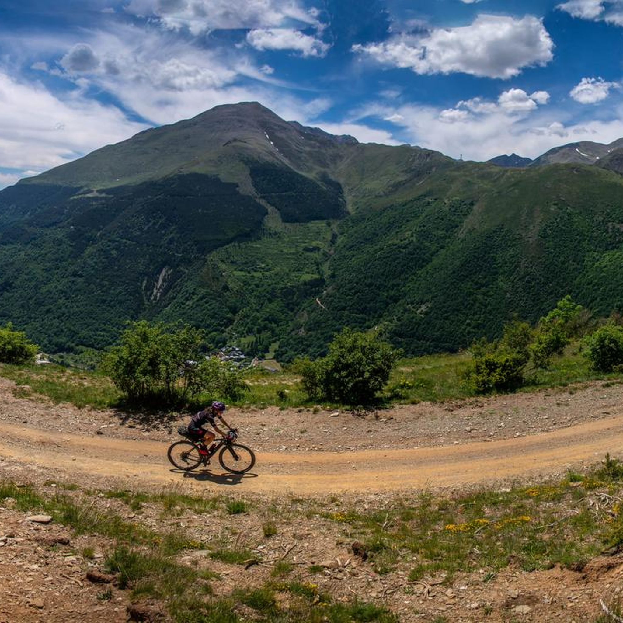
The arrival from Llavorsí is amazing, long but beautiful; the descent to Espiu is almost 30 turns and is even more beautiful than being at the top. I don't want to think about what it must be like to go up there, in some areas the road surface is somewhat broken.
0
1

Exceptional views over the endless mountain ranges of the high Pyrenees
0
0

The path is rocky but can be done well. The color of the water is impressive and it is worth stopping for a moment and contemplating the wonderful landscape.
1
0
A lake of glacial origin that is located at an altitude of 2,429 meters. It is the largest and deepest in the Val d'Aran.
1
0
A lake of glacial origin that is located at an altitude of 2,351 m at the head of the Vall Fosca.
1
0
Frequently Asked Questions
What types of hiking trails can I find around Embassament de Sallente?
The area offers a variety of trails, predominantly moderate to difficult, set within a high-mountain environment. You'll find paths leading through rugged peaks, past alpine lakes, and across open mountain passes. There are 11 hiking routes in total, with 4 rated as moderate and 7 as difficult.
Are there any easy hiking trails suitable for beginners?
While the region is known for its challenging high-mountain terrain, some routes are more accessible. For a moderate option, consider the Lago Gento via the Canal de Pigolo, which is 5.1 miles (8.1 km) long and takes about 2 hours 45 minutes to complete.
Can I find circular hiking routes in the Embassament de Sallente area?
Yes, there are several circular routes available. A notable one is the Estany Tort – Colomina Refuge loop from Estany Gento, a difficult 10.7-mile (17.2 km) trail that typically takes around 6 hours 20 minutes to complete.
What is the best time of year to go hiking in Embassament de Sallente?
Due to its high-mountain setting, the best time for hiking is generally from late spring to early autumn (June to September) when trails are clear of snow and weather conditions are more stable. Always check local forecasts before heading out.
Are dogs allowed on the hiking trails around Embassament de Sallente?
Embassament de Sallente is located within the Parque Nacional de Aigüestortes i Estany de Sant Maurici. While dogs are generally allowed on trails, they must be kept on a leash at all times to protect wildlife and ensure the safety of other hikers. Always check specific park regulations before your visit.
Are there any challenging routes for experienced hikers?
Absolutely. The region is well-suited for experienced hikers seeking a challenge. For instance, the Pic Dellui and Pic Mariolo from Estany Gento is a difficult 11.9-mile (19.2 km) route involving substantial ascent to high alpine peaks.
Is there parking available near the trailheads?
Access to the Embassament de Sallente area typically involves parking at designated areas, often near the cable car station that provides access to Estany Gento, the starting point for many trails. Parking availability can vary, especially during peak season, so arriving early is advisable.
Can I reach the hiking trails using public transport?
Public transport options to this high-mountain region are limited. While there might be seasonal bus services to nearby towns, reaching the specific trailheads around Embassament de Sallente often requires private transport or a combination of public transport and local taxi services. It's best to research specific routes and schedules in advance.
Are there opportunities for wild swimming in the area?
The region is dotted with numerous alpine lakes, such as Estany Gento and Estany Tort. While the water is often very cold, some hikers enjoy a refreshing dip. Always be mindful of environmental regulations within the national park and prioritize safety, as these are natural, unsupervised bodies of water.
What do other hikers say about the trails in Embassament de Sallente?
The routes in Embassament de Sallente are highly rated by the komoot community, with an average score of 4.8 stars from over 350 reviews. Reviewers often praise the stunning panoramic views, the pristine alpine lakes, and the challenging yet rewarding nature of the high-mountain trails.
Are there any multi-day hiking options or refuges in the area?
Yes, the area is part of a larger network of trails, including sections of multi-day treks like the Carros de Foc. Refuges such as Colomina Refuge are available for overnight stays, allowing for longer explorations. An example of a challenging multi-day section is the Monestero Pass – Colomina Refuge loop from Estany Gento.
What kind of scenery can I expect on the hikes?
Hikers can expect breathtaking Pyrenean landscapes, characterized by dramatic rocky peaks, crystal-clear alpine lakes, and occasional forested sections. The trails offer expansive vistas of the national park, showcasing its rugged beauty and diverse high-altitude flora.
Most popular routes around Embassament de Sallente

Get inspired with the komoot mobile app


Explore more
Browse the best Hikes in other regions.
