The best walks and hikes around Loch na h-Oidhche
4.7
(193)
1,825
hikers
13
hikes
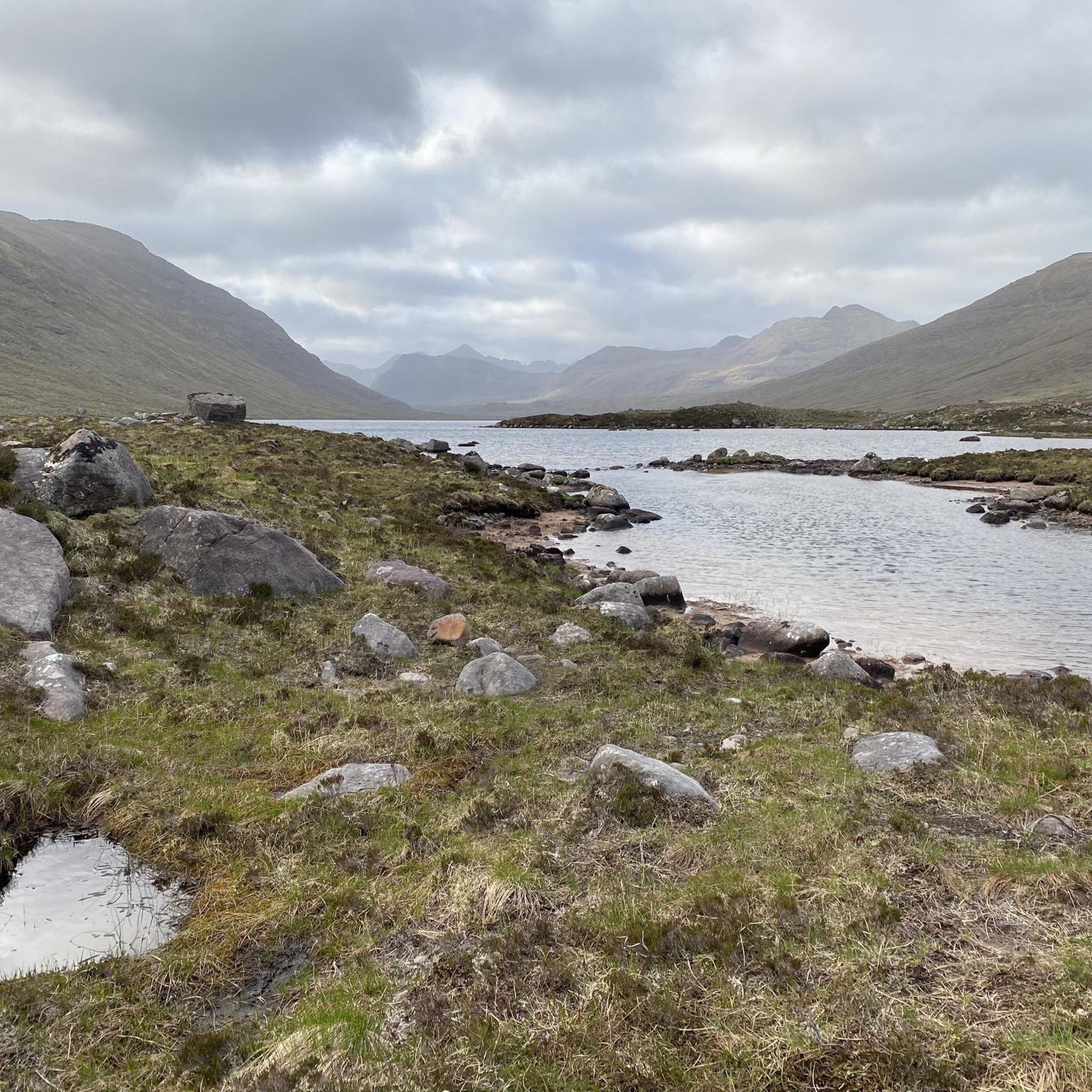
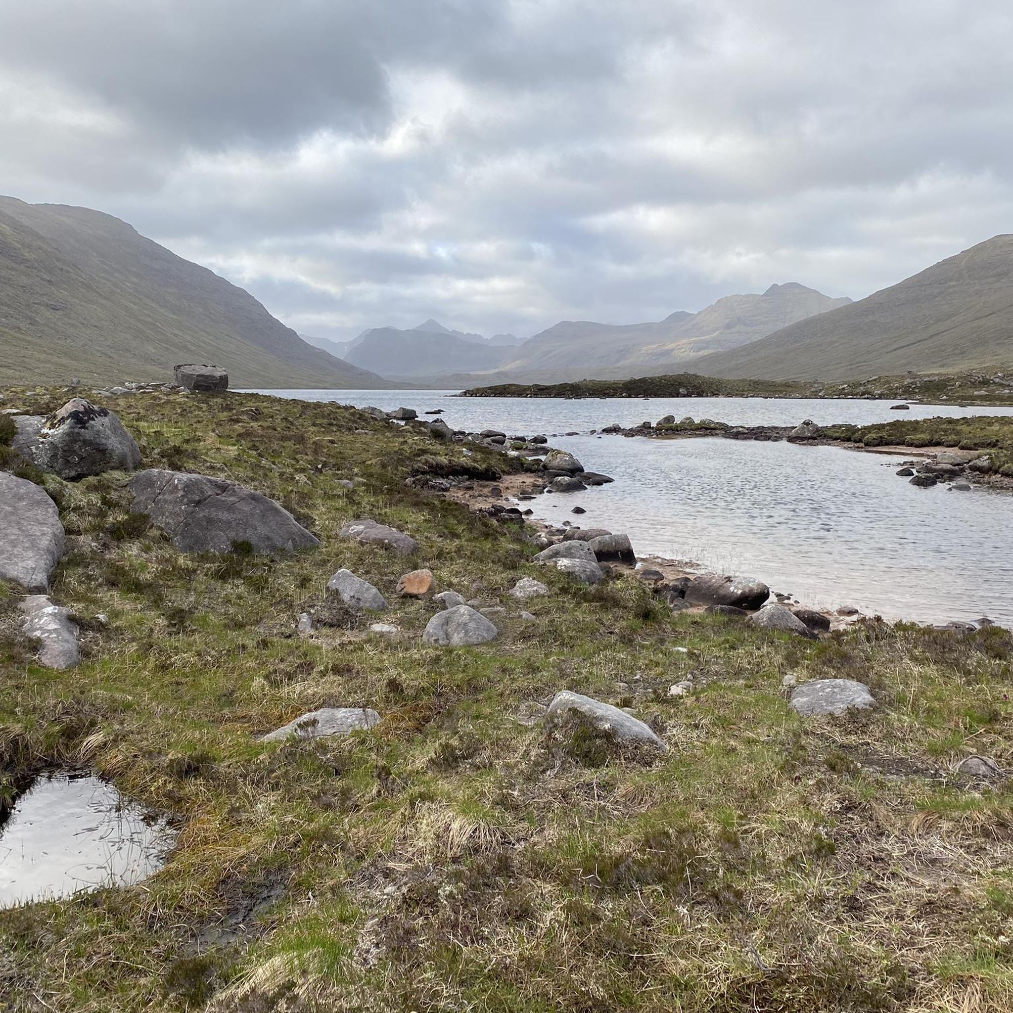
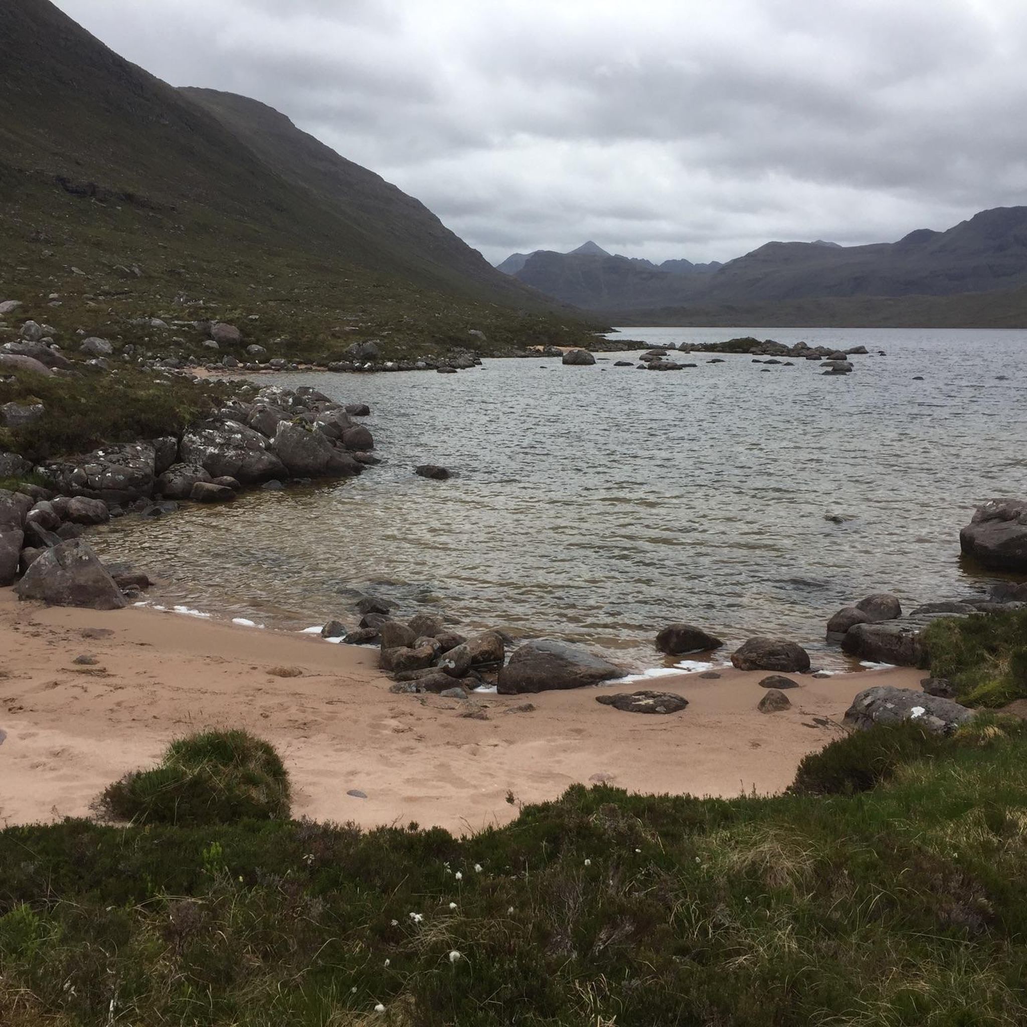
Hikes around Loch na h-Oidhche are set in a remote area of the Scottish Highlands, situated between Loch Torridon and Loch Maree. The landscape is characterized by open moorland, freshwater lochs, and stony tracks that lead into the Flowerdale Forest. The region provides access to trails with significant elevation, offering views of prominent mountains such as Slioch and Beinn Eighe.
Best hiking trails around Loch na h-Oidhche
- The most popular hiking route is the Bad na Sgalag Native Pinewood –…
Last updated: July 9, 2026
4.2
(14)
47
hikers
4.06km
01:07
70m
70m
Easy hike. Great for any fitness level. Easily-accessible paths. Suitable for all skill levels.
5.0
(47)
585
hikers
10.7km
06:05
1,020m
1,020m
Hard hike. Very good fitness required. Sure-footedness, sturdy shoes and alpine experience required.

Sign up for free
4.5
(43)
168
hikers
Moderate hike. Good fitness required. Mostly accessible paths. Sure-footedness required.
4.8
(11)
134
hikers
6.52km
04:23
850m
850m
Moderate hike. Good fitness required. Mostly accessible paths. Sure-footedness required.
5.0
(3)
60
hikers
10.00km
06:12
1,150m
1,150m
Hard hike. Very good fitness required. Mostly accessible paths. Sure-footedness required.
Get access to more routes and recommendations from other explorers.
Sign up for free
Already have an account?
Our route recommendations are based on thousands of hikes, rides, and runs completed by other people on komoot.
Start today with a free account
Your next adventure awaits.
Login or Signup
Popular around Loch na h-Oidhche
Tips from the Community

Second part very muddy and poorly marked. Bridges not well maintained
0
0

Take a moment to look back at the sheer drama and spectacle of the east face.
0
0
The Horns of Alligin are the mountain's finest features.
0
0
The first of the two munros on Beinn Alligin, with a huge cliff on its eastern side. Amazing views.
0
0
The views from this point are sensational, some of the best in Scotland.
0
0
A wonderful hill that will reward in all weathers - but you do get the best views if the weather is good! Personally I have found the clockwise circuit better, but in either direction care is needed over the Horns.
2
0
I've climbed Beinn Alligin 4 times and as is mentioned above by To, the better way is clockwise, not anticlockwise as shown in the route planner. This gives a steady climb up to Tom na Gruagaich, but care is needed in mist as there is a sudden and very big drop at the summit. There follows a steady ridge walk to the main summit Sgurr Mor, then drop down to the beginning of the 'Horns' There is scrambling involved, but this is the finest part of the route. The drop down to the valley from the third horn is steep and requires care, but the way is obvious. Once back at valley floor level the walk out is pleasant amongst fine mountain scenery.
2
0

Eag Dhubh or more strictly Eag Dhubh na h-Eigheachd is the very prominent cleft seen in the otherwise largely unbroken south face of Sgùrr Mòr, the higher of the two Munro summits of Beinn Alligin in Glen Torridon. Most of this cleft lies in shaow for much of the day. It is usually seen from just west of the summit of Sgùrr Mòr either while approaching or leaving the summit. From below it is best viewed from about 2km up the Coire Mhic Nòbuill path leading behing Liathach or towards the Horns of Alligin and Beinn Dearg. There is no route down this cleft to the corrie below.
1
0
Frequently Asked Questions
Are there any good circular walks around Loch na h-Oidhche?
Yes, the area offers several loop trails. For a moderate option that takes you through varied scenery including pinewoods and lochside paths, consider the Meall a' Ghlas Leothaid & Loch Bad an Sgalaig loop. It provides a great sense of the local landscape without the commitment of a full mountain ascent.
What are the trails like for beginners or families?
The region has a number of accessible trails suitable for most skill levels. While many routes involve some ascent on stony tracks, there are shorter, gentler options available. The area around Gairloch, in particular, provides easier walks with rewarding views of the surrounding lochs and mountains.
Can I bring my dog on hikes around Loch na h-Oidhche?
Yes, dogs are generally welcome on the trails. However, this is a wilderness area with active crofting and sensitive wildlife. You should keep your dog under close control, especially during bird nesting season (spring and early summer) and around livestock like sheep.
How do I get to the trailheads by public transport?
Accessing the trailheads directly via public transport is challenging due to the region's remoteness. Bus services may run to larger villages like Gairloch or Torridon, but you will likely need to arrange a taxi or walk a considerable distance from the bus stop to the start of most hikes.
Is there parking available for hikers?
Parking is typically available in designated lay-bys or small car parks near the main trailheads, such as along the A832. These spots can fill up quickly, especially on weekends and during peak season, so arriving early is recommended. Always park considerately and do not block access gates.
What should I pack for a day hike in this area?
The weather in the Scottish Highlands can change rapidly. Essential items include waterproof and windproof clothing, sturdy hiking boots, extra layers, and a map and compass (or a fully charged phone with offline maps). Also pack plenty of water and food, as there are no shops or cafes on the trails.
Are there any challenging mountain hikes for experienced hillwalkers?
Yes, the area is a gateway to some of Scotland's most formidable mountains. For a demanding day with significant elevation gain and scrambling, the Hiking loop from Allt a' Bhealaich offers a serious challenge with incredible rewards. These routes require excellent navigation skills and fitness.
What are some of the main mountains I can see from the trails?
The hikes around Loch na h-Oidhche offer spectacular panoramas of iconic Torridonian mountains. You will be rewarded with views of the towering Slioch, the formidable ridges of Beinn Eighe, and the distinctive outline of Baosbheinn. These peaks create a dramatic and memorable backdrop for any walk.
Are there any notable natural features to look out for?
The landscape is full of interest. A particularly unusual feature is the Abhainn Loch na h-Oidhche, a river that splits, with its waters flowing towards both Loch Gairloch and Loch Maree. For a truly stunning viewpoint, the trail into Coire Mhic Fhearchair on Beinn Eighe reveals a breathtaking mountain corrie with a lochan, considered one of the finest in Scotland.
Is wild camping permitted near Loch na h-Oidhche?
In line with the Scottish Outdoor Access Code, wild camping is generally permitted, provided you follow the 'leave no trace' principles. A bothy located along the loch also offers simple, free shelter for hikers on a first-come, first-served basis. Be sure to pack out everything you bring in.
What do other hikers say about the trails around Loch na h-Oidhche?
The area is highly rated by the komoot community, with an average score of 4.6 stars. Reviewers frequently praise the profound sense of remoteness, the raw, untouched beauty of the landscape, and the spectacular views of the surrounding Torridon mountains.
How many hiking trails are there in the Loch na h-Oidhche area?
There are over a dozen curated hiking routes available around Loch na h-Oidhche, ranging from easy loch-side walks to difficult mountain ascents. The network of paths and tracks provides options for various fitness levels and time commitments.

Get inspired with the komoot mobile app


Explore more
Browse the best Hikes in other regions.
