The best cycling routes around Loch na h-Oidhche
4.5
(9)
200
riders
2
rides
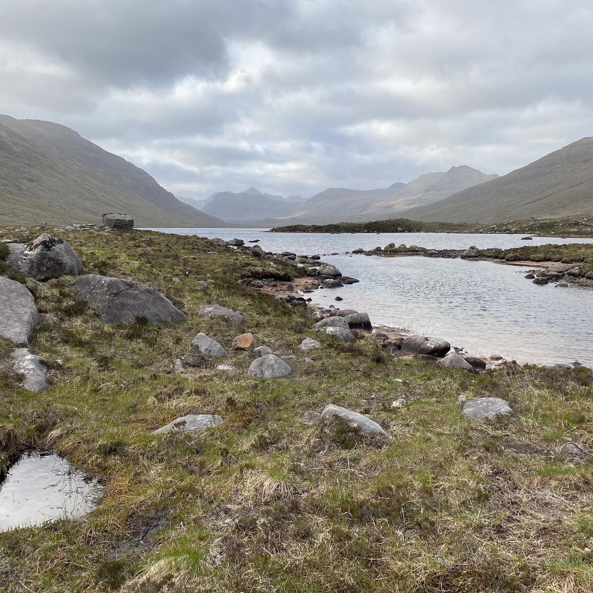
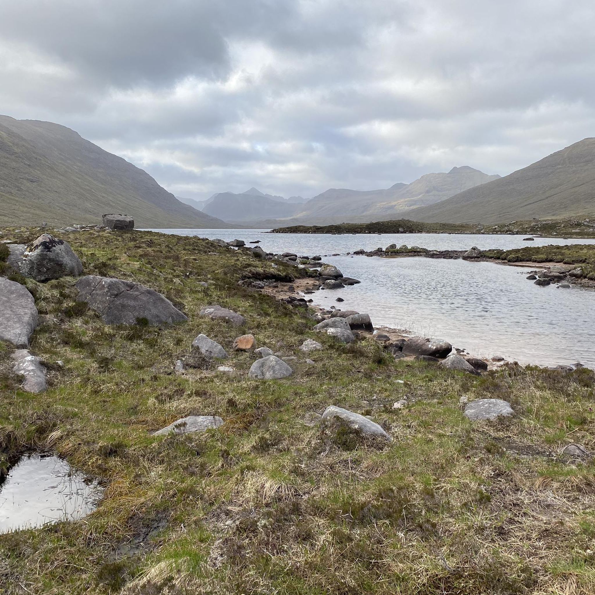
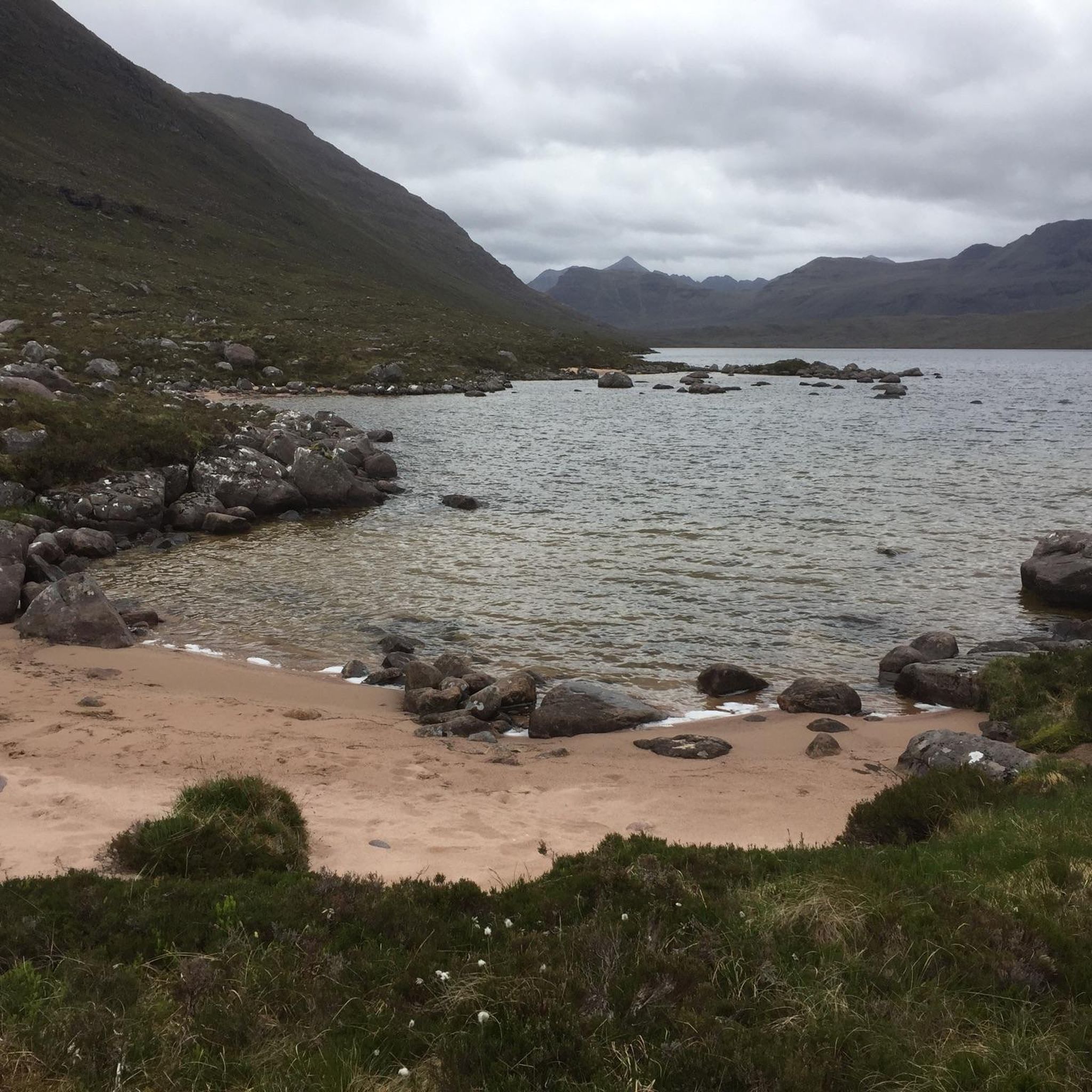
Touring cycling around Loch na h-Oidhche presents a challenging yet rewarding experience in the remote Scottish Highlands. The region is characterized by rugged mountains like Beinn an Eoin and Baosbheinn, expansive moorland, and numerous freshwater lochs. Routes often follow rough vehicle tracks with loose stone surfaces, requiring robust bicycles and potentially involving sections where bikes need to be pushed. River crossings are also a feature of the terrain, which can be more difficult after heavy rainfall.
Best touring cycling routes…
Last updated: June 27, 2026
5.0
(3)
42
riders
34.4km
02:17
490m
490m
Hard bike ride. Very good fitness required. Mostly paved surfaces. Suitable for all skill levels.
3.0
(1)
36
riders
28.8km
02:08
650m
650m
Hard bike ride. Very good fitness required. Mostly paved surfaces. Suitable for all skill levels.

Sign up for free
13
riders
73.0km
05:05
830m
830m
Hard bike ride. Very good fitness required. Mostly paved surfaces. Suitable for all skill levels.
5.0
(3)
44
riders
53.7km
03:17
490m
490m
Hard bike ride. Very good fitness required. Mostly paved surfaces. Suitable for all skill levels.
14
riders
Moderate bike ride. Good fitness required. Mostly paved surfaces. Suitable for all skill levels.
Our route recommendations are based on thousands of hikes, rides, and runs completed by other people on komoot.
Start today with a free account
Your next adventure awaits.
Login or Signup
Popular around Loch na h-Oidhche
Tips from the Community

cozy little campsite close to the village.
0
0

It's free! For tents only. Toilet, water point. Apparently midges galore at certain times.
0
0

Beautiful village, there seem to be some artists living here.
0
0

Great food, perfectly hitting the spot mid ride!
0
0

This is a brilliant stop off for a refreshment. Great pizza and just what we needed!
0
0

An absolute gem of a cafe 😋 - cosy atmosphere and great food options! For more information: https://m.facebook.com/WeeWhistleStop
1
0

The road follows the river Torridon. Wonderful area for cycling.
0
0
Frequently Asked Questions
What kind of terrain can I expect on touring cycling routes around Loch na h-Oidhche?
The terrain around Loch na h-Oidhche is challenging, characterized by rough vehicle tracks and loose stone surfaces. You should be prepared for rubbly or rocky sections, and potentially needing to push your bike. River crossings are also common, which can become more difficult after heavy rainfall. These conditions make the area best suited for robust touring bikes, gravel bikes, or mountain bikes.
Are there any circular touring cycling routes in the area?
Yes, there are several circular routes available. For example, the Nanny’s Café, Shieldaig – View of Shieldaig Island loop from Allt a' Bhealaich is a 34.6 km (21.5 miles) loop offering views of Shieldaig Island. Another option is the Loch Diabaigas Àirde – Loch Diabaig loop from Fasag, a difficult 28.8 km (17.9 miles) path through remote landscapes.
What is the best time of year to go touring cycling near Loch na h-Oidhche?
While not explicitly stated, the challenging terrain and potential for difficult river crossings after heavy rainfall suggest that drier months would be more suitable. Spring, summer, and early autumn generally offer more favorable weather conditions for cycling in the Scottish Highlands, though you should always be prepared for changeable weather.
What are some notable natural features or landmarks I might see while cycling?
The region is rich in dramatic Highland scenery. You'll be surrounded by imposing peaks like Beinn an Eoin and Baosbheinn, with Slioch and Beinn Eighe also visible from many trails. Expansive moorland and numerous freshwater lochs, including Loch na h-Oidhche itself, define the landscape. The area also lies within the Flowerdale Forest, which includes native pinewoods.
Are the touring cycling routes around Loch na h-Oidhche suitable for families or beginners?
The touring cycling routes around Loch na h-Oidhche are generally considered challenging, with difficult terrain and significant elevation changes. They are primarily recommended for experienced touring cyclists equipped for rough vehicle tracks. Beginners or families with young children might find these routes too demanding.
What do other touring cyclists say about the routes in Loch na h-Oidhche?
The routes in Loch na h-Oidhche are highly rated by the komoot community, with an average score of 4.5 stars from over 8 reviews. More than 195 touring cyclists have used komoot to explore the varied and challenging terrain, often praising the unparalleled views and sense of remoteness.
Where can I find parking for the cycling trails?
While specific parking locations for each trail are not detailed, many routes, such as the Road Along the River Torridon – View of Loch Clair loop from Tourist Information Centre, often start from accessible points like visitor centers or small villages, where parking facilities are typically available. It's advisable to check the starting point of your chosen route for specific parking information.
Are there any cafes or pubs near the touring cycling routes?
The region around Loch na h-Oidhche is remote, so amenities like cafes and pubs are sparse. However, some routes, like the Nanny’s Café, Shieldaig – View of Shieldaig Island loop from Allt a' Bhealaich, are named after local establishments, suggesting that some services might be available in nearby villages like Shieldaig or Torridon. It's always best to plan ahead and carry sufficient supplies.
Can I bring my dog on the touring cycling routes?
While specific regulations for dogs on cycling routes are not provided, the remote and wild nature of the Scottish Highlands means that dogs are generally welcome on trails, provided they are kept under control. Be mindful of livestock, ground-nesting birds, and other wildlife, especially during lambing season. Always follow the Scottish Outdoor Access Code.
How long do the touring cycling routes typically take to complete?
The duration varies depending on the route and your pace. For example, the View of Loch Torridon – View of Upper Loch Torridon loop from Inveralligin, a moderate 29.5 km (18.3 miles) route, takes approximately 2 hours 12 minutes. Longer, more difficult routes like the Road Along the River Torridon – View of Loch Clair loop from Tourist Information Centre, which is 73.1 km (45.4 miles), can take around 5 hours 4 minutes.
Is public transport available to reach the cycling areas around Loch na h-Oidhche?
The area around Loch na h-Oidhche is quite remote, and public transport options are limited. While some villages might have infrequent bus services, relying on public transport to access specific trailheads for cycling can be challenging. It's generally recommended to travel by car or arrange private transport to ensure flexibility and access to the starting points of the routes.

Get inspired with the komoot mobile app


Explore more
Browse the best Cycling routes in other regions.
