The best road cycling routes around Lake Ampollino
4.6
(18)
207
riders
16
rides
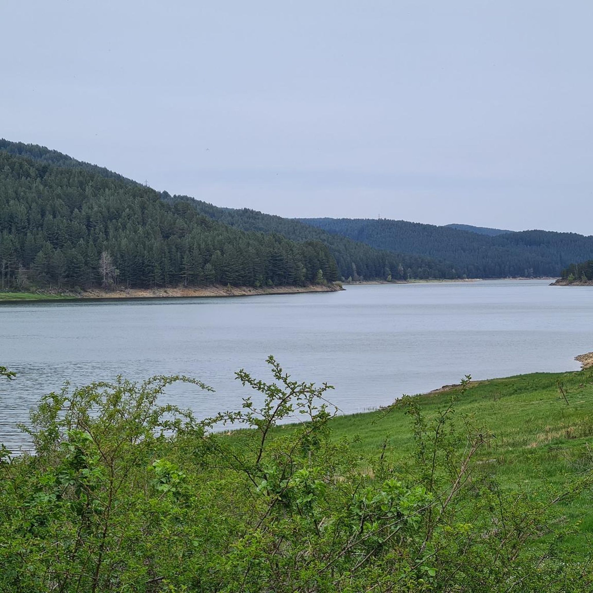
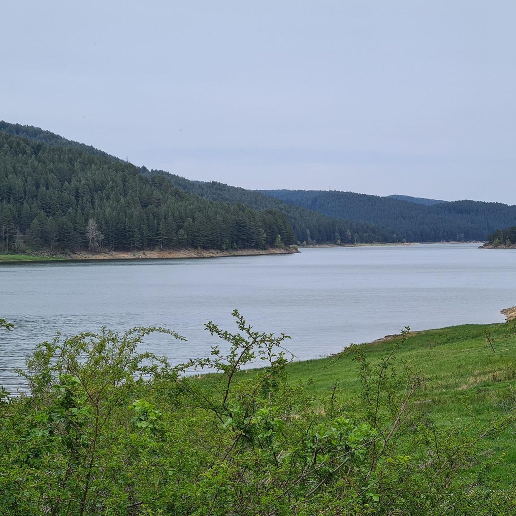
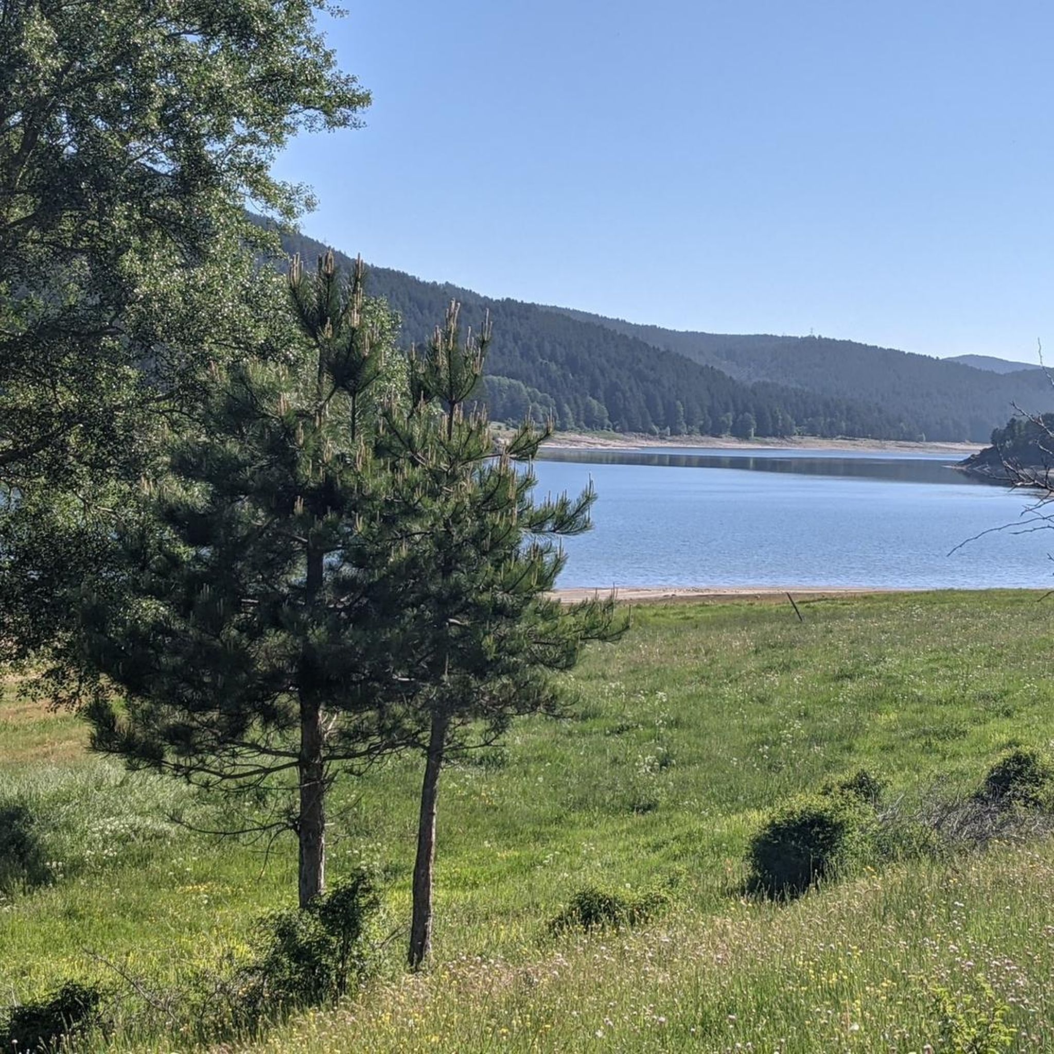
Road cycling around Lake Ampollino is set within the Sila National Park, featuring the Sila Piccola and Sila Grande mountains. The landscape includes extensive pine, beech, and fir forests, creating a diverse Mediterranean mountain environment. A dedicated bike path runs parallel to the south shore of the artificial lake, offering scenic water views. This region is part of the wider "Parks Cycle Route," connecting to other lake basins and varied terrains.
Best road cycling routes around Lake Ampollino
- The most…
Last updated: July 13, 2026
5.0
(3)
9
riders
50.6km
02:17
560m
560m
Moderate road ride. Good fitness required. Mostly well-paved surfaces and easy to ride.
8
riders
128km
06:39
2,140m
2,140m
Hard road ride. Very good fitness required. Some segments of this route may be unpaved and difficult to ride.

Sign up for free
5.0
(2)
15
riders
61.8km
02:58
850m
850m
Moderate road ride. Good fitness required. Mostly well-paved surfaces and easy to ride.
5.0
(6)
52
riders
82.7km
04:13
1,410m
1,410m
Hard road ride. Very good fitness required. Mostly well-paved surfaces and easy to ride.
5.0
(2)
6
riders
37.5km
02:16
930m
930m
Hard road ride. Very good fitness required. Mostly well-paved surfaces and easy to ride.
Get access to more routes and recommendations from other explorers.
Sign up for free
Already have an account?
Our route recommendations are based on thousands of hikes, rides, and runs completed by other people on komoot.
Start today with a free account
Your next adventure awaits.
Login or Signup
Popular around Lake Ampollino
Tips from the Community

The summit of Sila, Monte Botte Donato. The small fountain is located near the refuge, close to the cable car station
0
0
Lorica, the pearl of Sila
0
0
From the summit of Mount Botte Donato
1
0

Lorica, located right on the shore of the lake, is a convenient base for trips. It is a small town with several cafes and service points where you can take a break after a ride or walk. There are also several easy and well-marked hiking trails in the area, which allow for leisurely walks in the forest or along the shore.
1
0
Lake Arvo is a natural centre of outdoor activities in the Sila National Park. Around the lake there are good quality asphalt roads, which are great for cycling - both recreational and more demanding. The routes are varied in length and difficulty, so everyone will find something for themselves. For example, the "Anello Lago Arvo" route is a classic loop recommended in local guides, recommended in spring and summer. Along the way you pass places such as: Camping Lago Arvo, the dam (Diga Nocelle), Rovale, Scarda, Pino Collito and other picturesque corners.
1
0

with the snow it's beautiful
0
0
Frequently Asked Questions
How many road cycling routes are available around Lake Ampollino?
There are 14 road cycling routes around Lake Ampollino, offering a variety of experiences within the Sila National Park. These routes cater to different skill levels, with options ranging from moderate to difficult.
Are there road cycling routes for all skill levels around Lake Ampollino?
While the majority of routes around Lake Ampollino are classified as difficult (10 routes), there are also 4 moderate routes available. This makes the area suitable for experienced cyclists and those looking for a good challenge, though beginners might find fewer options.
When is the best time of year for road cycling around Lake Ampollino?
The warmer months, typically from late spring to early autumn, offer the most pleasant conditions for road cycling around Lake Ampollino. During this period, you can fully enjoy the extensive pine, beech, and fir forests and the serene atmosphere without the challenges of winter weather.
What kind of landscapes can I expect to see while road cycling around Lake Ampollino?
Road cycling around Lake Ampollino offers diverse landscapes, from the majestic Sila Piccola and Sila Grande mountains with peaks like Scorciavuoi and Monte Nero, to extensive pine, beech, and fir forests. You'll also enjoy striking water views along the lake's south shore, which features reed beds and water lilies.
Are there any family-friendly road cycling options near Lake Ampollino?
Yes, a convenient bike path runs parallel to the south shore of Lake Ampollino, providing striking water views and a scenic, relatively flat route. This path is suitable for cyclists of varying abilities, including families looking for an easier ride.
What are some notable landmarks or attractions I can see while cycling around Lake Ampollino?
While cycling, you can pass by the historic Lago Ampollino Dam, an early 20th-century hydroelectric monument. The Lago Ampollino Lakeside Cycle Path itself is a highlight, offering continuous scenic views of the lake. The entire area is within the Sila National Park, known for its pristine natural environment.
Are there any circular road cycling routes around Lake Ampollino?
Yes, a popular option is the Lake Ampollino Loop, a 31.4-mile (50.6 km) route that offers striking water views along the lake's south shore. Another option is the Ariamacina Lake Loop from San Giovanni in, which is 34.9 miles (56.2 km).
What do other road cyclists enjoy most about road cycling in Lake Ampollino?
The area is highly rated by the komoot community, with an average score of 4.6 stars. Reviewers often praise the stunning natural beauty, the diverse landscapes ranging from mountain forests to serene lake views, and the opportunity to explore the heart of Calabria at a slower pace.
Are there options for longer, more challenging road cycling tours that connect to other areas?
Absolutely. The region is part of the wider 'Parks Cycle Route' (Ciclovia dei Parchi). You can undertake longer tours like the Lake Arvo and Lake Ampollino Loop, a difficult 51.4-mile (82.7 km) path that connects multiple lake basins and traverses varied landscapes, including mountain spruce forests.
Where can I find parking facilities for road cycling around Lake Ampollino?
While specific parking facilities are not detailed, the villages and recreational areas around Lake Ampollino, such as Villaggio Palumbo and Villaggio Baffa, typically offer parking options for visitors. It's advisable to check local signage upon arrival.
Are there cafes or restaurants available along the road cycling routes?
The villages overlooking Lake Ampollino, such as Villaggio Palumbo and Villaggio Baffa, offer services including cafes and restaurants where cyclists can refuel and rest. While the focus is on natural beauty, these small settlements provide essential amenities.
What is the elevation gain like on road cycling routes around Lake Ampollino?
The elevation gain varies significantly depending on the route. For example, the Lake Ampollino Loop has an elevation gain of approximately 561 meters, while the more challenging Lake Arvo and Lake Ampollino Loop features a substantial 1409 meters of ascent, reflecting the mountainous terrain of the Sila National Park.
Most popular routes around Lake Ampollino
Most popular attractions around Lake Ampollino

Get inspired with the komoot mobile app


Explore more
Browse the best Road cycling routes in other regions.
