The best running trails around Étang de Gnioure
4.8
(12)
1,539
runners
70
runs
Jogging routes around Étang de Gnioure are situated in the high-mountain landscape of the Ariège Pyrenees, characterized by rugged terrain and significant elevation changes. The region features a majestic lake surrounded by towering peaks, with trails often including cascades and rivers. While the area is excellent for strenuous outdoor activities, the terrain around Étang de Gnioure is primarily suited for experienced trail runners accustomed to technical and demanding routes.
Best jogging routes around Étang de Gnioure
- The most popular jogging…
Last updated: July 1, 2026
16
runners
14.8km
02:58
960m
960m
Hard run. Very good fitness required. Sure-footedness, sturdy shoes and alpine experience required.
10
runners
23.6km
04:41
1,460m
1,460m
Hard run. Very good fitness required. Sure-footedness, sturdy shoes and alpine experience required.

Sign up for free
20
runners
22.2km
05:10
1,710m
1,710m
Hard run. Very good fitness required. Sure-footedness, sturdy shoes and alpine experience required.
23
runners
7.94km
01:57
980m
980m
Hard run. Very good fitness required. Mostly paved surfaces. Suitable for all skill levels.
21
runners
7.83km
01:56
980m
980m
Hard run. Very good fitness required. Mostly paved surfaces. Suitable for all skill levels.
Get access to more routes and recommendations from other explorers.
Sign up for free
Already have an account?
Our route recommendations are based on thousands of hikes, rides, and runs completed by other people on komoot.
Start today with a free account
Your next adventure awaits.
Login or Signup
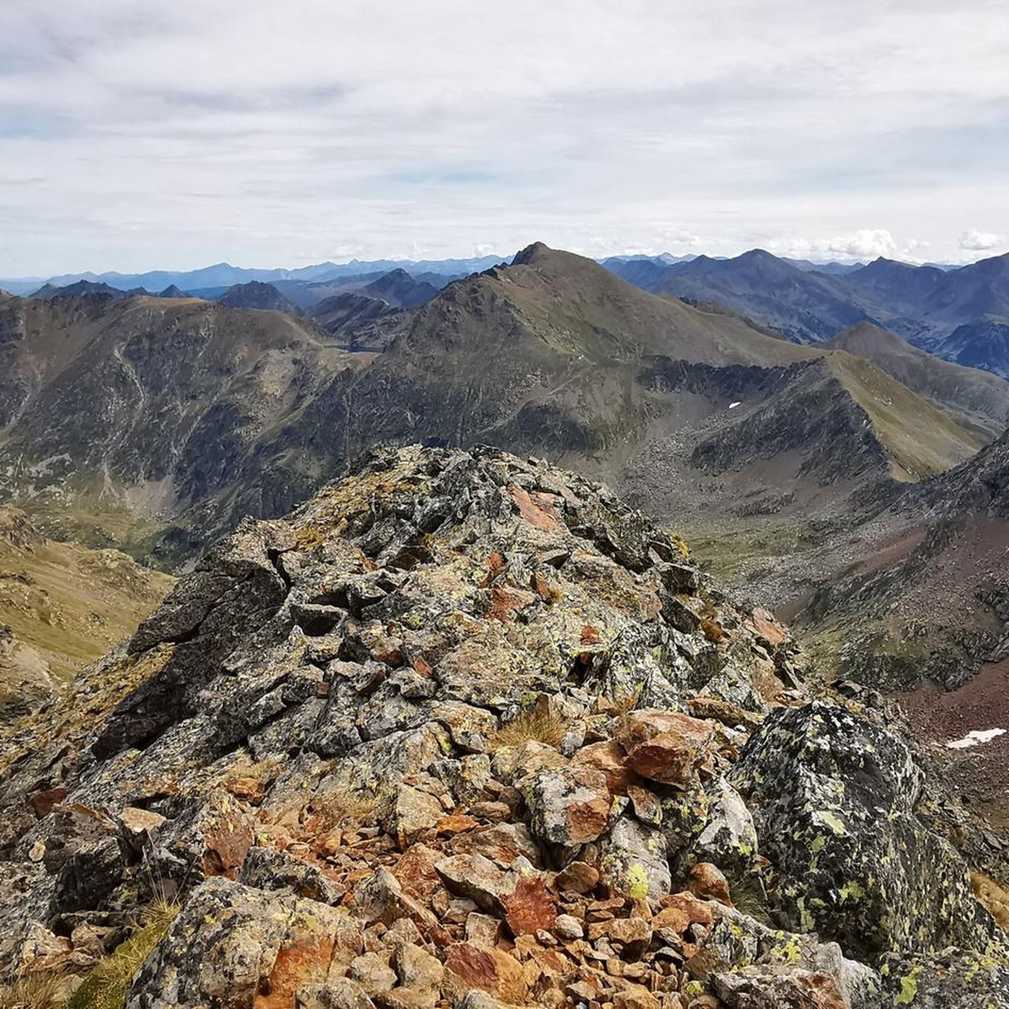
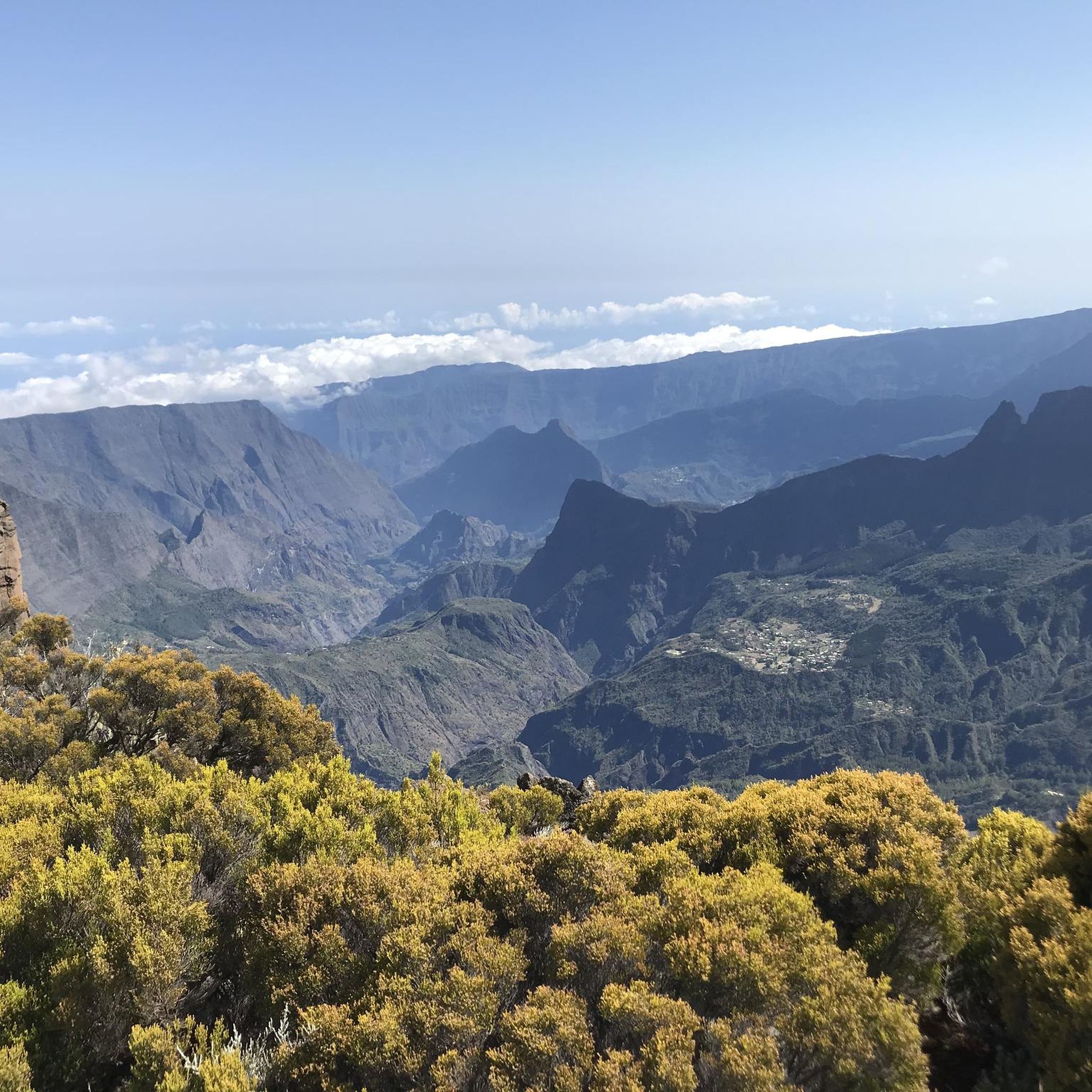
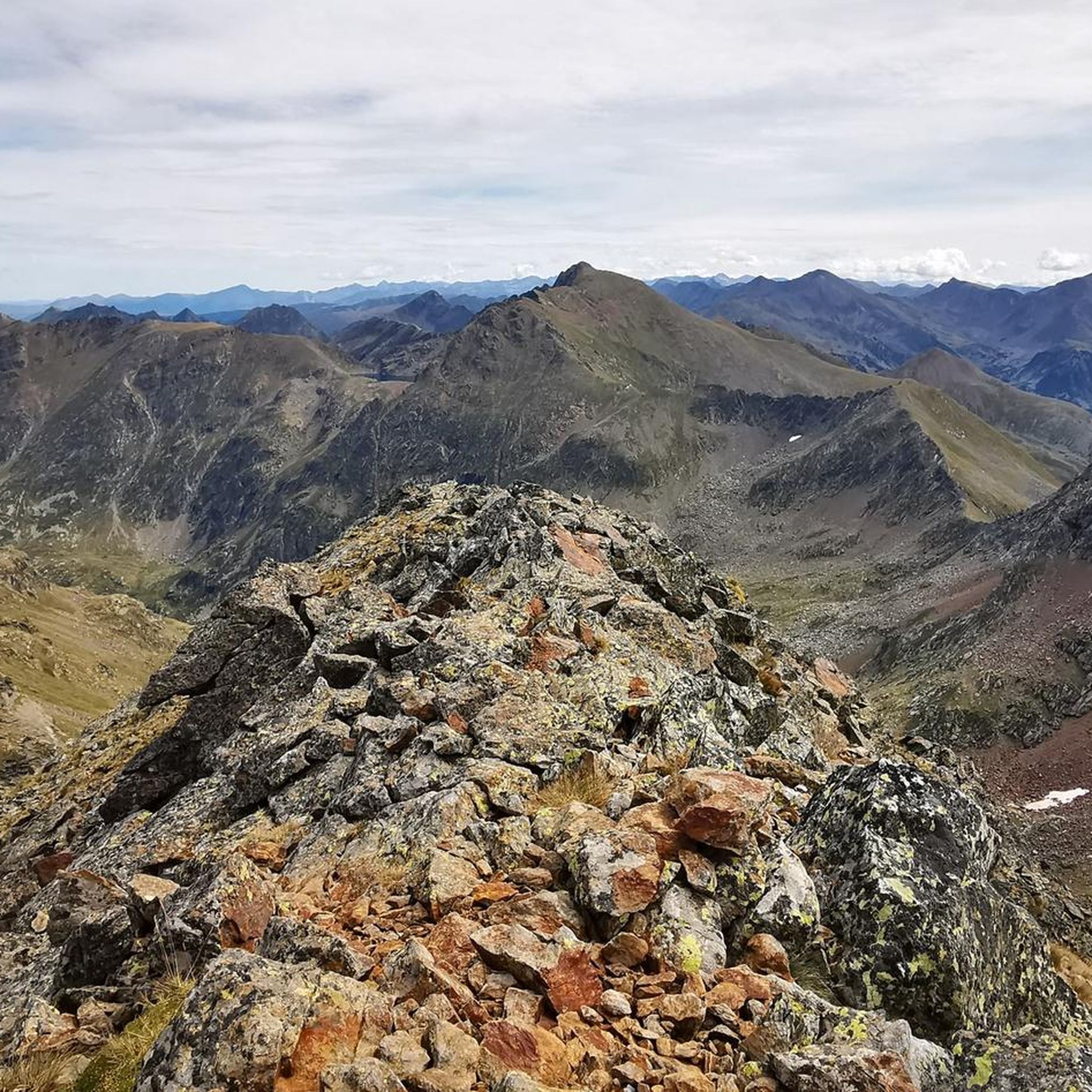
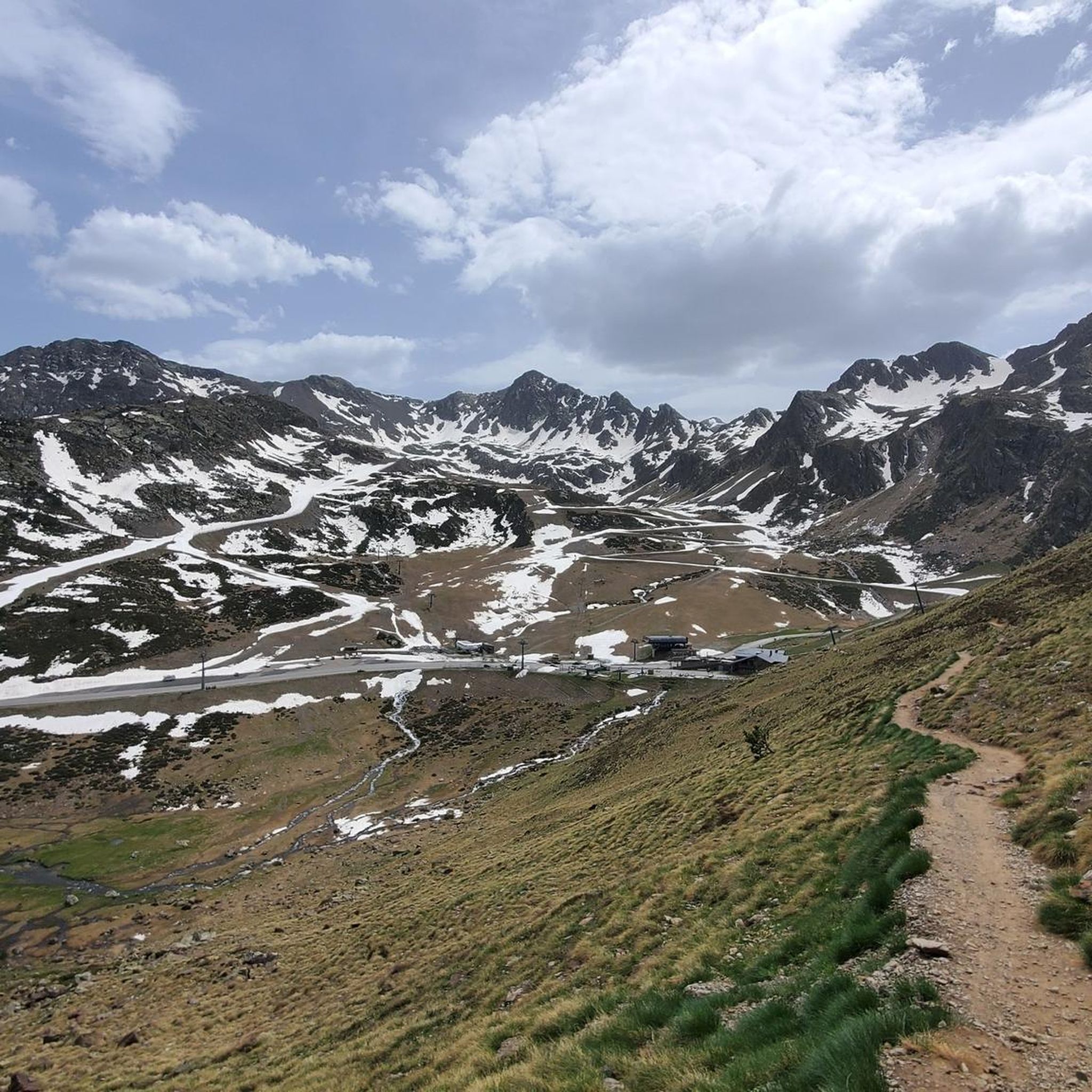
Tips from the Community

A beautiful, not too difficult summit on the national border 🇦🇩🇫🇷😃, but requiring some light scrambling 😃 in the summit area (⚠️ UIAA: I). Great view of the surrounding lakes 😃.
1
0

Very beautiful and photogenic lakes in a high valley, accessible only by long hikes/climbing. Therefore, they are not as crowded as the reservoir in the valley below. You'll often need your hands on the descent from the eponymous peak, Pic d'Étang Fourcat.
0
0

Mountain pass that is located on its west side of Pic de Port de Siguer and that carries the same new. From the top you can see Étang Blaou.
0
0
Source that gives its name to the entire valley that goes from the Pic de la Font Blanca and continues downstream to the Arcalís ski resort.
0
0

Beautiful hike, easy to access. However, there is work underway on the dam (August 2023). The lake has been emptied and there are Algecos installed at the finish. Avoid for the moment.
1
0

Pretty lake accessible from the beginning of April this year. Note that the return made by the other side is not marked but the path is obvious.
1
0

The large Fourcat pond is part of a group of three ponds: the Oussade pond, the large Fourcat pond and the small Fourcat pond downstream. A guarded refuge is located between the small and the large Fourcat pond.
0
0
The Izourt pond is an artificial body of water at an altitude of 1652 m on the Artiès stream. A small shelter is located near the dam.
1
0
Frequently Asked Questions
How many running routes are available around Étang de Gnioure?
There are over 60 running routes available around Étang de Gnioure on komoot. While the majority are classified as difficult, there are a few moderate and easy options for those seeking less strenuous runs.
Are there easy or flat jogging routes around Étang de Gnioure?
The terrain around Étang de Gnioure is predominantly rugged and mountainous, making truly flat or easy jogging paths rare. Most routes involve significant elevation gains and technical sections, better suited for experienced trail runners. While there are 2 routes classified as 'easy' and 9 as 'moderate' in the broader area, the immediate vicinity of Étang de Gnioure is known for its challenging landscape.
What is the typical terrain like for running trails in this area?
The running trails around Étang de Gnioure are characterized by a rugged, high-mountain landscape. You can expect rocky and sometimes loose paths, steep ascents, and significant elevation changes. Sturdy shoes and sure-footedness are essential for navigating these demanding routes.
What natural features or landmarks can I expect to see while running?
While running around Étang de Gnioure, you'll encounter a majestic lake surrounded by towering peaks, offering stunning panoramic views. Many trails feature numerous cascades and streams, such as the Ruisseau d'Auruzan and the Ruisseau de Gnioure. The area also boasts diverse ecosystems, including forests, wetlands, and high-altitude pastures.
Are there any circular running routes available?
Yes, there are several circular running routes. For instance, the Étang de Peyregrand loop from Bouychet is a difficult 14.7 km circular trail. Another challenging option is the Pic de Tristagne and Étang Fourcat Loop Trail, covering 22.2 km through high-altitude terrain.
What is the best time of year to go running around Étang de Gnioure?
The best time to go running in this high-mountain region is typically during the warmer months, from late spring to early autumn, when trails are clear of snow and ice. Always check current weather and trail conditions before heading out, as the Pyrenees can experience rapid changes.
Is there parking available near the running trailheads?
While specific parking details for every trailhead are not provided, access points to high-mountain trails often have designated parking areas, though these can be limited. For routes starting from Bouychet, such as the Étang de Peyregrand loop, you would typically find parking in or near the village.
How can I reach the running trails around Étang de Gnioure by public transport?
Reaching high-mountain areas like Étang de Gnioure by public transport can be challenging. While some villages like Siguer or Auzat might have limited bus services, direct public transport to the remote trailheads around Étang de Gnioure is generally not available. Access is primarily by private vehicle.
Are dogs allowed on the running trails around Étang de Gnioure?
The Ariège Pyrenees are generally dog-friendly, but specific rules can vary, especially in protected areas or during certain seasons (e.g., for livestock protection). It's always recommended to keep dogs on a leash, especially in high-altitude pastures where sheep, cows, and horses graze, and to check local regulations before your visit.
Are the running trails around Étang de Gnioure suitable for families?
Due to the rugged and challenging nature of the terrain, most running trails directly around Étang de Gnioure are not ideal for casual family jogging, especially with young children. They are better suited for families with experience in strenuous hiking and trail running. For easier, shorter walks, you might need to explore broader areas of the Ariège Pyrenees.
What do other runners say about the trails around Étang de Gnioure?
The running routes in Étang de Gnioure are highly rated by the komoot community, with an average score of 4.75 stars from more than 10 reviews. Runners often praise the breathtaking mountain scenery, the challenge of the demanding trails, and the pristine natural beauty of the lakes and peaks.
Are there any amenities like cafes or accommodation nearby?
The immediate vicinity of Étang de Gnioure is a remote high-mountain environment with no direct amenities. However, nearby villages such as Siguer or Auzat, further down the valley, may offer limited options for cafes, restaurants, or accommodation. It's advisable to plan ahead and carry all necessary supplies.
Most popular routes around Étang de Gnioure

Get inspired with the komoot mobile app


Explore more
Browse the best Running Trails & Routes in other regions.
