The best MTB trails around Étang de Gnioure
4.4
(8)
162
riders
12
rides
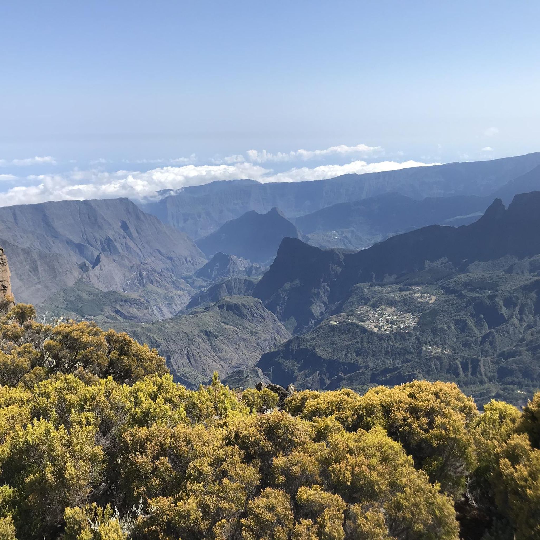
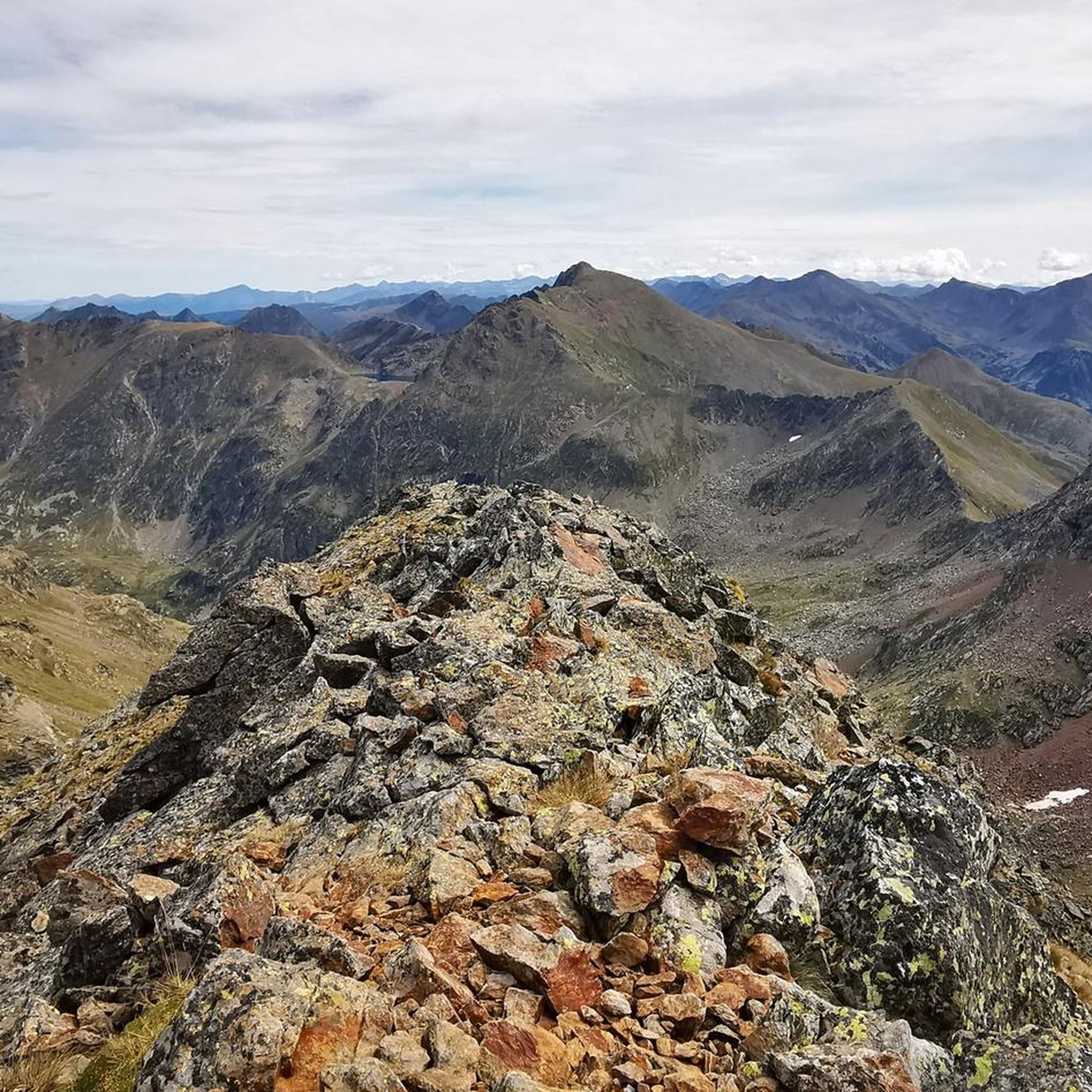
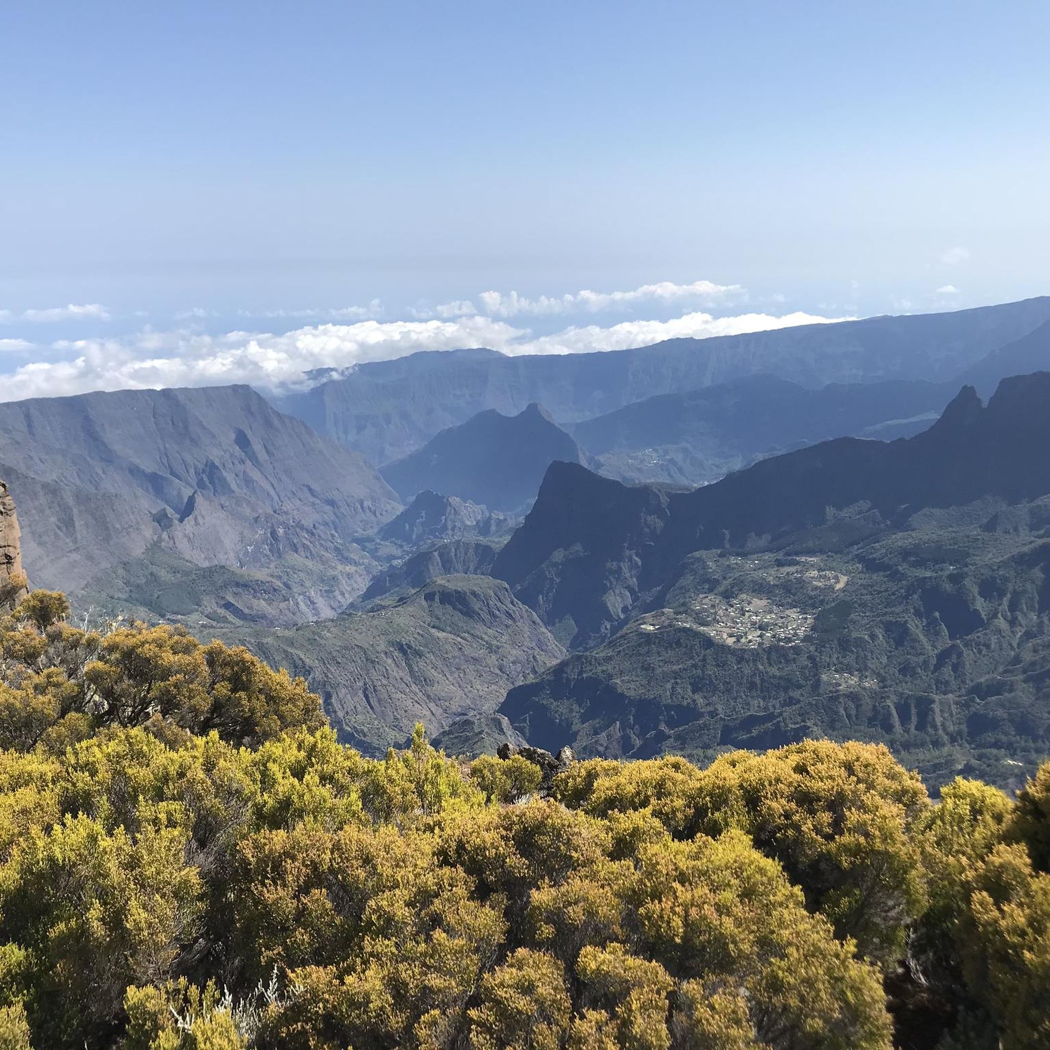
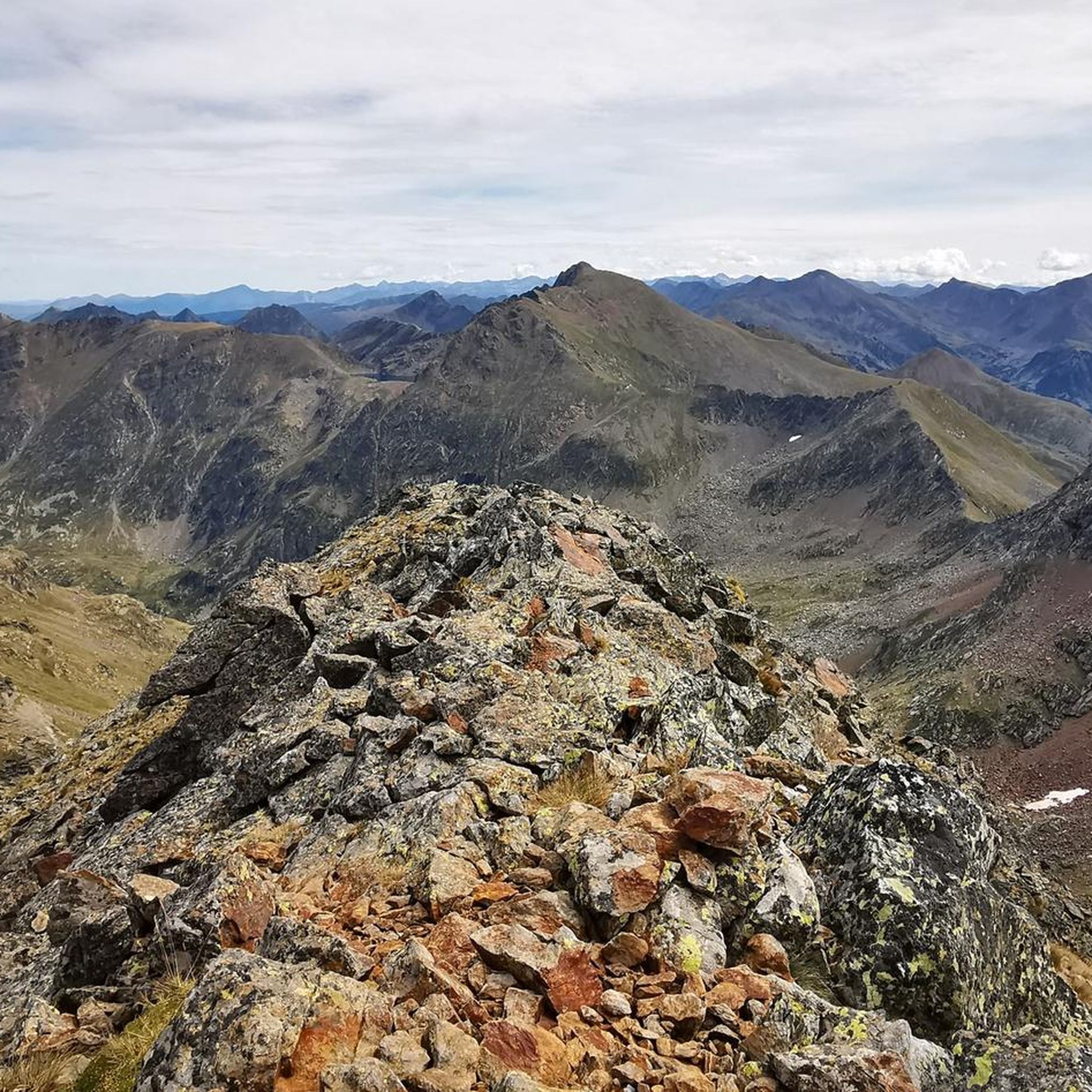
Mountain biking around Étang de Gnioure offers diverse terrain within the rugged Ariège Pyrenees. The region is characterized by high-altitude lakes, dramatic mountain ranges, and varied landscapes. Trails often feature challenging climbs and exhilarating descents, providing both physical tests and rewarding views. An extensive network of routes caters to different skill levels, from accessible paths to demanding technical sections.
Best mountain bike trails around Étang de Gnioure
- The most popular mountain bike trail is Sant Pere del Serrat – Camí…
Last updated: July 1, 2026
15
riders
14.8km
01:32
530m
530m
Moderate mountain bike ride. Good fitness required. Suitable for all skill levels.
24
riders
22.5km
02:49
1,060m
1,060m
Hard mountain bike ride. Very good fitness required. Advanced riding skills necessary. Some portions of the route may require you to push your bike.

Sign up for free
4
riders
11.4km
02:13
740m
740m
Hard mountain bike ride. Good fitness required. Advanced riding skills necessary. Some portions of the route may require you to push your bike.
5.99km
00:42
240m
250m
Easy mountain bike ride. Great for any fitness level. Suitable for all skill levels.
4.5
(2)
9
riders
25.4km
02:36
770m
770m
Moderate mountain bike ride. Good fitness required. Suitable for all skill levels.
Get access to more routes and recommendations from other explorers.
Sign up for free
Already have an account?
Our route recommendations are based on thousands of hikes, rides, and runs completed by other people on komoot.
Start today with a free account
Your next adventure awaits.
Login or Signup
Tips from the Community

Solar viewpoint on the Peyraguils pass or summit, a metal structure that allows a 360° view of the valleys of the Andorran Pyrenees and the Aran Valley, with views of Aneto.
2
0

Here again: Someone is rating ALL photos of highlights in this region (Northwest Pyrenees) "not accurate," even though they accurately depict the location? Why does anyone need to do that? Is it jealousy? Does someone want to drag down others' "expert" ratings? How pathetic.
1
1

Hike to do with a very good full suspension mountain bike or 🥾🎒
0
0

Porta Estellar, or Arcalìs 91, also known as the "O" of Ordino, in reference to the name of the Parish. It is the work of the Italian Mario Staccioli.
0
0

Not very technical, a few pins and no exposure
0
0

It is one of the highest points accessible by mountain bike (MTB) and eBike in Andorra. It is a popular destination among cyclists due to its spectacular surroundings and the challenges offered by the climb. The starting point at the Ordino Arcalís ski resort to the summit of Les Portelles covers approximately 7.5 kilometers. The cumulative elevation gain is significant, reaching 700 meters of vertical ascent from the base of the resort to the summit of Les Portelles, which is located at about 2,560 meters above sea level. The terrain is varied, combining asphalt sections in the initial parts with dirt and gravel tracks as you ascend. In some places, the terrain becomes more technical, especially near the summit, where rocks and the incline add difficulty. The climb is considered high difficulty due to the elevation gain and terrain conditions. It is a demanding route for both MTB cyclists and eBike users, who will enjoy the additional challenge offered by the altitude and the changing conditions of the high mountain climate.
0
0
Arcalís 91, also known as The Ring of Ordino, is a steel sculpture created by Italian artist Mauro Staccioli in 1991. Located in the Ordino Arcalís ski resort in Andorra, the sculpture is a giant ring that symbolizes perfection and eternity. It is strategically placed to frame the surrounding mountain landscape, creating a stunning visual effect. The work represents the opposition between natural law and human law, highlighting the contrast between the simplicity of the ring and the complexity of the nature that surrounds it.
1
0
The structure is designed to mark the hours of sunlight throughout the day, allowing visitors to experience how sunlight interacts with the structure at different times. In short, the Tristaina Solar Viewpoint is a work by Rafael Galindo, built in Corten steel and inaugurated in 2021, which celebrates the sun and its daily journey, offering a unique experience in one of the most impressive natural settings in Andorra.
1
0
Frequently Asked Questions
What kind of mountain biking terrain can I expect around Étang de Gnioure?
The terrain around Étang de Gnioure is characteristic of the rugged Ariège Pyrenees, featuring diverse landscapes from high-altitude lakes to dramatic mountain ranges. You'll encounter challenging climbs and exhilarating descents, with trails ranging from accessible paths to demanding technical sections. The region's natural sites, including the Ariège Pyrenees Regional Nature Park, offer varied environments with forests, wetlands, and high-altitude pastures.
How many mountain bike trails are available in the Étang de Gnioure area?
There are over 15 mountain bike trails available around Étang de Gnioure, offering a variety of experiences for different skill levels. The komoot community has explored these diverse routes extensively.
Are there any easy mountain bike trails suitable for beginners near Étang de Gnioure?
Yes, while many trails offer significant challenges, there is at least one easy mountain bike trail in the area. For those looking for a moderate challenge, routes like the Sant Pere del Serrat – Arcalís Summit (2,229 m) loop from El Serrat offer a good balance of effort and reward.
What is the best time of year to go mountain biking around Étang de Gnioure?
The region generally benefits from a sunny climate, allowing for an extended mountain biking season from March to November. However, for high-altitude trails, late spring through early autumn (June to September) typically offers the most favorable conditions, avoiding snow and ice.
Are there any family-friendly mountain bike trails around Étang de Gnioure?
While many trails in the Étang de Gnioure area involve significant elevation changes and can be challenging, there are options for varying skill levels. Look for trails designated as 'easy' or 'moderate' if you're riding with family. Always check the specific route details for distance and elevation before heading out.
What natural features or landmarks can I see while mountain biking near Étang de Gnioure?
The area is rich in natural beauty. You'll encounter stunning mountain scenery, including high-altitude lakes like Étang de Gnioure itself, Lac de Peyregrand, and Étang d'Izourt. The rugged Pyrenean landscape offers panoramic vistas and diverse flora and fauna within the Ariège Pyrenees Regional Nature Park. Trails often lead through mountain pastures and towards impressive summits like Arcalís.
Are there any loop mountain bike trails in the Étang de Gnioure region?
Yes, several loop trails are popular in the area. For example, the Pont de l'Estarell – Camí Ral of the Valira del Nord loop from El Serrat offers a challenging circular route with panoramic views. Another option is the Coma d'Arcalís – Arcalís Summit (2,229 m) loop from Ordino-Arcalís, which takes you through mountain pastures.
What do other mountain bikers say about the trails around Étang de Gnioure?
The mountain bike trails around Étang de Gnioure are highly rated by the komoot community, with an average score of 4.2 stars from over 10 reviews. Mountain bikers often praise the challenging climbs, exhilarating descents, and the rewarding views across the Valira del Nord and towards summits like Arcalís.
Are there any advanced or difficult mountain bike routes for experienced riders?
Absolutely. The Étang de Gnioure area is known for its challenging routes. The Ordino-Arcalís Climb is a difficult route with significant elevation gain, and the Mirador Solar de Tristaina y Les Portelles — circular desde Arcalis also presents a demanding ride.
Is parking available at the trailheads for mountain biking near Étang de Gnioure?
While specific parking details for every trailhead are not provided, areas popular for mountain biking in the Pyrenees generally offer designated parking spots. It's advisable to check the starting point of your chosen route on komoot for more precise information on parking availability.
Are there opportunities for wild swimming near mountain bike trails in the Étang de Gnioure area?
Given the presence of pristine high-altitude lakes such as Étang de Gnioure itself, Lac de Peyregrand, and Étang d'Izourt, there are certainly opportunities to enjoy wild swimming. These lakes offer picturesque settings for a refreshing dip after a ride, but always be mindful of local regulations and water safety.
Can I find cafes or accommodation near the mountain bike trails around Étang de Gnioure?
The region, being part of the Ariège Pyrenees, has villages and towns that offer amenities. While Étang de Gnioure itself is a high-altitude lake, nearby communities like El Serrat and Ordino-Arcalís, which serve as starting points for some routes, are more likely to have cafes, restaurants, and accommodation options for visitors.
Most popular routes around Étang de Gnioure

Get inspired with the komoot mobile app


Explore more
Browse the best MTB trails in other regions.
