The best road cycling routes around Étang de Gnioure
4.8
(19)
1,757
riders
12
rides
Road cycling routes around Étang de Gnioure are situated within the Parc naturel régional des Pyrénées Ariégeoises. While Étang de Gnioure itself is not accessible by road, the surrounding region offers a network of road cycling routes. This area is characterized by mountainous terrain, including significant passes and valleys, with routes often leading through villages. The landscape features a mix of forests, high-altitude pastures, and dramatic mountain backdrops, providing challenging climbs and scenic descents.
Best road cycling routes around Étang…
Last updated: July 14, 2026
5.0
(1)
99
riders
36.7km
02:24
1,110m
1,110m
Hard road ride. Very good fitness required. Mostly well-paved surfaces and easy to ride.
4.5
(2)
197
riders
196km
10:57
4,310m
4,310m
Hard road ride. Very good fitness required. Mostly well-paved surfaces and easy to ride.

Sign up for free
89
riders
26.9km
01:12
280m
280m
Easy road ride. Great for any fitness level. Mostly well-paved surfaces and easy to ride.
202
riders
53.5km
02:56
1,120m
1,120m
Hard road ride. Very good fitness required. Mostly well-paved surfaces and easy to ride.
66
riders
24.0km
01:37
810m
810m
Moderate road ride. Good fitness required. Mostly well-paved surfaces and easy to ride.
Get access to more routes and recommendations from other explorers.
Sign up for free
Already have an account?
Our route recommendations are based on thousands of hikes, rides, and runs completed by other people on komoot.
Start today with a free account
Your next adventure awaits.
Login or Signup
Tips from the Community

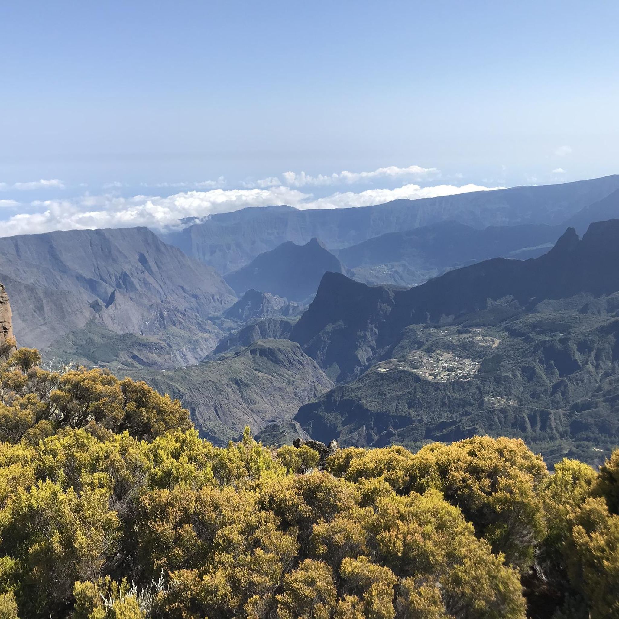
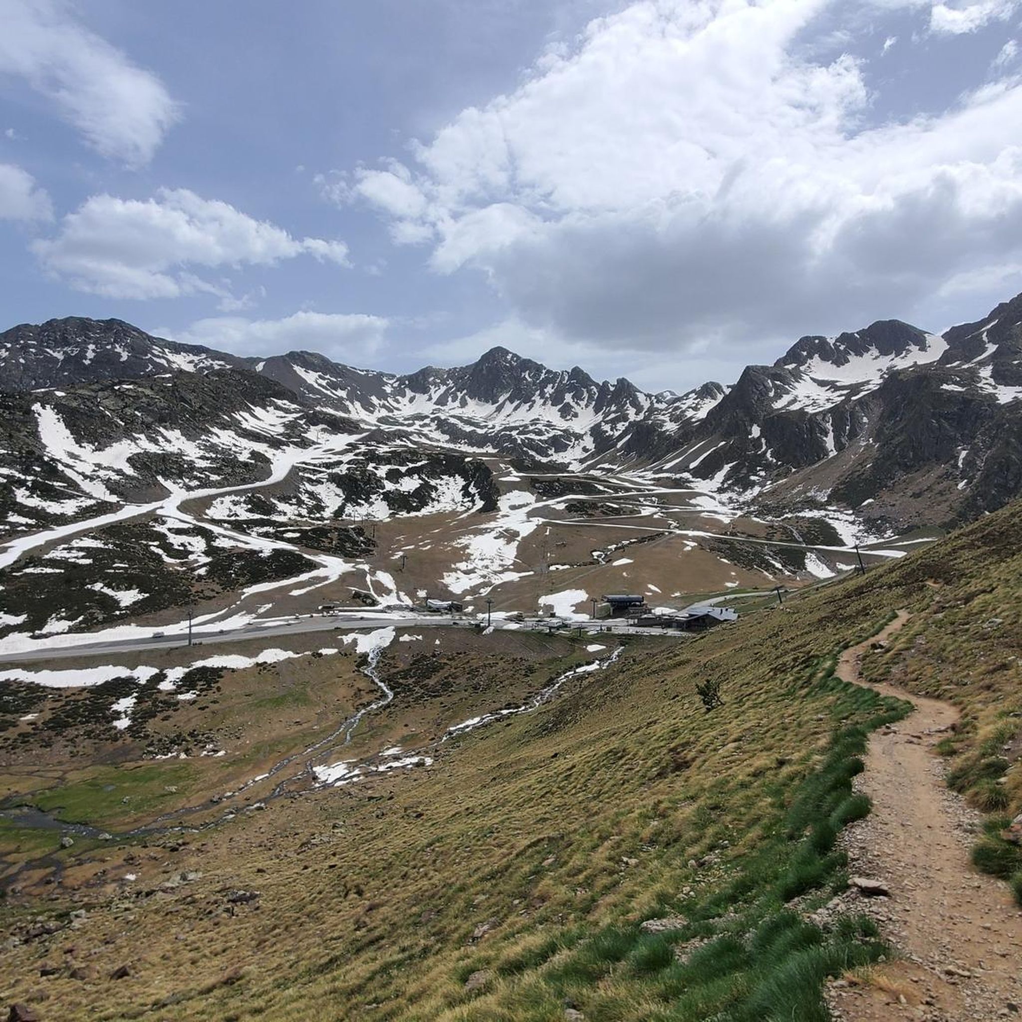
A heavenly place to enjoy the Pyrenees in their full glory. Ideal for a family picnic in spring or summer. Also, as there is a bar - restaurant, it is ideal if you want to have a drink on the terrace.
0
0
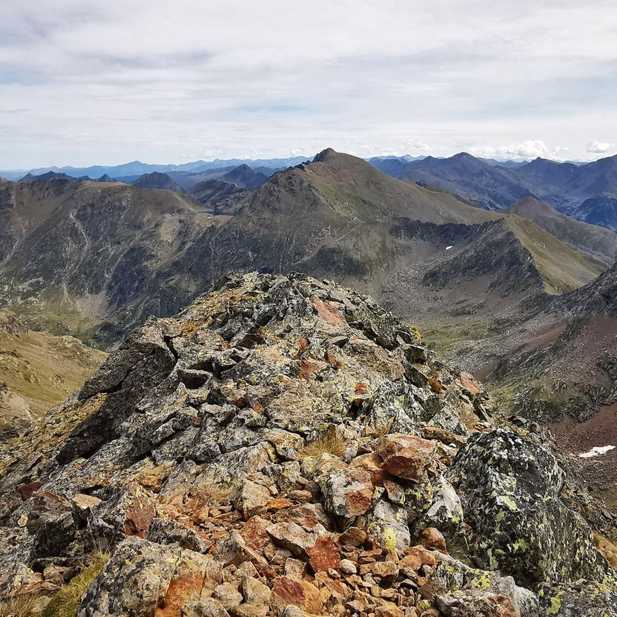
It is a MUST of the Pyrenees, without a doubt, that should be included in any route that crosses the Pyrenees from side to side. Any of its slopes 2 is spectacular and tough. The views from its summit are wonderful, feeling the wild side of the Pyrenees. Of course, once at the summit of this pass... you have to descend to the Étang de Lers and enjoy a quiet rest on the shores of the lake. It is a pass that has been part of the Tour de France route on several occasions, although always far from the finish line. The first professional rider to crest it in the lead was the unforgettable Marco Pantani in 1995.
0
0

I liked the climb from the north side (from Massat), very scenic and alpine landscapes towards the end at the étang de Lers
0
0

There are several fountains and public pools with pure thermal water to warm your feet after the descent.
0
0

Nice relax and shower stop in the swimming pool by Parc de'Espagne. Also a hose to clean the bikes in park near the gondola lift entry.
0
0

Very good route to do in spring or summer
0
0

After rolling over various cols, Manier can hang out well
0
0
Streets like this are simply a joy
0
0
Frequently Asked Questions
Can I road cycle directly to Étang de Gnioure?
No, Étang de Gnioure itself is not accessible by road. The lake is situated in a high mountain valley, primarily serving as a summer hiking destination. Road cycling routes are available in the broader Parc naturel régional des Pyrénées Ariégeoises surrounding the lake.
How many road cycling routes are available in the Étang de Gnioure region?
There are 9 road cycling routes available in the region around Étang de Gnioure. These routes cater to various skill levels, from easy to difficult.
What is the best time of year for road cycling in the Étang de Gnioure region?
The best seasons for road cycling in the Ariège Pyrenees are spring and autumn. During these times, you can expect milder temperatures and vibrant natural colors, making for a more enjoyable experience.
What kind of terrain and difficulty can I expect on road cycling routes in the Étang de Gnioure area?
The region is characterized by mountainous terrain, offering challenging passes and scenic valleys. You'll find a mix of routes, from easier loops with moderate elevation gains to difficult climbs like the one on Through the Lers pass to the pond, which features sustained climbs and descents.
Are there family-friendly road cycling routes in the Étang de Gnioure region?
Yes, there are options suitable for families or those seeking an easier ride. For instance, the Ordino Arcalís Hairpin Bends – Arcalís Mountain Pass loop from El Serrat is an easy 9.5 km route featuring a series of hairpin bends on an alpine pass, taking about 40 minutes to complete.
Are there circular road cycling routes available in the area?
Many of the road cycling routes in the Étang de Gnioure region are designed as loops. For example, the Lers Pass loop from Val-de-Sos is a 24 km circular trail that takes you through mountainous terrain and valleys.
What natural features or landmarks can I see while road cycling in the Ariège Pyrenees?
While cycling in the Ariège Pyrenees, you'll encounter dramatic mountainous surroundings, including peaks like Pic de l'Aspre. The region is dotted with beautiful lakes and cascades, and you might traverse passes such as the Col de Pailhères, known for its steep gradients and captivating scenery.
What do other road cyclists enjoy most about road cycling in the Étang de Gnioure region?
The area is highly rated by the komoot community, with an average score of 4.9 stars from over 10 reviews. Cyclists often praise the varied terrain, from challenging climbs to scenic descents, and the awe-inspiring mountain vistas found throughout the Parc naturel régional des Pyrénées Ariégeoises.
Are there any long-distance or challenging road cycling routes for experienced riders?
Yes, experienced riders will find challenging routes. The Col de la Crouzette (1245 m) – Col de Saraillé loop from Val-de-Sos is a difficult route spanning nearly 140 km with over 3,200 meters of elevation gain, offering a significant test of endurance.
Where are good starting points for road cycling routes in the region?
Many routes start from charming villages within the Parc naturel régional des Pyrénées Ariégeoises. Val-de-Sos is a common starting point for several routes, including the Mounicou stopover gîte loop from Val-de-Sos. The town of Foix also serves as a good starting point for exploring the broader regional park.
Are there routes that feature significant mountain passes?
Absolutely. The region is known for its mountain passes. Routes like Through the Lers pass to the pond and the Lers Pass loop from Val-de-Sos specifically traverse the Lers Pass, providing classic Pyrenean climbing experiences.
Most popular routes around Étang de Gnioure

Get inspired with the komoot mobile app


Explore more
Browse the best Road cycling routes in other regions.
