The best walks and hikes around Burgstetten
4.3
(1675)
6,052
hikers
60
hikes
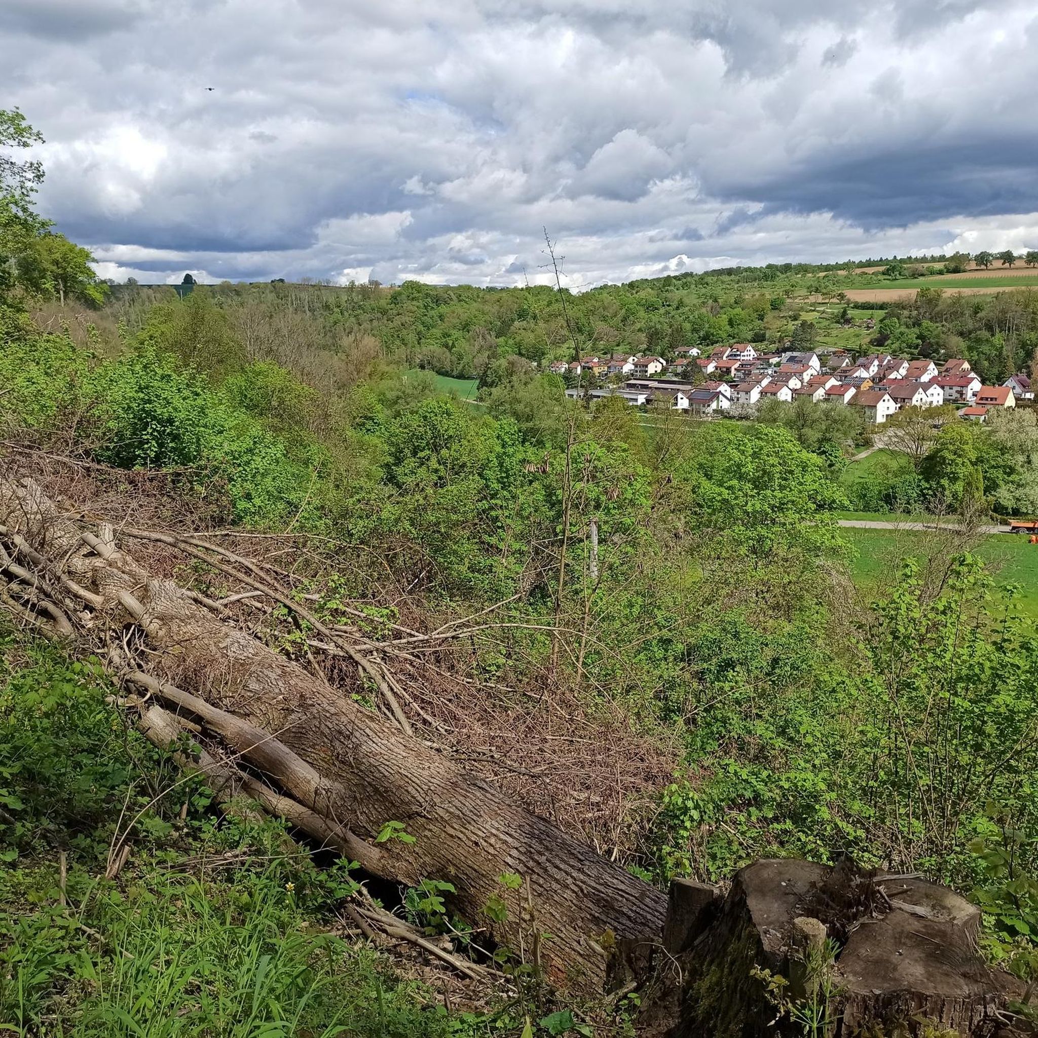
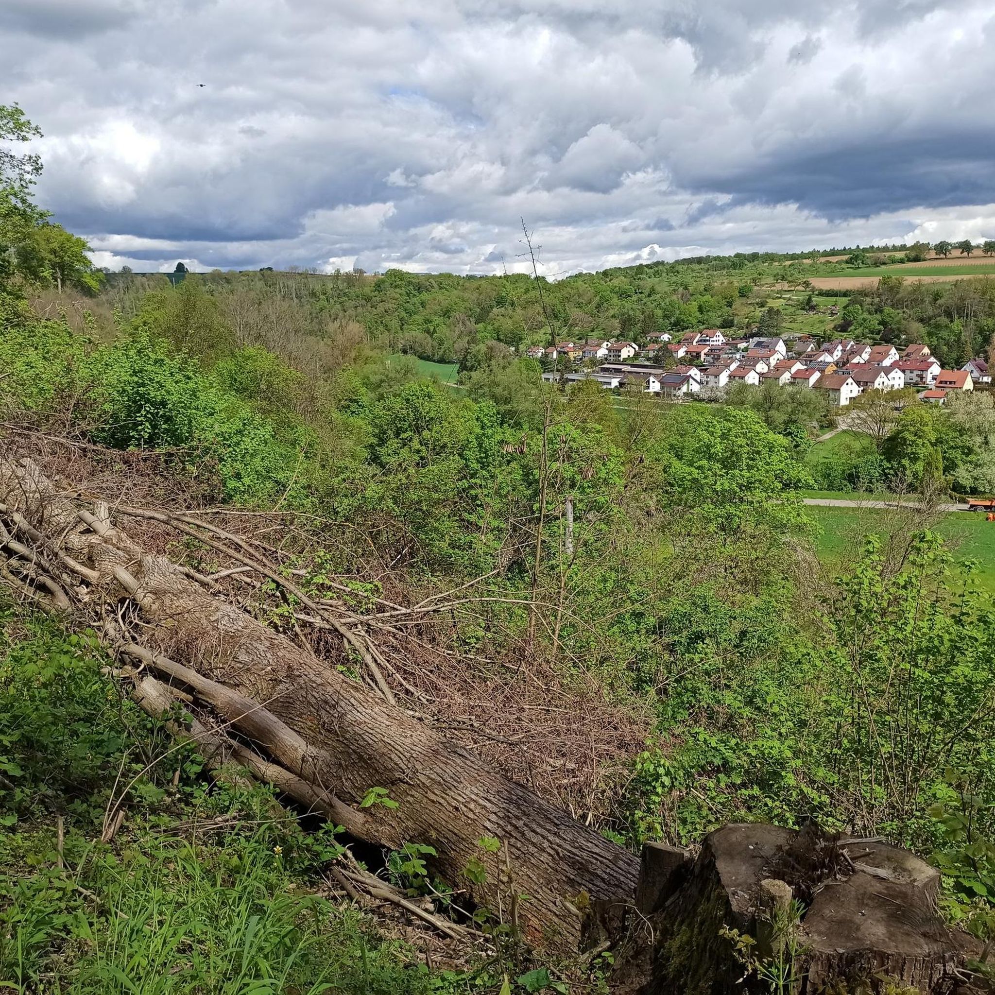
Hiking trails around Burgstetten traverse a varied landscape shaped by rivers, valleys, and forests in the Rems-Murr district. The region features waterways like the Murr, Buchenbach, and Wüstenbach, which create picturesque settings for outdoor activities. Hikers can explore renatured aquatic ecosystems, diverse forests, and open fields, offering a range of natural environments. This area provides a network of paths suitable for exploring its natural features.
Best hiking trails around Burgstetten
- The most popular hiking route is Buchenbach Stone Arch Bridge…
Last updated: June 25, 2026
4.6
(769)
2,291
hikers
Moderate hike. Good fitness required. Easily-accessible paths. Suitable for all skill levels.
4.8
(17)
92
hikers
Easy hike. Great for any fitness level. Easily-accessible paths. Suitable for all skill levels.

Sign up for free
4.5
(160)
646
hikers
11.3km
03:06
170m
170m
Moderate hike. Good fitness required. Easily-accessible paths. Suitable for all skill levels.
4.6
(5)
25
hikers
13.9km
03:51
250m
240m
Moderate hike. Good fitness required. Easily-accessible paths. Suitable for all skill levels.
4.3
(9)
46
hikers
7.13km
01:52
50m
50m
Easy hike. Great for any fitness level. Easily-accessible paths. Suitable for all skill levels.
Get access to more routes and recommendations from other explorers.
Sign up for free
Already have an account?
Our route recommendations are based on thousands of hikes, rides, and runs completed by other people on komoot.
Start today with a free account
Your next adventure awaits.
Login or Signup
Other adventures around Burgstetten

Tips from the Community

Worth seeing! But nothing more than that :-)
0
0

Wild little river in great nature
0
0

If you approach from below, you'll find a hunting stand completely overgrown with ivy on your right. It's a beautiful sight!
0
0
A beautiful wooden bridge on a flat section of the Wüstenbach stream. Right next door is a larger hiker's crossroads with hiking trails in four directions.
0
0
The path is currently closed at this point. Please observe the barriers! A small (but safe) detour via the Götzrnbach bridge is necessary.
0
0
The Götzenbrückke – a beautiful wooden bridge over the Wüstenbach.
1
0

Beautiful stone bridge to cross...
0
0

there are narrow places
1
0
Frequently Asked Questions
How many hiking trails are available around Burgstetten?
There are over 60 hiking routes available around Burgstetten, catering to various preferences. The majority are easy to moderate, with 39 easy routes and 21 moderate routes, ensuring options for most hikers.
What kind of landscapes will I encounter on hikes in Burgstetten?
Hikes in Burgstetten traverse a diverse landscape shaped by rivers, valleys, and forests. You'll find picturesque riverine settings along the Murr, Buchenbach, and Wüstenbach, renatured aquatic ecosystems like the Neckarbiotop Zugwiesen, and varied terrain including forests, fields, and flood meadows. Some routes even offer views of vineyards.
Are there any waterfalls to discover on hikes in Burgstetten?
Yes, the region features the very pretty Söllbach waterfall in the idyllic Murrtal. Additionally, the 'Ghost Cave' near Wüstenbach is associated with a waterfall that supplies water, adding a touch of mystery to the hike. You can find more details about the Geisterhöhle Waterfall on komoot.
Can I explore caves or interesting geological formations in the area?
Absolutely. The area boasts impressive geological formations, and former quarries have been transformed into natural habitats. A varied circular route, 'Kirchberg - Wüstenbach - Ghost Cave,' leads along the wild-romantic Wüstenbach and up to a 'spooky ghost cave.' Other notable caves include the Räuberhöhle (Maubach Cave) and Jux Cave.
Are there historical or cultural sights along the hiking trails?
Yes, several trails offer cultural insights. The Buchenbach Stone Arch Bridge – Stone Bridges in the Buchenbachtal loop features historic stream crossings and old stone bridges, which are natural monuments. For those interested in architecture, the old town center of Kirchberg, part of the 'Kirchberg - Hiking landscapes at Murr & Wüstenbach' route, showcases charming half-timbered buildings.
Are there family-friendly hiking options in Burgstetten?
Yes, Burgstetten offers many easy routes suitable for families. For example, the Murr River in the Buchenbach Valley – Buchenbach Stone Arch Bridge loop is an easy 5.6 km trail that explores the scenic Buchenbach Valley, perfect for a family outing.
Are dogs allowed on the hiking trails in Burgstetten?
Generally, dogs are welcome on the hiking trails in Burgstetten. The diverse natural landscapes, including forests and river valleys, provide excellent opportunities for walks with your canine companion. Please ensure dogs are kept on a leash where required, especially in nature reserves or near wildlife.
Are there circular hiking routes available in Burgstetten?
Yes, many of the hiking routes around Burgstetten are circular, allowing you to start and end at the same point. A popular example is the Wüstenbach Valley – Giant Arborvitae loop, which explores the wild-romantic Wüstenbach Valley and offers diverse forest scenery.
How can I reach the trailheads using public transport?
The region's commitment to accessibility means many starting points for hiking trails in Burgstetten are accessible by public transport. While specific routes vary, local bus and train services connect the municipality with surrounding areas, making it convenient to reach various trailheads without a car.
What do other hikers enjoy most about hiking in Burgstetten?
The hiking trails in Burgstetten are highly rated by the komoot community, with an average score of 4.3 stars from over 1,500 reviews. Hikers often praise the varied terrain, the serene river valleys, and the well-preserved natural monuments. The mix of forests, open fields, and unique natural features like the Buchenbach Valley and Wüstenbach Valley are frequently highlighted.
Are there any castles or viewpoints to visit near the hiking routes?
Yes, the area around Burgstetten features several historical sites and viewpoints. You can find highlights such as the View of Burg Lichtenberg or the View of Reichenberg Castle. For those interested in historical structures, Oppenweiler Castle and the Burg Bürg (Altwinnenden Castle) are also nearby.
What is the best time of year to go hiking in Burgstetten?
Burgstetten offers enjoyable hiking experiences throughout much of the year. Spring brings lush greenery and blooming wildflowers, while autumn showcases vibrant fall foliage in the forests. Summer is ideal for enjoying the riverine landscapes, and even mild winter days can be pleasant for a crisp walk, especially along the well-maintained paths.
Most popular routes around Burgstetten
Most popular attractions around Burgstetten

Get inspired with the komoot mobile app


Explore more
Browse the best Hikes in other regions.
