The best cycling routes around Moorlinch
4.5
(261)
1,884
riders
189
rides
Touring cycling around Moorlinch offers routes across the predominantly flat terrain of the Somerset Levels and Moors, an extensive wetland area. The region is situated on the southern slopes of the Polden ridge, providing varied topography. Key features include the internationally important Somerset Levels and Moors, which are ideal for cycling due to their level ground, and access to sections of National Cycle Route 3.
Best touring cycling routes around Moorlinch
- The most popular touring cycling route is St Mary's…
Last updated: October 13, 2026
5.0
(5)
16
riders
33.3km
02:02
130m
130m
Moderate bike ride. Good fitness required. Mostly paved surfaces. Suitable for all skill levels.
4.0
(1)
15
riders
43.1km
02:35
200m
200m
Moderate bike ride. Good fitness required. Mostly paved surfaces. Suitable for all skill levels.

5.0
(3)
13
riders
Easy bike ride. Great for any fitness level. Mostly paved surfaces. Suitable for all skill levels.
3.0
(1)
6
riders
105km
06:35
420m
420m
Hard bike ride. Very good fitness required. Mostly paved surfaces. Suitable for all skill levels.
5.0
(2)
6
riders
25.2km
01:35
150m
150m
Moderate bike ride. Good fitness required. Mostly paved surfaces. Suitable for all skill levels.
Get access to more routes and recommendations from other explorers.
Already have an account?
Our route recommendations are based on thousands of hikes, rides, and runs completed by other people on komoot.
Start today with a free account
Your next adventure awaits.


Tips from the Community

Featuring a wide selection of drinks, outstanding atmosphere and a fantastic menu, this uniquely decorated café and bar is sure to please. https://leatherandlacebarandgrill.com/
0
0


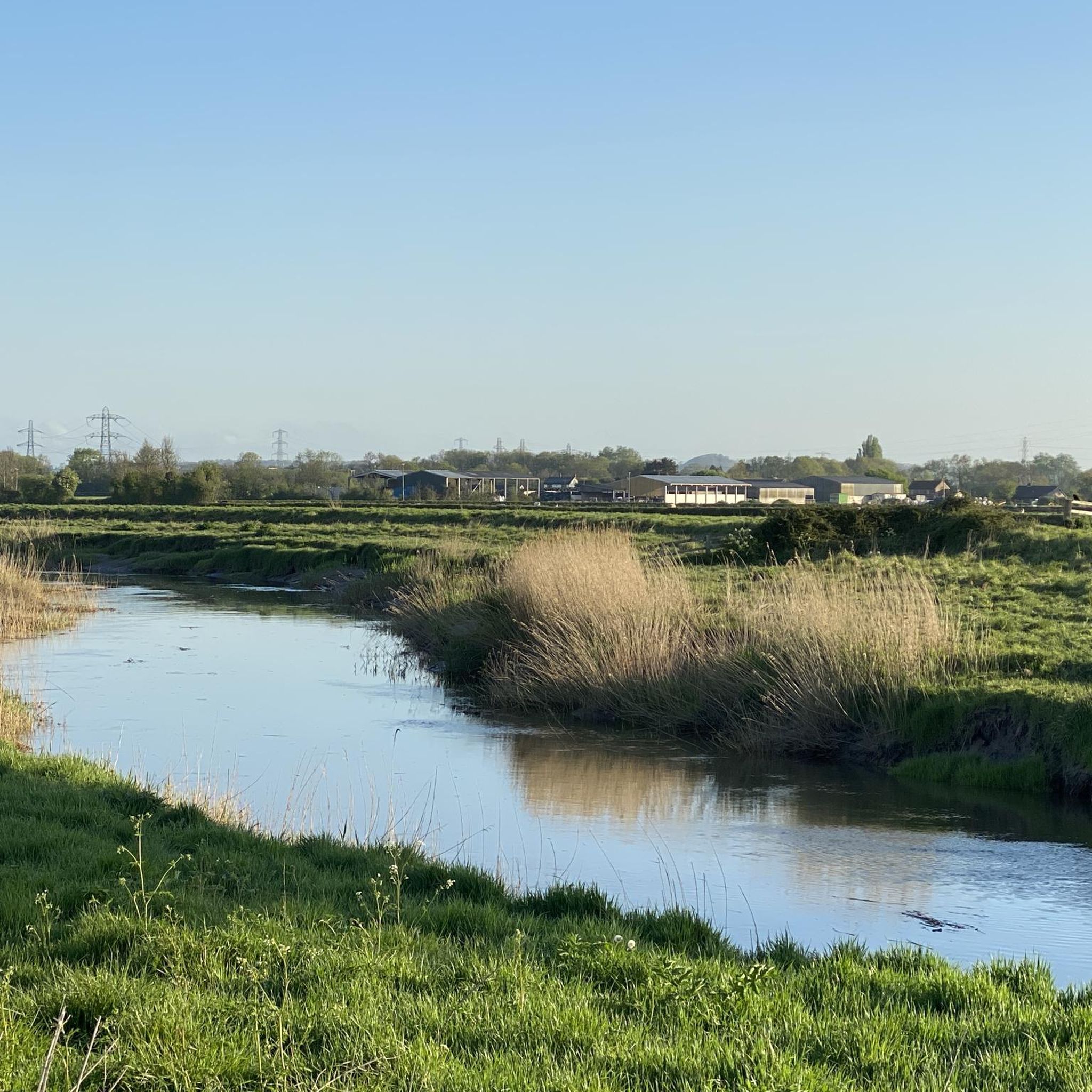
Really pretty little path. Only downside is how short it is.
0
0


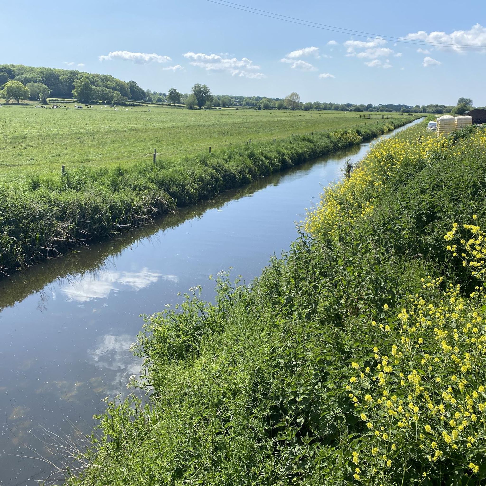
A lovely quiet lane with great views to the Mendips and the Tor ahead.
0
0

About the patronage of this church: Saint ANDREW is one of the twelve apostles that Jesus Christ called to follow him. However, in the biblical accounts he is usually somewhat overshadowed by his much more famous brother: Saint Peter. In the Gospels we find the calling of the two siblings presented in different ways. According to the text of the Gospel of John (John 1:40-42), Andrew is called first (together with another disciple whose name is not mentioned). Later he tells his brother that he has found the Messiah. The feast of Saint Andrew in the calendar of saints is on November 30th in all major Christian denominations. The X-shaped white "St. Andrew's Cross" on which he was executed forms the national flag of Scotland against a blue background and has also found its way into the national flag of the United Kingdom of Great Britain.
2
1
Frequently Asked Questions
How many touring cycling routes are available around Moorlinch?
There are over 200 touring cycling routes available around Moorlinch, offering a wide variety of options for different skill levels and preferences. The komoot community has highly rated these routes, with an average score of 4.6 stars.
What kind of terrain can I expect on touring cycling routes near Moorlinch?
The terrain around Moorlinch is predominantly flat, especially across the vast Somerset Levels and Moors, which makes it ideal for touring cycling. However, the Polden ridge, where Moorlinch is situated, offers some varied topography with gentle undulations. Routes like the Somerset Levels Wetlands – Sweets Tea Rooms loop from Moorlinch traverse the unique wetland landscape. Sections of National Cycle Route 3, such as those through the Avalon Marshes, feature fine, hard-packed gravel surfaces, generally suitable for various bike types.
Are there any easy touring cycling routes suitable for beginners or families?
Yes, Moorlinch offers a good selection of easy touring cycling routes. For example, the Gold Corner Pumping Station loop from Catcott is an easy 18.8 km route with minimal elevation gain, perfect for a relaxed ride. The predominantly flat nature of the Somerset Levels also contributes to many accessible options for families and less experienced cyclists.
Can I find circular touring cycling routes in the Moorlinch area?
Yes, many of the touring cycling routes around Moorlinch are designed as loops, allowing you to start and finish at the same point. Examples include the popular St Mary's Church – Origami Sculpture Path loop from Edington and the Somerset Levels Wetlands – Sweets Tea Rooms loop from Moorlinch, both offering circular journeys through the local countryside and wetlands.
What natural attractions or landmarks can I see along the cycling routes?
Cycling routes around Moorlinch offer access to several notable natural attractions and landmarks. You can explore the internationally important Somerset Levels and Moors, including the Shapwick Heath National Nature Reserve, known for its diverse wildlife. Another significant landmark is Burrow Mump, offering panoramic views of the Southlake Moor. The Former Railway Bridge, Glastonbury to Burnham Line, is also a point of interest, providing a traffic-free section of National Cycle Route 3.
Are there any specific routes that are particularly scenic or pass through unique natural areas?
Absolutely. The Somerset Levels Wetlands – Sweets Tea Rooms loop from Moorlinch is highly recommended for its journey through the unique wetland landscape of the Somerset Levels. Another scenic option is the Shapwick Heath National Nature Reserve Trail, which is a fantastic gravel route across the Avalon Marshes, part of National Cycle Route 3, offering opportunities to spot diverse wildlife.
Is it possible to bring my dog on touring cycling routes around Moorlinch?
While many outdoor areas in Somerset are dog-friendly, specific rules apply to nature reserves. For instance, the Shapwick Heath National Nature Reserve, a key cycling area, has restrictions to protect wildlife. It's always best to check the specific regulations for each trail or reserve you plan to visit regarding dogs, especially if they need to be on a lead or are not permitted in certain areas.
What are the parking options for cyclists in Moorlinch?
While specific dedicated cycling parking facilities in Moorlinch itself are not detailed, many routes start from villages or towns nearby that offer public parking. For routes accessing the Somerset Levels or National Cycle Route 3, look for parking options near key access points or trailheads in surrounding areas like Catcott or Edington, which are common starting points for tours.
Can I reach Moorlinch and its cycling routes using public transport with my bike?
Public transport options to Moorlinch are generally limited. While local bus services might connect to nearby towns, carrying bikes on these services can be restricted. For accessing the wider cycling network, particularly National Cycle Route 3, consider starting from larger towns like Glastonbury or Bridgwater, which may have better public transport links and are accessible by bike to the Moorlinch area.
What is the best time of year to go touring cycling in Moorlinch?
The best time for touring cycling in Moorlinch and the Somerset Levels is generally during the spring, summer, and early autumn months (April to October). During these periods, the weather is typically milder and drier, making for more pleasant riding conditions. The unique wetland environment is particularly beautiful in spring with new growth and in autumn with changing colours. Always check the local weather forecast before heading out.
Are there places to stop for refreshments or accommodation along the routes?
Yes, several routes pass through or near villages that offer amenities. For example, the Somerset Levels Wetlands – Sweets Tea Rooms loop from Moorlinch specifically mentions Sweets Tea Rooms as a stop. The wider Somerset region also has numerous pubs, cafes, and accommodation options in towns and villages within a reasonable cycling distance, such as Glastonbury or Bridgwater.
Do I need any special permits to cycle on trails around Moorlinch?
Generally, no special permits are required for cycling on public roads, bridleways, or designated cycle paths like National Cycle Route 3 around Moorlinch. However, if you plan to cycle within specific nature reserves or private land, it's always advisable to check for any specific access rules or permit requirements. For information on Somerset's National Nature Reserves, you can consult official government resources: gov.uk.
What do other cyclists say about their experience touring cycling in Moorlinch?
The touring cycling routes around Moorlinch are highly rated by the komoot community, with an impressive average score of 4.6 stars from over 200 reviews. Cyclists often praise the tranquil and peaceful atmosphere of the Somerset Levels, the predominantly flat terrain ideal for touring, and the opportunities to explore unique natural landscapes and wildlife, particularly within the Avalon Marshes.
Are there any longer or more challenging touring cycling routes for experienced riders?
Yes, for experienced riders seeking a greater challenge, there are longer and more demanding routes. The Willow Walk – Bridgwater and Taunton Canal loop from Moorlinch is a difficult 99.2 km route with significant elevation gain, offering a full day's adventure. These routes often combine the flat expanses of the Levels with the gentle undulations of the Polden ridge, providing a varied and rewarding experience.
Most popular attractions around Moorlinch

Get inspired with the komoot mobile app


Explore more
Browse the best Cycling routes in other regions.
