The best MTB trails around Moorlinch
5.0
(4)
27
riders
17
rides
Mountain biking around Moorlinch offers routes through the flat, low-lying landscape of the Somerset Levels, characterized by nature reserves, wetlands, and river paths. The terrain is generally gentle, with minimal elevation changes, making it suitable for accessible cycling experiences. This area provides a network of paths that connect local villages and natural features, often following waterways and through open countryside. The region's geography supports routes that are largely flat, providing a consistent riding experience.
Best mountain bike trails around Moorlinch
…Last updated: October 13, 2026
11
riders
22.3km
01:10
30m
30m
Easy mountain bike ride. Great for any fitness level. Suitable for all skill levels.
4
riders
22.1km
01:15
110m
110m
Easy mountain bike ride. Great for any fitness level. Suitable for all skill levels.

4
riders
44.3km
02:20
170m
170m
Moderate mountain bike ride. Good fitness required. Suitable for all skill levels.
2
riders
47.1km
02:37
250m
250m
Moderate mountain bike ride. Good fitness required. Suitable for all skill levels.
5.0
(1)
2
riders
24.9km
01:29
110m
110m
Easy mountain bike ride. Great for any fitness level. Suitable for all skill levels.
Get access to more routes and recommendations from other explorers.
Already have an account?
Our route recommendations are based on thousands of hikes, rides, and runs completed by other people on komoot.
Start today with a free account
Your next adventure awaits.
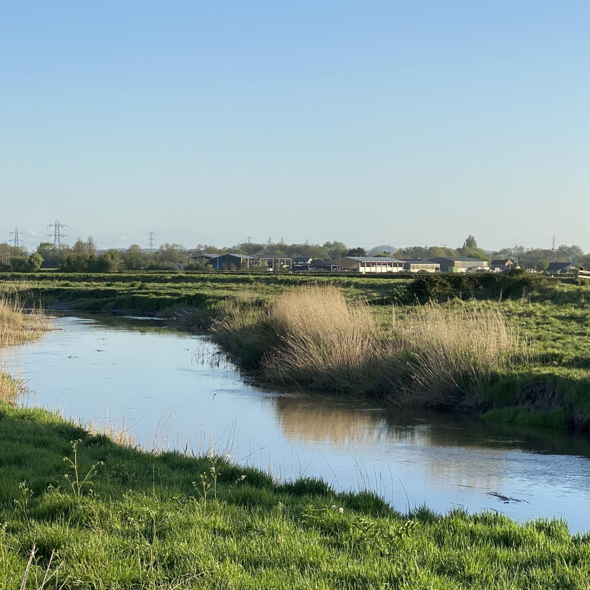
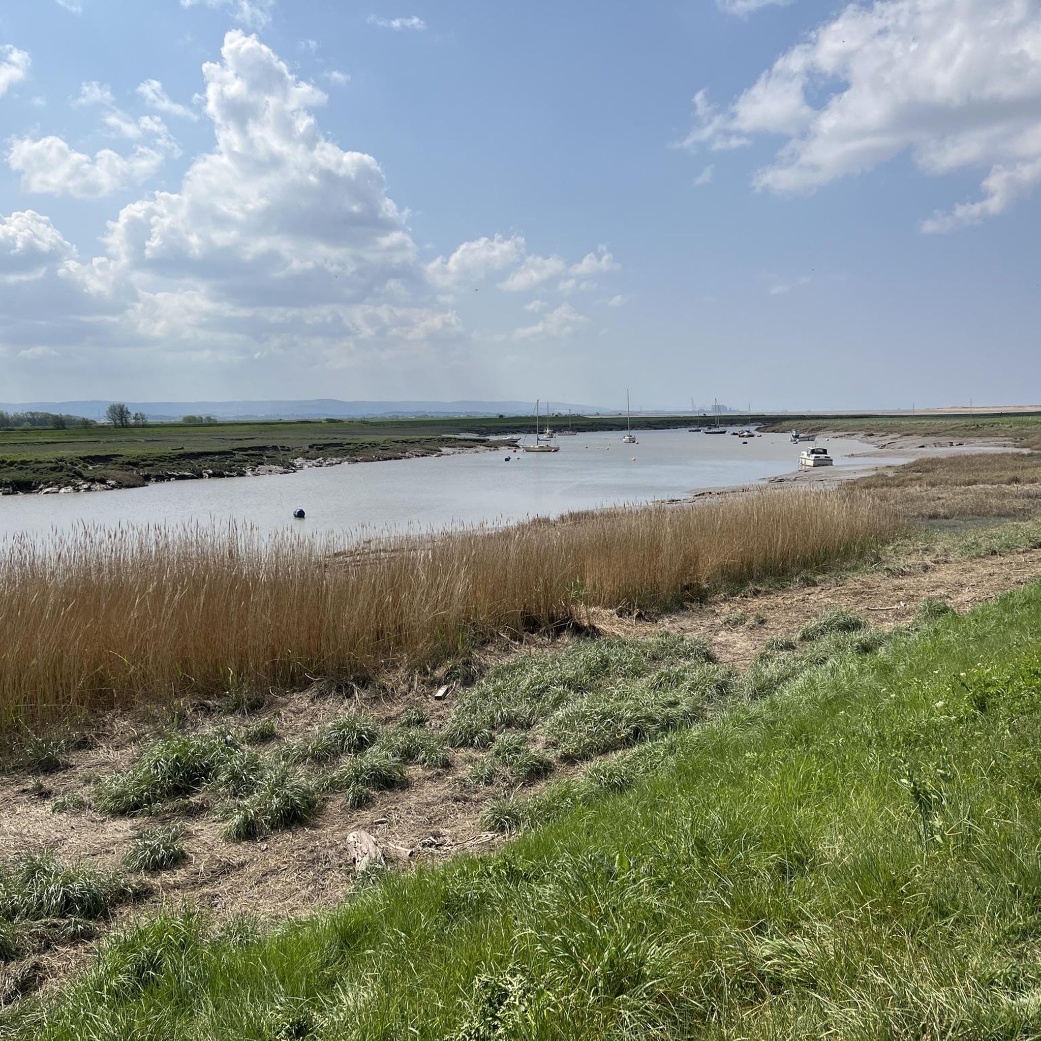
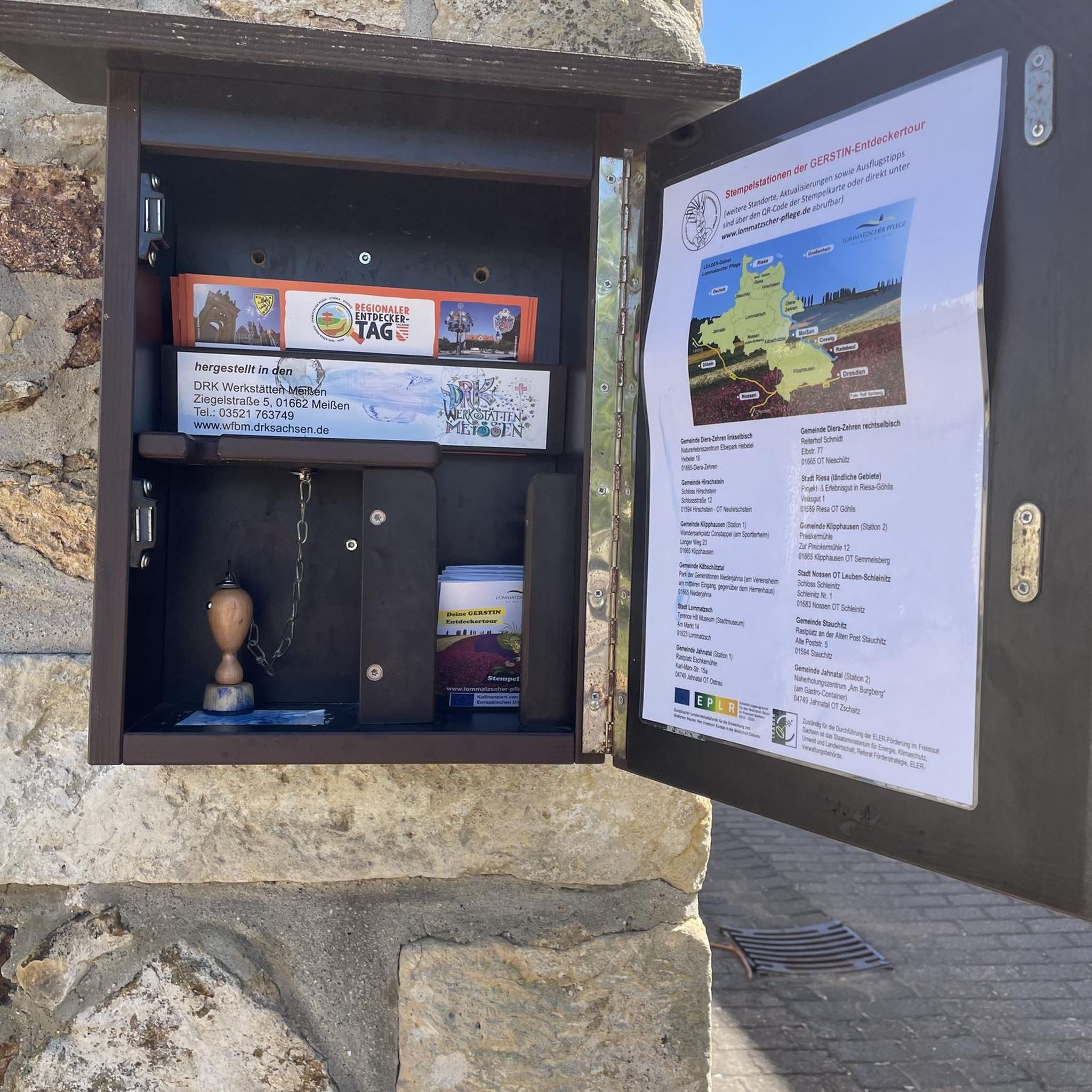


Tips from the Community

UPDATE & OPEN; The Chedzoy/Bawdrip section which was closed is now reopened to walkers and bike riders ; Information obtained from Sustran 2/7/25
1
0

Really pretty little path. Only downside is how short it is.
0
0


The pub is no longer open but there is also a Post Office /Village shop in the centre.
0
0


Internationally famous as a haven for birdwatchers in particular, Somerset Wildlife Trust’s main site on the Peat Moors covers more than 100 hectares. Restored peat diggings, three miles north-west of Glastonbury have been transformed into a network of open water, reed bed and the largest surviving fragment of lowland acid mire in the South-West. Designated as a National Nature Reserve, Westhay Moor was a pioneering project by Somerset Wildlife Trust, in the early 1980s. Since the site’s restoration it has become recognised as one of the top bird watching locations in Britain and often features in documentaries, including the BBC’s Springwatch and Autumnwatch series. Westhay's biggest attractions for birdwatchers arrive in autumn and stay through to January/ February -several million starlings fill the sky as they arrive to roost among the reeds each afternoon.
4
0

Gravel track along the former route of the Somerset Central Railway. Ham Wall is an RSPB managed wetland and a brilliant place to stop and immerse yourself in a landscape teeming with wildlife.
0
0

Frequently Asked Questions
How many mountain bike trails are available around Moorlinch?
There are over 20 mountain bike routes around Moorlinch listed on komoot. These trails primarily explore the flat, low-lying landscapes of the Somerset Levels, offering a consistent riding experience through nature reserves and along river paths.
Are there any easy mountain bike trails suitable for beginners or families in Moorlinch?
Yes, Moorlinch offers 6 easy mountain bike routes, perfect for beginners or family outings. An excellent option is the Ham Wall Nature Reserve – Willow Walk loop from Meare, an easy 22.1 km trail that explores the wetland habitats. Another family-friendly choice is the similar Ham Wall Nature Reserve – Willow Walk loop from Street, also an easy 22.0 km path through the nature reserve.
Are there any challenging or advanced mountain bike routes in the Moorlinch area?
The mountain biking routes directly around Moorlinch are generally characterized by gentle terrain with minimal elevation changes, making them suitable for easy to moderate ability levels. There are no routes classified as 'difficult' in this immediate area. For more challenging rides, you might consider exploring areas like Exmoor National Park or the Quantock Hills, which are further afield but known for more varied and demanding mountain biking terrain.
What kind of scenery can I expect on mountain bike trails around Moorlinch?
Mountain biking around Moorlinch offers scenic routes through the Somerset Levels, characterized by nature reserves, wetlands, and river paths. You'll encounter open countryside, often following waterways, and pass through local villages. The Loaf Bakehouse loop from Street, for example, leads through rural countryside and villages, providing a pleasant, gentle ride.
Are there any circular mountain bike routes in Moorlinch?
Yes, many of the mountain bike routes around Moorlinch are circular loops. For instance, the Browne's Pond – River Parrett loop from Bridgwater is a moderate 47.5 km circular route, and the Willow Walk – Glastonbury High Street loop from Woolavington is another moderate 40.5 km circular option.
What are some interesting places to see or landmarks near the mountain bike trails?
While mountain biking, you can explore several interesting spots. You might pass by the Shapwick Heath National Nature Reserve Trail or the Shapwick Heath National Nature Reserve itself. Other notable landmarks include Burrow Mump, a historic hill with a church tower offering views, and the Westhay Moor National Nature Reserve.
What do other mountain bikers say about the trails in Moorlinch?
The mountain bike routes in Moorlinch are highly regarded by the komoot community, with an average score of 5.0 stars from 3 reviews. Over 30 mountain bikers have used komoot to explore the area, often praising the accessible and gentle terrain through nature reserves and open countryside.
What is the best time of year for mountain biking in Moorlinch?
The flat, low-lying nature of the Somerset Levels means that trails can be enjoyed for much of the year. However, given the wetland characteristics, spring and summer generally offer the driest and most pleasant conditions. Autumn can also be beautiful with changing foliage. During winter, some paths might be muddy or wet, so checking local weather conditions before heading out is advisable.
Are there any cafes or places to stop for refreshments along the routes?
While specific cafes directly on every trail are not listed, the routes often pass through or near local villages. For example, the Loaf Bakehouse loop from Street passes through rural countryside and villages, where you may find local establishments. The Sweets Tea Rooms is a highlight in the area that could be incorporated into a ride.
Is parking available near the mountain bike trails in Moorlinch?
While specific parking details for every trailhead are not provided, routes often start from villages like Meare, Street, Bridgwater, or Woolavington. These locations typically offer public parking options. When planning your ride, it's recommended to check the starting point of your chosen route for the most convenient parking facilities.
What are the typical trail conditions like in Moorlinch?
The trails around Moorlinch are generally flat and follow well-defined paths through nature reserves, along rivers, and across open countryside. The terrain is mostly gentle, with minimal elevation changes. While conditions are usually good, during wetter periods, some sections, especially in wetland areas, might become muddy. Always check recent weather and trail reports if available.
Most popular attractions around Moorlinch

Get inspired with the komoot mobile app


Explore more
Browse the best MTB trails in other regions.
