The best walks and hikes around Moorlinch
4.3
(197)
1,680
hikers
114
hikes
Hiking around Moorlinch offers exploration of the rural Somerset landscape, characterized by gentle slopes, expansive open fields, and scattered woodlands. The region is part of the broader Somerset Levels, featuring quiet country lanes and hedgerows. Knoll Hill provides elevated viewpoints, while the King's Sedgemoor Drain offers tranquil paths along its banks. Nearby wetland reserves like Shapwick Heath and RSPB Ham Wall contribute diverse habitats for wildlife observation.
Best hiking trails around Moorlinch
- The most popular hiking route is Burrow Bridge…
Last updated: October 13, 2026
4.4
(7)
35
hikers
10.7km
02:45
40m
40m
Moderate hike. Good fitness required. Easily-accessible paths. Suitable for all skill levels.
4.7
(3)
10
hikers
5.04km
01:16
10m
10m
Easy hike. Great for any fitness level. Easily-accessible paths. Suitable for all skill levels.

4.8
(4)
9
hikers
Moderate hike. Good fitness required. Easily-accessible paths. Suitable for all skill levels.
6
hikers
3.95km
01:00
10m
10m
Easy hike. Great for any fitness level. Easily-accessible paths. Suitable for all skill levels.
1
hikers
19.2km
04:58
100m
100m
Moderate hike. Good fitness required. Easily-accessible paths. Suitable for all skill levels.
Get access to more routes and recommendations from other explorers.
Already have an account?
Our route recommendations are based on thousands of hikes, rides, and runs completed by other people on komoot.
Start today with a free account
Your next adventure awaits.

Tips from the Community

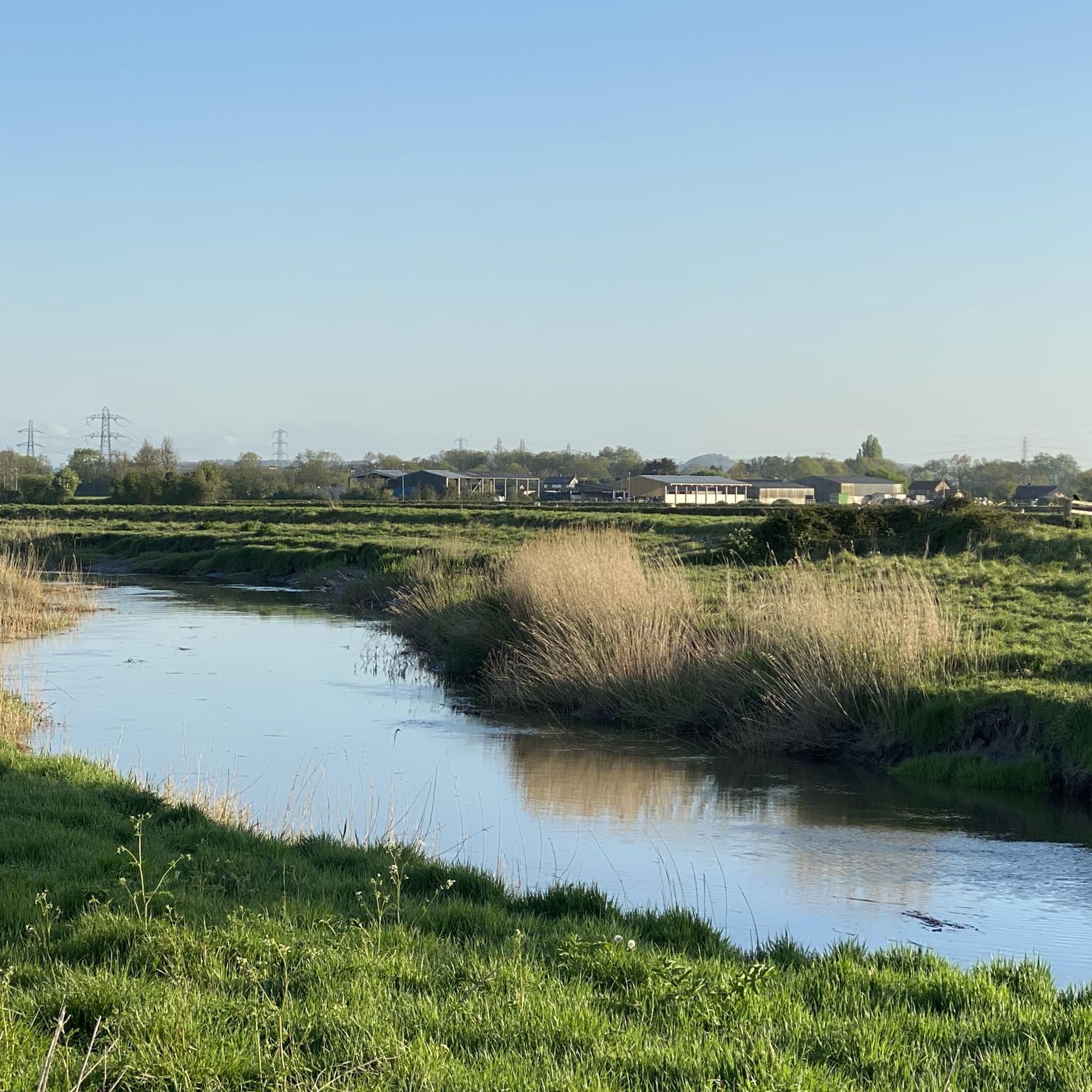
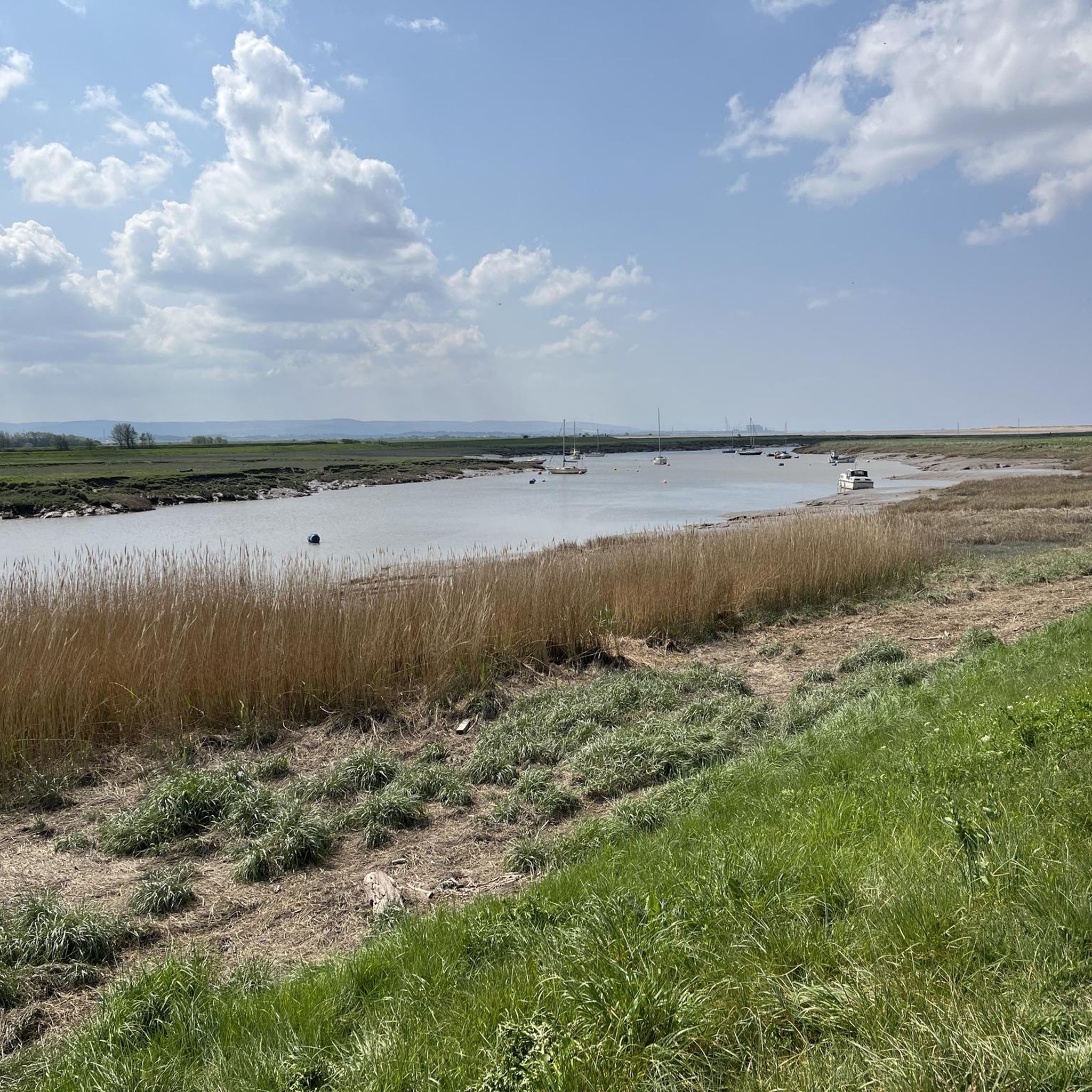
Great Birds to keep an eye out for! Parking £5 several short loops and lots of places to rest/sit.
0
0
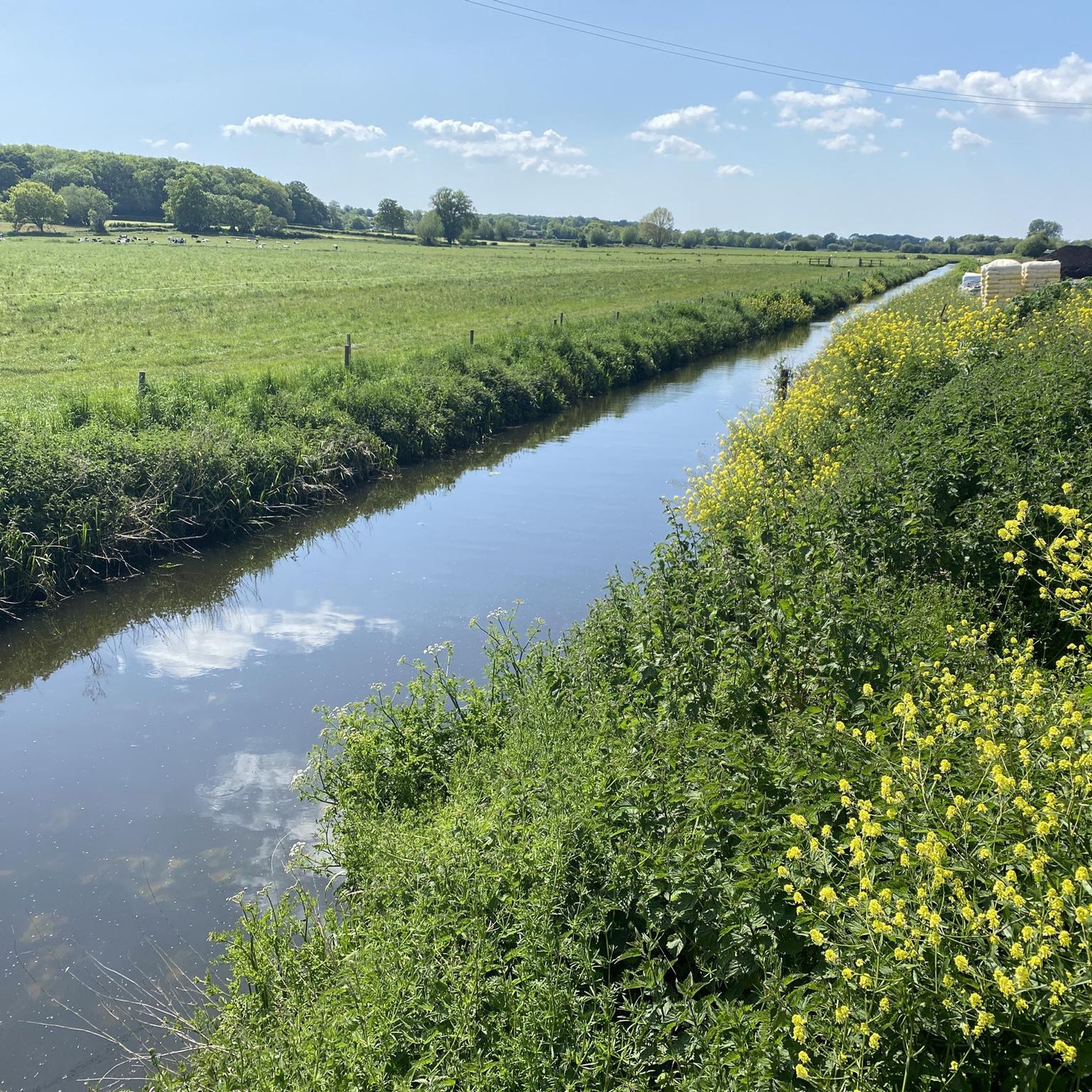
Lots of great Wildlife to look out for! Path very flat
0
0

Featuring a wide selection of drinks, outstanding atmosphere and a fantastic menu, this uniquely decorated café and bar is sure to please. https://leatherandlacebarandgrill.com/
0
0

UPDATE & OPEN; The Chedzoy/Bawdrip section which was closed is now reopened to walkers and bike riders ; Information obtained from Sustran 2/7/25
1
0

Fantastic view of the Tor, you can take gel the anticipation building inside you.
0
0


From this vantage point at RSPB Ham Wall, you can take in stunning views of Glastonbury Tor rising prominently in the distance. This iconic hill, visible from many locations in Somerset, provides a perfect backdrop for the surrounding landscape.
1
0

Frequently Asked Questions
How many hiking trails are available around Moorlinch?
Moorlinch offers a wide selection of hiking opportunities, with over 110 trails documented on komoot. These routes cater to various preferences, ranging from gentle strolls to more challenging excursions across the Somerset Levels.
What kind of terrain should I expect on hikes around Moorlinch?
The terrain around Moorlinch is primarily characterized by gentle slopes, expansive open fields, and scattered pockets of woodland. You'll encounter the understated beauty of the Somerset Levels, including teeming hedgerows and quiet country lanes. Some trails follow man-made waterways like the King's Sedgemoor Drain, while others lead through wetland reserves.
Are there easy hiking trails suitable for families or beginners in Moorlinch?
Yes, Moorlinch has plenty of easy trails perfect for families and beginners. Over 50 routes are rated as easy. For example, the King's Sedgemoor Drain loop from Chedzoy is an easy 3.1-mile path offering peaceful strolls and birdwatching opportunities along the waterway.
Can I find circular walking routes in Moorlinch?
Many of the hiking routes around Moorlinch are circular, allowing you to start and end at the same point. An excellent example is the Burrow Bridge and Toll Gate – Burrow Mump loop from Aller, a moderate 6.7-mile trail that includes the historic Burrow Mump.
What natural features or landmarks can I see while hiking in Moorlinch?
Hiking in Moorlinch offers views of several notable natural features and landmarks. You can explore the tranquil banks of the King's Sedgemoor Drain, or visit wetland havens like Shapwick Heath National Nature Reserve. The historic Burrow Mump is a prominent landmark often included in routes, offering views of the Southlake Moor. You might also encounter the Shapwick Heath National Nature Reserve Trail, known for its diverse wildlife.
Are there any viewpoints offering scenic vistas in the area?
While the region is generally gentle, Knoll Hill provides a focal point with expansive views of the surrounding Somerset Levels. Additionally, some routes, such as the View of Glastonbury Tor – Ham Wall Nature Reserve loop from Ashcott, offer glimpses of iconic landmarks like Glastonbury Tor.
Is Moorlinch a good place for dog-friendly walks?
Moorlinch and the surrounding Somerset Levels offer many paths suitable for dog walking, particularly across open fields and along country lanes. It's always recommended to keep dogs under control, especially near livestock or in nature reserves where wildlife is abundant. Check specific trail regulations for any restrictions.
What is the best time of year to go hiking in Moorlinch?
Moorlinch is enjoyable for hiking throughout the year. Spring brings blooming hedgerows, while summer offers long, pleasant days. Autumn showcases beautiful colors across the landscape, and even winter can be serene, though paths may be muddier. The area's generally gentle terrain makes it accessible in most conditions, but always check local weather forecasts.
Are there options for public transport to access hiking trails in Moorlinch?
Access to Moorlinch and its surrounding trails primarily relies on local bus services, which can be limited in rural Somerset. For more flexibility, driving to trailheads is often preferred, especially for routes further afield. Some trails, like the Former Railway Bridge, Glastonbury to Burnham Line, are part of National Cycle Route 3, offering traffic-free access for walkers and cyclists.
What do other hikers enjoy the most about hiking in Moorlinch?
The area is highly rated by the komoot community, with an average score of 4.4 stars from over 160 reviews. Hikers often praise the peaceful and quiet atmosphere, the simple beauty of the Somerset Levels, and the opportunities for wildlife observation, particularly in the wetland reserves. The diverse range of trails catering to different abilities is also frequently highlighted.
Are there any cafes or pubs near the hiking trails in Moorlinch?
While Moorlinch itself is a small village, the wider area of the Somerset Levels has various options for refreshments. You might find local pubs in nearby villages offering food and drink. For example, the Leather and Lace Café – View of the Mendip Hills loop from Edington starts near a café, providing a convenient stop before or after your hike. The Sweets Tea Rooms is another option in the vicinity.
Are there any National Nature Reserves in the Moorlinch area?
Yes, Moorlinch is situated within a region rich in National Nature Reserves. The broader Parrett valley catchment, including Moorlinch, King's Sedgemoor, Southlake Moor, and West Sedgemoor, are identified as National Nature Reserve sites. Nearby, you can explore the significant wetlands of Shapwick Heath National Nature Reserve and RSPB Ham Wall, both havens for diverse wildlife. For more detailed information on Somerset's National Nature Reserves, you can visit gov.uk.
Most popular attractions around Moorlinch

Get inspired with the komoot mobile app


Explore more
Browse the best Hikes in other regions.
